The best walks and hikes in Veracruz
4.3
(3)
91
hikers
7
hikes
Hiking trails in Veracruz primarily explore the city's coastal areas and urban landscapes. The terrain is generally flat, featuring routes along beaches and through developed areas. These paths offer views of the Gulf of Mexico and access to local points of interest. The region's climate supports outdoor activities year-round, with routes designed for accessibility.
Best hiking trails in Veracruz
- The most popular hiking route is Playa La Bamba – Playa Gaviota loop from Estadio Luis “Pirata” de la Fuente,…
Last updated: July 2, 2026
23
hikers
Moderate hike. Good fitness required. Easily-accessible paths. Suitable for all skill levels.
23
hikers
7.15km
01:50
30m
30m
Easy hike. Great for any fitness level. Easily-accessible paths. Suitable for all skill levels.

Sign up for free
3.0
(1)
11
hikers
Moderate hike. Good fitness required. Easily-accessible paths. Suitable for all skill levels.
5.0
(1)
10
hikers
5.34km
01:22
20m
20m
Easy hike. Great for any fitness level. Easily-accessible paths. Suitable for all skill levels.
10
hikers
6.25km
01:36
20m
20m
Easy hike. Great for any fitness level. Easily-accessible paths. Suitable for all skill levels.
5.0
(1)
7
hikers
2.84km
00:44
10m
10m
Easy hike. Great for any fitness level. Easily-accessible paths. Suitable for all skill levels.
7
hikers
Moderate hike. Good fitness required. Easily-accessible paths. Suitable for all skill levels.
Our route recommendations are based on thousands of hikes, rides, and runs completed by other people on komoot.
Start today with a free account
Your next adventure awaits.
Login or Signup
Popular around Veracruz

Tips from the Community

Nice area to rest and have a cold beer in front of the old church
1
0
Great harbor with loads of souvenir shops and great buildings. Opposite is an old Spanish fortress.
0
0
Frequently Asked Questions
What kind of terrain can I expect on hiking trails in Veracruz?
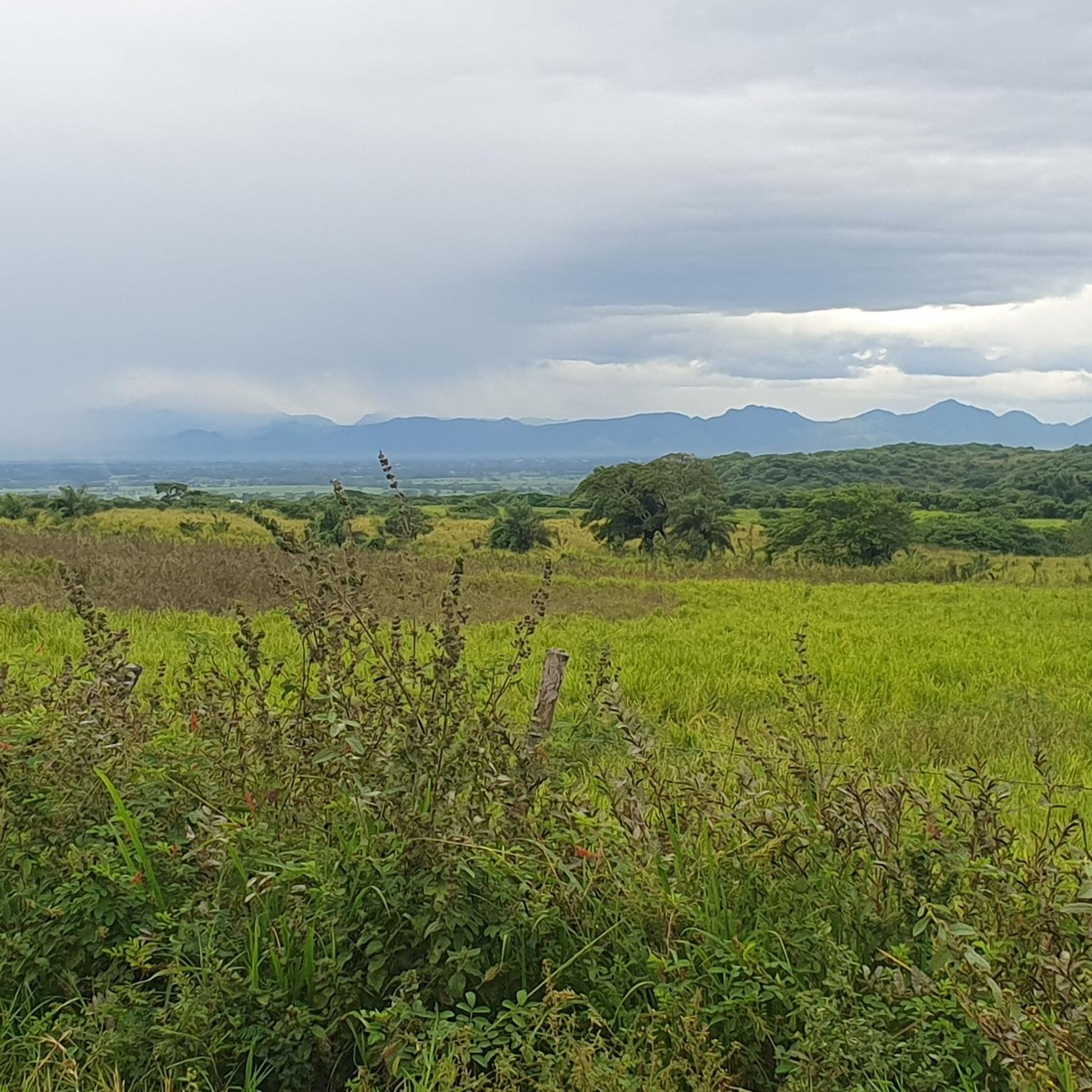
Hiking trails directly within Veracruz city primarily explore coastal areas and urban landscapes. The terrain is generally flat, featuring routes along beaches and through developed areas. However, the broader Veracruz state offers incredibly diverse terrain, from the towering mountains of Los Tuxtlas and Orizaba to lush jungles, cloud forests, and even unique sand dunes at Playa Chachalacas.
Are there any easy hiking trails suitable for beginners in Veracruz?
Yes, Veracruz offers several easy trails. For instance, the Playa La Bamba loop from Veracruz Mexico Temple is an easy 4.3-mile (7.0 km) path featuring a mix of beachside walking and local scenery. Another accessible option is the Playa La Bamba – Playa Martí loop from The Italian Coffee Company, which is 3.3 miles (5.3 km) long.
Can I find circular hiking routes in Veracruz?
Many of the popular hiking routes in Veracruz are circular, offering convenient starting and ending points. Examples include the Playa La Bamba – Playa Gaviota loop from Estadio Luis “Pirata” de la Fuente, a 6.5-mile (10.5 km) trail, and the Playa La Bamba – Playa Tortuga loop from Estadio Luis “Pirata” de la Fuente, which is 5.8 miles (9.3 km).
Are there any hiking trails in Veracruz that feature waterfalls?
While the urban trails in Veracruz city don't typically feature waterfalls, the broader Veracruz state is rich in stunning cascades. Notable waterfalls include Eyipantla Falls, Cascada de Texolo, and the Xico Waterfalls, all of which are surrounded by scenic trails perfect for nature walks and photography. The Sautiapan waterfalls also provide a rewarding hiking experience.
What are the best times of year for hiking in Veracruz?
Veracruz's climate supports outdoor activities year-round. However, the cooler, drier months from November to April are generally considered ideal for hiking, especially for exploring the more mountainous or jungle-dense regions, as humidity and heat are lower. The coastal trails are pleasant throughout the year.
Are there opportunities for wildlife spotting on Veracruz hikes?
Yes, especially outside the immediate urban areas. The lush forests and cloud forests around Xalapa and the jungles of regions like Jalcomulco are home to diverse wildlife. Laguna Catemaco is known for exotic birds and other wildlife. Even on coastal routes, you might spot various bird species.
What kind of views can I expect on hiking trails in Veracruz?
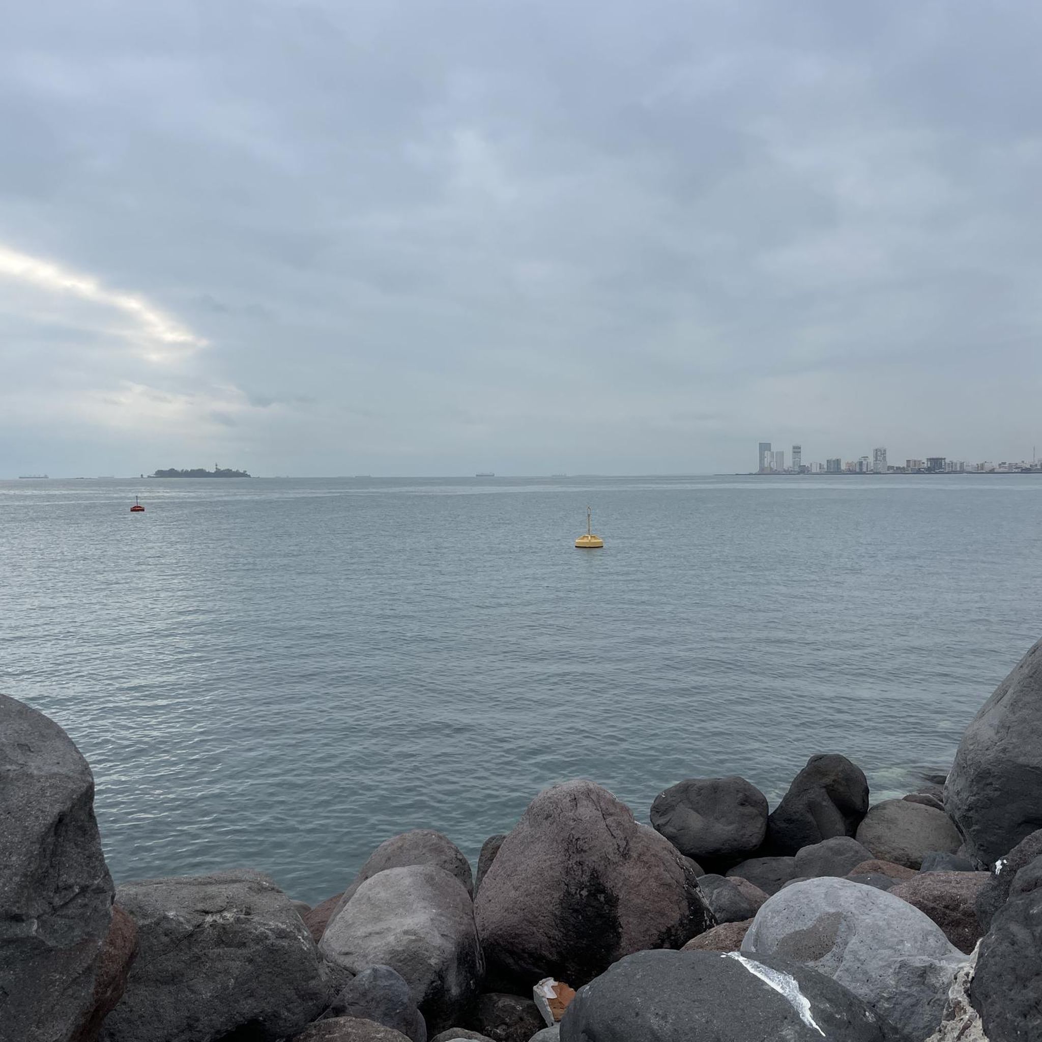
Within Veracruz city, trails offer coastal views of the Gulf of Mexico and urban scenery. Venturing further into the state, you can find spectacular views from mountain ranges like Los Tuxtlas and Orizaba, panoramic vistas from Cerro del Borrego, and breathtaking sights of waterfalls surrounded by dense forests.
Are there any less crowded hiking spots in Veracruz?
While popular coastal routes can see more foot traffic, exploring trails in areas like Cofre de Perote National Park or the high mountains near Huatusco (Ixpila, El Boquerón, El Sótano) can offer a more secluded experience. The trails around Laguna Encantada also provide a peaceful walking environment.
What do other hikers enjoy most about hiking in Veracruz?
The hiking routes in Veracruz are highly rated by the komoot community, with an average score of 4.3 stars from 3 reviews. Hikers often praise the accessibility of the coastal paths, the pleasant beachside walking, and the convenience of the urban routes for exploring local points of interest.
Are there any historical or cultural landmarks to explore near hiking trails in Veracruz?
Yes, the region offers several points of interest. The Port of Veracruz – Zócalo of Veracruz loop from Sirloin takes you through significant urban areas. Further afield, the Cempoala Ruins offer a chance to hike through forests while learning about ancient civilizations. The colonial town of Xico, near the Xico Waterfalls, also provides cultural exploration.
How many hiking trails are available in Veracruz?
There are 7 hiking trails documented in this guide for Veracruz, ranging in difficulty from easy to moderate. These routes primarily focus on the coastal and urban areas of the city.
Are there any trails that offer views of the Pico de Orizaba?
While summiting Pico de Orizaba is for experienced hikers, the area around Orizaba provides lush vegetation and deep valleys, with the majestic Pico de Orizaba serving as a prominent backdrop. Accessible trails around its base and viewpoints like Cerro del Borrego offer panoramic vistas of Mexico's highest peak.
What are the options for longer hikes in Veracruz?
For those seeking longer excursions within the city, the Port of Veracruz – Zócalo of Veracruz loop from Estadio Luis “Pirata” de la Fuente covers 6.7 miles (10.7 km) and is a moderate route. Beyond the city, the diverse landscapes of Veracruz state, including mountain ranges and jungles, offer numerous opportunities for extended treks.
Most popular routes in Veracruz

Get inspired with the komoot mobile app


Explore more
Browse the best Hikes in other regions.
