The best walks and hikes in Ixtaczoquitlán
5.0
(13)
5
hikers
3
hikes
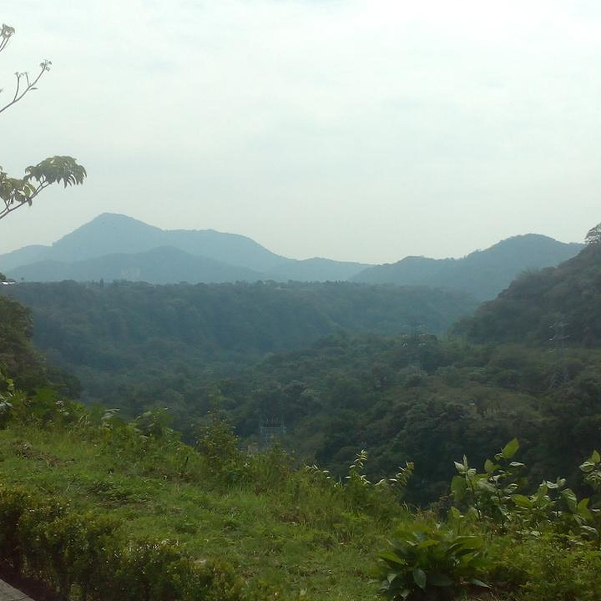
Hiking in Ixtaczoquitlán offers diverse terrain within a lush, mountainous landscape in Veracruz, Mexico. The region is characterized by abundant flora, including coffee plantations, and features significant natural elements like the Blanco River and its canyons. Hikers can explore varied elevation gains, from gentle paths to more challenging treks, set against a backdrop of verdant vegetation.
Best hiking trails in Ixtaczoquitlán
- The most popular hiking route is Cerro del Borrego loop from Orizaba, a 4.1 miles (6.6 km) trail…
Last updated: July 1, 2026
5.0
(10)
3
hikers
6.65km
02:13
280m
280m
Moderate hike. Good fitness required. Easily-accessible paths. Suitable for all skill levels.
5.0
(2)
1
hikers
13.2km
03:28
120m
120m
Moderate hike. Good fitness required. Easily-accessible paths. Suitable for all skill levels.

Sign up for free
5.0
(1)
1
hikers
4.14km
01:05
30m
30m
Easy hike. Great for any fitness level. Easily-accessible paths. Suitable for all skill levels.
Our route recommendations are based on thousands of hikes, rides, and runs completed by other people on komoot.
Start today with a free account
Your next adventure awaits.
Login or Signup



Tips from the Community

There is an entrance fee, it includes many attractions such as the cable car and the crystal viewing platform.
0
0

Just want to enjoy a very healthy, safe and fun route. Cheer up.
0
0
Frequently Asked Questions
How many hiking trails are available in Ixtaczoquitlán?
Ixtaczoquitlán offers a selection of hiking routes, with komoot currently featuring 3 distinct trails. These range from easy walks to moderate climbs, providing options for various fitness levels.
What is the best time of year to go hiking in Ixtaczoquitlán?
The region experiences a temperate and humid climate, with temperatures generally ranging from 10°C to 32°C. While there is a wet season from June to September, mornings and afternoons are typically clear, making most of the year suitable for hiking. For the most comfortable conditions, consider visiting outside the peak wet season.
Are there any easy hiking trails suitable for beginners or a relaxed outing?
Yes, for an easier and more relaxed experience, consider the Coyametla loop from Orizaba. This 4.1 km (2.6 miles) trail leads through varied landscapes and can typically be completed in about 1 hour and 5 minutes.
What kind of natural landscapes can I expect to see while hiking in Ixtaczoquitlán?
Hiking in Ixtaczoquitlán immerses you in a lush, mountainous landscape characterized by abundant flora, including picturesque coffee plantations. You'll encounter dramatic canyons carved by the Blanco River, and areas with diverse plant life such as jacarandas, orchids, and magnolias. The region's rich biodiversity also means you might spot various birds and other wildlife.
Are there any notable viewpoints or attractions along the hiking routes?
Absolutely. A prominent natural trail in the region is the '562 Steps' (500 Escalones), which descends towards a river, offering stunning views of waterfalls and verdant vegetation. This path can lead to the exhilarating Mirador de Cristal, a glass viewpoint perched 90 meters above the Blanco River, providing spectacular panoramic vistas. Another accessible natural attraction is the Laguna de los Sifones, a serene natural spring where swimming is possible.
Are there any circular hiking routes in Ixtaczoquitlán?
Yes, several routes in the area are circular. For example, the moderate Cerro del Borrego loop from Orizaba offers a 6.6 km (4.1 miles) journey with views of the mountainous terrain. Another option is the easy Coyametla loop from Orizaba, which is 4.1 km (2.6 miles) long.
What do other hikers say about the trails in Ixtaczoquitlán?
The hiking routes in Ixtaczoquitlán are highly regarded by the komoot community, holding an average rating of 5.0 stars from over 12 reviews. Hikers often praise the diverse terrain, the lush natural beauty, and the variety of options available for different skill levels.
Are there any longer or more challenging hikes for experienced trekkers?
For those seeking a longer exploration, the Hiking loop from DIF Orizaba is a moderate 13.2 km (8.2 miles) path. This trail provides an extended journey through the area's natural beauty, typically completed in about 3 hours and 28 minutes.
Can I find unique geological features or caves in the Ixtaczoquitlán area?
Yes, for a different kind of adventure, the region is home to ancient subterranean cave formations. The Grutas de la Cruz and Grutas de la Galicia, located within the Cerro del Cuesta, are millions of years old and feature impressive stalactites and stalagmites. Due to their narrow and labyrinthine passages, guided tours are recommended for exploration.
What kind of wildlife might I encounter on the trails?
Ixtaczoquitlán boasts a rich biodiversity. While hiking, you might spot various fauna including scarlet kingsnakes, black racers, lizards, geckos, coatis, and raccoons. The area is also a haven for birdwatchers, with species like Green Jays, Toucans, and Pygmy Owls inhabiting the lush environment.

Get inspired with the komoot mobile app


Explore more
Browse the best Hikes in other regions.
