The best walks and hikes in Ixhuatlancillo
5.0
(13)
5
hikers
3
hikes
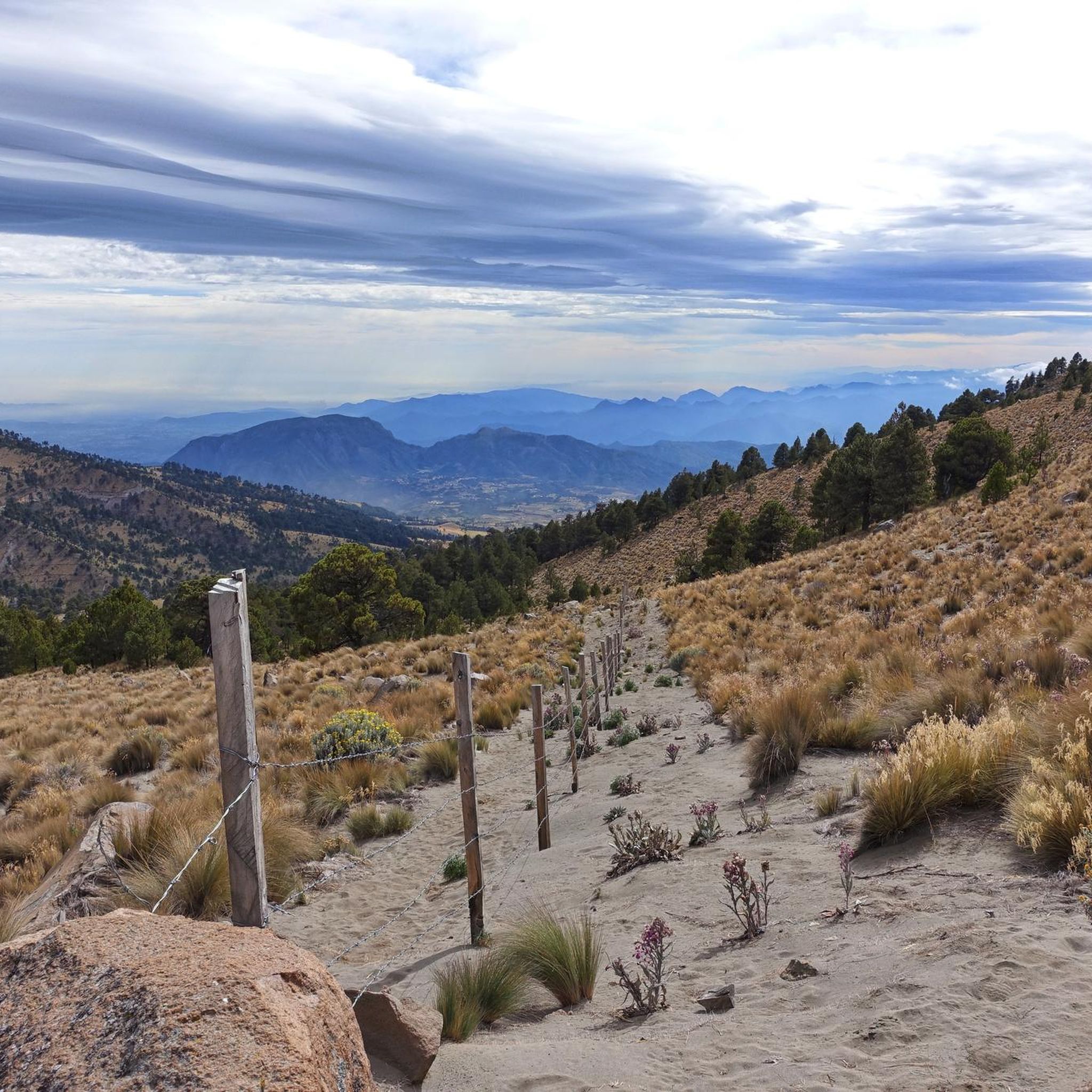
Hiking in Ixhuatlancillo, a municipality in Veracruz, Mexico, offers trails set amidst green mountains at an elevation of 1,460 meters above sea level. The region is situated at the foothills of the Citlaltépetl volcano, also known as Pico de Orizaba National Park, providing a landscape of varied terrain. Hikers can expect routes that traverse elevated areas, offering views of the surrounding natural features. This area is characterized by its verdant slopes and mountainous environment.
Best hiking trails in Ixhuatlancillo
- The…
Last updated: July 1, 2026
5.0
(10)
3
hikers
6.65km
02:13
280m
280m
Moderate hike. Good fitness required. Easily-accessible paths. Suitable for all skill levels.
5.0
(2)
1
hikers
13.2km
03:28
120m
120m
Moderate hike. Good fitness required. Easily-accessible paths. Suitable for all skill levels.

Sign up for free
5.0
(1)
1
hikers
4.14km
01:05
30m
30m
Easy hike. Great for any fitness level. Easily-accessible paths. Suitable for all skill levels.
Our route recommendations are based on thousands of hikes, rides, and runs completed by other people on komoot.
Start today with a free account
Your next adventure awaits.
Login or Signup
Popular around Ixhuatlancillo

Tips from the Community

There is an entrance fee, it includes many attractions such as the cable car and the crystal viewing platform.
0
0

Just want to enjoy a very healthy, safe and fun route. Cheer up.
0
0
Frequently Asked Questions
How many hiking trails are available in Ixhuatlancillo?
Ixhuatlancillo offers a selection of 3 hiking routes, catering to various preferences. These trails are highly rated by the komoot community.
What kind of terrain can I expect on hikes in Ixhuatlancillo?
The terrain in Ixhuatlancillo is characterized by green mountains and elevated areas, situated at an elevation of 1,460 meters above sea level. You can expect varied natural settings, with routes offering moderate ascents and descents, providing views of the surrounding landscape at the foothills of the Citlaltépetl volcano.
Are there easy hiking options in Ixhuatlancillo?
Yes, there is one easy hiking route available. The Coyametla loop from Orizaba is a 2.6-mile (4.1 km) trail that leads through green mountains and local scenery, typically completed in about 1 hour and 5 minutes.
Are there longer or more challenging hikes available in the area?
For those seeking a longer experience, the Hiking loop from DIF Orizaba is a moderate 8.2-mile (13.2 km) path, offering a more extensive exploration of the area's varied natural settings. This route involves moderate elevation changes.
Can I find circular hiking routes in Ixhuatlancillo?
Yes, all the listed hiking routes in Ixhuatlancillo are circular. For example, the Cerro del Borrego loop from Orizaba is a popular moderate option, covering 4.1 miles (6.6 km) in about 2 hours and 13 minutes.
What are the typical elevations and elevation gains on these trails?
Ixhuatlancillo itself is located at an elevation of 1,460 meters above sea level. The hiking trails feature varying elevation gains. For instance, the Cerro del Borrego loop from Orizaba has an elevation gain of approximately 278 meters.
Is Ixhuatlancillo suitable for family-friendly hikes?
Given the presence of an easy route like the Coyametla loop from Orizaba, Ixhuatlancillo can be suitable for families looking for less strenuous outdoor activities. The green mountains and scenic environment offer a pleasant setting for all ages.
What do other hikers enjoy most about hiking in Ixhuatlancillo?
The hiking routes in Ixhuatlancillo are highly rated by the komoot community, with an average score of 5.0 stars from over 10 reviews. Hikers often praise the varied terrain, the green mountainous landscapes, and the proximity to the Pico de Orizaba region, which offers a rich environment for outdoor adventure.
Are there any prominent natural features or landmarks to see while hiking?
The region is notably situated at the foothills of the majestic Citlaltépetl volcano, also known as Pico de Orizaba National Park. While specific highlights along the trails are not detailed, the general landscape offers picturesque views of green mountains and the imposing volcano in the distance.
What is the best time of year to go hiking in Ixhuatlancillo?
While specific seasonal recommendations are not available, the elevated position and green mountainous environment of Ixhuatlancillo suggest that hiking would be enjoyable during periods with mild weather, avoiding extreme heat or heavy rainfall, which are common considerations for outdoor activities in Veracruz.
Is public transport available to reach the hiking areas in Ixhuatlancillo?
Information regarding specific public transport options directly to the trailheads in Ixhuatlancillo is not detailed. However, Ixhuatlancillo is a municipality, and local transport options like 'colectivos' (shared taxis/vans) are common in the Orizaba region for inter-town travel.
Are there any specific permits required for hiking in Ixhuatlancillo?
There is no information indicating that specific permits are required for hiking on the listed trails in Ixhuatlancillo. It's generally advisable to respect local regulations and private property signs if encountered.
Most popular routes in Ixhuatlancillo

Get inspired with the komoot mobile app


Explore more
Browse the best Hikes in other regions.
