The best road cycling routes around Bad Aibling
4.6
(201)
3,759
riders
88
rides
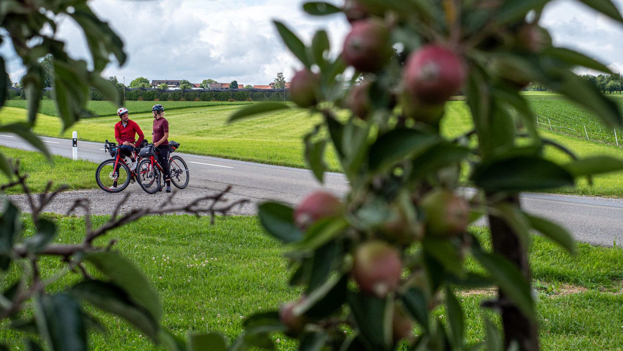
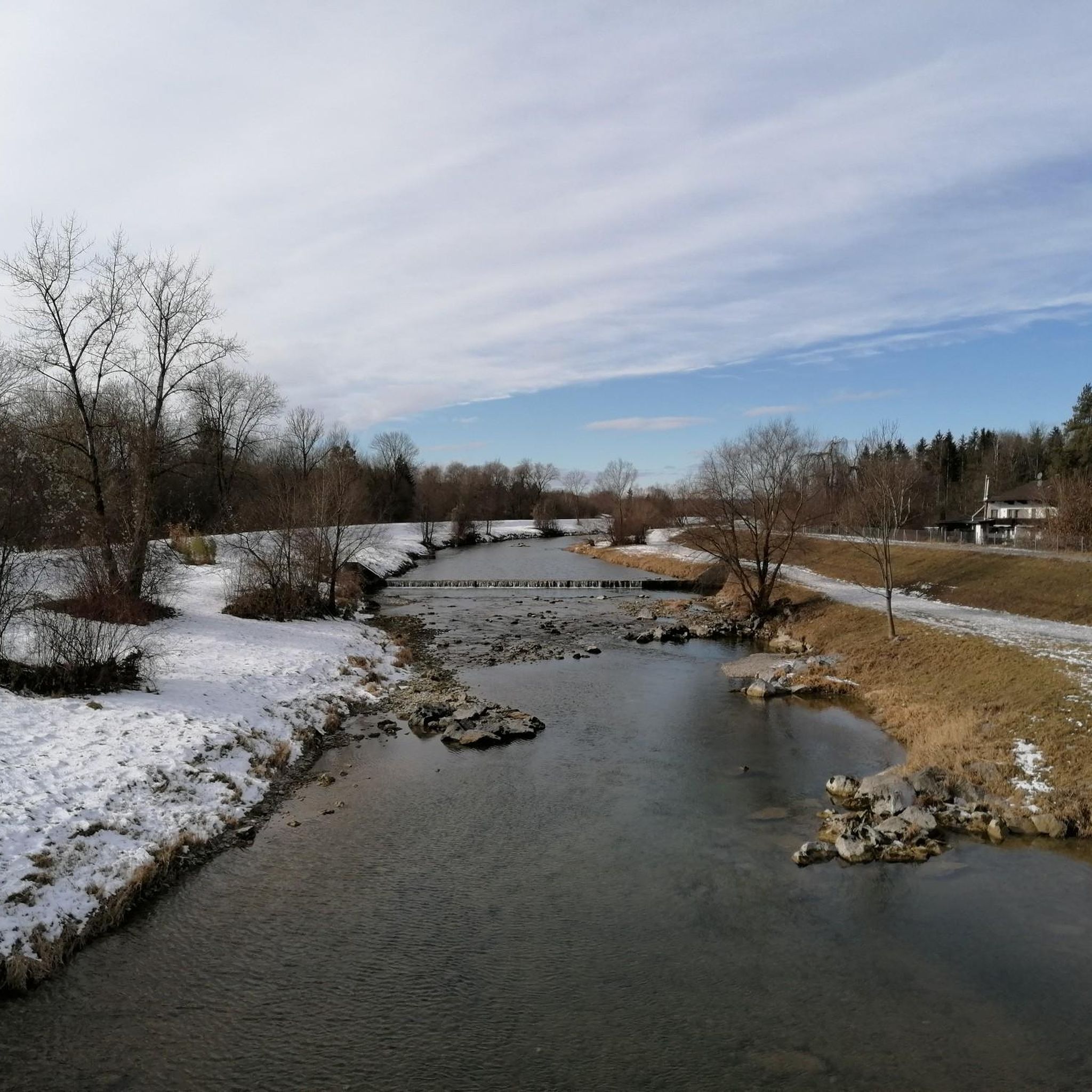
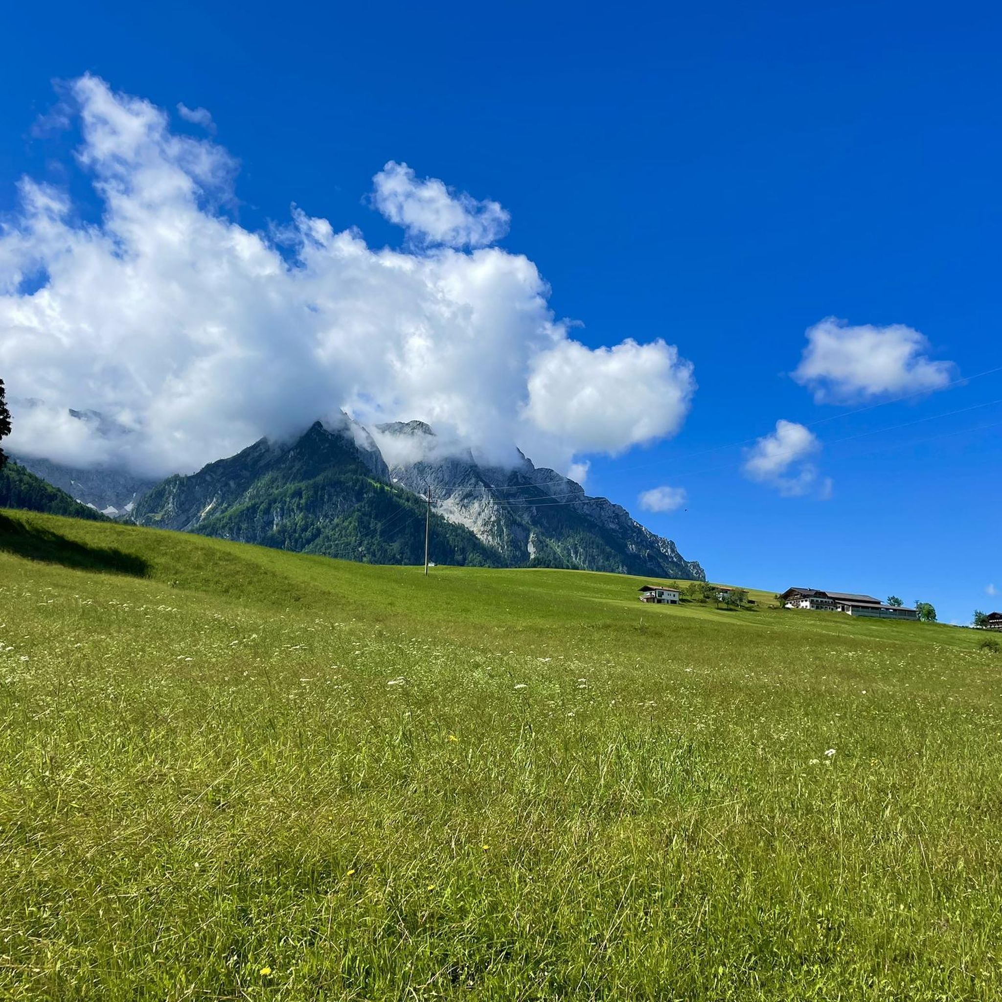
Road cycling routes around Bad Aibling are situated in Bavaria's pre-Alpine foothills, offering a varied landscape for cyclists. The region features a mix of flat paths along rivers like the Mangfall, as well as routes with significant elevation changes leading into the hills. This area is characterized by moorland, forests, and agricultural fields, shaped by the Ice Age. Paved surfaces are common, making the routes suitable for road biking across different skill levels.
Best road cycling routes around Bad Aibling
…Last updated: July 12, 2026
4.7
(76)
1,306
riders
Hard road ride. Very good fitness required. Mostly well-paved surfaces and easy to ride.
4.5
(13)
297
riders
Hard road ride. Very good fitness required. Mostly well-paved surfaces and easy to ride.

Sign up for free
4.7
(17)
227
riders
66.6km
02:49
480m
480m
Moderate road ride. Good fitness required. Mostly well-paved surfaces and easy to ride.
4.5
(8)
114
riders
Moderate road ride. Good fitness required. Some segments of this route may be unpaved and difficult to ride.
4.7
(9)
123
riders
Easy road ride. Great for any fitness level. Mostly well-paved surfaces and easy to ride.
Get access to more routes and recommendations from other explorers.
Sign up for free
Already have an account?
Our route recommendations are based on thousands of hikes, rides, and runs completed by other people on komoot.
Start today with a free account
Your next adventure awaits.
Login or Signup

Other adventures around Bad Aibling

Tips from the Community


Dangerous bend! Accidents involving cyclists happen frequently.
0
0
2 lakes, many hills and at the end a beer
0
0

The neo-baroque complex is privately owned and not open to visitors.
1
0

Here you can enjoy the view of the Alps
1
0

This is a beautiful route, varied, winding, hilly and you can still let the bike run while enjoying the view.
0
0


A postcard idyll. Very nice view over the Inn. The bridge itself is less attractive, but it is guarded by a statue of Saint Nepomuk.
4
1
Frequently Asked Questions
What kind of terrain can I expect when road cycling around Bad Aibling?
Bad Aibling offers a diverse landscape for road cyclists. You'll find a mix of largely flat paths, such as sections along the Mangfall Cycle Path, and more challenging routes with significant elevation changes in the pre-Alpine foothills. The region features moorland, forests, and agricultural fields, with most routes having paved surfaces suitable for road biking.
Are there road cycling routes suitable for beginners or families in Bad Aibling?
Yes, Bad Aibling provides routes for all fitness levels. For an easier ride, consider paths along the Mangfall River, which offer gentle terrain. An example is the Triftbach Canal near Bruckmühl – Mangfall River Cycle Path loop from Bad Aibling, which is an easy 37.7 km trail with minimal elevation gain.
What are some scenic highlights or natural features along the road cycling routes?
The routes traverse beautiful natural areas in the Mangfall region, offering splendid views of the Bavarian Limestone Alps. You can also explore the Mangfall River and its valley, as well as the unique moorland landscapes. The Jenbach Paradise and Jenbach Waterfalls are notable natural attractions nearby.
Are there challenging road cycling routes for experienced cyclists near Bad Aibling?
Absolutely. For experienced cyclists seeking a challenge, routes with substantial elevation gain are available. The Single-Lane Rock Tunnel – Sudelfeld Pass Ascent loop from Bad Aibling is a difficult 75.1 km route with nearly 1,000 meters of elevation gain. Another demanding option is the Quiet country road loop from Bad Aibling Kurpark, covering over 120 km with more than 1,100 meters of ascent.
Can I find circular road cycling routes in Bad Aibling?
Yes, many road cycling routes around Bad Aibling are designed as loops, allowing you to start and end at the same point. For example, the Großhöhenrain Church – Höglinger Weiher loop from Bad Aibling offers a balanced ride through the countryside.
What is the best time of year for road cycling in Bad Aibling?
The region's diverse landscapes are enjoyable throughout the warmer months. Spring and autumn offer pleasant temperatures and vibrant scenery, while summer provides longer daylight hours. Always check local weather conditions before heading out, especially for routes with higher elevations.
Are there options for parking near the cycling routes in Bad Aibling?
Many routes in Bad Aibling are accessible from various starting points, including the town center and areas like the Kurpark. While specific parking information for each route varies, Bad Aibling generally offers parking facilities that can serve as convenient starting points for your cycling tours.
How accessible are the road cycling routes by public transport in Bad Aibling?
Bad Aibling is well-connected by public transport, making it possible to reach the area and access various cycling routes. The town's train station provides connections, and local bus services can help you get closer to specific starting points for your rides.
What do other cyclists say about the road cycling routes in Bad Aibling?
The road cycling routes around Bad Aibling are highly rated by the komoot community, with an average score of 4.6 stars from over 210 reviews. Cyclists often praise the varied terrain, scenic views, and the well-maintained paved surfaces that make for an enjoyable riding experience.
Are there any places to stop for refreshments along the road cycling routes?
Yes, several routes pass by or lead to places where you can stop for refreshments. The Tregler Alm is a well-known mountain hut highlighted for its gastronomy and service, making it an inviting stop during longer tours. Many routes also traverse villages with cafes and pubs.
What are some notable landmarks to look out for while cycling in Bad Aibling?
Beyond the natural beauty, you can encounter historical landmarks. Maxlrain Castle is a picturesque point along several routes, offering magnificent mountain views. The Panoramic Route Near Zaißberg – Doblergraben loop from Bad Aibling Kurpark is an example of a route that offers scenic views and passes through the local landscape.
How many road cycling routes are available around Bad Aibling?
Based on komoot data, there are over 80 road cycling routes around Bad Aibling, catering to various skill levels, from easy riverside rides to challenging climbs in the pre-Alpine hills.
Most popular routes around Bad Aibling
Most popular attractions around Bad Aibling

Get inspired with the komoot mobile app


Explore more
Browse the best Road cycling routes in other regions.
