The 15 Most Amazing Peaks around Thalheim/Erzgebirge
Best mountain peaks around Thalheim/Erzgebirge are situated within the scenic Ore Mountains, a region characterized by rolling hills, dense forests, and picturesque valleys. This area offers diverse elevated points and access to significant regional peaks. The landscape provides opportunities for nature enthusiasts and hikers to explore both natural beauty and historical sites. Thalheim/Erzgebirge serves as a base for discovering various mountain peak routes and viewpoints.
Best mountain peaks around Thalheim/Erzgebirge
- The most popular mountain peaks is Katzenstein Triangulation Point,…
Last updated: July 1, 2026
Tabakstanne
Highlight • Summit
Translated by Google •
Tip by

Katzenstein Triangulation Point
Highlight • Monument
Translated by Google •
Tip by

Sign up now to discover places like this
Get recommendations on the best single tracks, peaks, & plenty of other exciting outdoor places.
Sign up for free
Kemtau Rocks
Highlight • Natural Monument
Translated by Google •
Tip by

View of Chemnitz, Augustusburg, and the Ore Mountains from Steinberg
Highlight • Viewpoint
Translated by Google •
Tip by

Böser Berg
Highlight (Segment) • Summit
Translated by Google •
Tip by

Sign up for free to discover even more peaks around Thalheim/Erzgebirge.
Sign up for free
Already have an account?
Start today with a free account
Your next adventure awaits.
Login or Signup
Popular around Thalheim/Erzgebirge
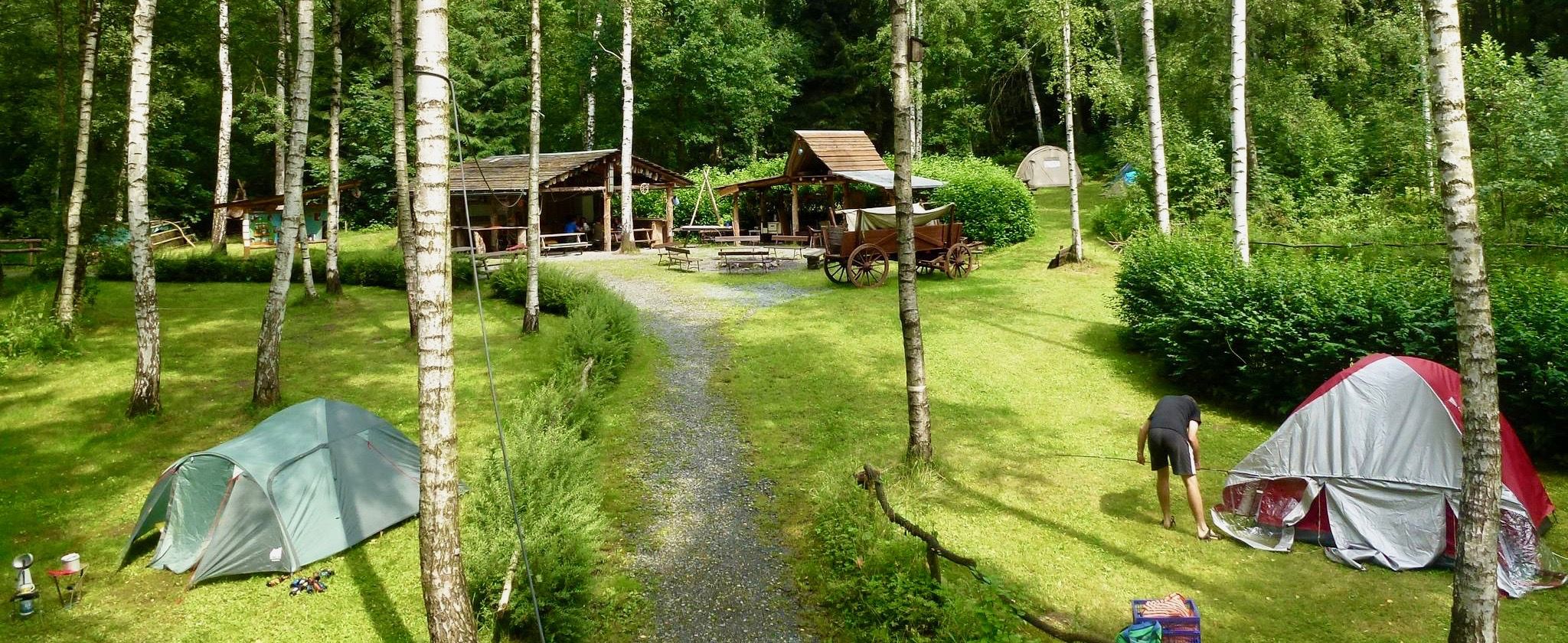
Nature campsites — 13 magical places around Germany
Weekend tours in the Ore Mountains

Wandertouren - Gipfelglück
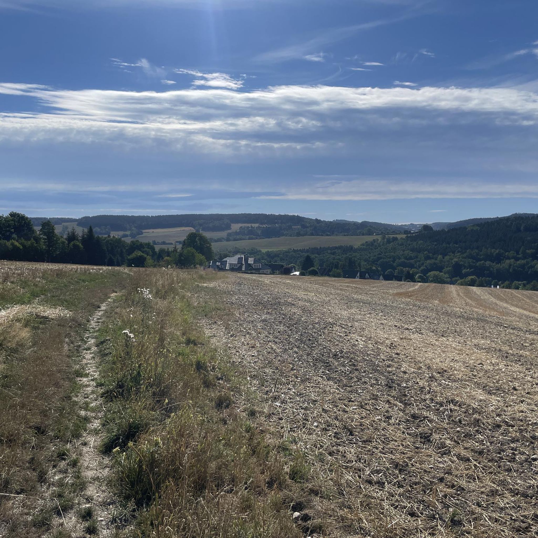
Hiking around Thalheim/Erzgebirge
Cycling around Thalheim/Erzgebirge
Running Trails around Thalheim/Erzgebirge
MTB Trails around Thalheim/Erzgebirge
Road Cycling Routes around Thalheim/Erzgebirge

Gravel biking around Thalheim/Erzgebirge


Tips from the Community

Very nice tour and lots of great views.
0
0


How did the name "Tabakstanne" come about? Visit the place and find out!
0
0

"The Royal Saxon Triangulation (here with its historical proper name) is a national survey carried out between 1862 and 1890 on the territory of the Kingdom of Saxony, with the simultaneous creation of a trigonometric network. The goal was to record the national territory with scientific and geodetic precision and, by establishing permanently marked reference points, to create the basis for the production of accurate maps." - https://de.wikipedia.org/wiki/K%C3%B6niglich-S%C3%A4chsische_Triangulirung The triangulation network created by August Nagel was considered one of the most accurate surveying networks in the world at the time. The Nagel columns are preserved today as technical monuments. From the Katzenstein station, the stations of Pfaffenberg (near Hohenstein-Ernstthal), Steinkamm, Schatzenstein, Hirschenstein, and Reinsdorf were surveyed. All of these mountains can still be seen today, along with many more. On a clear day, you can enjoy a fabulous panoramic view of the Ore Mountains, Vogtland, Fichtel Mountains, and the Ore Mountains foothills around Zwickau and Chemnitz.
2
0

At 561.9 m, the Tabakstanne is the highest point in Thalheim and also the highest point on the B 180 between Thalheim and Stollberg. The name Tabakstanne originally comes from a fir tree that grew there, but it was destroyed by lightning in 1911. There was supposedly always a lighter in a hollow in the tree, so the point where the iron road crosses today's B 180 became a resting place for carters. At the Tabakstanne there is now an education and leisure center of the same name, which was previously used as a restaurant for excursions. (https://de.m.wikipedia.org/wiki/Tabakstanne ), (https://www.gruppenhaus.de/bildungs-und-freizeitzentrum-tabakstanne-thalheim-hs7015.html )
2
0

The name comes from a fir tree that was destroyed by lightning in 1911. There was supposedly always a lighter in a hollow in the tree, so the spot became a resting place for carters.
0
0
Frequently Asked Questions
What are some of the most notable mountain peaks and viewpoints around Thalheim/Erzgebirge?
The region offers a variety of significant peaks and viewpoints. Among them is the Katzenstein Triangulation Point, a historical measuring point with an idyllic view. Another must-see is the View of the Geyersche Binge, overlooking a collapsed mine that is now a natural monument. Within Thalheim itself, Tabakstanne is the highest point, offering local significance and historical connections. Further afield, the Greifensteine Observation Rock provides panoramic views and impressive geological features, while Fichtelberg stands as the highest mountain in Saxony with extensive vistas.
Are there family-friendly mountain peaks or viewpoints suitable for children around Thalheim/Erzgebirge?
Yes, several spots are suitable for families. Tabakstanne is categorized as family-friendly and features an education and leisure center. The wider Ore Mountains region, accessible from Thalheim, includes Auersberg, which has an observation tower, a small playground, and seating areas, making it suitable for visitors of all ages. The varied landscape and family-friendly routes throughout the region also make it appealing for family outings.
What kind of natural features and landmarks can I expect to see on the mountain peaks?
You can discover diverse natural features. The View of the Geyersche Binge offers a unique perspective on a deep crater formed by a collapsed mine, home to rare plant species. The Greifensteine Observation Rock is a natural monument known for its striking rock formations and panoramic views. You'll also find dense forests, rolling hills, and picturesque valleys characteristic of the Ore Mountains, providing scenic backdrops for your explorations.
What historical or cultural sites are associated with the mountain peaks in this region?
The region's peaks often intertwine with history. The Katzenstein Triangulation Point is a man-made monument from the Royal Saxon Triangulation. Tabakstanne, the highest point in Thalheim, has historical significance as a resting spot for carters. The Greifensteine area is part of a UNESCO World Heritage site focusing on mining heritage. Beyond the peaks, hikers can discover historical sights such as Schwarzenberg Castle and Scharfenstein Castle, adding cultural value to outdoor excursions.
What are the highest mountain peaks accessible from Thalheim/Erzgebirge?
While Tabakstanne is the highest point within Thalheim itself at 561.9 meters, the broader Ore Mountains region offers significantly higher elevations. Fichtelberg, at 1,215 meters, is the highest mountain in Saxony, providing extensive panoramic views. Another notable summit is Auersberg, standing at 1,018 meters, which features an observation tower for enhanced vistas.
What outdoor activities can I do near the mountain peaks around Thalheim/Erzgebirge?
The area is well-suited for various outdoor activities. You can enjoy running on trails like the Wille Gottes Trail or the Jägerhorn Rest Area loop. For cycling, there are routes such as the View of Fichtelberg – Eisenweg Trail loop. Mountain biking enthusiasts can explore trails like the Röhrgraben Divider or the Geyrischer Teich loop. You can find more details on these activities in the respective guides: Running Trails around Thalheim/Erzgebirge, Cycling around Thalheim/Erzgebirge, and MTB Trails around Thalheim/Erzgebirge.
Are there specific hiking trails near these mountain peaks?
Yes, the region is excellent for hiking. Many trails offer picturesque views of Thalheim and the Zwönitz valley. For example, you can find routes that incorporate highlights like Tabakstanne. The Greifensteine area is popular for both leisurely walks and more challenging climbs. The wider Ore Mountains, accessible from Thalheim, also feature numerous trails, including a historic pilgrimage route to Fichtelberg.
When is the best time to visit the mountain peaks around Thalheim/Erzgebirge?
The Ore Mountains region is beautiful year-round, but the best time depends on your preferred activities. Spring and autumn offer pleasant temperatures and vibrant scenery for hiking and cycling. Summer is ideal for enjoying the outdoors with longer daylight hours. Winter transforms the landscape into a snowy wonderland, suitable for winter hiking, though some trails might require appropriate gear.
Are there parking facilities available near the mountain peaks and hiking trails?
Yes, parking is generally available. For instance, Tabakstanne is listed as having parking facilities. Many trailheads and popular viewpoints in the region, including those around the Greifensteine, typically offer designated parking areas to accommodate visitors.
What do visitors enjoy most about the mountain peaks around Thalheim/Erzgebirge?
Visitors frequently praise the stunning views and the tranquil atmosphere. Many appreciate the 'idyllic place and great view' from spots like the Katzenstein Triangulation Point. The opportunity to 'let the landscape work' from viewpoints such as the View of Chemnitz, Augustusburg, and the Ore Mountains from Steinberg is also highly valued. The combination of natural beauty, historical significance, and diverse outdoor activities makes the region a favorite among the komoot community.
Can I find easy mountain hikes suitable for beginners around Thalheim/Erzgebirge?
Yes, the region offers routes suitable for various fitness levels, including easier options. While some trails might be intermediate, the varied landscape allows for less strenuous walks. For example, the Greifensteine area provides opportunities for leisurely walks in addition to more challenging climbs. When planning, look for routes described as 'easy' or 'moderate' in difficulty, such as some of the running or MTB trails listed in the Running Trails around Thalheim/Erzgebirge guide.
Are there any viewpoints offering extensive panoramic views of the Ore Mountains?
Absolutely. The Greifensteine Observation Rock is renowned for its panoramic views across the Ore Mountains, extending towards Augustusburg and Chemnitz. The View of Chemnitz, Augustusburg, and the Ore Mountains from Steinberg also provides a beautiful vista on clear days. For the most expansive views, Fichtelberg, as the highest mountain in Saxony, offers unparalleled panoramas over the entire Ore Mountains and into the Bohemian Basin.
Most popular routes around Thalheim/Erzgebirge
Most popular attractions around Thalheim/Erzgebirge

Get inspired with the komoot mobile app


Explore more
See even more amazing summits around Thalheim/Erzgebirge with these guides:
