The best cycling routes in Santa María Coyotepec
4.8
(21)
140
riders
4
rides
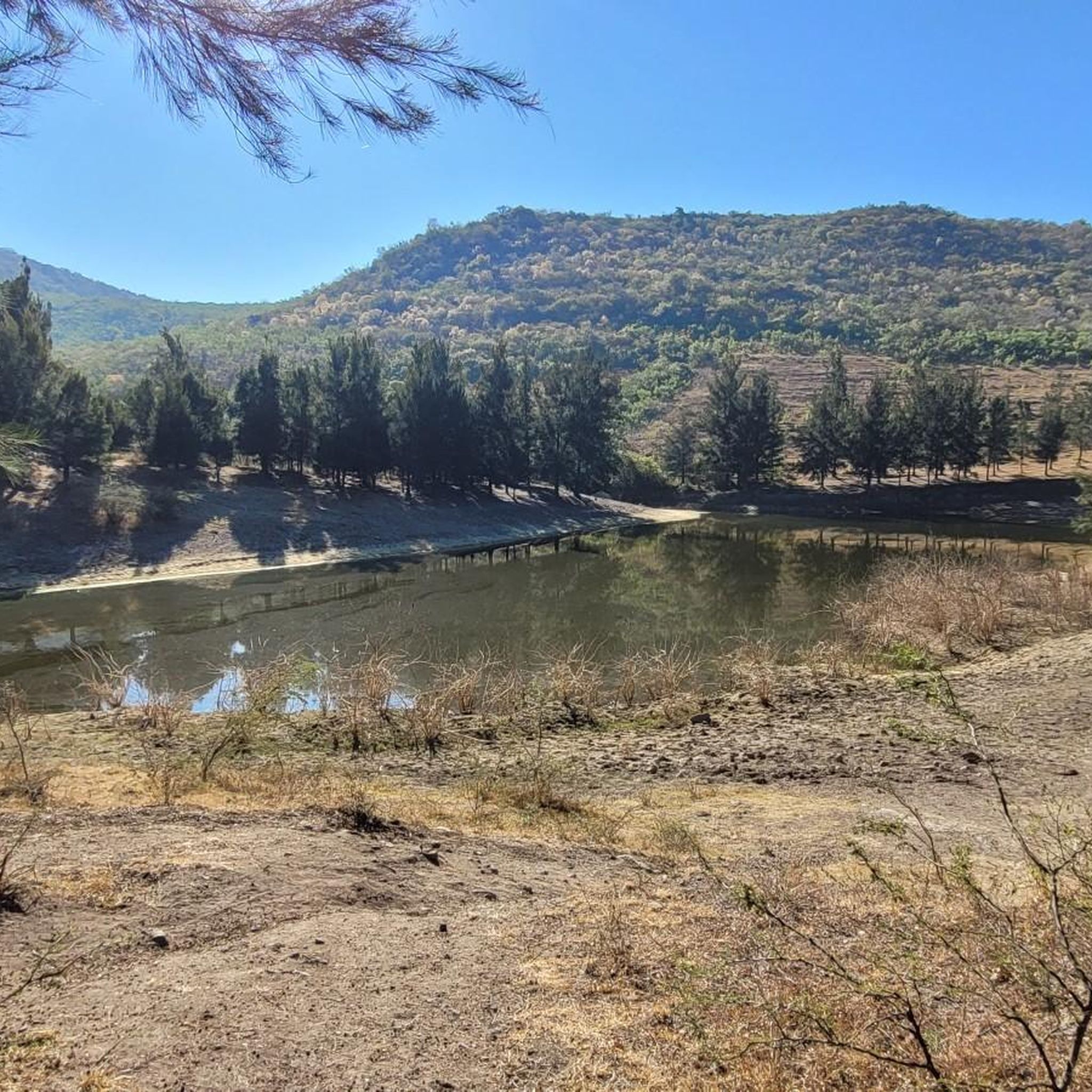
Touring cycling in Santa María Coyotepec, located in the Valles Centrales region of Oaxaca, Mexico, offers diverse landscapes for exploration. The area features a semi-dry, semi-warm climate with elevations typically between 1,500 and 1,600 meters above sea level. Cyclists can expect varied routes across hilly terrain, gentle valley slopes, and low mountains, with the Atoyac and Salado rivers contributing to the local hydrography. Agricultural landscapes and alluvial deposits characterize the fertile land, providing scenic routes.
Best touring cycling routes in…
Last updated: July 5, 2026
4.6
(10)
59
riders
25.7km
01:27
50m
50m
Easy bike ride. Great for any fitness level. Mostly paved surfaces. Suitable for all skill levels.
5.0
(2)
12
riders
48.0km
03:02
400m
400m
Moderate bike ride. Good fitness required. Mostly paved surfaces. Suitable for all skill levels.

Sign up for free
5
riders
40.9km
02:57
590m
590m
Hard bike ride. Very good fitness required. Mostly paved surfaces. Suitable for all skill levels.
4
riders
33.4km
02:25
470m
470m
Hard bike ride. Very good fitness required. Mostly paved surfaces. Suitable for all skill levels.
4
riders
19.9km
01:26
310m
310m
Moderate bike ride. Good fitness required. Mostly paved surfaces. Suitable for all skill levels.
5.0
(1)
2
riders
24.5km
01:37
260m
260m
Moderate bike ride. Good fitness required. Mostly paved surfaces. Suitable for all skill levels.
5.0
(1)
1
riders
Moderate bike ride. Good fitness required. Mostly paved surfaces. Suitable for all skill levels.
Our route recommendations are based on thousands of hikes, rides, and runs completed by other people on komoot.
Start today with a free account
Your next adventure awaits.
Login or Signup
Popular around Santa María Coyotepec


Tips from the Community


To the south, in front of the municipal palace, there is a covered parking lot for bicycles. Very safe.
0
0

beautiful Church. only 5% of gold left inside
2
0
Juices, waters, food and baths.
0
0

Temple of Santo Domingo de Guzmán in the city of Oaxaca de Juárez. There is a square with shops and restaurants, an ideal refueling point.
0
0
Coffee shop near the Plaza de Santo Domingo in the center of Oaxaca.
0
0
Shop with food and drinks
0
0
Frequently Asked Questions
How many touring cycling routes are available in Santa María Coyotepec?
There are 9 touring cycling routes available in Santa María Coyotepec, offering a variety of experiences for different skill levels.
What kind of terrain can I expect when touring cycling in Santa María Coyotepec?
Santa María Coyotepec features a diverse landscape with hilly terrain, gentle valley slopes, and low mountains. The area is characterized by a semi-dry, semi-warm climate and elevations between 1,500 and 1,600 meters above sea level. You'll encounter agricultural landscapes and routes along the Atoyac and Salado rivers.
Are there any easy touring cycling routes suitable for beginners?
Yes, there are easy routes available. For instance, the Tule Tree – Bike Lane Only loop from Oaxaca City is an easy 17.2-mile (27.6 km) trail that primarily uses a dedicated bike lane. Another easy option is the Bike Lane Only loop from Suburban Eclipce 70, which is 16.0 miles (25.8 km) long and also utilizes bike lanes.
What are some more challenging touring cycling routes in the area?
For those seeking a challenge, routes like the Plaza de la Danza – Las Nubes Recreation Center loop from Suburban Eclipce 70 offer a difficult experience over 35.3 miles (56.7 km) with significant elevation changes. Another difficult option is the Zócalo de Oaxaca – Plaza de la Danza loop from Oaxaca City, spanning 25.5 miles (41.0 km).
Are there any touring cycling routes that form a loop?
Yes, many routes in Santa María Coyotepec are designed as loops. Examples include the easy Tule Tree – Bike Lane Only loop from Oaxaca City, the moderate Gravel segment – Cañada la Cantarilla loop from Santa Lucía del Camino, and the difficult Plaza de la Danza – Las Nubes Recreation Center loop from Suburban Eclipce 70.
What cultural or historical attractions can I explore while cycling in Santa María Coyotepec?
Beyond the natural beauty, Santa María Coyotepec offers several cultural and historical points of interest. You can visit archaeological sites such as "El Mogote," "Los Mogolitos," and "Campo Lucero." The town also features a 17th-century Catholic temple and a museum of painting. Additionally, the region is known for its artisan crafts, particularly reed products in Santa María Coyotepec and black pottery in nearby San Bartolo Coyotepec.
What do other touring cyclists say about the routes in Santa María Coyotepec?
The touring cycling routes in Santa María Coyotepec are highly rated by the komoot community, with an average score of 4.8 stars from over 19 reviews. Cyclists often praise the varied terrain and the accessibility of routes, including dedicated bike lanes.
Is public transport available to access the cycling routes?
Santa María Coyotepec is approximately 10.5 kilometers from Oaxaca City, making it relatively accessible. While specific public transport options directly to trailheads are not detailed, its proximity to a major city suggests various transport links could be utilized to reach the general area.
What is the best time of year for touring cycling in Santa María Coyotepec?
Given its semi-dry, semi-warm climate, Santa María Coyotepec generally offers favorable conditions for cycling. The region's elevation between 1,500 and 1,600 meters above sea level can provide pleasant temperatures, but it's always advisable to check local weather forecasts before your ride.
Are there any routes that feature gravel segments?
Yes, for those who enjoy mixed terrain, the Gravel segment – Cañada la Cantarilla loop from Santa Lucía del Camino is a moderate 30.4-mile (49.0 km) route that includes gravel sections, offering a different kind of cycling experience.
Can I find routes that start directly from Oaxaca City?
Yes, several routes are designed to start from Oaxaca City, providing convenient access. Examples include the Tule Tree – Bike Lane Only loop from Oaxaca City and the Zócalo de Oaxaca – Plaza de la Danza loop from Oaxaca City.
Most popular routes in Santa María Coyotepec

Get inspired with the komoot mobile app


Explore more
Browse the best Cycling routes in other regions.
