The best road cycling routes around Leeswood And Pontblyddyn
4.5
(121)
4,343
riders
321
rides
Road cycling around Leeswood And Pontblyddyn offers diverse landscapes, characterized by rolling hills, wooded areas, and winding rivers. The region includes the Clwydian Range and Dee Valley National Landscape, providing varied terrain for road cyclists. Open fields and dense forests contribute to the rural setting, with rivers like the Afon Alun and River Terrig flowing through the area. This mix of features supports a range of road cycling experiences.
Best road cycling routes around Leeswood And Pontblyddyn
- The most popular road cycling route is The climbs & passes of the Clwydian Mountain Range loop, a 36.5 miles (58.7 km) trail that takes 3 hours 46 minutes to complete. This difficult route features significant elevation gains within the Clwydian Range.
- Another top favourite among local road cyclists is Dodleston Hare Sculpture – Edgar's Field Park loop from Hope (Flintshire), an easy 20.9 miles (33.6 km) path. This route offers a gentler ride through parkland and rural settings.
- Local road cyclists also love the River Dee Riverside Trail – Dee Banks Path loop from Buckley, a 29.3 miles (47.2 km) trail leading through the River Dee Riverside Trail, often completed in about 2 hours 2 minutes.
- Road cycling around Leeswood And Pontblyddyn is defined by rolling hills, wooded areas, and the Clwydian Range. The network offers options for easy, moderate, and difficult routes, catering to different ability levels.
- The routes in Leeswood And Pontblyddyn are highly rated by the komoot community with an average score of 4.5 stars from over 80 reviews. More than 3900 road cyclists have used komoot to explore Leeswood And Pontblyddyn's varied terrain.
Last updated: July 18, 2026
4.7
(3)
28
riders
58.7km
03:46
1,160m
1,160m
Hard road ride. Very good fitness required. Mostly well-paved surfaces and easy to ride.
4.3
(4)
104
riders
33.8km
01:32
230m
230m
Easy road ride. Great for any fitness level. Mostly well-paved surfaces and easy to ride.

Sign up for free
5.0
(1)
53
riders
47.2km
02:02
240m
240m
Moderate road ride. Good fitness required. Mostly well-paved surfaces and easy to ride.
34
riders
103km
05:32
1,770m
1,770m
Hard road ride. Very good fitness required. Some segments of this route may be unpaved and difficult to ride.
49
riders
61.7km
02:27
250m
250m
Moderate road ride. Good fitness required. Mostly well-paved surfaces and easy to ride.
Get access to more routes and recommendations from other explorers.
Sign up for free
Already have an account?
Our route recommendations are based on thousands of hikes, rides, and runs completed by other people on komoot.
Start today with a free account
Your next adventure awaits.
Login or Signup
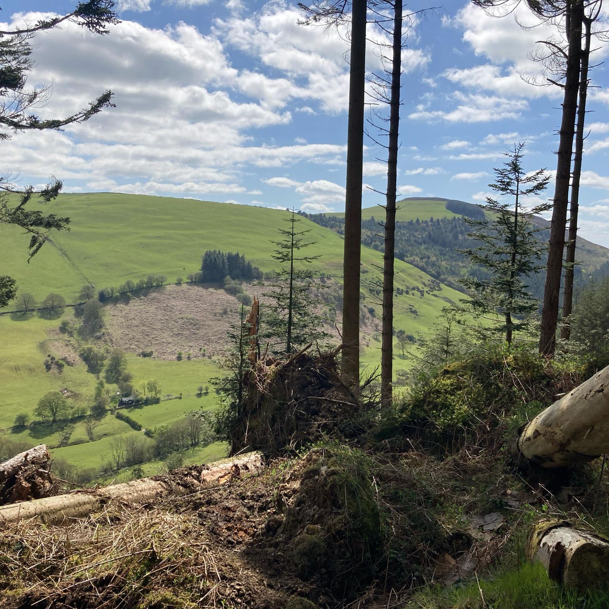
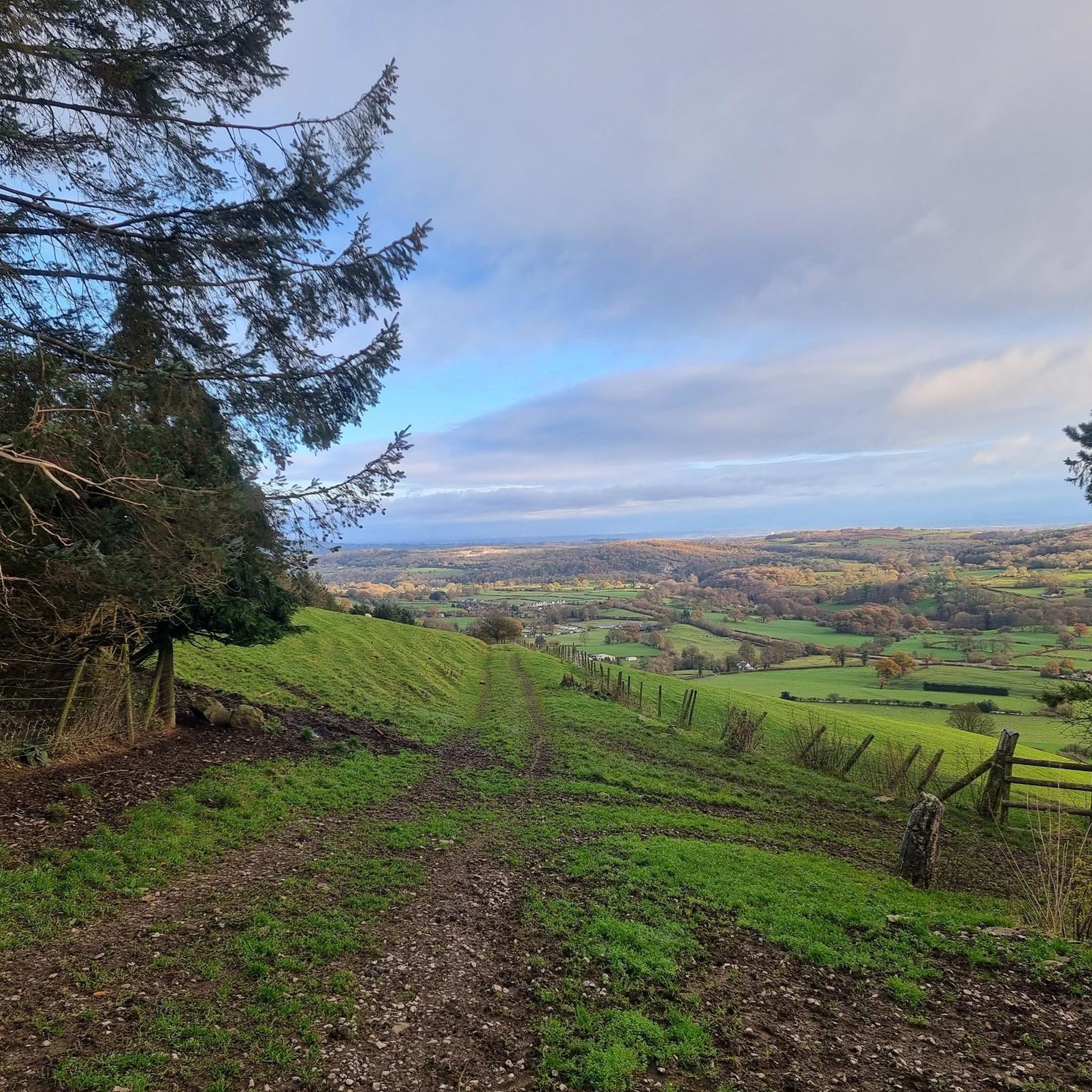
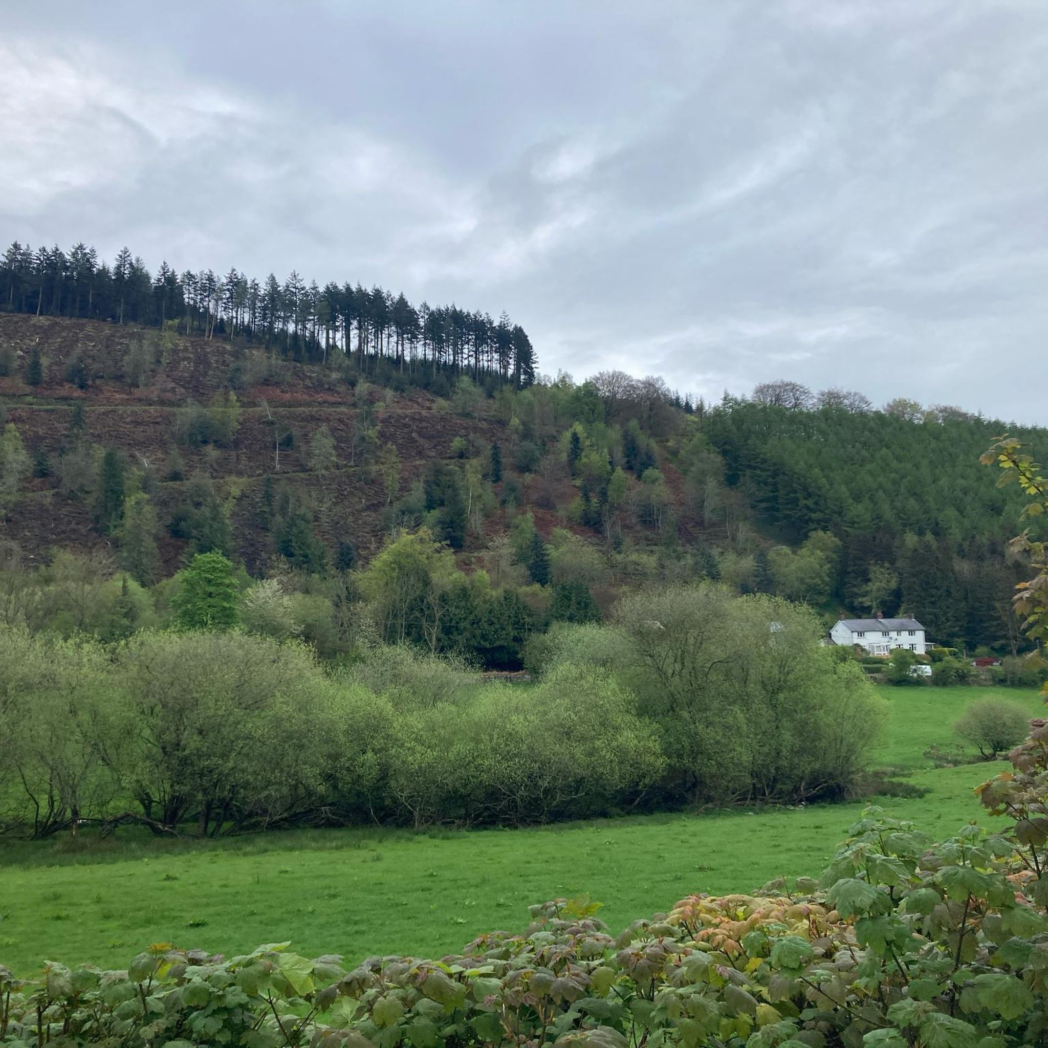
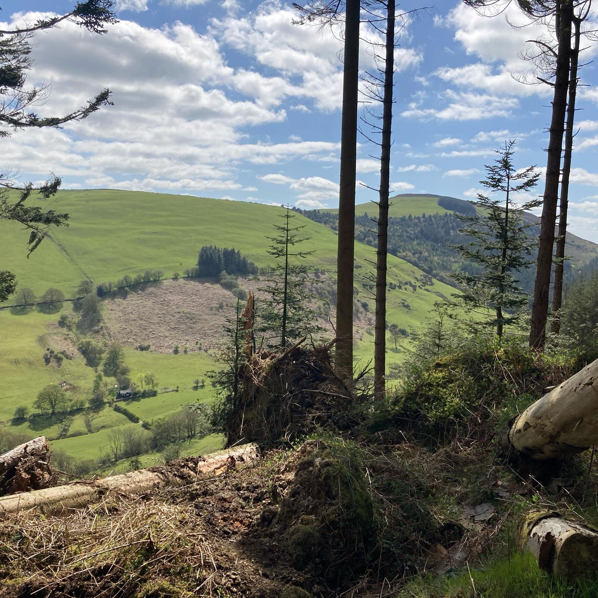

Tips from the Community


Best way in to Ruthin from Chester.
0
0

A lovely market town with pubs and shops and bakeries. Hilly routes into town but a number of good places for a stop mid ride.
0
0

The giant hare sculpture, in a wild meadow on Rough Hill roundabout, is intended to represent wildlife in rural and urban spaces,wild meadow species and biodiversity. Created by Forest City Projects CIC,and completed in March 2021
0
0

Uhmm - photo of Garden City's Welsh Road 'blue bridge' is NOT Saltney Ferry footbridge!! The Ferry is four miles upstream, towards Chester!
1
0


The Moel Arthur climb from the Hendre side is a legendary North Wales brute: short but savagely steep. Prepare for an immediate, intense assault on an extremely narrow lane, averaging a punishing 10-13% but hitting vicious ramps, particularly on bends, well over 20% and reportedly reaching towards 25%. Reaching the exposed summit pass by the ancient Moel Arthur hill fort brings immense relief after conquering this notorious Clwydian Range wall.
0
0
Frequently Asked Questions
How many road cycling routes are available around Leeswood And Pontblyddyn?
There are over 360 road cycling routes in the Leeswood And Pontblyddyn area, catering to various skill levels. This includes approximately 96 easy routes, 202 moderate routes, and 63 difficult routes, ensuring options for every cyclist.
What kind of terrain can I expect when road cycling in Leeswood And Pontblyddyn?
The region offers diverse terrain, characterized by rolling hills, wooded areas, and winding rivers. You'll encounter open fields and dense forests, with rivers like the Afon Alun and River Terrig meandering through. A significant portion of the area is within the Clwydian Range and Dee Valley National Landscape, providing both challenging climbs and more leisurely sections.
Are there road cycling routes suitable for beginners or families?
Yes, the area is well-suited for beginners and families, with many quiet lanes and established cycle routes. The Dodleston Hare Sculpture – Edgar's Field Park loop from Hope (Flintshire) is an easy 20.9-mile path offering a gentler ride through parkland. The National Cycle Network Route 5 (NCN 5) also provides gentle, flat sections, including an eight-mile traffic-free path between Chester and Connah's Quay. The Chester Millennium Greenway is another excellent traffic-free option.
Where can I find challenging road cycling routes in the area?
For experienced cyclists seeking a challenge, the Clwydian Range offers significant elevation gains. Consider The climbs & passes of the Clwydian Mountain Range loop, a difficult 36.5-mile route with over 1100 meters of ascent. Another demanding option is the View of the Countryside – Moel Arthur Climb loop from Buckley, which covers over 100 km with nearly 1800 meters of climbing.
What are some notable landmarks or viewpoints I can see along the road cycling routes?
Many routes offer scenic viewpoints and historical landmarks. You can enjoy spectacular views across the Vale of Clwyd to Snowdonia from elevated points within the Clwydian Range, such as Jubilee Tower on Moel Famau. Other points of interest include the Moel Gyw Summit and the scenic River Dee Riverside Trail.
Are there any circular road cycling routes around Leeswood And Pontblyddyn?
Yes, many routes in the area are designed as loops, allowing you to start and finish in the same location. Examples include The climbs & passes of the Clwydian Mountain Range loop and the River Dee Riverside Trail – Dee Banks Path loop from Buckley. These circular routes provide convenient options for exploration.
What do other road cyclists enjoy most about the routes in Leeswood And Pontblyddyn?
The area is highly rated by the komoot community, with an average score of 4.5 stars from over 80 reviews. Cyclists often praise the diverse landscapes, from rolling hills to quiet woodlands, and the variety of routes catering to different abilities. The scenic views, especially from the Clwydian Range, are frequently highlighted as a major draw.
Is public transport available to access road cycling routes in the region?
While specific public transport links directly to every route start point may vary, the region benefits from being accessible. For detailed information on local bus services that might connect to various cycling areas, it's advisable to check the Flintshire County Council's transport information at flintshire.gov.uk.
Are there any traffic-free sections for road cycling?
Yes, the region offers several traffic-free sections ideal for a more relaxed ride. The National Cycle Network Route 5 (NCN 5) includes an eight-mile traffic-free path between Chester and Connah's Quay. Additionally, the Chester Millennium Greenway, an old railway line, provides a short, flat, and traffic-free option. The River Dee Riverside Trail also offers traffic-free paths in sections.
What is the best time of year for road cycling in Leeswood And Pontblyddyn?
The region is enjoyable for road cycling throughout much of the year. Spring and autumn offer pleasant temperatures and beautiful scenery with changing foliage. Summer provides longer daylight hours. While winter cycling is possible, be prepared for potentially colder, wetter conditions, especially in higher elevations like the Clwydian Range.
Are there any cafes or pubs along the road cycling routes for a break?
While specific cafes and pubs directly on every route are not listed, the towns and villages within and surrounding Leeswood And Pontblyddyn, such as Buckley, offer various amenities. For example, the route Maggie's Cafe – Meggie's Cafe loop from Buckley suggests there are refreshment stops available in the area.
Can I combine road cycling with other activities or attractions?
Absolutely. The area's rich history and natural beauty allow for combining cycling with other explorations. You could visit historical sites like Caergwrle Castle Ruins or Plas Teg House, a Jacobean Grade I listed building. The proximity to the Clwydian Range and Dee Valley National Landscape also means opportunities for hiking and enjoying the natural environment are abundant.
Most popular routes around Leeswood And Pontblyddyn
Most popular attractions around Leeswood And Pontblyddyn

Get inspired with the komoot mobile app


Explore more
Browse the best Road cycling routes in other regions.
