The 13 Most Amazing Peaks around Abersychan
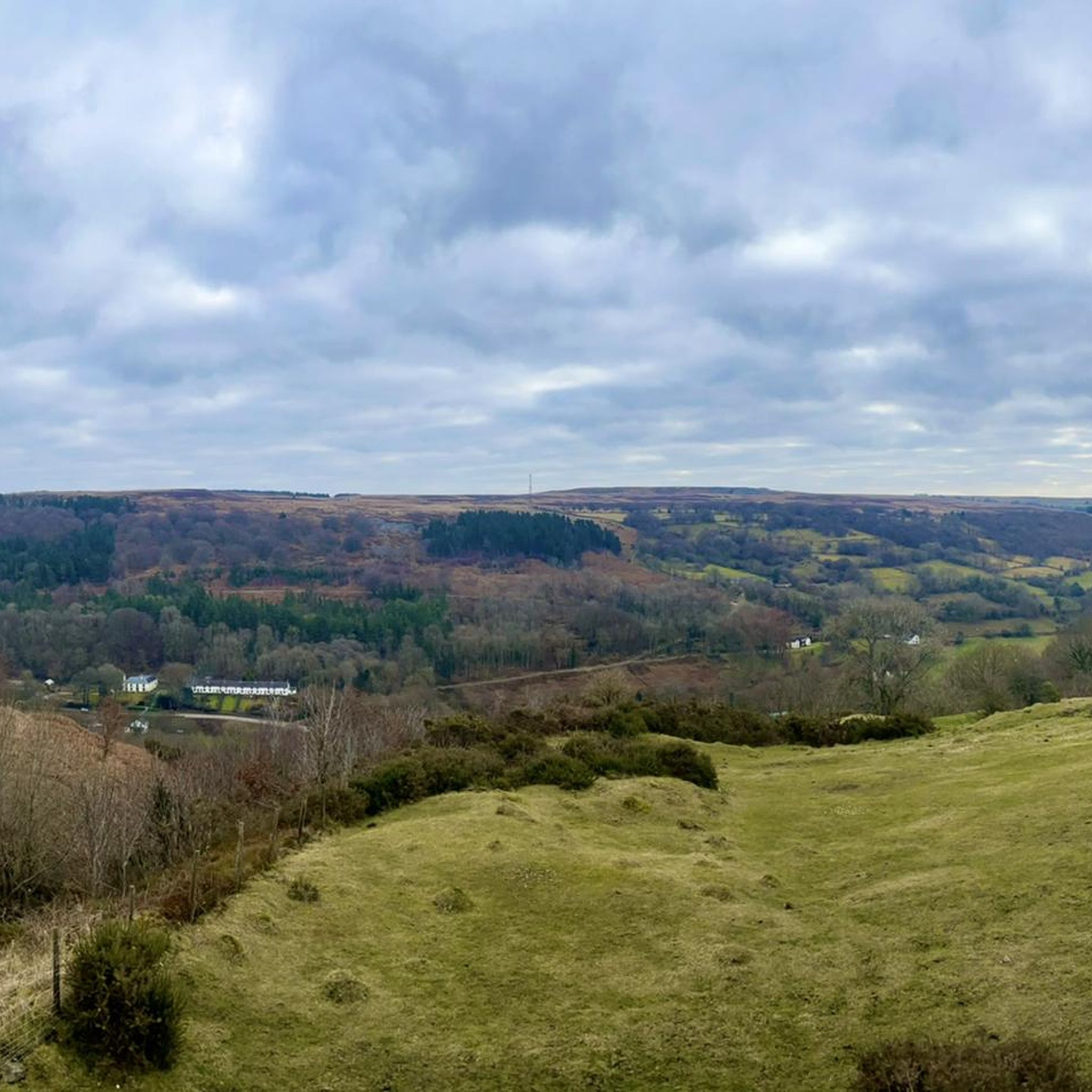
Best mountain peaks around Abersychan are found in a landscape characterized by hills and summits within the Afon Lwyd valley. This area offers elevations that provide views, historical significance, and recreational opportunities. The region features a variety of natural and historical landmarks, making it suitable for outdoor exploration. These prominent features contribute to the local topography and offer diverse experiences for visitors.
Best mountain peaks around Abersychan
- The most popular mountain peaks is Blorenge summit, a natural monument that…
Last updated: July 3, 2026
Blorenge summit
Highlight • Natural Monument
Tip by

Twmbarlwm Hill and Iron Age hillfort
Highlight • Historical Site
Tip by
Sign up now to discover places like this
Get recommendations on the best single tracks, peaks, & plenty of other exciting outdoor places.
Sign up for free
Sugarloaf Summit on the Cambrian Way
Highlight (Segment) • Trail
Tip by

Trig point at Mynydd Twyn-glas summit
Highlight • Natural Monument
Tip by
Y Domen Fawr Summit
Highlight • Viewpoint
Welsh Dewey and Dodd summit
Tip by

Sign up for free to discover even more peaks around Abersychan.
Sign up for free
Already have an account?
Start today with a free account
Your next adventure awaits.
Login or Signup
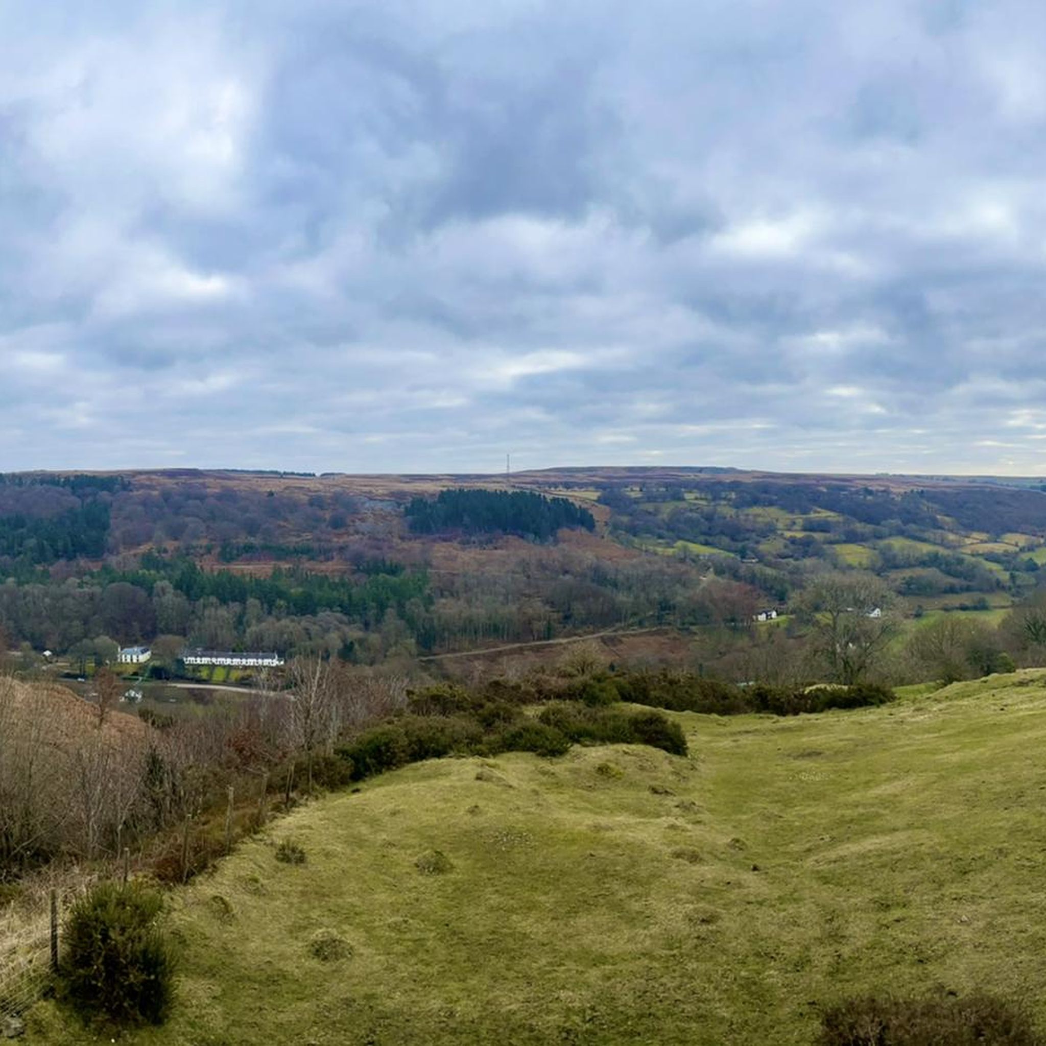
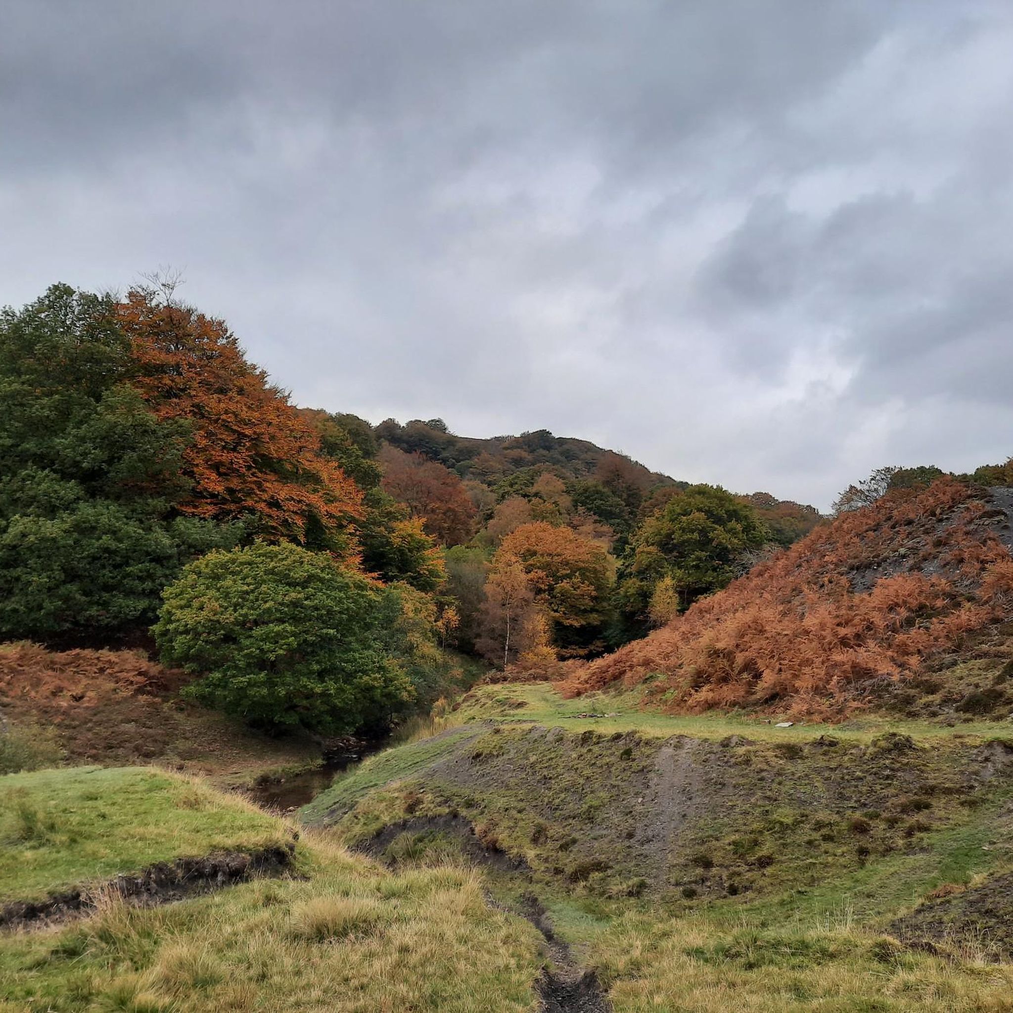

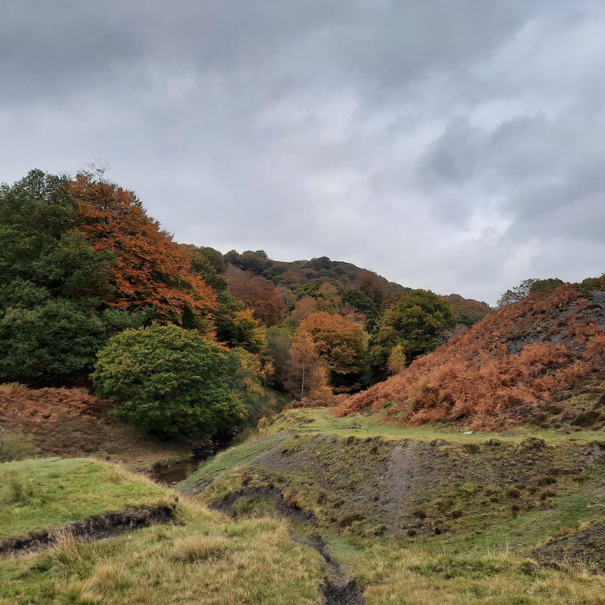
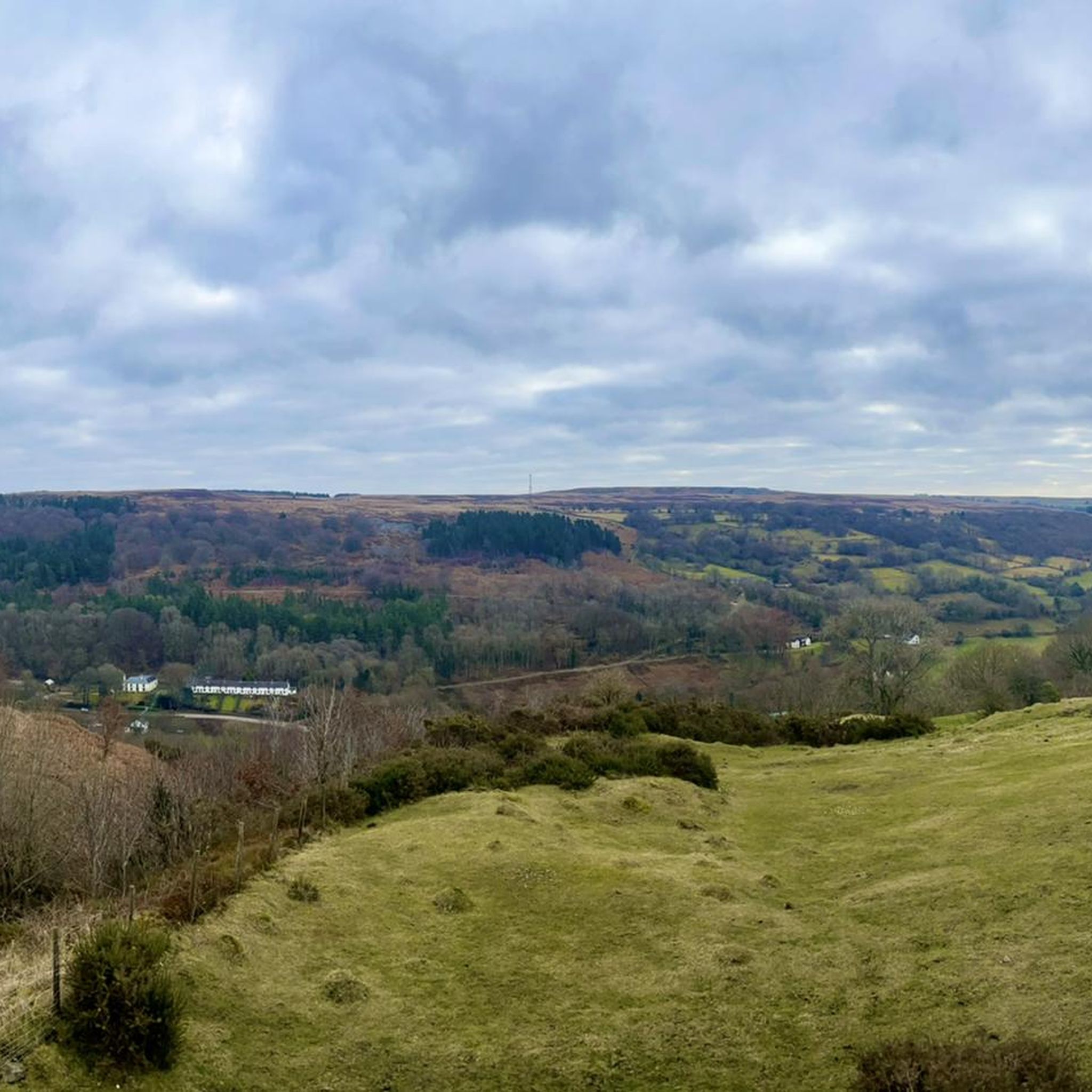
Tips from the Community

Twmbarlwm is a prominent hill and archaeological site located near the town of Cwmcarn in South Wales. It is part of the Caerphilly County Borough and is known for both its natural beauty and historical significance. Here are some key points about Twmbarlwm: Key Features: Hillfort: Twmbarlwm is home to the remains of an ancient hillfort, dating back to the Iron Age. The fortifications, which include earthworks and ramparts, suggest it was a significant settlement during that period. Celtic Connections: The name "Twmbarlwm" is thought to derive from Welsh, with "Twm" being a diminutive of "Tudur" and "barlwm" referring to a mound or hill. The site is associated with Celtic history and mythology. Natural Beauty: The hill offers stunning views of the surrounding landscape, including the nearby valleys and mountains. It is a popular destination for walkers, hikers, and outdoor enthusiasts. Archaeological Significance: Twmbarlwm has been the subject of various archaeological studies, which have revealed insights into ancient settlement patterns, defensive strategies, and daily life in prehistoric Wales. Access: The hill is accessible via footpaths, making it a popular spot for local residents and visitors. There are several trails that lead to the summit, offering a rewarding hike. Cultural Heritage: The site is connected to local folklore and legends, contributing to its cultural significance in the region. Visiting: If you plan to visit Twmbarlwm, it’s a good idea to check local resources or hiking guides for specific trails and information about the area. The site is a great way to experience the natural beauty and historical richness of South Wales.
1
0

The Cambrian Way is an iconic long-distance footpath that runs 298 miles (480 km) from Cardiff in the south to Conwy in the north. That distance comes with a challenging 22,500m (73,700ft) of height gain. This tough trail passes through some of the most spectacular and beautiful scenery in Wales. It can also be very remote, and in the north you will hit rugged terrain that will include high ridges and challenging mountains. You can do it in more attainable one-day sections, or you can be a purist and do it in a gruelling, continuous three-week hiking odyssey. Here on the southern flanks of the Sugarloaf, the terrain might be more sedate, but it is as equally as beautiful. The hike up from Abergavenny on this Cambrian Way section has good views of the Sugarloaf in front, across to the Blorenge in the south, and Skirrid Mawr to the east. Not for nothing was the Sugarloaf included in the Trail magazine’s Top 100 Britain's Greatest Mountains list.
1
0
Our Ronnie beat me to it. For any readers information, Ronnie is a phenomenal peak bagger, and is literally hiking everything in the UK that has an uphill slope. I will join him on the rounds of all the 100m prominent peaks of the UK. Y Domen Fawr is one of those peaks. Note: Y Domen Fawr, literally means a big heap or mound.
1
0

Newly Dragonised by myself 🙌 Blorenge,[2] also called The Blorenge is a prominent hill overlooking the valley of the River Usk near Abergavenny, Monmouthshire, southeast Wales. It is situated in the southeastern corner of the Brecon Beacons National Park. The summit plateau reaches a height of 561 m
1
0

Y Domen Fawr 504m P135 (1653ft) Welsh Dewey and Dodd summit
1
0

A small summit above Risca. Known locally as the "Twmp" (the hump), the pimple or the nipple, due to the shape of the mound on the summit.
1
0

Perfect for trail running. Watch of for the wild horses. Amazing views over Abergavenny
0
0

Pretty easy hike up, sadly was a cloudy day when I went so missed the views. No steep ledges and not too high at all, so good if it is windy.
1
0
Frequently Asked Questions
What are some of the most popular mountain peaks to visit near Abersychan?
Near Abersychan, you'll find several popular elevations offering unique experiences. Blorenge summit is highly regarded for its panoramic views over Abergavenny and the Usk Valley. Another favorite is Twmbarlwm Hill and Iron Age hillfort, known for its historical significance and views across the Severn Estuary. Further afield, Sugarloaf Summit on the Cambrian Way is a well-known conical peak offering rewarding 360-degree views.
Are there any historical sites or landmarks on these peaks?
Yes, several peaks near Abersychan boast significant historical features. Twmbarlwm Hill is crowned by a distinctive Iron Age hillfort, providing a glimpse into ancient history. On Blorenge summit, you can find the remains of a tramway built around 1796, which once linked a limestone quarry with the ironworks at Blaenavon.
What kind of views can I expect from the summits around Abersychan?
The summits around Abersychan offer diverse and expansive views. From Blorenge summit, you can enjoy fine views over Abergavenny and the Usk Valley, potentially spotting castle ruins. Twmbarlwm Hill provides wonderful views across what is now the M4 corridor, over Newport and Cwmbran, and out over the Bristol Channel. Sugarloaf Summit offers rewarding 360-degree views from its conical peak.
Are there family-friendly walking options on the peaks near Abersychan?
While some peaks involve intermediate climbs, many areas around Abersychan offer family-friendly walking options. For easier walks, consider exploring the lower slopes or incorporating sections of trails that are less strenuous. The region's hills and summits often have diverse routes suitable for various fitness levels, and you can find specific easy hikes in the area by checking the Easy hikes around Abersychan guide.
What outdoor activities can I do near these mountain peaks?
Beyond hiking, the area around Abersychan's peaks offers a range of outdoor activities. You can explore numerous mountain biking trails, with options like the 'Keeper's Pond and Blorenge Mountain loop' detailed in the MTB Trails around Abersychan guide. Cycling is also popular, with routes such as the 'Monmouth and Brecon Canal loop' available in the Cycling around Abersychan guide.
What is the terrain like on Mynydd Twyn-glas?
Mynydd Twyn-glas is characterized as a sprawling 472-metre-high mountain, taking the form of a rolling plateau. Its margins are defined by steep slopes, many of which are covered with conifer plantations. A broad shoulder extends south from the summit, known as Mynydd Maen, while Mynydd Llwyd lies to the north. The area offers an excellent vantage point for appreciating the local scenery.
Are there any long-distance hiking trails that pass through the Abersychan area?
Yes, the renowned Cambrian Way, an iconic long-distance footpath stretching 298 miles (480 km) from Cardiff to Conwy, passes through the broader region accessible from Abersychan. A section of this challenging trail includes Sugarloaf Summit, offering spectacular scenery and views of the Sugarloaf, Blorenge, and Skirrid Mawr.
Where can I find parking for trails near Abersychan peaks?
While specific parking details for every trailhead are not provided, many popular hiking areas around Abersychan, including those leading to prominent peaks, typically have designated parking. For example, the area around Blorenge has the Foxhunter car park. It's advisable to check local information or trail guides for specific parking locations before your visit.
What is the elevation of Y Domen Fawr?
Y Domen Fawr Summit reaches an elevation of 504 meters (1653 feet). It is recognized as a Welsh Dewey and Dodd summit, and its name literally translates to 'a big heap or mound'.
Can I bring my dog on the trails around Abersychan's peaks?
Many trails in the Abersychan area are dog-friendly, allowing you to enjoy the outdoors with your canine companion. However, it's always recommended to keep dogs on a lead, especially in areas with livestock or near protected wildlife. Always check local signage for any specific restrictions or requirements on individual trails.
What is the best time of year to visit the mountain peaks near Abersychan?
The best time to visit the mountain peaks near Abersychan largely depends on your preferred activity and weather tolerance. Spring and autumn offer pleasant temperatures and beautiful scenery, with vibrant foliage in autumn. Summer provides longer daylight hours, ideal for extended hikes. Winter can be challenging due to colder temperatures and potentially icy conditions, but it can also offer stark, beautiful landscapes for experienced hikers.
Are there any easy hiking routes available for beginners?
Yes, for beginners or those looking for less strenuous walks, there are several easy hiking routes around Abersychan. These often incorporate gentler slopes and well-maintained paths. You can find a selection of suitable routes, such as the 'Singing Birds Coffee Shop – Goytre Wharf loop', by consulting the Easy hikes around Abersychan guide.
What are Mynydd Garn-Wen and Mynydd Garnclochdy known for?
Mynydd Garn-Wen and Mynydd Garnclochdy are notable for their ridge walks and the presence of a World War II air crash memorial on Mynydd Garnclochdy. Exploring these hills offers a combination of natural beauty and a poignant historical element, often incorporated into loop walks starting from Abersychan.
Most popular attractions around Abersychan

Get inspired with the komoot mobile app


Explore more
See even more amazing summits around Abersychan with these guides:
