The best walks and hikes around Cwm Cadnant
4.5
(1092)
11,795
hikers
331
hikes
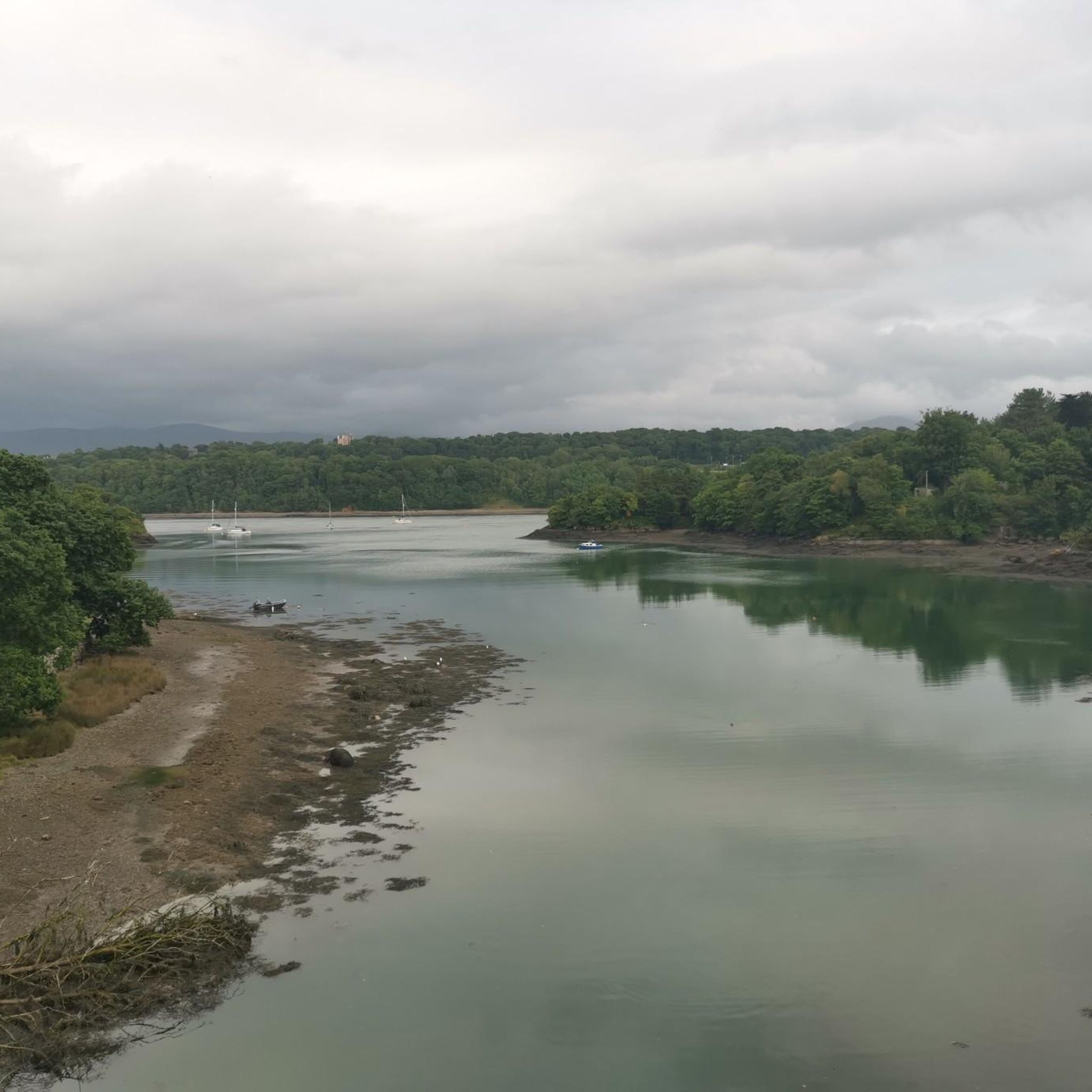
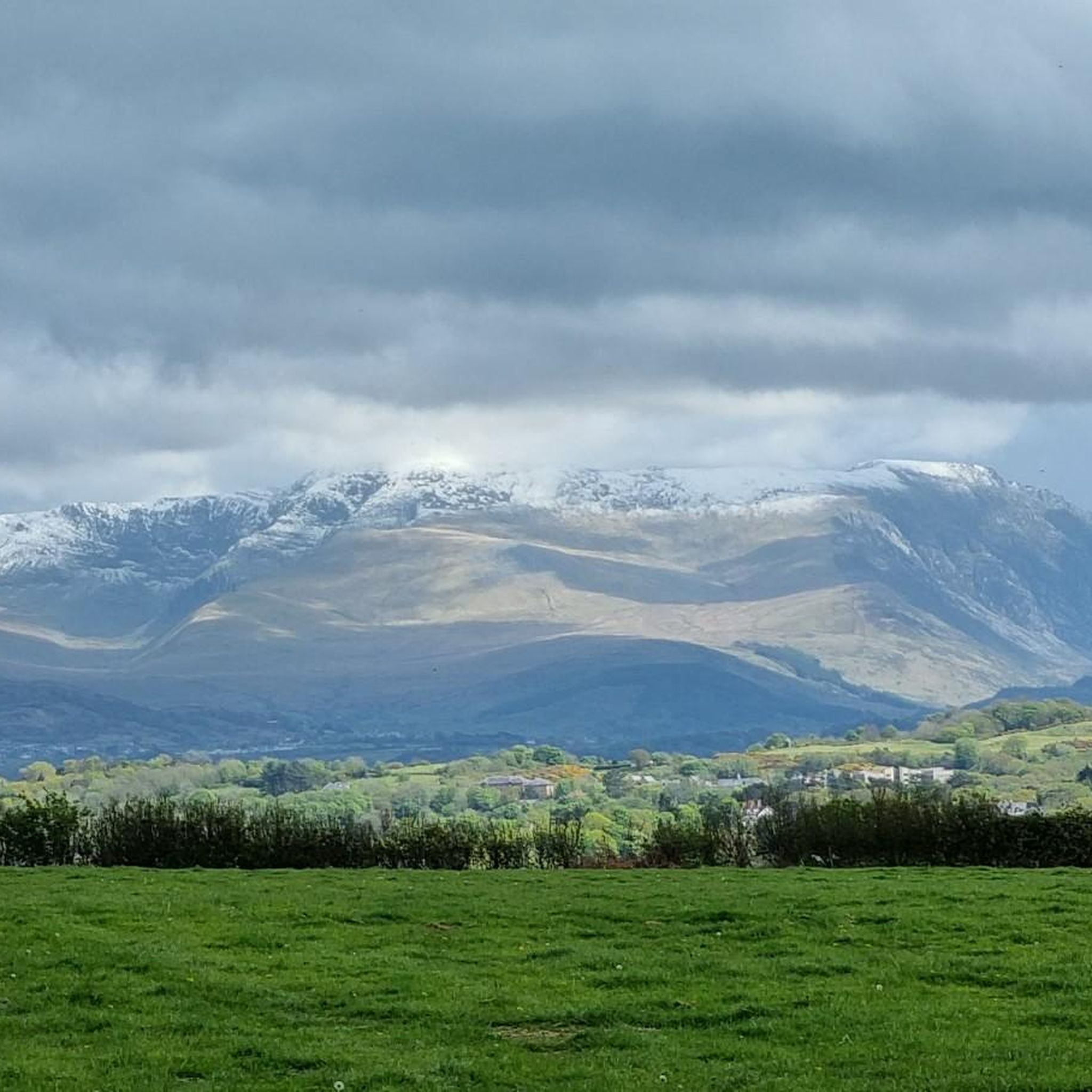
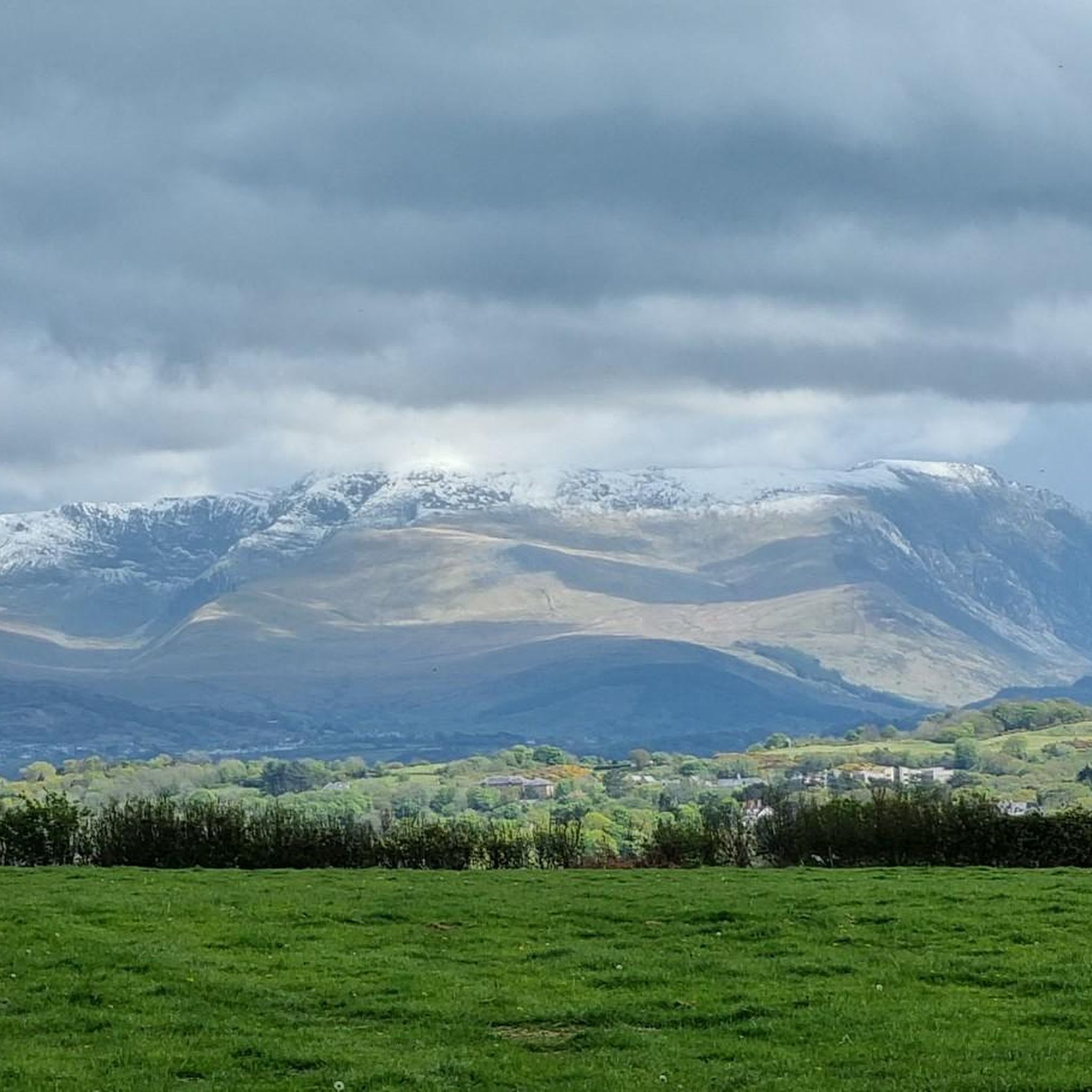
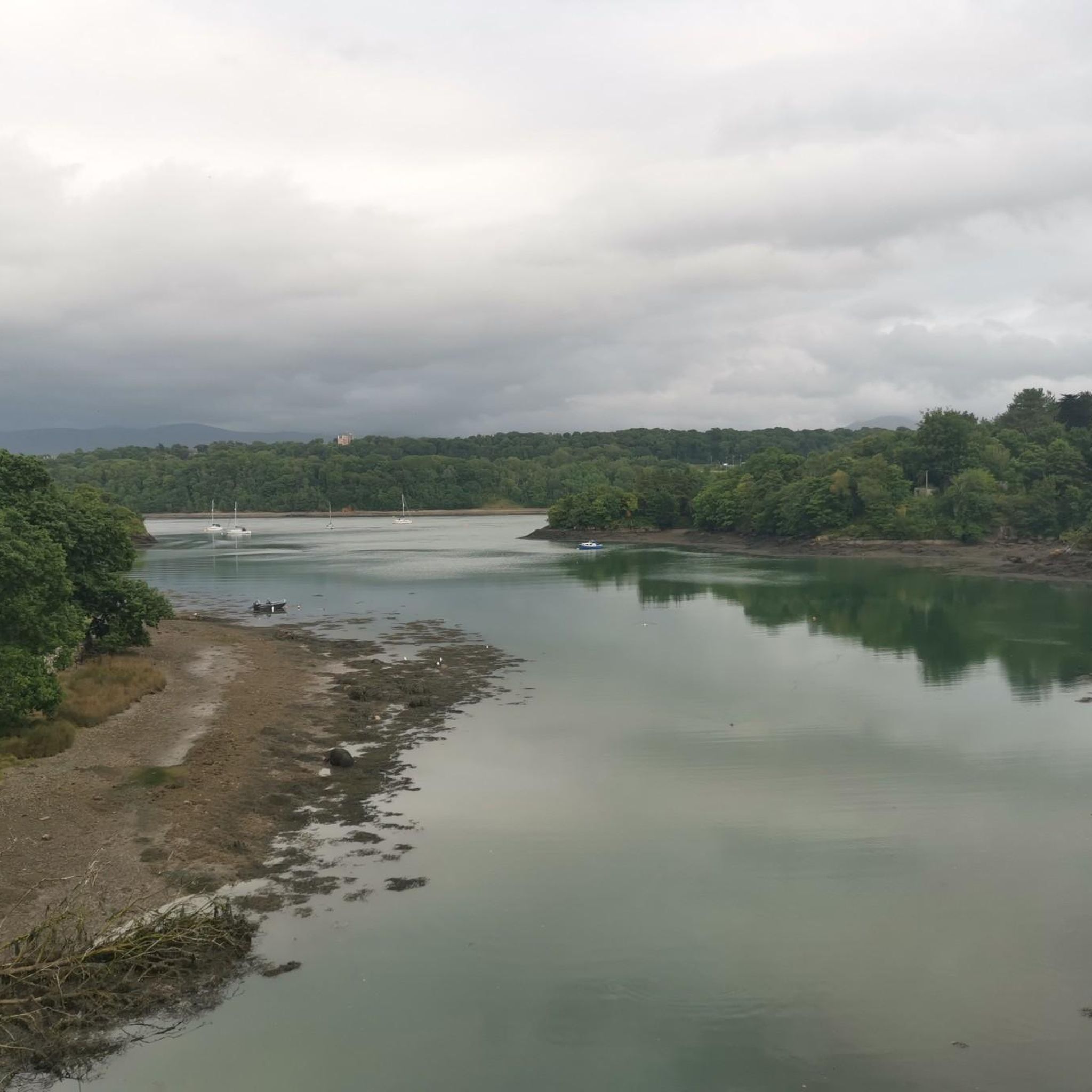
Hiking around Cwm Cadnant offers a network of trails primarily situated along the Menai Strait, connecting towns like Menai Bridge and Bangor. The terrain is generally low-lying with gentle elevation changes, characteristic of coastal and riverside paths. Routes often feature views of the water and iconic bridges, providing accessible walking experiences. The area is defined by its proximity to the coast and the historical infrastructure spanning the strait.
Best hiking trails around Cwm Cadnant
- The most popular hiking route is…
Last updated: August 18, 2026
5.0
(2)
42
hikers
Easy hike. Great for any fitness level. Easily-accessible paths. Suitable for all skill levels.
34
hikers
1.32km
00:21
10m
10m
Easy hike. Great for any fitness level. Easily-accessible paths. Suitable for all skill levels.

Sign up for free
3.8
(6)
31
hikers
17.2km
04:45
280m
290m
Moderate hike. Good fitness required. Easily-accessible paths. Suitable for all skill levels.
32
hikers
Moderate hike. Good fitness required. Easily-accessible paths. Suitable for all skill levels.
5.0
(1)
15
hikers
7.49km
02:14
220m
220m
Moderate hike. Good fitness required. Easily-accessible paths. Suitable for all skill levels.
Get access to more routes and recommendations from other explorers.
Sign up for free
Already have an account?
Our route recommendations are based on thousands of hikes, rides, and runs completed by other people on komoot.
Start today with a free account
Your next adventure awaits.
Login or Signup
Tips from the Community

There was once a proposal to extend the pier into a pedestrian and cycle bridge, as a third crossing of the Menai Strait (which separates Anglessey from the Welsh mainland), but the plan was abandoned as unrealistic.
1
0
Bangor Pier or Garth Pier (Welsh: Pier y Garth), at 460 meters long, is the second-longest pier in Wales after Llandudno (700 meters) and the ninth-longest in the British Isles. The pier was officially opened to the public on May 14, 1896, by Baron George Douglas-Pennant, resident of Penrhyn Castle and owner of the largest slate quarries in Snowdownia. The pier served as a landing stage for pleasure boats to Blackpool, Liverpool, and Douglas (on the Isle of Man). In 1971, the pier was closed for safety reasons, and in 1974 ownership was transferred to Arfon Town Council. The council immediately decided to demolish the pier, but Bangor Town Council objected, and the structure was granted protected status. The pier was purchased in 1975 for a symbolic price of 1 pence, and renovation work began in 1982. The pier reopened on May 7, 1988. During new restoration work that began in 2017, the pier had to be closed for safety reasons for a period (from June 2018 to March 2021). Source: Wikipedia
1
0

Sensational views from the bridge with a safe shared cycle/footpath over.
0
0

The unfinished castle at Beaumaris is such an interesting place to visit
2
0

During the First World War, refugees from German-occupied Mechelen (or Malines) in Belgium were accommodated in Menai Bridge. In gratitude for the town’s hospitality, they built this promenade along the Menai Strait from Ynys Tysilio (Church Island) to Carreg yr Halen, completing it in 1916. It was rebuilt in 1963. The ceremonial reopening in 1965 was performed by the only surviving refugee, Eduard Wilhelms. The promenade was resurfaced in 2000 as part of a millennium project.
3
0

The best location for a view of the imposing and impressive bridge.
0
0
The old suspension bridge is definitely the more scenic way to enter Anglesey than the main bridge that carries the A55.
0
0

The pier was designed by Frederick Foster and opened in 1846. It was originally constructed of timber piles and iron girders but was rebuilt in 1872 following storm damage. In 1895 further work extended the pier to 570 feet. A pavilion was erected in the late 19th century and the pier was used by steamships for many years. After World War II some structural damage occurred and with the decline of passenger services to Liverpool it was decided to demolish the unsafe T-head structure. Beaumaris Town Council restored the pier in the 1960s at a cost of £15,000 and in 1974 it became the property of the Isle of Anglesey Parish Council. The landward end is in stone and includes a gift kiosk. At the seaward end there is seating, a shelter and fishing facilities. Visitors can take a ferry to Puffin Island, cruise down the Menai Strait or try deep sea fishing from three multi-purpose fishing/pleasure cruise boats that operate from the pier. Over the past few decades, the pier has been renovated and maintained many times and is now in good condition.
2
0
Frequently Asked Questions
How many hiking trails are there in Cwm Cadnant?
Cwm Cadnant offers a wide selection of hiking routes, with over 300 trails available. These range from easy strolls to more challenging hikes, catering to various fitness levels.
Are there easy hiking trails in Cwm Cadnant suitable for beginners or families?
Yes, Cwm Cadnant is very welcoming for beginners and families. There are nearly 180 easy trails, many of which are gentle coastal paths with minimal elevation. For example, the View of the Menai Strait – Bangor Pier loop from Bangor is an easy 0.8-mile path offering scenic views.
What is the typical length of hiking routes in Cwm Cadnant?
Hiking routes in Cwm Cadnant vary significantly in length. You can find short, easy walks like the & Caws Cheesemonger – Menai Suspension Bridge loop from Menai Bridge at just under 2 miles, or longer, more moderate trails such as the Menai Suspension Bridge – Red Boat Ice Cream Café loop from Bangor, which is about 10.4 miles.
Can I bring my dog on hikes in Cwm Cadnant?
Many of the coastal paths and trails in Cwm Cadnant are dog-friendly. However, it's always recommended to keep dogs on a lead, especially near livestock, wildlife, or busy areas, and to check for any specific local restrictions along your chosen route.
Are there circular hiking routes available in Cwm Cadnant?
Yes, many of the trails in Cwm Cadnant are designed as circular routes, allowing you to start and end in the same location. This is particularly convenient for those using parking facilities. Examples include the Britannia Bridge Lions – Menai Suspension Bridge loop from Menai Bridge.
What is the best season for hiking in Cwm Cadnant?
Cwm Cadnant's coastal location makes it enjoyable for hiking throughout much of the year. Spring and autumn offer pleasant temperatures and beautiful scenery, while summer is ideal for longer days and exploring the coastline. Even winter can be suitable for walks, with crisp air and fewer crowds, though some paths might be muddy.
Are there any interesting landmarks or natural attractions to see along the trails?
Absolutely! The trails often feature views of the iconic Menai Suspension Bridge and Britannia Bridge. You can also find natural attractions nearby such as Aber Falls, a stunning waterfall, or explore the ancient Bryn Celli Ddu burial chamber. The Dingle Local Nature Reserve also offers a beautiful natural setting.
What do other hikers enjoy the most about hiking in Cwm Cadnant?
The area is highly rated by the komoot community, with an average score of 4.6 stars from over 800 reviews. Hikers often praise the stunning views of the Menai Strait, the accessibility of the coastal paths, and the blend of natural beauty with historical landmarks like the bridges.
Are there cafes or pubs near the hiking trails in Cwm Cadnant?
Yes, the towns connected by the trails, such as Menai Bridge, Bangor, and Beaumaris, offer various options for refreshments. You'll find cafes, pubs, and restaurants where you can refuel before or after your hike, many with views of the water.
Is parking available for walks in Cwm Cadnant?
Parking is generally available in the towns and villages along the Menai Strait, such as Menai Bridge and Bangor, which serve as common starting points for many trails. It's advisable to check local signage for parking restrictions and fees.
Are there any viewpoints along the hiking routes in Cwm Cadnant?
Many trails in Cwm Cadnant offer excellent viewpoints, particularly those along the Menai Strait. You can enjoy panoramic vistas of the water, the bridges, and the surrounding landscape. Highlights like Red Wharf Bay and the View of Menai Strait, Anglesey, and Puffin Island from Ffridd Ddu are popular for their scenic outlooks.
What kind of terrain can I expect on the hiking trails in Cwm Cadnant?
The terrain in Cwm Cadnant is generally low-lying with gentle elevation changes, characteristic of coastal and riverside paths. You can expect a mix of paved sections, well-maintained footpaths, and some natural trails, often providing firm ground suitable for most walkers.
Most popular routes around Cwm Cadnant
Most popular attractions around Cwm Cadnant

Get inspired with the komoot mobile app


Explore more
Browse the best Hikes in other regions.
