The 9 Most Amazing Peaks around Pen-Y-Bont-Fawr
Best mountain peaks around Pen-Y-Bont-Fawr are located in the Tanat Valley, Powys, Wales. This village provides access to the surrounding Berwyn Mountains, which feature rolling upland landscapes and dramatic river valleys. The region offers a network of trails catering to various fitness levels, from gentle walks to challenging mountain ascents.
Best mountain peaks around Pen-Y-Bont-Fawr
- The most popular mountain peaks is Cadair Berwyn Summit, a viewpoint that is the highest point in the Berwyn Hills at 827 meters. It…
Last updated: July 3, 2026
Cadair Berwyn Summit
Highlight • Viewpoint
Tip by

Cadair Bronwen Summit Cairn
Highlight • Natural Monument
Tip by

Sign up now to discover places like this
Get recommendations on the best single tracks, peaks, & plenty of other exciting outdoor places.
Sign up for free
Moel Sych Summit Cairn
Highlight • Viewpoint
Tip by

Gyrn Moelfre Summit
Highlight • Viewpoint
Tip by
Foel y Geifr Summit (626 m)
Highlight • Natural Monument
Tip by
Sign up for free to discover even more peaks around Pen-Y-Bont-Fawr.
Sign up for free
Already have an account?
Start today with a free account
Your next adventure awaits.
Login or Signup
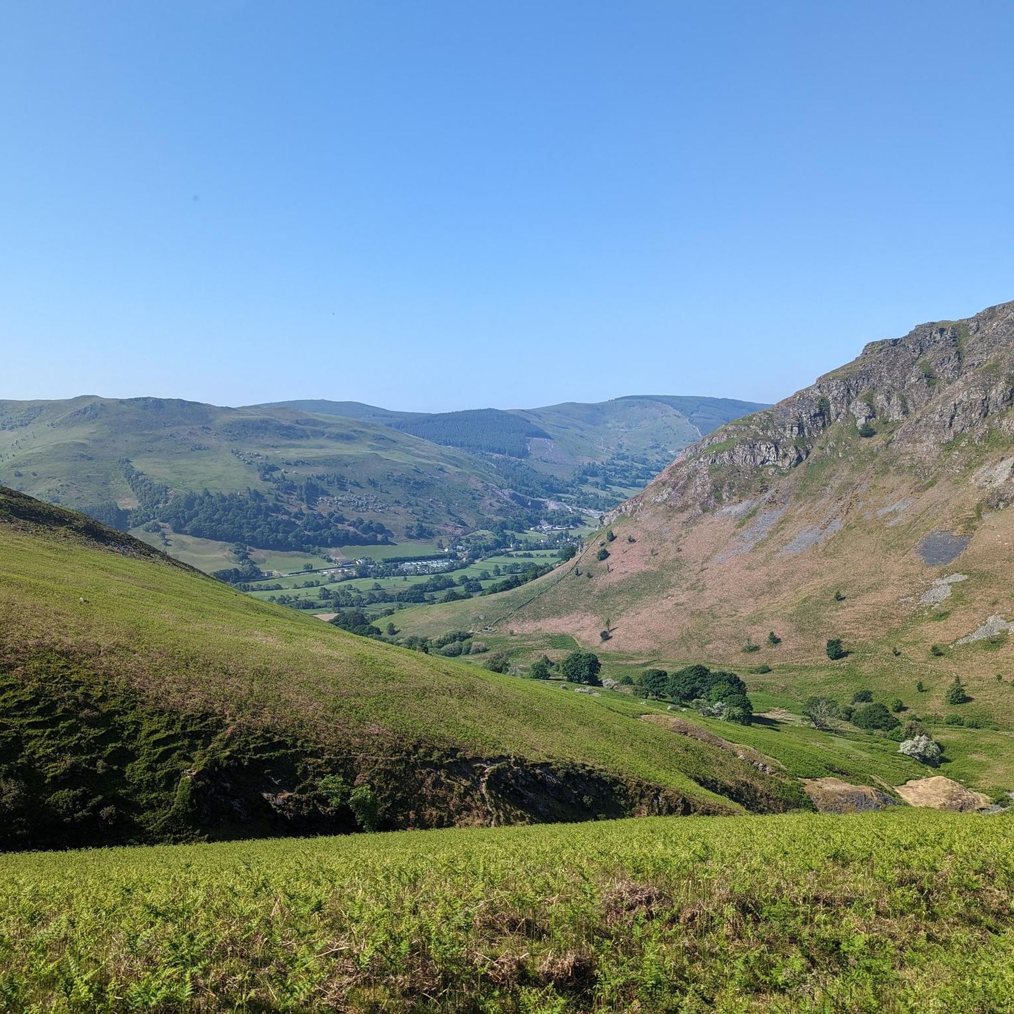
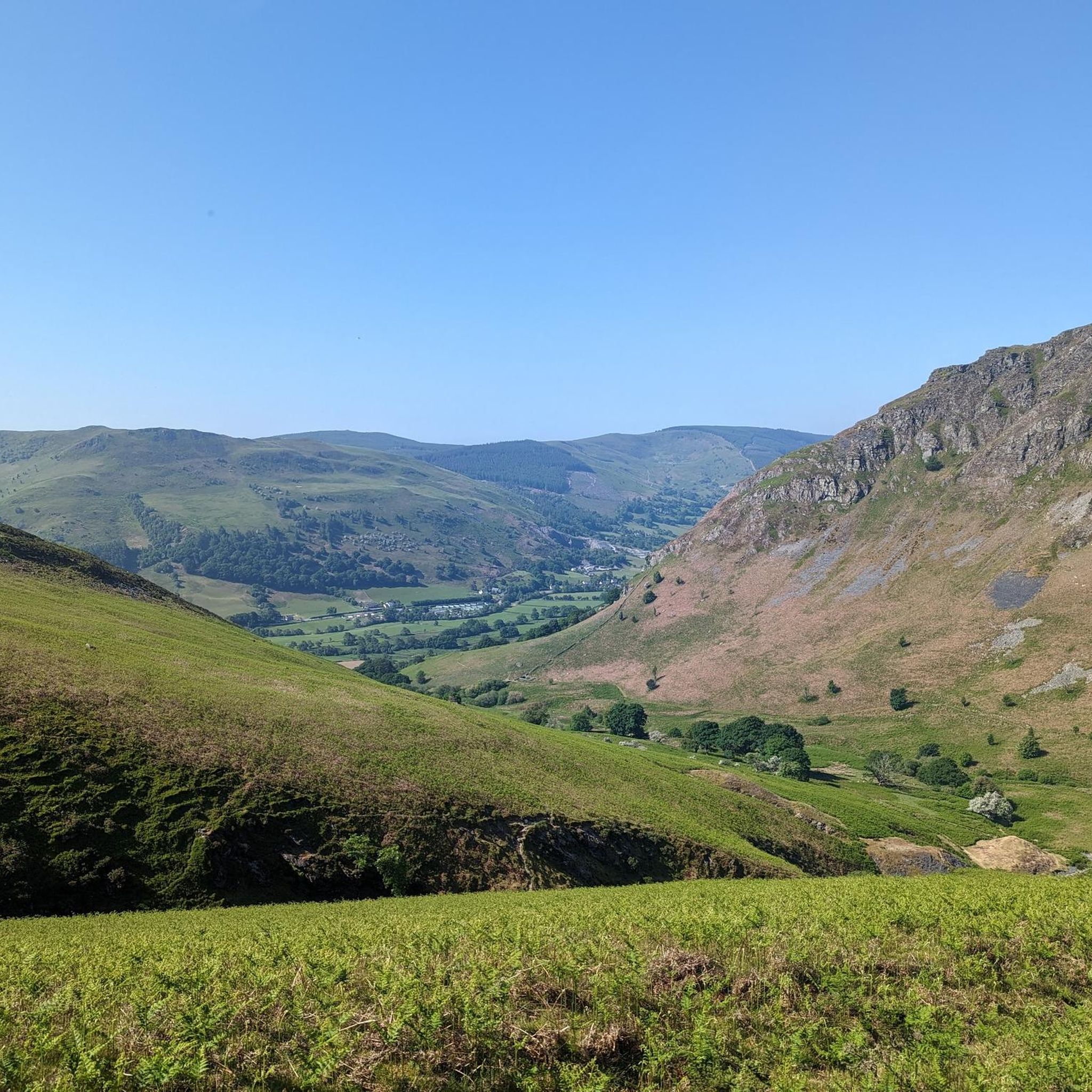
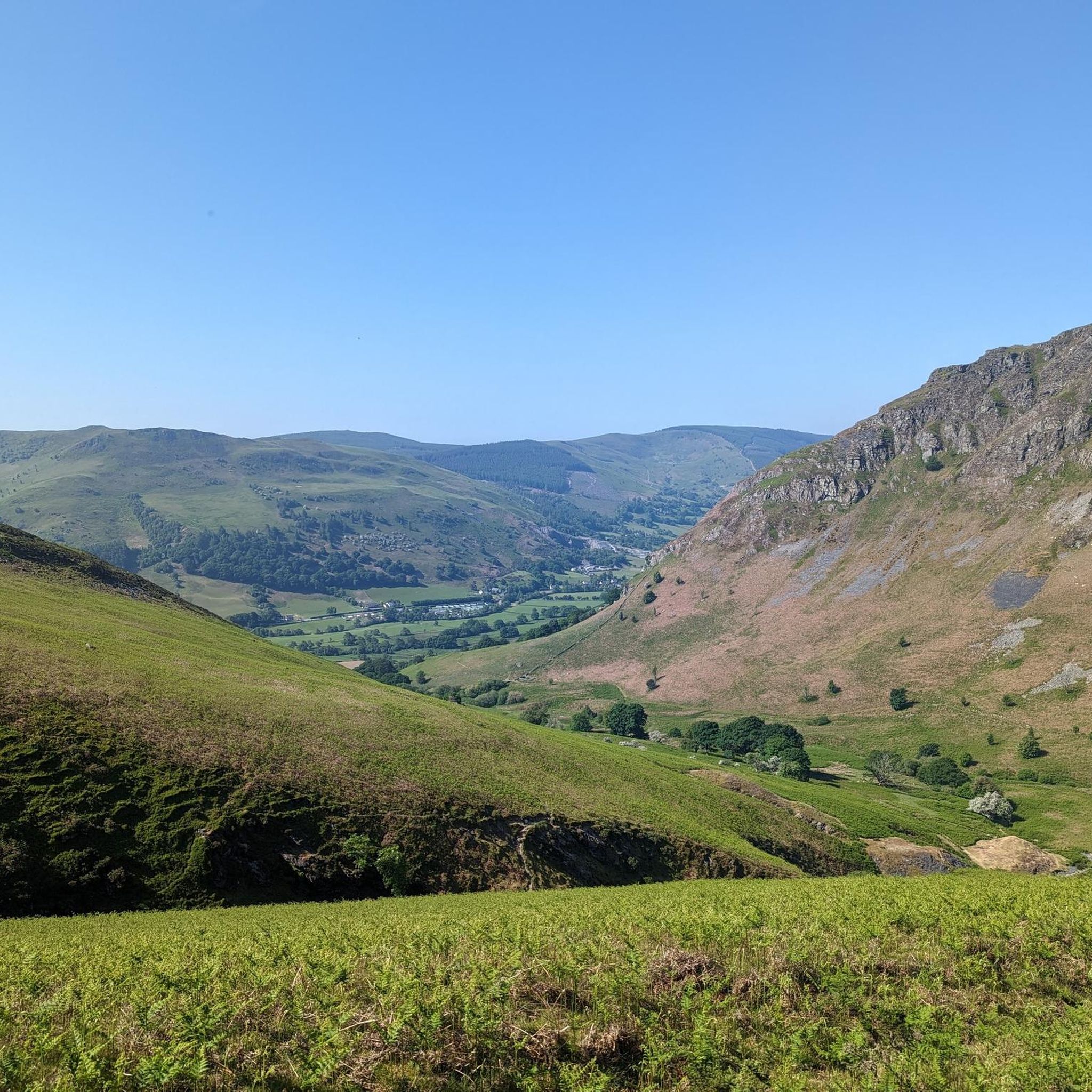
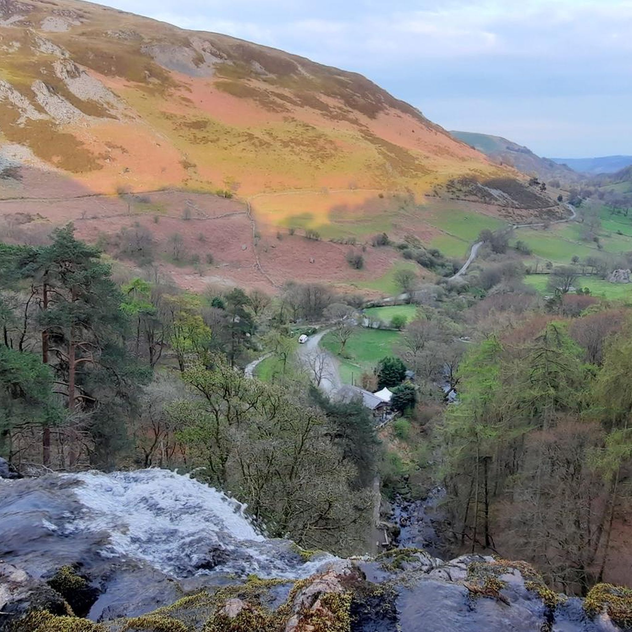

Tips from the Community


Hi I live very close to Moelfre Gyrn. In fact i actually own a small part of it. Moelfre Gyrn has a beautiful view and is lovely to walk up. Great for mountain bikers since they host riding events there. Hope this helps. Regards Arun.
1
0

The loop from Llandrillo going anticlockwise is very steady and pleasant. But be prepared for substantial bog trotting in the central part of the valley passing the area marked as Gwern Wynodl. Even with newish goretex boots, we came away with wet feet. Good boots and gaiters, or wellies for that section highly recommended. Return section (first section if doing it clockwise) is also pretty boggy in parts. It also seemed like a bit more of a slog doing it clockwise.
0
0


Boel y Geifr 626.2m P111 (2054ft) TP3221 - Bald Goats S8545
0
0
Moelfre Horn [S3128] 523m P237 (1716ft) Welsh Dewey Welsh Trig Pillar
0
0

Beautiful spot to sit and have a sandwich, looking at the views and down at the Llyn below
2
0
Frequently Asked Questions
What are the most challenging mountain peaks to hike around Pen-Y-Bont-Fawr?
For a challenging and rewarding ascent, consider Cadair Berwyn Summit. Standing at 2,730 feet (827 meters), it is the highest point in the Berwyn Range and offers expansive views. A popular route to the summit is the Cadair Berwyn Summit – Pistyll Rhaeadr loop from Llangynog, an 11.7-mile (18.8 km) trail typically taking nearly 7 hours to complete. Moel Sych Summit Cairn, at 2,712 feet (827 meters), also presents a challenging climb with terrific views across the Welsh uplands.
Are there any easier mountain walks or accessible peaks near Pen-Y-Bont-Fawr?
While many peaks in the Berwyn Range offer challenging ascents, the region's trail network caters to a range of fitness levels. For more accessible walks, you might explore areas around Pen y Rhos-fawr, which stands at 311 meters (1,020 feet) and offers potential views of the surrounding Powys landscape without the extreme elevation of the higher Berwyn peaks. The Tanat Valley itself also features gentler paths.
What natural landmarks or viewpoints can I expect to see in the Pen-Y-Bont-Fawr area?
Beyond the mountain peaks, the region is characterized by rolling upland landscapes and dramatic river valleys. A significant natural feature is Pistyll Rhaeadr, one of Britain's tallest waterfalls, which can be incorporated into several walks in the broader Berwyn Hills. From peaks like Cadair Berwyn Summit and Moel Sych Summit Cairn, you can enjoy expansive views across the serene Welsh uplands.
What is the best time of year to visit Pen-Y-Bont-Fawr for mountain hiking?
The best time to visit for mountain hiking is generally during the spring, summer, and early autumn months (April to October). During these periods, the weather is typically milder, days are longer, and trail conditions are more favorable. Winter hiking can be challenging, especially on higher peaks like Cadair Berwyn, due to colder temperatures, potential snow, and boggy conditions.
Are there family-friendly or dog-friendly hiking options in the Berwyn Mountains?
The Berwyn Mountains offer a variety of trails, some of which are suitable for families and dogs. While the highest peaks require significant effort, there are many lower-level paths and circular routes that provide enjoyable experiences. Always ensure dogs are kept under control, especially around livestock, and check local guidelines for specific trails. For boggy sections, particularly around Cadair Bronwen Summit Cairn, good boots and gaiters are recommended.
What kind of wildlife might I encounter while hiking in the Berwyn Range?
The Berwyn Range is known for being a quieter part of upland Wales, offering opportunities for wildlife spotting. The rolling uplands and diverse terrain, including heather and bog, provide habitats for various bird species, including raptors. Keep an eye out for mountain hares and other resilient upland creatures. Respecting the natural environment and keeping a quiet presence will increase your chances of sightings.
How long does it typically take to hike to Cadair Berwyn Summit?
A popular route to Cadair Berwyn Summit, such as the loop from Llangynog that includes Pistyll Rhaeadr, is an 11.7-mile (18.8 km) trail. This challenging hike typically takes nearly 7 hours to complete, depending on your fitness level and stops along the way.
What are some unique features of the peaks in the Berwyn Range?
The Berwyn Range peaks each offer distinct characteristics. Cadair Berwyn Summit is the highest point, offering solitude and vast views. Moel Sych Summit Cairn was once mistakenly thought to be the highest and provides terrific views. Cadair Bronwen Summit Cairn is a UK listed Nuttall, known for varied hiking experiences and potentially boggy sections. Foel Y Geifr, while geographically associated with the Aran Fawddwy group, offers a different landscape with grassy, heathery, and boggy terrain and a trig point.
Are there any circular routes available for mountain walks in the Berwyn Mountains?
Yes, there are several circular routes that allow you to explore the Berwyn Mountains. For example, a popular option for Cadair Berwyn Summit is a loop starting from Llangynog. Additionally, a horseshoe route from Tyn-y-ffrid or a longer point-to-point ridge walk along the Berwyn hills can incorporate Cadair Bronwen Summit Cairn.
What other outdoor activities can I do near the mountain peaks around Pen-Y-Bont-Fawr?
Beyond hiking, the area around Pen-Y-Bont-Fawr offers excellent opportunities for cycling. You can find various routes for mountain biking, road cycling, and gravel biking. For mountain biking, explore trails like the Ffridd St Ioan loop. Road cyclists can enjoy routes such as the Bwlch y Safan Pass loop, while gravel biking options include the Lake Vyrnwy and Dam loop. You can find more details on these activities in the MTB Trails around Pen-Y-Bont-Fawr, Road Cycling Routes around Pen-Y-Bont-Fawr, and Gravel biking around Pen-Y-Bont-Fawr guides.
Where can I find parking for trails leading to the Berwyn Mountains peaks?
Parking availability varies depending on your chosen starting point for trails into the Berwyn Mountains. Popular access points like Llangynog, often used for routes to Cadair Berwyn Summit, typically have designated parking areas. It's advisable to research specific trailheads in advance to confirm parking options and any potential fees or restrictions.
What should I pack for a mountain walk in the Pen-Y-Bont-Fawr area?
For mountain walking in the Berwyn Range, it's essential to be prepared for varied conditions. Pack appropriate layers of clothing, including waterproof and windproof outer shells, as weather can change quickly. Sturdy hiking boots are crucial, and gaiters are highly recommended for boggy sections, especially around Cadair Bronwen Summit Cairn. Carry sufficient water, snacks, a map and compass (or GPS device), a first-aid kit, and a fully charged phone. Sun protection is also important, even on cloudy days.
Most popular attractions around Pen-Y-Bont-Fawr

Get inspired with the komoot mobile app


Explore more
See even more amazing summits around Pen-Y-Bont-Fawr with these guides:
