The best running trails around Llangedwyn
4.8
(4)
1,049
runners
79
runs
Jogging around Llangedwyn offers diverse routes through the picturesque Tanat Valley in Powys, Wales. The region features a broken, hilly landscape with elevations between 100-250m, characterized by rolling pasture, semi-natural mixed deciduous woodlands, and the flowing River Tanat. This varied topography provides a mix of flatter riverside paths and more challenging inclines, catering to different running preferences. The extensive network of trails allows for exploration of both open vistas and shaded forest sections.
Best jogging routes around Llangedwyn
- The most…
Last updated: June 26, 2026
6
runners
4.81km
00:31
50m
50m
Easy run. Great for any fitness level. Mostly paved surfaces. Suitable for all skill levels.
5
runners
6.70km
00:44
140m
140m
Moderate run. Good fitness required. Mostly paved surfaces. Suitable for all skill levels.

Sign up for free
4
runners
11.1km
01:12
190m
190m
Moderate run. Good fitness required. Mostly paved surfaces. Suitable for all skill levels.
4
runners
6.73km
00:45
170m
170m
Moderate run. Good fitness required. Mostly paved surfaces. Suitable for all skill levels.
4
runners
8.76km
00:55
90m
90m
Moderate run. Good fitness required. Mostly paved surfaces. Suitable for all skill levels.
Get access to more routes and recommendations from other explorers.
Sign up for free
Already have an account?
Our route recommendations are based on thousands of hikes, rides, and runs completed by other people on komoot.
Start today with a free account
Your next adventure awaits.
Login or Signup

Tips from the Community


Llanfyllin is a quaint market town in North Powys. It is a bit off the beaten track but this makes it an ideal centre to use as a base to explore the lakes and hills of southern Snowdonia. This is particularly so for nearby Lake Vyrnwy. Nestled in amongst the rolling hills of the surrounding countryside it is a great place to spend some time at.
0
0

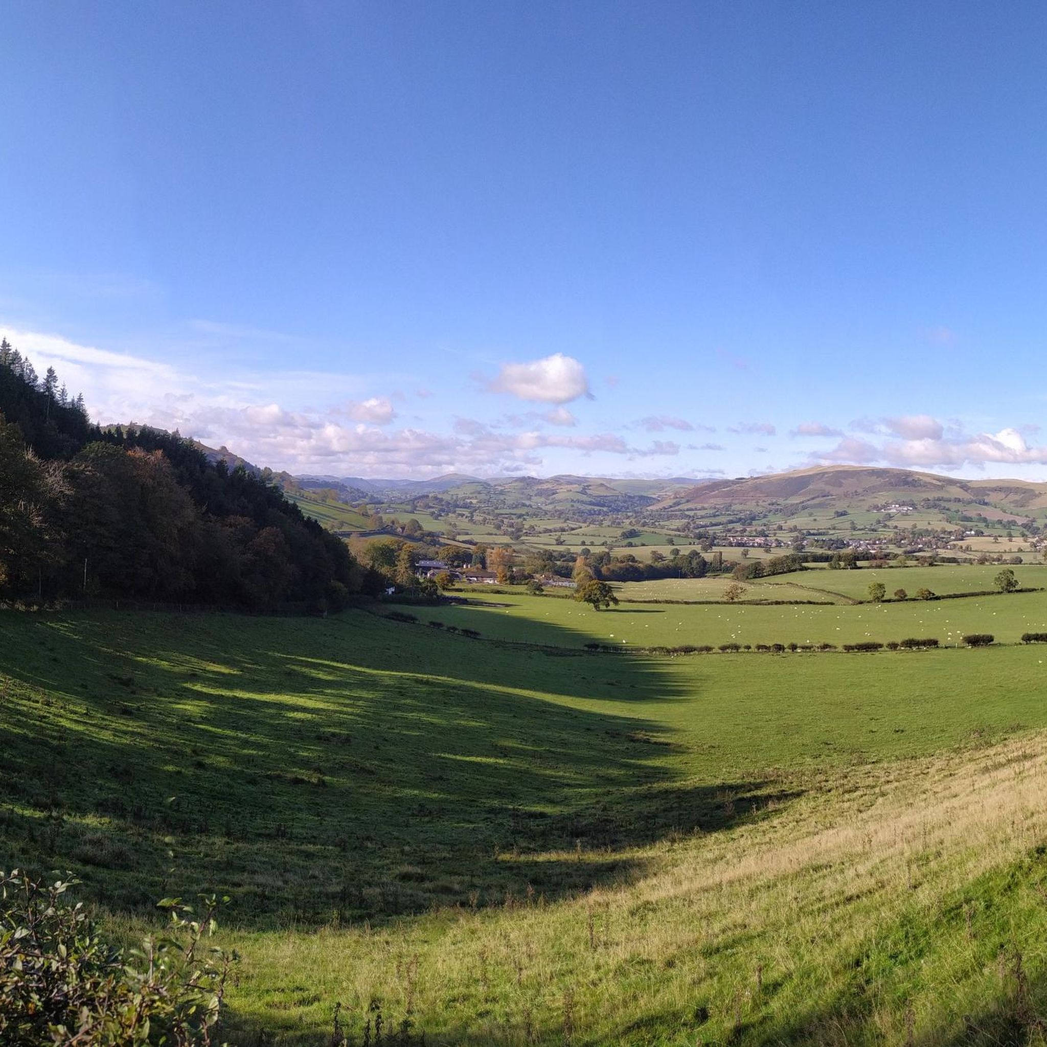
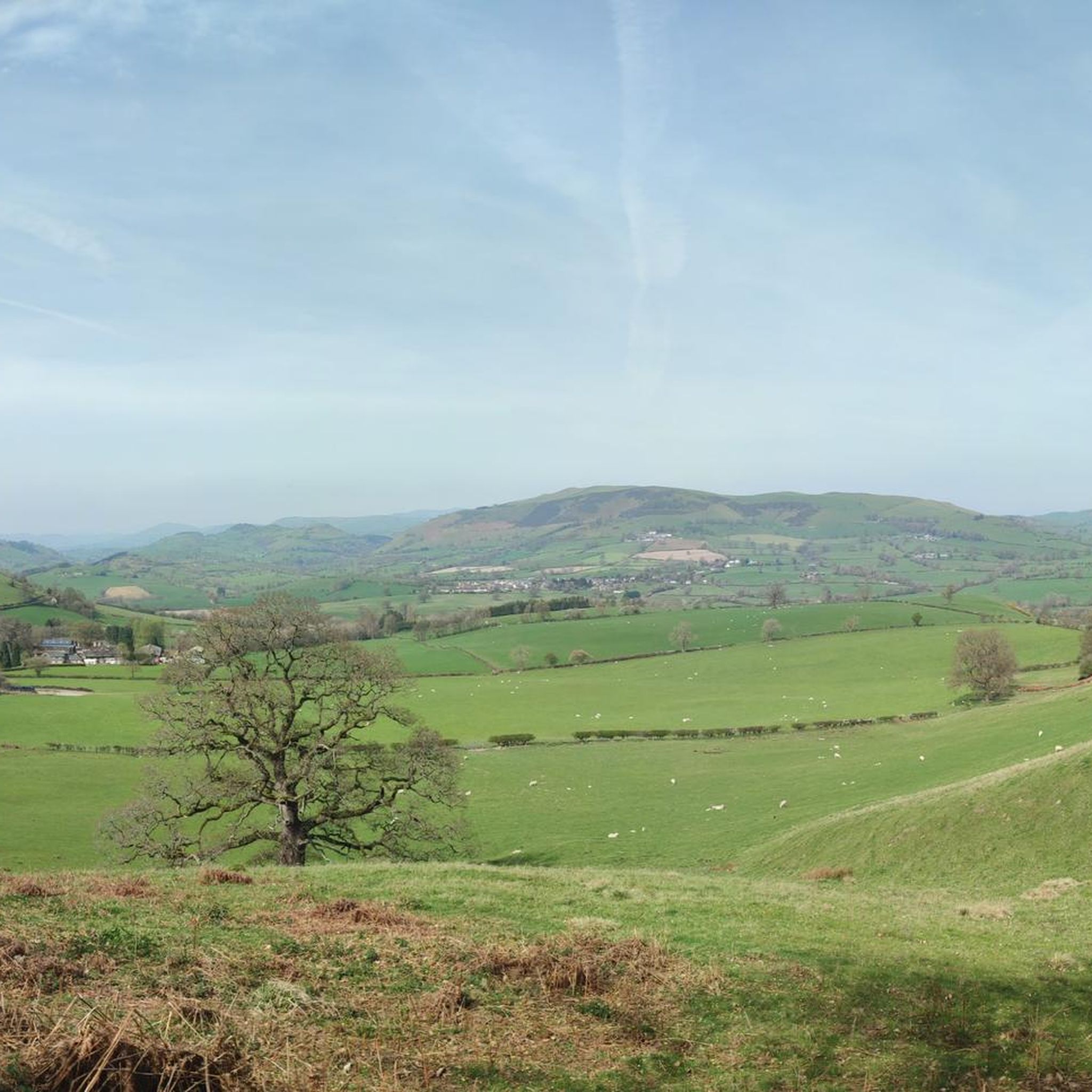
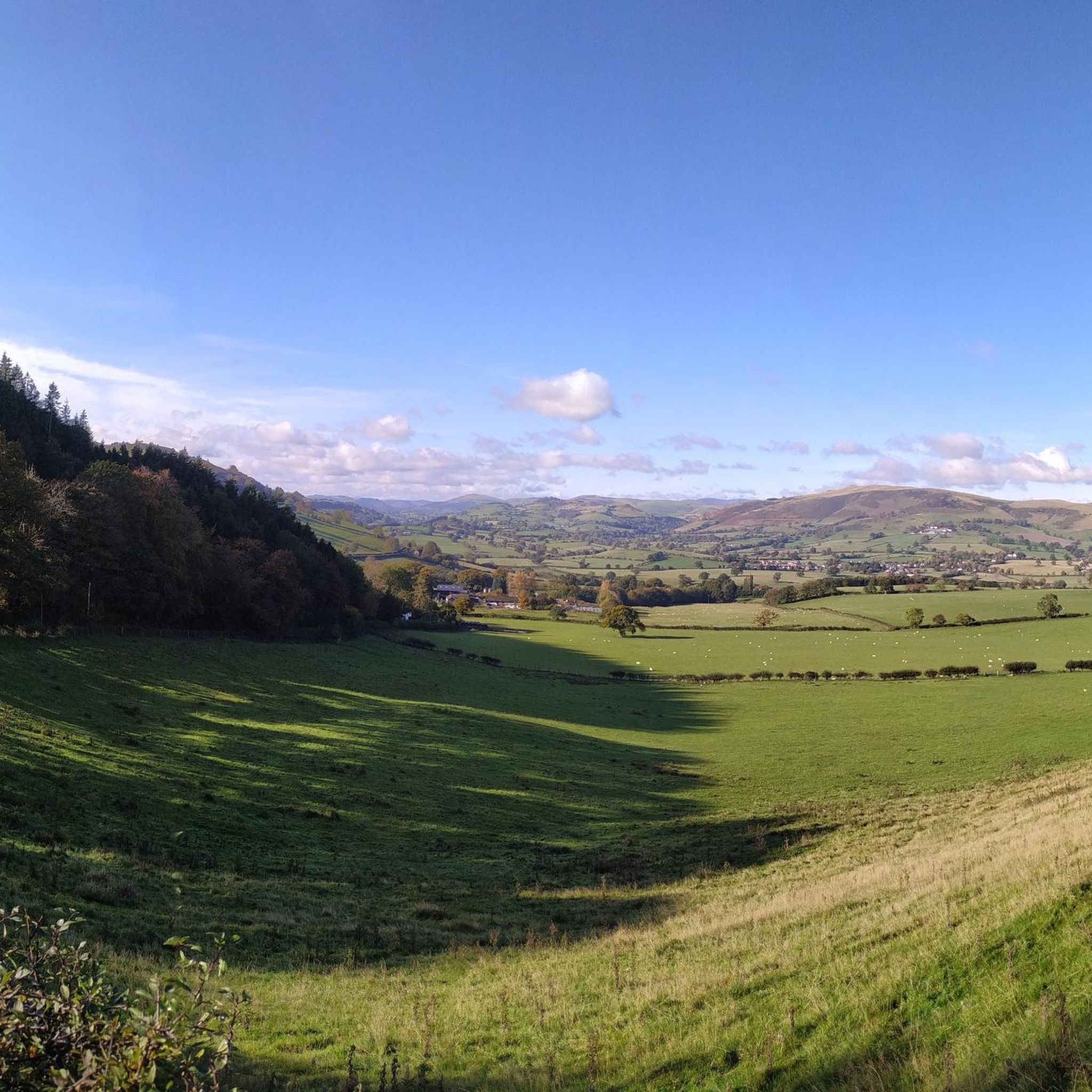
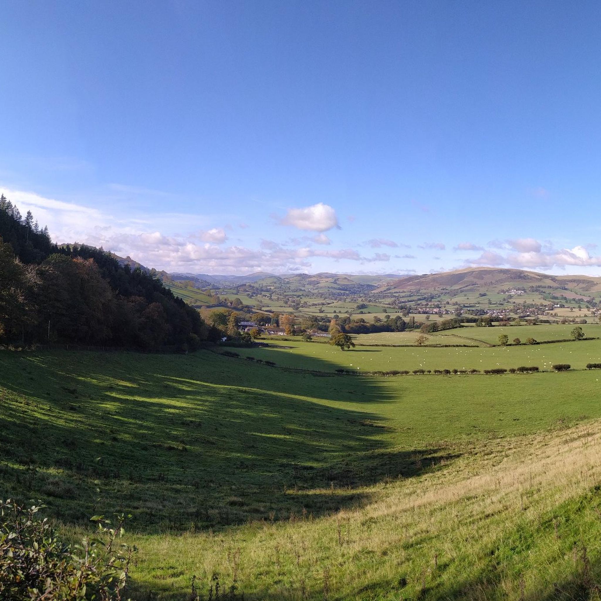
Great views back down the valley to the west with Mynydd y Bryn at 334m to the southwest and the Cynllaith valley to the west. Once you climb a bit further to the high point at 318m you can see east towards Oswestry.
0
0

This is a steep climb, about 11% average but worth it for the incredible view.
1
0
Frequently Asked Questions
How many running routes are available around Llangedwyn?
There are over 80 running routes around Llangedwyn, offering a wide range of options for all fitness levels. You'll find everything from easy, gentle paths to more challenging, difficult trails.
Are there any easy running routes suitable for beginners or a relaxed jog?
Yes, Llangedwyn offers several easy running routes. These typically follow flatter sections along the River Tanat or through gentle pastureland. For example, the Running loop from Llanfechain is a moderate 8.76 km path with minimal elevation gain, offering a pleasant experience.
What kind of terrain can I expect on the running trails in Llangedwyn?
The terrain around Llangedwyn is quite varied. You can expect a mix of rolling pasture, semi-natural mixed deciduous woodlands, and riverside paths along the River Tanat. Some routes feature significant elevation changes as they climb into the broken, hilly landscape, while others offer flatter sections for a more relaxed run.
Are there any running routes that offer great views or lead to scenic spots?
Absolutely! Many routes in the Tanat Valley provide stunning views. For panoramic vistas, consider trails that ascend to points like the Gyrn Moelfre Summit. The area also boasts natural wonders like Pistyll Rhaeadr, Wales' tallest waterfall, which can be incorporated into longer running loops for a truly rewarding experience.
Can I find any challenging or difficult running trails in the Llangedwyn area?
Yes, for those seeking a challenge, Llangedwyn and its surroundings offer difficult running trails with significant elevation gain. An example is the Llanymynech Turning Point – Cefn Covert loop from Llanyblodwel, a demanding 17.12 km route that will test your endurance.
Are the running routes in Llangedwyn suitable for families?
Many of the easier and moderate routes along the Tanat Valley are suitable for families, especially those with older children who enjoy outdoor activities. These paths often follow riversides or through gentle woodlands, providing a pleasant environment for a family jog or walk. Always check the route details for distance and elevation to ensure it matches your family's ability.
Are dogs allowed on the running trails around Llangedwyn?
Generally, dogs are welcome on public footpaths and trails in the Llangedwyn area. However, as much of the region consists of farmland, it's crucial to keep dogs on a lead, especially near livestock, and to follow the Countryside Code. Always be mindful of local signage and respect private land.
What are some notable landmarks or points of interest I might encounter while running?
Beyond the natural beauty, you might encounter several interesting points. The View from Llanymynech Hill offers historical context and views. The area also features ornamental elements around Llangedwyn Hall, blending natural and cultivated beauty. For natural monuments, look out for Llanymynech Rocks Nature Reserve.
What do other runners say about the trails in Llangedwyn?
The running routes in Llangedwyn are highly rated by the komoot community, with an average score of 5.0 stars. Runners often praise the diverse terrain, from tranquil riverside paths to challenging hill climbs, and the stunning views of the Tanat Valley and surrounding Berwyn Mountains.
Are there any circular running routes in Llangedwyn?
Yes, many of the running routes in Llangedwyn are designed as loops, allowing you to start and finish in the same location. This includes routes like the Running loop from Llanfechain, which offers a convenient circular experience through the local countryside.
Is there public transport access to the running trails in Llangedwyn?
Public transport options in the rural Tanat Valley, including Llangedwyn, can be limited. While some villages may have bus services, direct access to trailheads might require a car. It's advisable to check local bus schedules in advance if you plan to rely on public transport.
Where can I find parking for the running routes?
Parking availability varies by trailhead. Many villages and popular starting points for routes, such as Llansilin or Llanfechain, may offer designated parking areas or roadside parking. For specific routes, it's recommended to check the route details on komoot, as users often provide information about parking.
Most popular attractions around Llangedwyn

Get inspired with the komoot mobile app


Explore more
Browse the best Running Trails & Routes in other regions.
