The best walks and hikes around Gwernymynydd
4.5
(1435)
12,640
hikers
256
hikes
Hiking around Gwernymynydd explores the Clwydian Range and Dee Valley, an Area of Outstanding Natural Beauty. The region features rolling heather-clad hills, limestone cliffs, and wooded valleys. Many trails follow the River Alyn and pass through Loggerheads Country Park, offering a mix of natural and historical points of interest. The area's terrain includes heather moorland, limestone river valleys, and paths through former industrial landscapes.
Best hiking trails around Gwernymynydd
- The most popular hiking route is Moel Famau from Loggerheads loop — Clwydian Range & Dee Valley, an 8.5 miles (13.6 km) trail that takes 4 hours to complete. This moderate hike leads to the Jubilee Tower on the summit of Moel Famau.
- Another top favourite among local hikers is Devil's Gorge Cave Entrance – Leete Path loop from Loggerheads, an easy 4.0 miles (6.4 km) path. The route follows a former industrial water channel through the Alyn Valley and passes the Devil's Gorge.
- Local hikers also love the Moel Famau Trig Point – Jubilee Tower on Moel Famau loop from Loggerheads, a 8.3 miles (13.3 km) trail leading through Moel Famau Country Park, often completed in about 3 hours 59 minutes.
- Hiking around Gwernymynydd is defined by heather moorland, limestone river valleys, and paths through former industrial landscapes. The network of trails provides options for different ability levels, from gentle riverside walks to more demanding hill ascents.
- The routes in Gwernymynydd are highly rated by the komoot community with an average score of 4.5 stars from over 1,200 reviews. More than 11,000 hikers have used komoot to explore Gwernymynydd's varied terrain.
Last updated: October 17, 2026
4.7
(81)
227
hikers
13.6km
04:03
410m
410m
Moderate hike. Good fitness required. Mostly accessible paths. Sure-footedness required.
4.7
(26)
285
hikers
7.61km
02:05
120m
120m
Moderate hike. Good fitness required. Easily-accessible paths. Suitable for all skill levels.

4.8
(25)
202
hikers
13.3km
03:59
410m
420m
Moderate hike. Good fitness required. Easily-accessible paths. Suitable for all skill levels.
4.8
(28)
115
hikers
10.6km
03:17
380m
380m
Moderate hike. Good fitness required. Easily-accessible paths. Suitable for all skill levels.
4.0
(5)
128
hikers
3.39km
00:56
60m
60m
Easy hike. Great for any fitness level. Easily-accessible paths. Suitable for all skill levels.
Get access to more routes and recommendations from other explorers.
Already have an account?
Our route recommendations are based on thousands of hikes, rides, and runs completed by other people on komoot.
Start today with a free account
Your next adventure awaits.

Tips from the Community


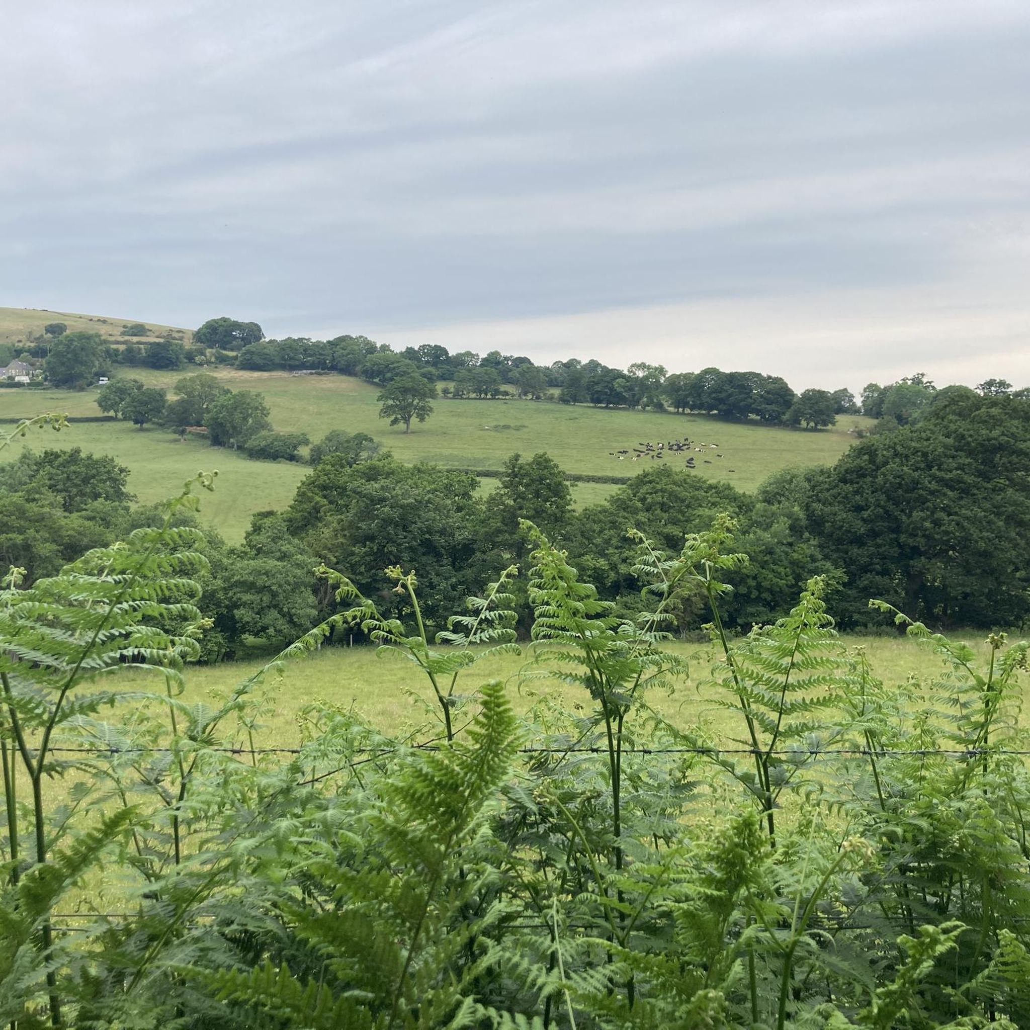
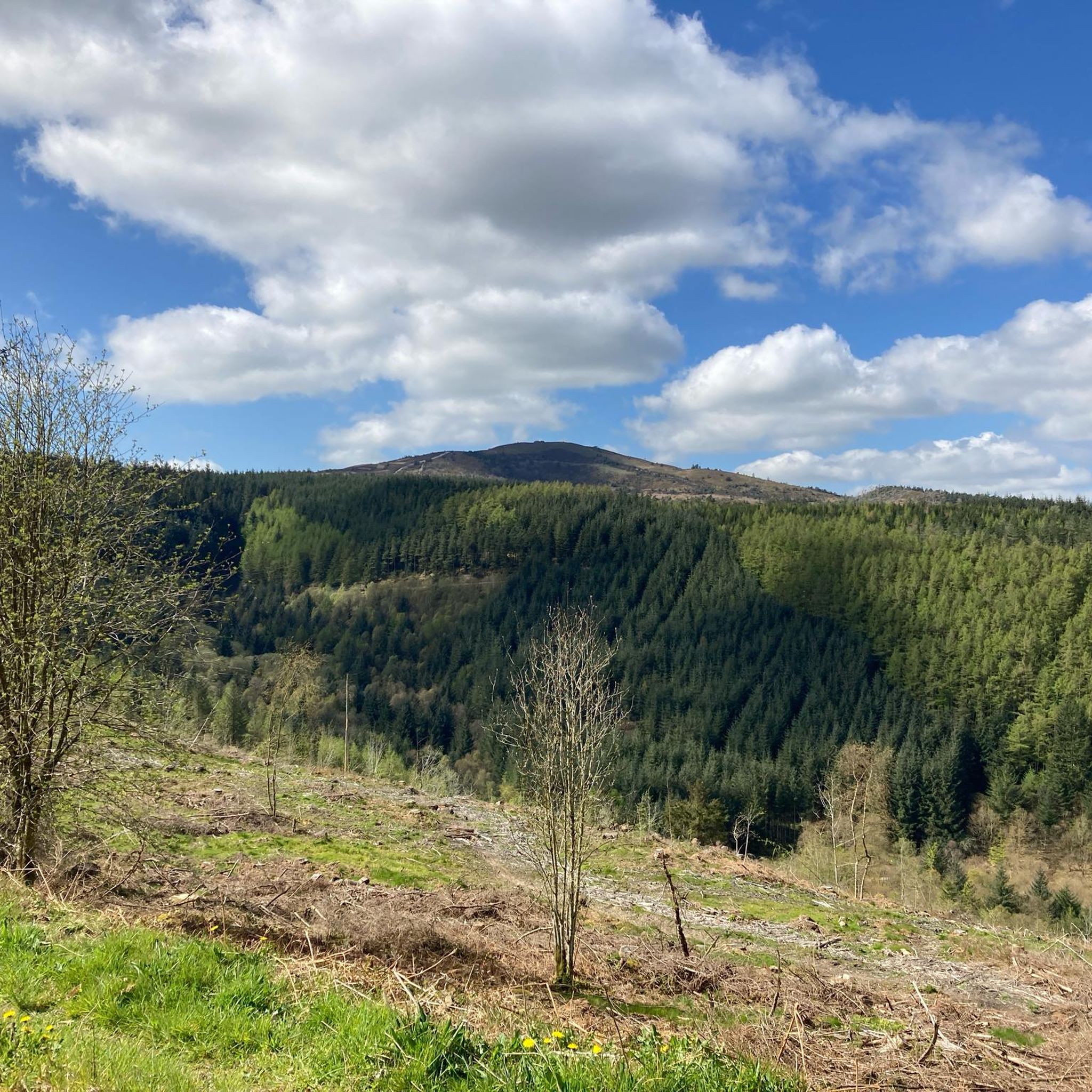
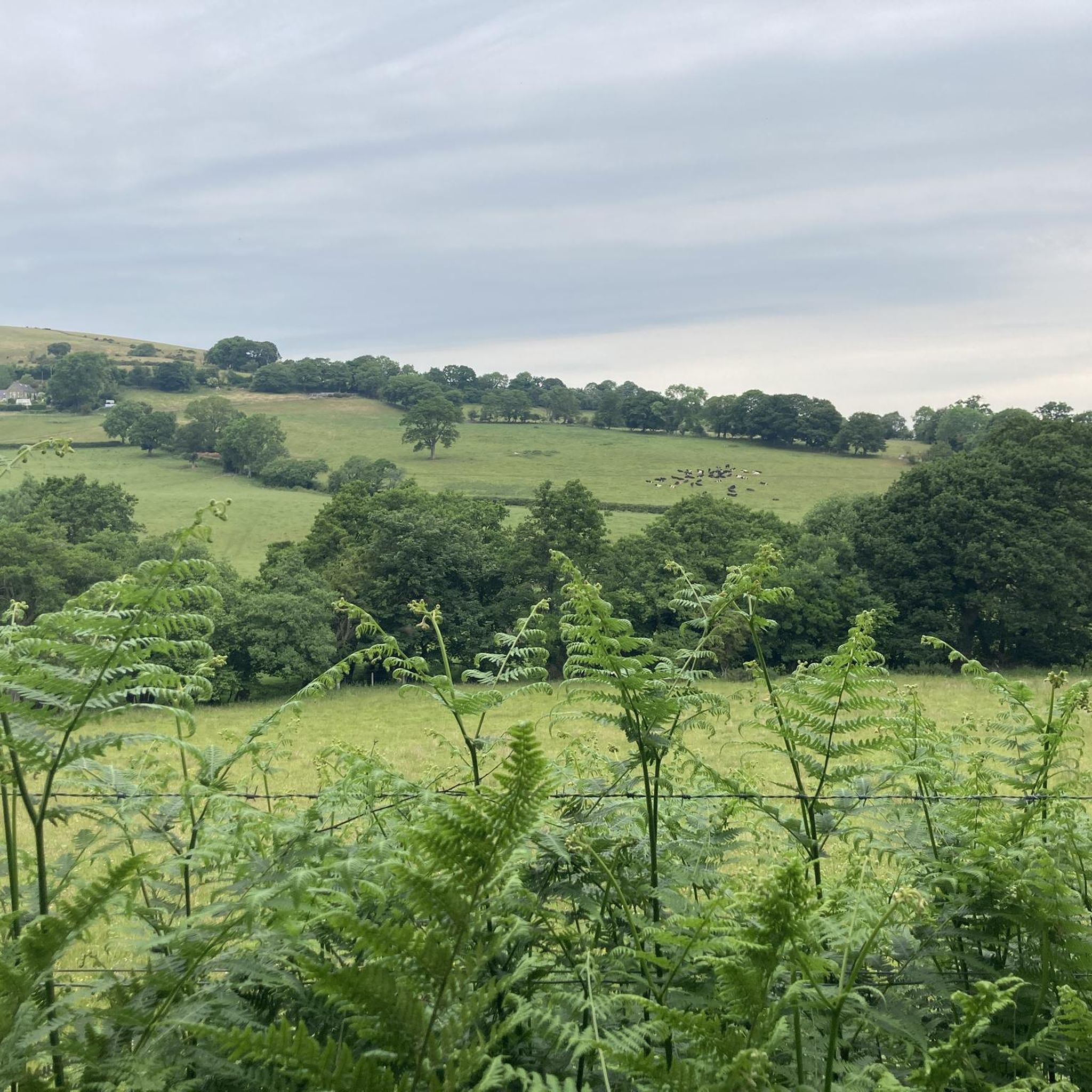
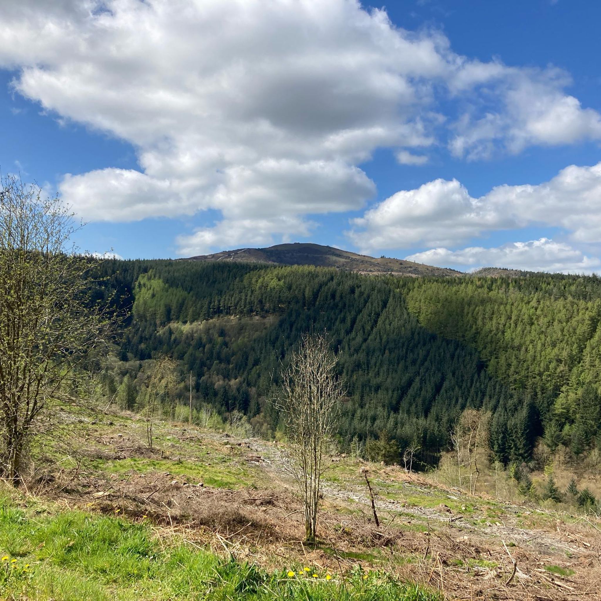
A large area of managed woodland on the slopes south of Moel Famau in the Clwydian Range of mountains. There are lots of trails through the woodland, popular with walkers and mountain bikers.
0
0

Pretty open moor area and small llyn amidst the trees on the flanks of Moel Famau. Lots of wildflowers in summer.
0
0

Smiley Trig Point to finish the climb to Moel Famau
0
0

Like all hills the weather can turn in an instant take sturdy foot wear and a waterproof jacket :)
1
0

The site was the location of Pentre Mill, a corn mill dating to the early 19th century. The mill was powered by a water wheel near the River Alyn; the water wheel was closed in the 1940s and restored in the 1990s. The park was also the location of lead mining and quarrying.
4
0
Caffi Florence is an award winning café, specialising in fresh, seasonal, homemade and locally sourced produce, based at Loggerheads Country Park near Mold. Great food drink and atmosphere.
2
0
Frequently Asked Questions
Are there any easy, family-friendly walks around Gwernymynydd?
Yes, the area offers several gentle walks suitable for families. A great option is the Leete Path – View of Moel Famau loop from Gwernymynydd. This short, 2-mile (3.2 km) trail is relatively flat and follows a historic industrial water channel, making it both scenic and interesting for all ages.
Can I take my dog on hikes in the Gwernymynydd area?
Many trails around Gwernymynydd are dog-friendly, particularly in places like Loggerheads Country Park and Nercwys Forest. However, you will be walking through areas with active farmland and sensitive wildlife habitats. Always keep your dog under close control, and be prepared to use a lead, especially near livestock.
What is the terrain like on the trails?
The terrain is quite varied. You can expect everything from gentle, well-maintained riverside paths in the Alyn Valley to steep, challenging ascents on heather moorland in the Clwydian Range. Many routes also feature limestone cliffs and paths through woodlands, some of which can be muddy after rain.
Where is the best place to park for hikes in the area?
A popular and convenient starting point is Loggerheads Country Park, which has a large car park and serves as a hub for many key trails, including routes to Moel Famau and along the River Alyn. Arrive early on weekends as it can get busy. Other smaller car parks, like at Bod Petryal, offer access to quieter trails.
Are there any pubs or cafes on the walking routes?
Yes, Loggerheads Country Park has a cafe near the main car park, making it a perfect spot for a drink or snack before or after your hike. Additionally, the area around the park and nearby villages has several highly-regarded pubs, often just a short walk or drive from the main trailheads.
What historical points of interest can I see while hiking?
The region is rich in industrial heritage from its lead mining past. The Leete Path follows a former water channel built for the mines. You can also see the dramatic, 30-meter-deep limestone ravine of Devil's Gorge. On the summit of Moel Famau, you'll find the ruins of the Jubilee Tower, built in 1810 to commemorate King George III's golden jubilee.
What kind of wildlife might I spot near Gwernymynydd?
The diverse habitats support a variety of wildlife. In the Alyn Valley, look for dippers and grey wagtails along the river. The woodlands are known for bluebells and wild garlic in the spring, while the limestone grasslands attract numerous butterfly species. On the higher moorlands, you might see birds of prey circling overhead.
How many hiking trails are there around Gwernymynydd?
There are over 250 marked hiking routes in the region. These range from short, easy loops of just a couple of miles to challenging all-day treks into the heart of the Clwydian Range, offering plenty of options for all fitness and experience levels.
What do other hikers enjoy most about the trails here?
The area is highly rated by the komoot community, with an average score of 4.5 stars. Hikers frequently praise the stunning panoramic views from the hilltops, the mix of scenery from woodland to moorland, and the well-maintained paths that incorporate the region's fascinating industrial history.
Are the trails accessible by public transport?
Accessing the trailheads via public transport is possible but requires some planning. Regular bus services run to the nearby town of Mold. From there, you can connect to local services that stop at or near key locations like Loggerheads Country Park. It's best to check current timetables for services operating in the Clwydian Range area.
Are there any challenging hikes that include both Moel Famau and Devil's Gorge?
Yes, for a longer, more demanding day out, you can combine these landmarks. The Devil's Gorge Cave Entrance – Jubilee Tower on Moel Famau loop from Gwernymynydd is a rewarding 8.6-mile (13.8 km) moderate hike. It includes the ascent to the Jubilee Tower and also takes you through the scenic valley past the impressive gorge.
Most popular attractions around Gwernymynydd

Get inspired with the komoot mobile app


Explore more
Browse the best Hikes in other regions.
