The best walks and hikes around Waunfawr
4.5
(4297)
44,641
hikers
17
hikes
Hiking around Waunfawr offers diverse landscapes, from rolling hills and forested slopes to open meadows and mountain vistas. The region is situated near Snowdonia National Park, providing views of peaks like Mynydd Mawr and Moel Eilio, with glimpses of Snowdon. Meandering rivers such as the Afon Gwyrfai and various waterfalls add to the natural features. The terrain includes a mix of gentle paths and more strenuous ascents, catering to different hiking preferences.
Best hiking trails around Waunfawr
- The most popular hiking route is Moel Eilio Summit – Foel Gron loop from Glynrhonwy Slate Quarry, a 7.5 miles (12.0 km) trail that takes 4 hours 2 minutes to complete, offering significant elevation gain and panoramic mountain views.
- Another top favourite among local hikers is Moel Eilio Summit loop from Glynrhonwy Slate Quarry, a moderate 3.7 miles (6.0 km) path. This route provides a direct ascent to Moel Eilio's summit, rewarding hikers with expansive vistas.
- Local hikers also love the View of Mynydd Mawr – Forest Trail Near Llanberis loop from Waunfawr, a 5.9 miles (9.5 km) trail leading through varied forest and open terrain, often completed in about 2 hours 50 minutes.
- Hiking around Waunfawr is defined by mountain vistas, rolling hills, and forested slopes, with options ranging from easy walks to more challenging ascents. The network offers options for different ability levels, from short village walks to longer mountain expeditions.
- The routes in Waunfawr are highly rated by the komoot community with an average score of 4.5 stars from over 2,900 reviews. More than 32,500 hikers have used komoot to explore Waunfawr's varied terrain.
Last updated: October 14, 2026
4.8
(44)
448
hikers
Moderate hike. Good fitness required. Easily-accessible paths. Suitable for all skill levels.
4.9
(10)
133
hikers
6.04km
02:10
360m
360m
Moderate hike. Good fitness required. Easily-accessible paths. Suitable for all skill levels.

4.8
(4)
15
hikers
7.28km
02:00
120m
120m
Moderate hike. Good fitness required. Easily-accessible paths. Suitable for all skill levels.
5.0
(2)
9
hikers
9.48km
02:50
270m
270m
Moderate hike. Good fitness required. Easily-accessible paths. Suitable for all skill levels.
3.0
(1)
10
hikers
3.28km
00:54
60m
50m
Easy hike. Great for any fitness level. Easily-accessible paths. Suitable for all skill levels.
Get access to more routes and recommendations from other explorers.
Already have an account?
Our route recommendations are based on thousands of hikes, rides, and runs completed by other people on komoot.
Start today with a free account
Your next adventure awaits.
Tips from the Community

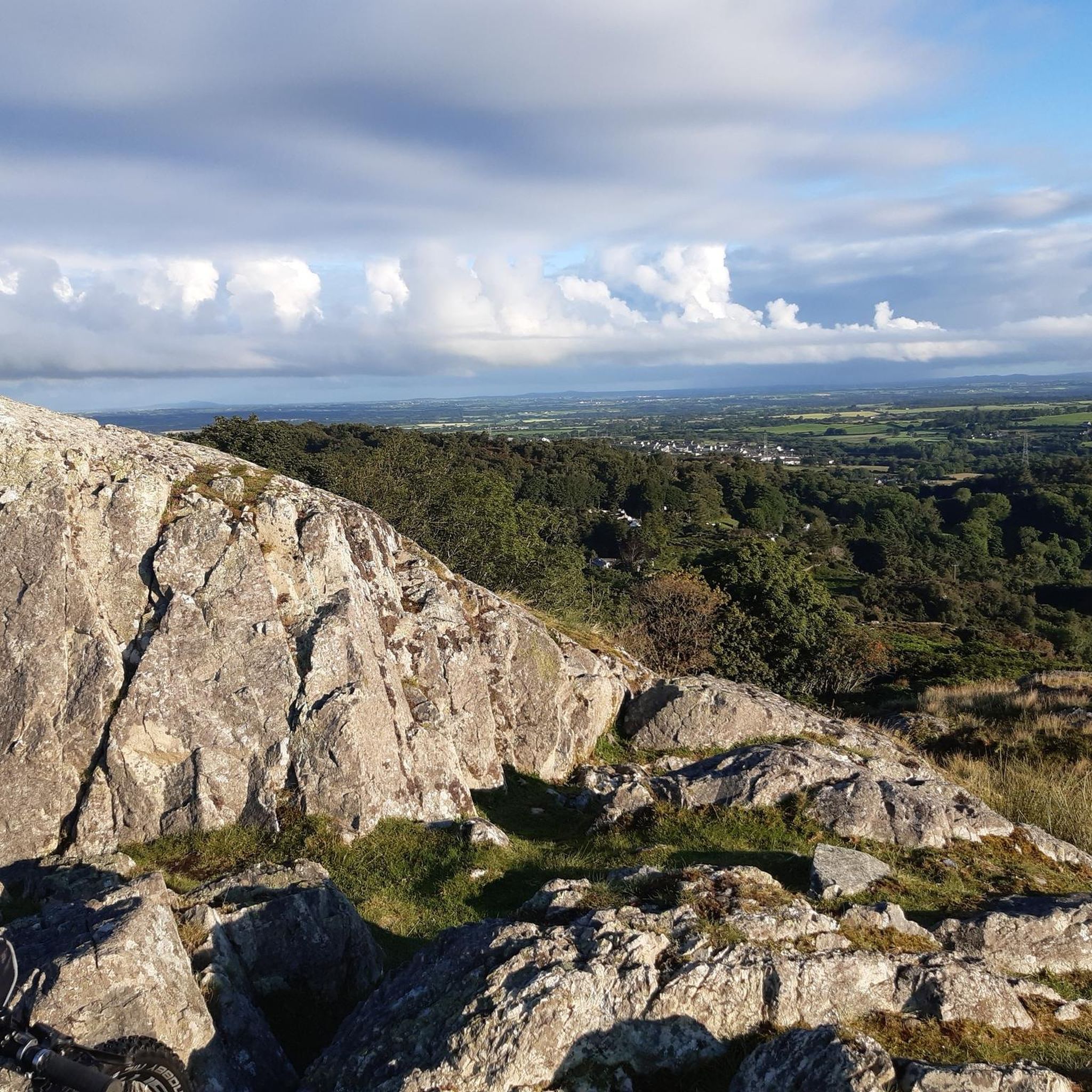
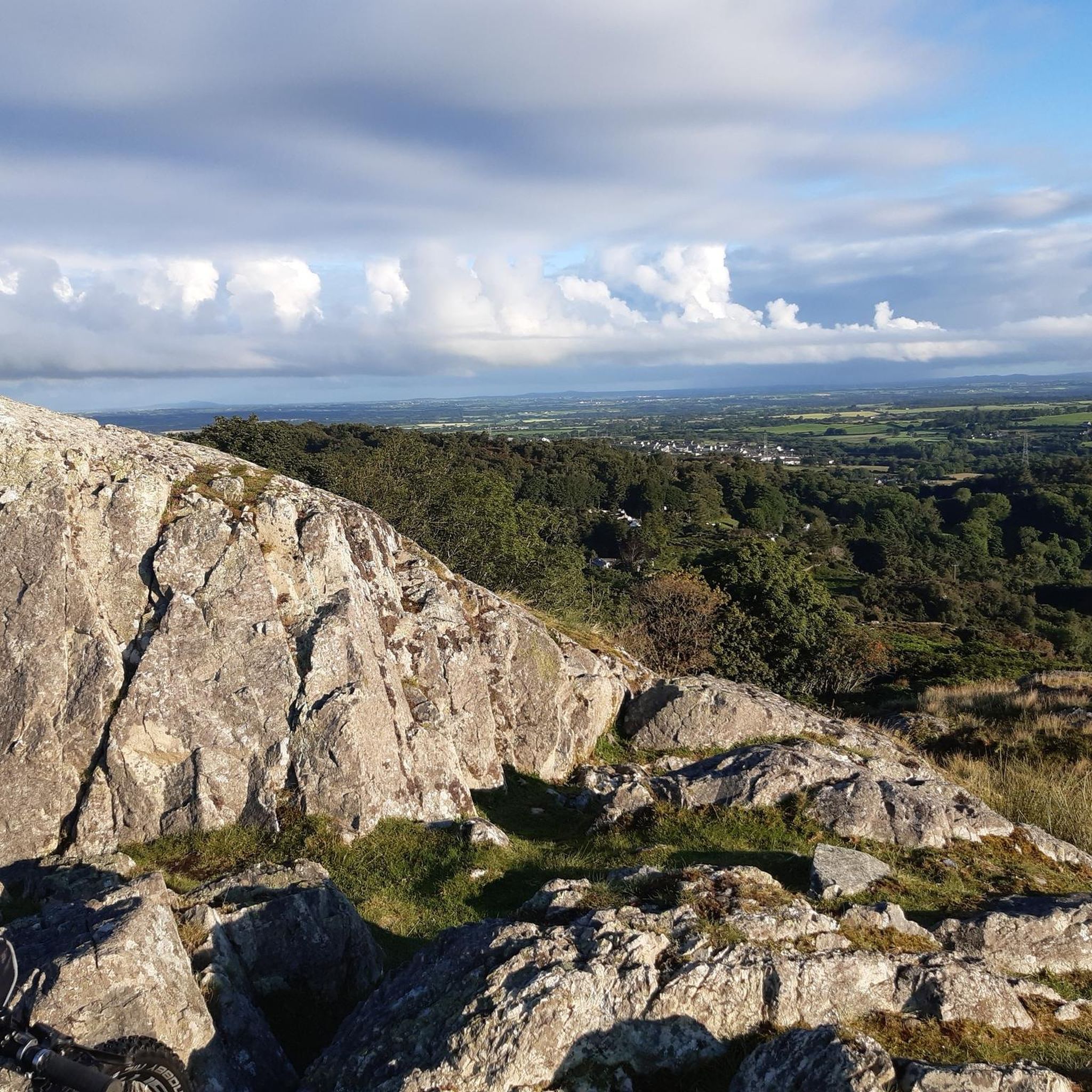
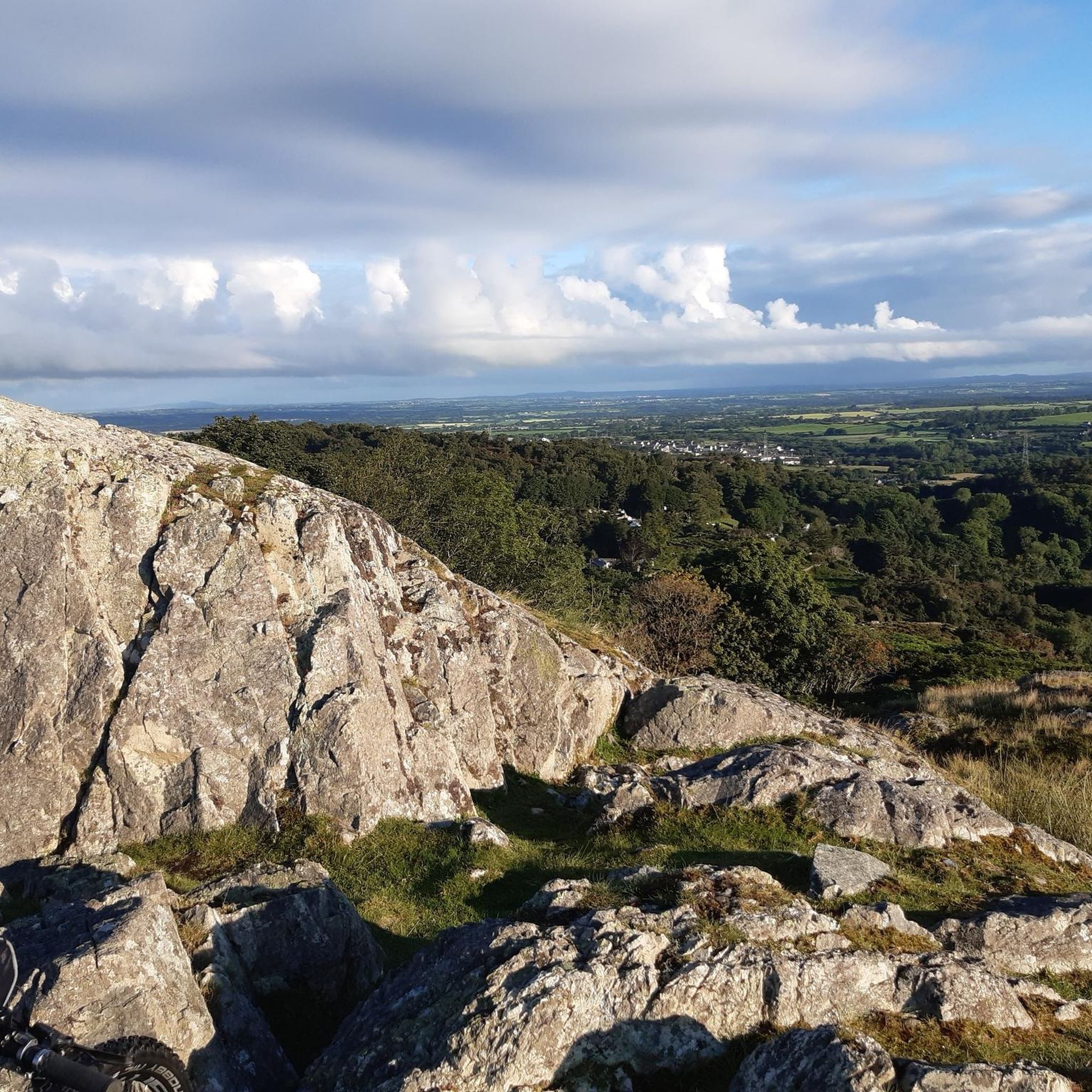
An outlier of Moel Eilio, with a steep descent to Bwlch Maesgwm.
0
0
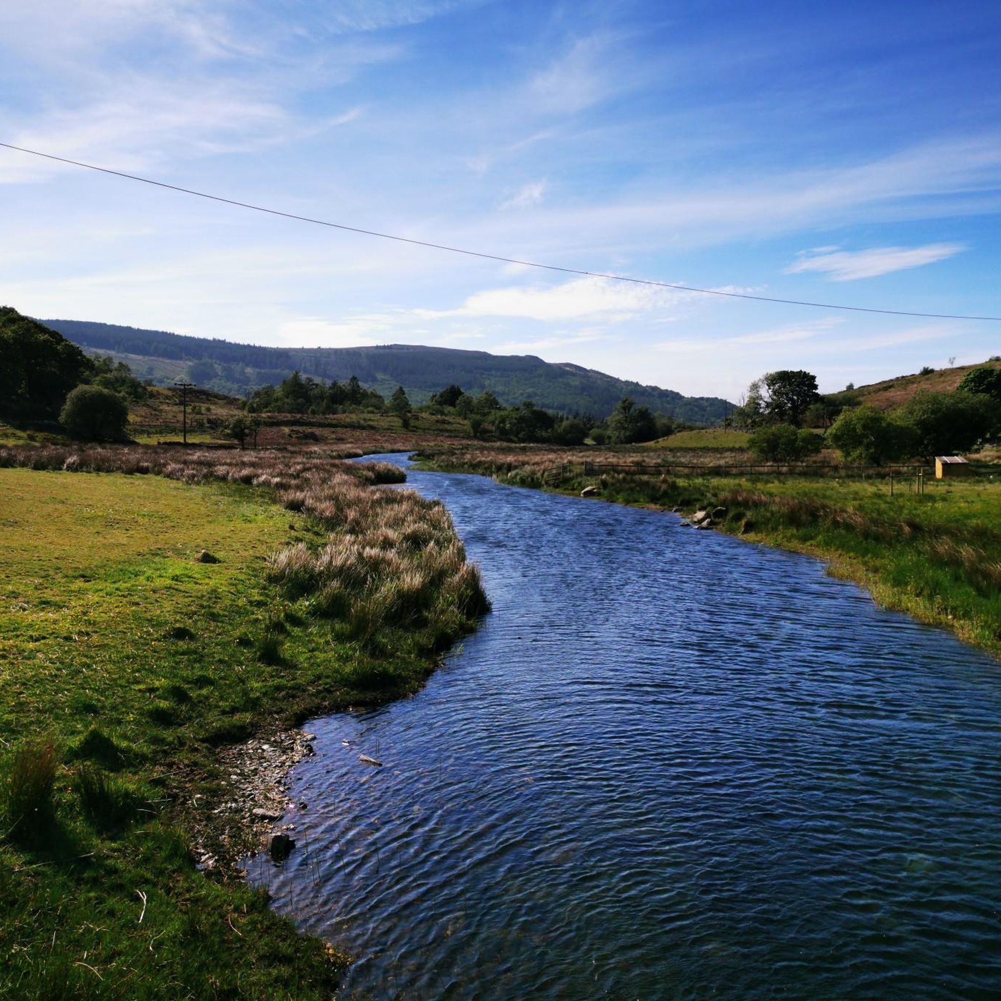
A very good path - good enough for cycling - from Bwlch Maesgwm to the road above Llanberis. It is a beautiful valley with a feeling a remoteness.
0
0
Moel Eilio may not be the most exciting mountain in Snowdonia, but when the conditions are right it can be a truly spectacular viewpoint to Snowdon, the Glyders, and the Beddgelert hills.
0
0


Maesgwm is also known as Telegraph Valley. The trail is gravel and well-made, brilliant to ride and much quieter than the main Llanberis path. It makes a great loop from Llanberis, using a section of the Ranger. Rideable in both directions.
1
1

A summit high above Llanberis, situated at 605-metres above sea level. This summit is a subsidiary summit of the nearby Moel Elio, and not to be confused with the Foel Goch in the Ogwen Valley next to Y Garn!
0
0
Frequently Asked Questions
What kind of hiking trails can I expect around Waunfawr?
Waunfawr offers a diverse range of hiking experiences, from gentle village walks to more challenging mountain ascents. You'll find a mix of rolling hills, forested slopes, open meadows, and dramatic mountain vistas, including views of Mynydd Mawr, Moel Eilio, and sometimes even Snowdon. The area caters to various abilities, with options for both short, easy strolls and longer, more strenuous expeditions.
Are there any easy or beginner-friendly hikes in Waunfawr?
Yes, Waunfawr has several easier options. For a moderate but accessible circular route starting directly from the village, consider the Hiking loop from Waunfawr. This 7.2 km trail has a relatively gentle elevation gain of 123 meters, making it suitable for those looking for a less strenuous walk while still enjoying the local scenery. The region also features local waymarked walks like "Yr Hen Waun" and "Hafod Olau" which are shorter and less demanding.
Can I find circular hiking routes around Waunfawr?
Many of the trails around Waunfawr are designed as circular routes, allowing you to start and end in the same location. For example, the Moel Eilio Summit – Foel Gron loop from Glynrhonwy Slate Quarry is a popular 12 km circular hike offering significant elevation gain and panoramic mountain views. Another excellent option is the View of Mynydd Mawr – Forest Trail Near Llanberis loop from Waunfawr, a 9.4 km loop through varied forest and open terrain.
Are there any hikes with good viewpoints or mountain vistas?
Absolutely. Waunfawr is situated to offer stunning mountain views. Hikes up Moel Eilio, such as the Moel Eilio Summit loop from Glynrhonwy Slate Quarry, provide expansive vistas of the surrounding Snowdonia peaks, including glimpses of Snowdon itself. The general area is known for its dramatic peaks carved by glaciers, ensuring breathtaking scenery on many trails.
Are there any waterfalls or rivers to see on hikes near Waunfawr?
Yes, the area is rich in water features. The Afon Gwyrfai river meanders through the region, and numerous waterfalls add to the natural beauty. While specific routes may vary, you can find scenic spots like Plas Cwm Llan Ruins and Waterfalls, Watkin Pools and Waterfalls (accessible via the Watkin Path), and the rapids of the Idwal River Waterfall in the wider Snowdonia area, which is easily accessible from Waunfawr.
What are some interesting landmarks or attractions near the hiking trails?
Beyond the trails themselves, the region offers several notable attractions. You can explore natural features like Cwm Idwal or the beautiful Llyn Llydaw (Brittany Lake). For mountain passes, Pen-y-Pass is a well-known spot. The former Parc Dudley granite quarry has also been transformed into a nature reserve, offering a different kind of landscape to explore.
Is Waunfawr a good base for exploring Snowdonia National Park?
Yes, Waunfawr serves as a convenient gateway to Snowdonia National Park. Its strategic location provides direct access to the dramatic mountain scenery, making it an excellent starting point for exploring iconic peaks and diverse landscapes within the park. The village's proximity allows hikers to easily reach various trailheads and attractions within Snowdonia.
How can I get to Waunfawr using public transport for hiking?
Waunfawr has a station on the Welsh Highland Railway, which connects Caernarfon and Porthmadog. This railway offers a scenic and convenient way to access the village and can also be used to reach other popular hiking starting points like Rhyd Ddu and Beddgelert, expanding your options for trails without needing a car.
Where can I park when hiking in Waunfawr?
While specific parking details for every trailhead vary, Waunfawr itself has local parking options. For accessing wider Snowdonia trails, locations like Pen-y-Pass offer dedicated parking facilities, though these can fill up quickly during peak seasons. It's advisable to check local signage or specific route descriptions for the most convenient parking for your chosen hike.
What do other hikers enjoy most about the trails in Waunfawr?
The trails in Waunfawr are highly rated by the komoot community, with an average score of 4.5 stars from over 2,900 reviews. Hikers often praise the diverse landscapes, from rolling hills and forests to stunning mountain vistas. The variety of terrain, catering to different skill levels, and the accessibility to Snowdonia's dramatic scenery are frequently highlighted as key attractions.
Are there any family-friendly hiking options in Waunfawr?
Yes, Waunfawr offers options suitable for families. The local social enterprise, Antur Waunfawr Nature Park, features a seven-acre nature park with accessible paths, secret pathways, and gardens, providing a tranquil and engaging experience for all ages. Additionally, the village's waymarked walks, such as "Yr Hen Waun," are shorter and less challenging, making them ideal for families with children.
When is the best time of year to go hiking in Waunfawr?
The best time to hike in Waunfawr generally aligns with the warmer, drier months from late spring to early autumn (May to October). During this period, you'll experience more pleasant weather, clearer views, and longer daylight hours. However, the diverse terrain means that even in cooler months, lower-level walks can be enjoyable, though conditions in the mountains can change rapidly and require appropriate gear.
Most popular attractions around Waunfawr

Get inspired with the komoot mobile app


Explore more
Browse the best Hikes in other regions.
