Skelsmergh And Scalthwaiterigg
Skelsmergh And Scalthwaiterigg
The best walks and hikes around Skelsmergh And Scalthwaiterigg
4.5
(1297)
12,233
hikers
11
hikes
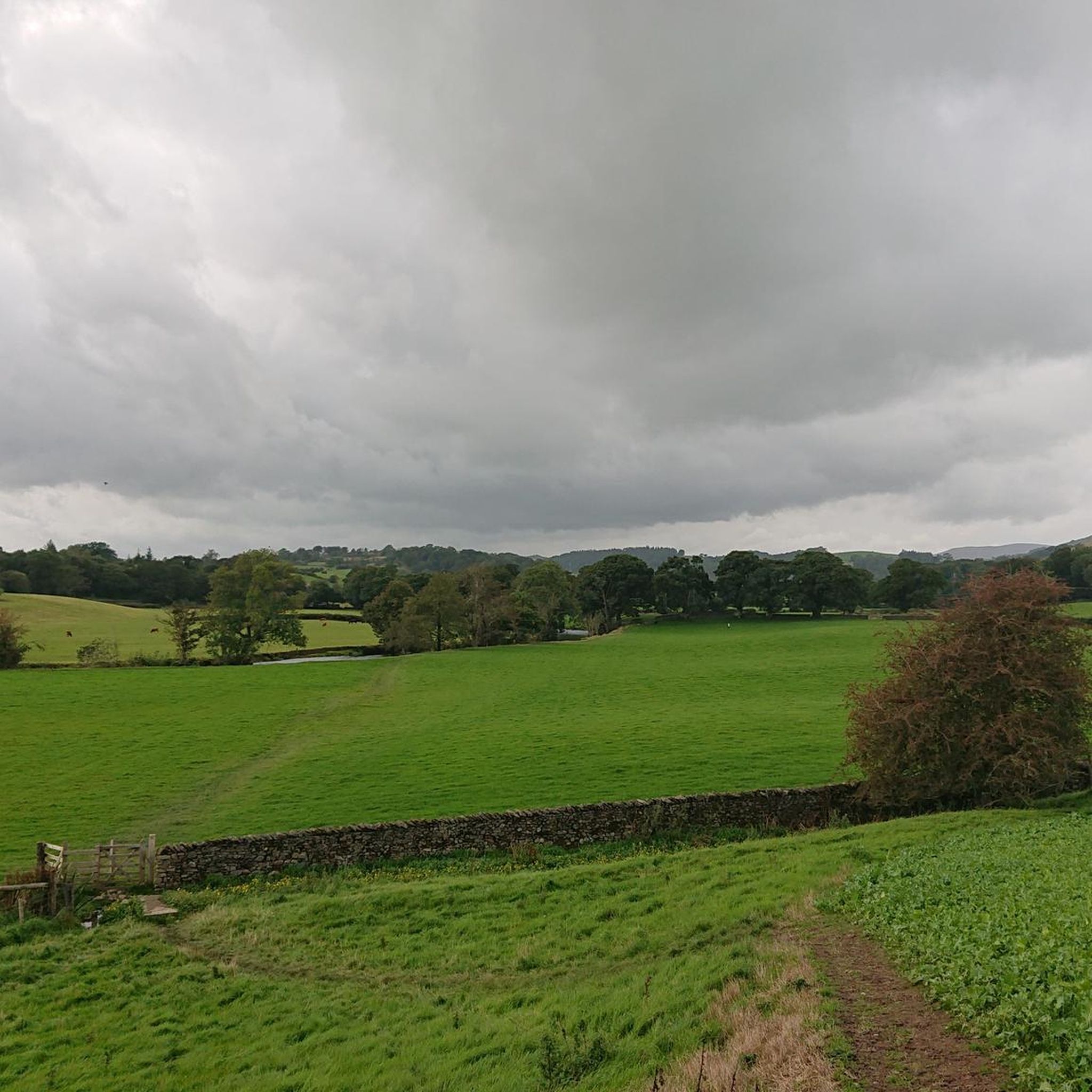
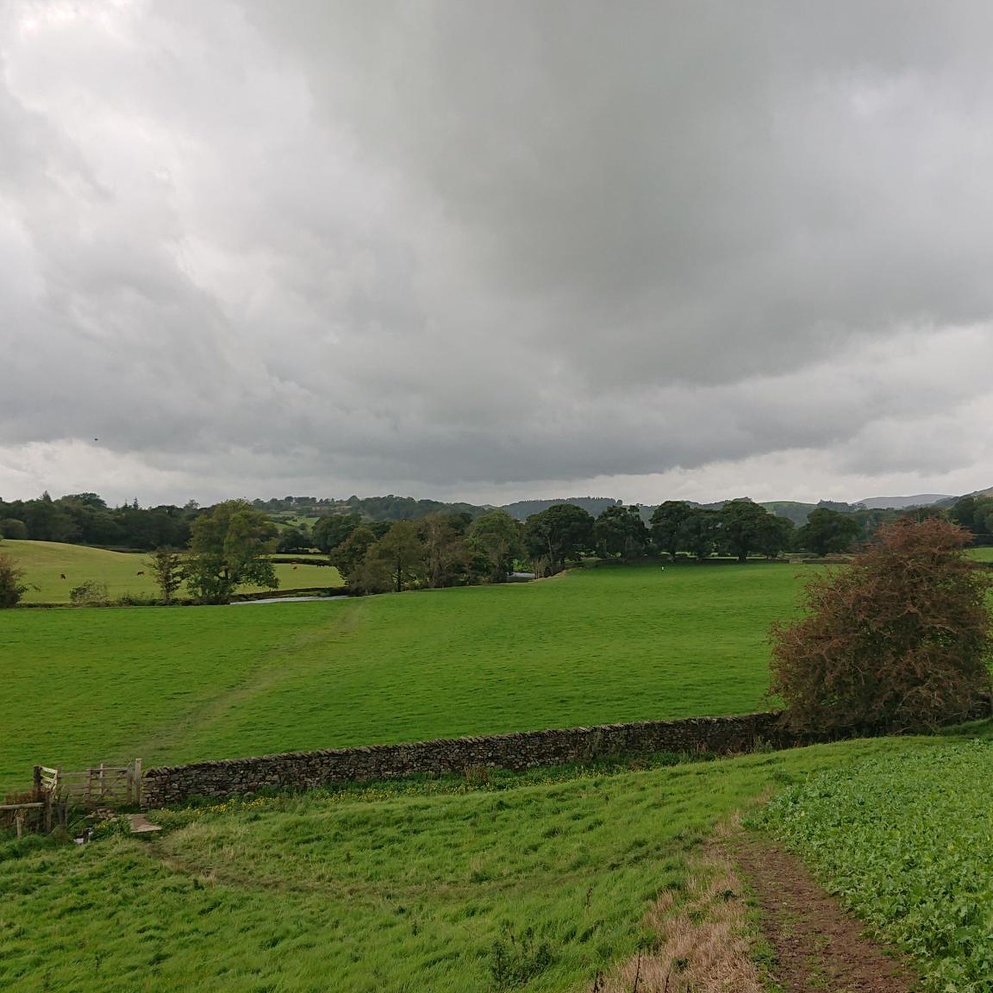
Hiking around Skelsmergh And Scalthwaiterigg offers diverse landscapes characterized by picturesque meadows, rolling hills, and tranquil rivers like the River Mint. The region features elevated points providing panoramic views of the surrounding fells and lakes, including School Knott and Scout Scar. Glacial formations, such as erratics, and wooded areas contribute to the varied terrain.
Best hiking trails around Skelsmergh And Scalthwaiterigg
- The most popular hiking route is Gurnal Dubs – Gurnal Dubs Tarn loop from Strickland Roger, a 3.4 miles (5.5 km) trail that takes 1 hour 39 minutes to complete. This easy route is popular for its scenic path around Gurnal Dubs Tarn.
- Another top favourite among local hikers is Gurnal Dubs – Gurnal Dubs Tarn loop from Garnett Bridge, an easy 4.1 miles (6.6 km) path. This trail winds through meadows and offers views of the tranquil tarn.
- Local hikers also love the Whiteside Pike Cairn – Todd Fell loop from Selside, an 11.6 miles (18.7 km) trail leading through elevated fells, often completed in about 5 hours 35 minutes.
- Hiking around Skelsmergh And Scalthwaiterigg is defined by rolling hills, riverside paths, and panoramic views of fells. The network offers options for various ability levels, from easy strolls to challenging ascents.
- The routes in Skelsmergh And Scalthwaiterigg are highly rated by the komoot community with an average score of 4.6 stars from over 1000 reviews. More than 11000 hikers have used komoot to explore Skelsmergh And Scalthwaiterigg's varied terrain.
Last updated: October 21, 2026
5.0
(2)
29
hikers
Easy hike. Great for any fitness level. Easily-accessible paths. Suitable for all skill levels.
4.5
(2)
27
hikers
Easy hike. Great for any fitness level. Easily-accessible paths. Suitable for all skill levels.

4.0
(2)
14
hikers
14.1km
04:12
420m
420m
Moderate hike. Good fitness required. Easily-accessible paths. Suitable for all skill levels.
7
hikers
12.1km
03:35
350m
350m
Moderate hike. Good fitness required. Easily-accessible paths. Suitable for all skill levels.
10
hikers
14.4km
04:18
440m
440m
Moderate hike. Good fitness required. Easily-accessible paths. Suitable for all skill levels.
Get access to more routes and recommendations from other explorers.
Already have an account?
Our route recommendations are based on thousands of hikes, rides, and runs completed by other people on komoot.
Start today with a free account
Your next adventure awaits.


Tips from the Community


As of April 2025 the trailer is no longer at this location. Guess it may return in summer though.
1
0

Tenter Howe 267.0m P14.5 Unclass Trig Station 874ft
0
0
I’ve walked routes past here in all different weather over the years, it’s steep going up from the Bowston end but not too bad via the Longsleddale Road end. Going down from the tarn takes a winding route that either passes Craggy Woods or passes a small farm shop that links to footpaths down to Staveley.
2
0

Frequently Asked Questions
How many hiking trails are available in Skelsmergh And Scalthwaiterigg?
Skelsmergh And Scalthwaiterigg offers a wide selection of hiking opportunities, with over 460 routes to explore. These range from easy strolls through picturesque meadows to more challenging ascents across the fells.
Are there easy hiking trails suitable for beginners or families?
Yes, the region has plenty of easy trails. For a pleasant and accessible walk, consider the Gurnal Dubs – Gurnal Dubs Tarn loop from Strickland Roger, which takes you around the tranquil tarn. Another gentle option is the Thirlmere Aqueduct Bridge loop from Kendal, offering a relatively flat path suitable for most abilities.
What kind of views can I expect on hikes in Skelsmergh And Scalthwaiterigg?
Hikers can enjoy diverse and stunning views. Elevated points like School Knott offer panoramic vistas down to Windermere and across the fells of the Lake District. The Mushroom on Scout Scar is another notable viewpoint providing sumptuous views of the Lakeland skyline.
Are there any challenging hikes for experienced walkers?
For those seeking a more strenuous adventure, the region provides challenging routes. The Whiteside Pike Cairn – Todd Fell loop from Selside is an 11.6-mile trail leading through elevated fells, often taking over five hours to complete and requiring good fitness.
Are there circular walking routes available?
Yes, many routes in Skelsmergh And Scalthwaiterigg are circular, allowing you to start and finish at the same point. The Gurnal Dubs – Gurnal Dubs Tarn loop from Garnett Bridge is a popular easy circular path winding through meadows. The historic Skelsmergh Circuit also offers an 8.4-mile loop exploring the township's borders.
What natural features or landmarks can I see while hiking?
The landscape is rich with natural and historical features. You might encounter fascinating geological formations like glacial erratics, picturesque woodlands, and the tranquil River Mint. Notable landmarks include the Thirlmere Aqueduct and Watchgate Waterworks, showcasing the interplay of nature and engineering. You can also visit Sizergh Castle and Gardens for beautiful outdoor spaces.
What do other hikers enjoy most about the trails in Skelsmergh And Scalthwaiterigg?
The trails in Skelsmergh And Scalthwaiterigg are highly regarded by the komoot community, with an average rating of 4.6 stars from over 1,000 reviews. Hikers frequently praise the diverse terrain, from rolling hills and riverside paths to panoramic views of the fells, and the variety of options suitable for all ability levels.
Are there any hikes that pass by water features like rivers or tarns?
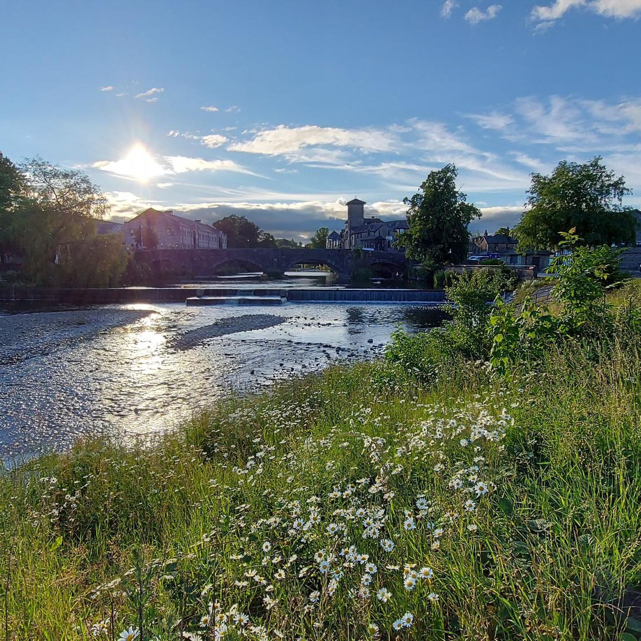
Absolutely. The River Mint forms a natural boundary within the parish, offering pleasant riverside paths. The Gurnal Dubs – Gurnal Dubs Tarn loop from Strickland Roger specifically takes you around the scenic Gurnal Dubs Tarn, providing lovely water views.
Can I find information about local walks from other sources?
Yes, for additional local walking information and community insights, you can visit the Skelsmergh And Scalthwaiterigg Parish Council website at skelsmerghandscalthwaiterigg-pc.gov.uk.
What is the best time of year to go hiking in this region?
The Cumbrian countryside is beautiful year-round. Spring brings vibrant flowers to wooded areas, while summer offers longer daylight hours for extended hikes. Autumn provides stunning foliage, and even winter can be rewarding for experienced hikers, though conditions may be more challenging on higher fells.
Are there any shorter, easy walks for a quick outing?
For a shorter, easy walk, consider the Thirlmere Aqueduct Bridge loop from Skelsmergh and Scalthwaiterigg. This route is just over 4 kilometers and offers a gentle experience, perfect for a quick escape into nature.
Most popular routes around Skelsmergh And Scalthwaiterigg
Most popular attractions around Skelsmergh And Scalthwaiterigg

Get inspired with the komoot mobile app


Explore more
Browse the best Hikes in other regions.
