The best walks and hikes around Stowe
4.2
(166)
895
hikers
17
hikes
Hikes around Stowe VT are set within the Green Mountains, offering a landscape defined by forested hills, mountain passes, and Vermont's highest peak, Mount Mansfield. The terrain provides a mix of gentle, paved greenways like the Stowe Recreation Path and more demanding ascents to viewpoints and mountain ponds. The area's trail network follows rivers to waterfalls and climbs through dense woodlands of sugar maple and evergreen trees.
Best hiking trails around Stowe
- The most popular hiking route is Kinsley Wood & Cwm-Sanaham Hill loop from Knighton — Shropshire Hills, a 10.8 mile (17.4 km) trail that takes around 5 hours 10 minutes to complete. This is a challenging route with significant elevation gain.
- Another top favourite among local hiking enthusiasts is Kinsley Wood to Cwm-Sanaham Hill loop from Knighton, a moderate 8.1 mile (13.0 km) path. The trail involves steady climbs through woodland areas.
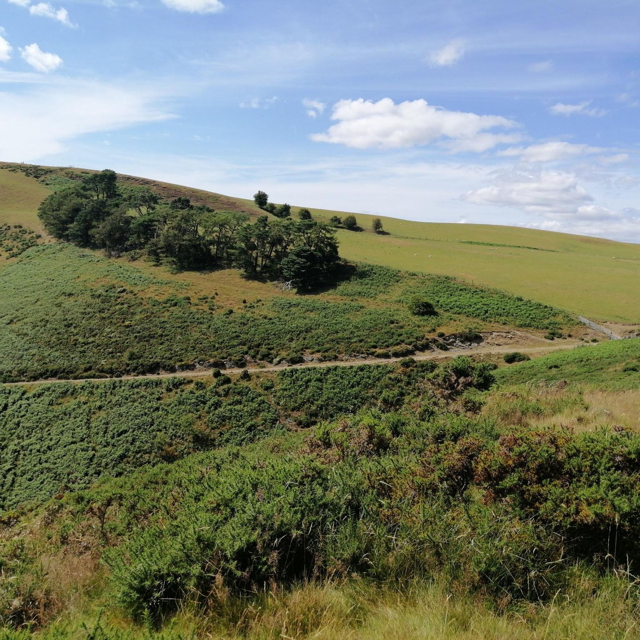
- Local hiking enthusiasts also love the Kinsley Wood loop from Knighton, a 7.9 mile (12.7 km) trail leading through wooded hills, often completed in about 3 hours 45 minutes.
- Hiking around Stowe is defined by ascents to mountain summits, trails to waterfalls like Moss Glen Falls, and paths through forested areas such as Cady Hill Forest. The network includes options for various ability levels, from easy family walks to difficult mountain hikes.
- The routes in Stowe are highly rated by the komoot community with an average score of 4.2 stars from 100 reviews. More than 500 hikers have used komoot to explore Stowe's varied terrain.
Last updated: August 17, 2026
4.6
(5)
16
hikers
17.4km
05:10
500m
500m
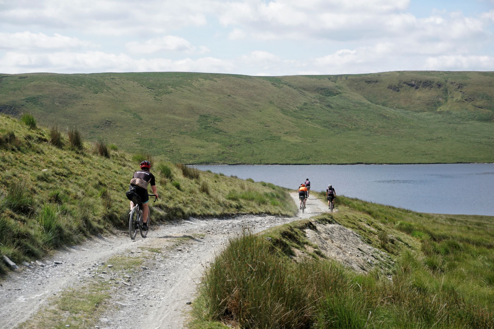
Embark on the Heart of Wales Line and Offa's Dyke Path Loop, a difficult hiking route that challenges you with its relentlessly hilly and diverse landscape. This demanding trail covers 10.8 miles (17.4 km) and features a significant elevation gain of 1638 feet (499 metres), typically taking around 5 hours and 10 minutes to complete. You will experience wide-ranging views across Welsh mountains and English lowlands, traversing majestic woodlands, peaceful farmlands, and open moorland. Keep an eye out for the panoramic vistas from Kinsley Wood, offering a true sense of the region's varied terrain. The route's significant ascents and descents will test your fitness as you explore this historic borderland.
Planning your hike on this difficult loop requires preparation. Sturdy footwear and appropriate waterproof clothing are essential due to the varied trail conditions you might encounter. Many sections of the Offa's Dyke Path are accessible as
4
hikers
13.0km
03:45
300m
300m
Moderate hike. Good fitness required. Easily-accessible paths. Suitable for all skill levels.

Sign up for free
4.7
(7)
33
hikers
13.0km
03:52
360m
360m
Moderate hike. Good fitness required. Easily-accessible paths. Suitable for all skill levels.
4.8
(5)
22
hikers
8.88km
02:49
330m
330m
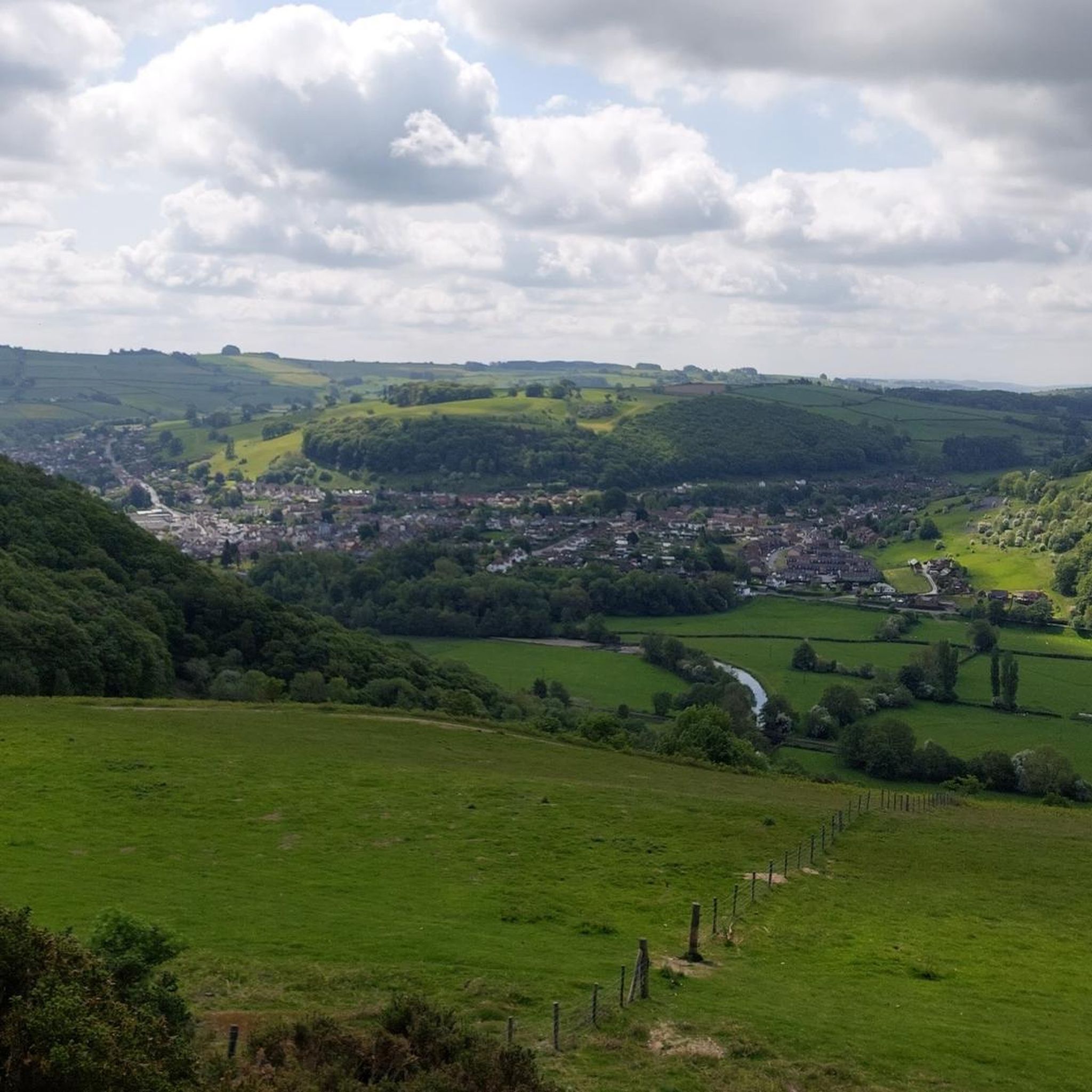
Moderate hike. Good fitness required. Easily-accessible paths. Suitable for all skill levels.
4.6
(5)
26
hikers
8.35km
02:41
330m
330m
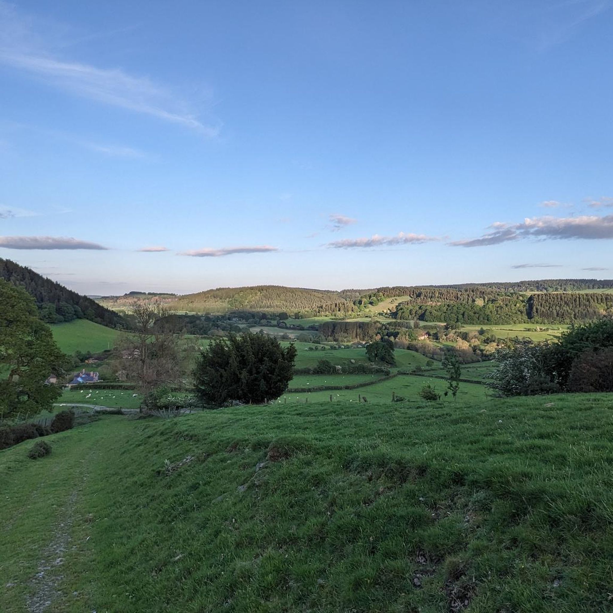
Moderate hike. Good fitness required. Easily-accessible paths. Suitable for all skill levels.
Get access to more routes and recommendations from other explorers.
Sign up for free
Already have an account?
Our route recommendations are based on thousands of hikes, rides, and runs completed by other people on komoot.
Start today with a free account
Your next adventure awaits.
Login or Signup


Other adventures around Stowe

Tips from the Community

This is the start point of the Glyndŵr's Way National Trail which winds through mid-Wales and ends at Welshpool. It's not as popular a trail as Offa's Dyke which is the main reason you'll meet other hikers here in Knighton.
1
0

Knighton is a beautiful border market town and is unique in being the only town to sit astride Offa's Dyke national footpath. It is also notable as the starting point of Glyndwr's Way, following the route of the Welsh leader's significant battles. It is also a mecca for border cyclists and there are plenty of routes to navigate the surrounding hills and stunning countryside.
1
0

Cwm-Sanaham is an elevated hilltop located near Knighton in Shropshire. From this vantage point, you can enjoy wonderful panoramic views of the surrounding countryside across rolling hills, meandering streams and picturesque landscapes.
2
0

Located close to the Anglo-Welsh border and skirted by Offa's Dyke, this enchanting wooded hill is dominated by larch and Douglas fir, planted in the 1950s to replenish timber stores in Britain after WWII. There's a wealth of trails and forest roads to explore on foot. It's an enjoyable place to visit at any time of year, but in the autumn the initials 'ER' appear on the wooded slopes, an arrangement planted in 1953 to celebrate Queen Elizabeth's coronation.
1
0


Before I tell you about the most amazing views on top of Cwm-Sanaham Hill, I want to explain about how I got to the trig point so that you can follow what I did. Firstly, there is a steep ascent up the hill which can be very tough, so it's best if you are prepared if you're tackling it. What I did was that I charged straight up the steep pathway to which I found myself on a very narrow ledge. You can take your time when walking up that first section of footpath. There is even a shear drop down below, so I walked along the path slowly and carefully. Secondly came the easier part, which was when I saw the trig point straight up ahead with the path still visible to follow. After I went past the narrow ledge, the path was then more grassy, which made things a lot more straightforward. There was no more drops to worry about, but instead the path was more even. Eventually, I arrived at the top of the hill where the trig point was located. I was then met with the most beautiful views I had ever seen, which stretched from Knighton all the way to nearby Knucklas and the rest of the Welsh valleys. It was also where I had my lunch, which was quite a relief after all the hill climbing I did. Cwm-Sanaham Hill is 406m high and it's the perfect vantage point to see some of the most glorious views in that part of Wales.
2
0

Experience from summer 2019: I wouldn't call the town a highlight anymore, vlt. once it was. In the meantime, it looks partly run down, many shops are closed and restaurants are scarce. It is simply because of the hiking trail Offa's Dike and you therefore have to get through here. I cannot recommend more than a stop-over-night here.
1
0

Knighton is a market town with winding streets and half-timbered houses. There is evidence of human settlement at Knighton since the Stone Age, but the town you see today is mostly of medieval origin. The Welsh name for the town is ‘Tref-y-Clawdd’, which means ‘town on the Dyke’, and Knighton is the only town to lie on the line of Offa’s Dyke, a large linear earthwork along the England and Wales border named after Offa, the Anglo-Saxon king of Mercia from AD 757 until 796, who is believed to have ordered its construction. As such, it is the spiritual home of Offa and the Offa’s Dyke National Trail.
3
0
Frequently Asked Questions
What are some easy, family-friendly hikes in the Stowe area?
For a very gentle outing, the Stowe Recreation Path is a paved greenway suitable for all ages. Another excellent choice is Kinsley Wood loop from Knighton, which offers a pleasant walk through the woods. For a true woodland experience with minimal elevation gain, locals often recommend the trails at Wiessner Woods, which are well-suited for family hikes.
Are there any hikes that lead to a waterfall?
Yes, Stowe has several waterfall hikes. A popular and accessible option is the trail to Bingham Falls, which features a short but steep path down to a beautiful gorge and cascading falls. Another well-known hike leads to Moss Glen Falls, Vermont's tallest waterfall, via a relatively easy trail.
What are some of the most challenging day hikes near Stowe?
For experienced hikers seeking a strenuous challenge, the trails on Mount Mansfield are a top choice. The Hell Brook Trail is known for being one of the steepest and most rugged ascents in Vermont. For a long and demanding day out, consider the Kinsley Wood & Cwm-Sanaham Hill loop from Knighton — Shropshire Hills, a difficult route with significant elevation gain that will test your endurance.
Are dogs allowed on the hiking trails in Stowe?
Many trails in the Stowe area are dog-friendly, but leash regulations can vary. Places like Cady Hill Forest and the Stowe Recreation Path are generally welcoming to dogs. However, some natural areas, especially the fragile alpine zone on Mount Mansfield, have stricter rules. It's always best to check the specific regulations for the trail you plan to hike beforehand.
Can I get to any trailheads using public transport?
Stowe's Mountain Road Shuttle is a free bus service that runs along the main road between the village and Stowe Mountain Resort. This shuttle provides access to several trailheads located along this corridor, including those for Bingham Falls and some approaches to Mount Mansfield. Check the shuttle's seasonal schedule for operating times.
What are some good circular hikes in the area?
Stowe offers many great loop trails. For a moderately challenging option with rewarding views, the Kinsley Wood to Cwm-Sanaham Hill loop from Knighton is a fantastic choice that takes you through beautiful woodland. Another popular loop is the Stowe Pinnacle Trail, which provides one of the most iconic viewpoints in the region.
Where can I find good views without a difficult climb?
The short hike to Sunset Rock offers a fantastic panoramic view over Stowe village and toward Mount Mansfield. For a different perspective, the Mill Trail is a highly-regarded walk, especially during foliage season, that provides beautiful scenery without significant elevation gain. You can also drive the Auto Toll Road up Mount Mansfield for summit views without the hike.
What is hiking in Stowe like during the winter?
Winter hiking in Stowe is a popular activity, but it requires preparation. Many trails, like those in Wiessner Woods and Cady Hill Forest, are excellent for snowshoeing. Trails become icy and snow-packed, so traction devices like microspikes are essential. Always check weather and trail conditions before heading out, as conditions can change rapidly in the mountains.
Are there any good spots for mountain biking as well as hiking?
Yes, Cady Hill Forest is a prime destination for both. It features an extensive network of multi-use trails that are very popular with mountain bikers, offering routes for various skill levels. While it's a hub for biking, the trails are also great for a walk or trail run through the woods.
What do other hikers enjoy most about the trails around Stowe?
The trails around Stowe are highly rated by the komoot community. Hikers frequently praise the variety of the terrain, from the dramatic cliffs of Smugglers' Notch to the serene woodland paths. The accessibility of stunning viewpoints and beautiful natural features like waterfalls and mountain ponds are also commonly highlighted.
Is there a hike that leads to a pond or lake?
The hike to Sterling Pond is a classic Stowe experience. It's a moderately challenging trail that climbs to a beautiful pond nestled high in the mountains near Smugglers' Notch. It's one of the few mountain-top ponds in Vermont and a great spot for a scenic break or a cool dip in the summer.
Where are the main places to go hiking in Stowe?
Stowe's hiking is centered around several key areas. Mount Mansfield, the state's highest peak, offers the most challenging routes. Smugglers' Notch State Park has trails with dramatic cliffside scenery. For woodland walks, locals favor places like:
- Cady Hill Forest: A popular multi-use trail network close to the village.
- Wiessner Woods: A conservation area known for its gentle, family-friendly trails.
- Pinnacle Meadows: The starting point for the rewarding hike up to the Stowe Pinnacle viewpoint.
Most popular attractions around Stowe

Get inspired with the komoot mobile app


Explore more
Browse the best Hikes in other regions.
