The 13 Most Amazing Peaks around Sommerkahl
Best mountain peaks around Sommerkahl are found within the Spessart low mountain range in Bavaria, Germany. This region features rolling hills and elevated areas that provide scenic views and opportunities for outdoor activities. While not alpine, these elevations are integral to the natural landscape of Sommerkahl. The area offers a blend of natural beauty, hiking experiences, and historical insights.
Best mountain peaks around Sommerkahl
- The most popular mountain peaks is Hufeisen Forest Junction, a forest junction that serves as…
Last updated: October 10, 2026
Hufeisen Forest Junction
Highlight • Forest
From here it goes in all possible directions
Translated by Google •
Tip by

Franzosenkopf (481 m)
Highlight • Summit
Translated by Google •
Tip by
Sign up now to discover places like this
Get recommendations on the best single tracks, peaks, & plenty of other exciting outdoor places.
Steinknückl Summit
Highlight • Summit
Translated by Google •
Tip by

Ringwork on the Reuschberg
Highlight • Historical Site
Translated by Google •
Tip by

Erkelshöhe – Highest Point of Wiesen
Highlight • Summit
Translated by Google •
Tip by

Sign up for free to discover even more peaks around Sommerkahl.
Already have an account?
Start today with a free account
Your next adventure awaits.
Tips from the Community

From Steiger, the climb is quite steep. If you want to sign the summit register, you have to climb up.
2
0

 Steinknückl Mountain in the Spessart in Bavaria The Steinknückl, also known as the Steinknückel, is a 417-metre-high hill in the Spessart.[1] The wooded mountain is located in the Bavarian district of Aschaffenburg, directly on hiking trail 31 of the Spessart Association. It is located in the Weilerwald forest, about 1.7 km south of Laufach and about 2 km north of Waldaschaff. The Steinknückl is known for its strikingly tall holm oaks on the summit, which give it its name. Since there is a summit book on the top of the mountain, it is a popular destination for hikers and mountain bikers.
1
0

The information board on the Reuschberg provides a lot of information.
4
0

A small sign, placed a little off to the side, still exists. As of today
12
0
And yet quite easy to reach, pure nature included.
14
0

The Erkelshöhe (historically: Mertel) is a 517 m above sea level. NHN high mountain in the Spessart in the Bavarian district of Aschaffenburg and in the Hessian Main-Kinzig district in Germany. The Erkelshöhe lies between the towns of Wiesen and Flörsbach. The state border runs across the summit between the municipality of Flörsbachtal (Hesse) and the unincorporated area of Wiesener Forst (Bavaria). In the southeast, the Erkelshöhe goes flat to the Sauberg (454 m). Both mountains belong to the Sailhöhe ridge stretching towards Wiesthal. West of the summit, about a kilometer away, is the village of Wiesen im Aubachtal; on the south-eastern slopes is the town of Mosborn on the upper reaches of the Laubersbach. North of the mountain are the Wiesbüttsee and the Wiesbüttmoor. The Franconian Marienweg leads over the Erkelshöhe. Source: Wikipedia
3
0

Very nice place in the forest. Great.
14
0
Great trail, all nature. fantastic
23
0
Frequently Asked Questions
What are some of the most popular elevated areas to explore around Sommerkahl?
Visitors frequently enjoy the Hufeisen Forest Junction, which serves as a central point for various trails and offers a nice break area with plenty of seating. Another popular spot is Franzosenkopf (481 m), known for its pure nature and ease of access. The Steinknückl Summit is also a favorite, especially for its summit book.
Are there family-friendly elevated areas or trails in Sommerkahl?
Yes, the Steinknückl Summit is considered a great hiking destination and is very suitable for children due to its summit stone and the presence of a summit book. The Hufeisen Forest Junction also offers a pleasant, family-friendly break area.
Where can I find the best scenic viewpoints in the Sommerkahl region?
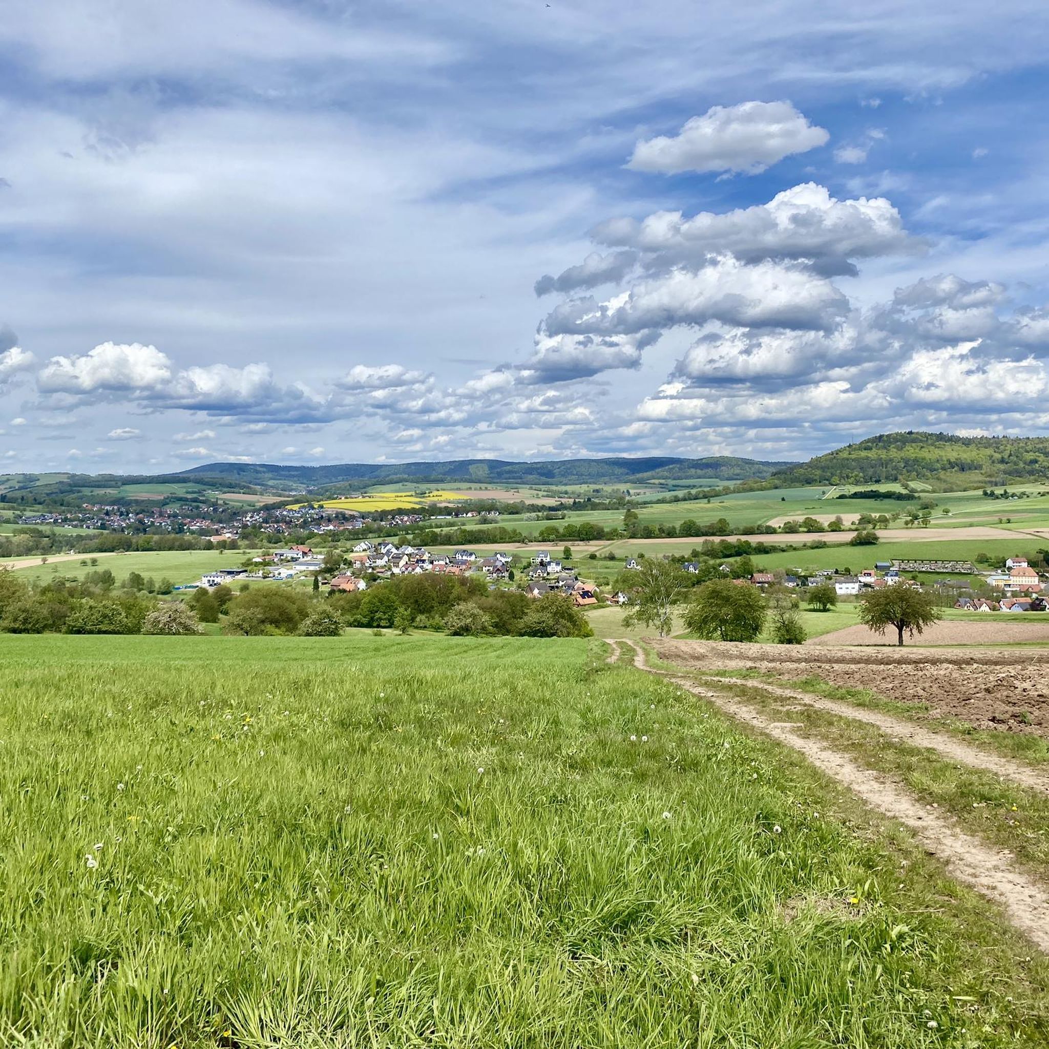
For panoramic vistas, the Rodfeldturm Observation Tower is highly recommended, offering views as far as the Taunus mountains and Ronneburg Castle. Elevated areas like Franzosenkopf (481 m) and Erkelshöhe – Highest Point of Wiesen also provide excellent views over the Spessart landscape. Additionally, trails around the Speckkahl Amphibian Refuge Area offer magnificent views over the Spessart foothills.
What kind of hiking experiences can I expect around Sommerkahl?
Sommerkahl offers diverse hiking experiences through rolling hills and elevated areas. Trails range from moderate inclines, such as those leading to Heidberg – unterhalb Engländer (368 m), to more challenging paths like the steep ascent to the Ringwork on the Reuschberg. Many routes feature pure nature, forest paths, and scenic viewpoints. You can find various hiking routes in the Hiking around Sommerkahl guide.
Are there historical sites or cultural attractions near the elevated areas of Sommerkahl?
Yes, the region has a rich history. The Ringwork on the Reuschberg is a historical site with an information board detailing its past. The Grube Wilhelmine (Wilhelmine Copper Mine) is a significant historical mining site, active since 1542, where you can explore preserved tunnels and learn about the area's mining heritage. A nature trail, 'Rund um die Wilhelmine,' explores the charming environment around the mine, highlighting the interaction between nature and centuries of human activity.
What natural features can be explored in the Sommerkahl area?
The Sommerkahl region, part of the Spessart low mountain range, is characterized by rolling hills, dense forests, and elevated areas. Notable natural features include the Speckkahl Amphibian Refuge Area, which is a prominent natural feature with diverse scenery. The landscape around the Grube Wilhelmine also showcases crystalline bedrock of Muskovit Biotit Gneiss, formed during the Variscan orogeny.
What do visitors enjoy most about the elevated areas around Sommerkahl?
Visitors particularly appreciate the pure nature and varied hiking experiences. Many enjoy the well-maintained break areas, such as the Hufeisen Forest Junction, and the rewarding views from spots like the Rodfeldturm Observation Tower. The unique experience of finding a summit book, as found at Steinknückl Summit, is also a highlight for many.
What other outdoor activities can I do near the elevated areas of Sommerkahl?
Beyond hiking, Sommerkahl offers opportunities for running and road cycling. You can find various routes in the Running Trails around Sommerkahl guide and the Road Cycling Routes around Sommerkahl guide. These guides provide options for different difficulty levels, allowing you to explore the region's natural beauty on two wheels or by foot.
Are there any specific trails that offer a mix of nature and history?
Yes, the 'Naturlehrpfad ‘Rund um die Wilhelmine’' is a nature trail that explores the charming environment around the Grube Wilhelmine (Wilhelmine Copper Mine). This trail highlights the interaction between nature and centuries of human activity, including agriculture and mining, offering both scenic beauty and historical insights into the region's past.
What is the highest point in the immediate vicinity of Sommerkahl?
The Erkelshöhe, at 517 meters above sea level, is the highest point in the Wiesen district, which is near Sommerkahl. It offers a typical Spessart mixed forest environment and views over the surrounding area.
Can I find trails with moderate inclines suitable for a relaxed outing?
Yes, many trails in the Sommerkahl area feature moderate inclines. For example, the 'Sommerkahl winter hike to the Engländer' trail leads along the Bartschweg with views towards the Speckkahl amphibian refuge and continues to the Engländer forester's lodge, passing the Heidberg (368 m). This offers varied hiking experiences with manageable ascents.
Most popular routes around Sommerkahl
Most popular attractions around Sommerkahl

Get inspired with the komoot mobile app


Explore more
See even more amazing summits around Sommerkahl with these guides:
