The 9 Most Amazing Peaks around Milfield
Mountain peaks around Milfield are situated within Northumberland, England, characterized by gentle hills, river valleys, and woodlands. The region offers elevated points with historical significance and panoramic views. These areas provide opportunities for hiking and experiencing the natural landscape. The broader Cheviot Hills are also accessible from the Milfield area.
Best mountain peaks around Milfield
- The most popular mountain peaks is Yeavering Bell summit and hillfort, a historical_site that features the largest Iron Age hillfort in the region. Visitors…
Last updated: October 7, 2026
Yeavering Bell summit and hillfort
Highlight • Historical Site
Tip by

Humbleton Hill Iron Age Fort
Highlight • Viewpoint
Tip by

Sign up now to discover places like this
Get recommendations on the best single tracks, peaks, & plenty of other exciting outdoor places.
Cold Law Trig Point
Highlight • Viewpoint
Tip by
Gains Law Summit
Highlight • Trail
Tip by
View of Humbleton Hill
Highlight • Viewpoint
Tip by
Sign up for free to discover even more peaks around Milfield.
Already have an account?
Start today with a free account
Your next adventure awaits.
Tips from the Community

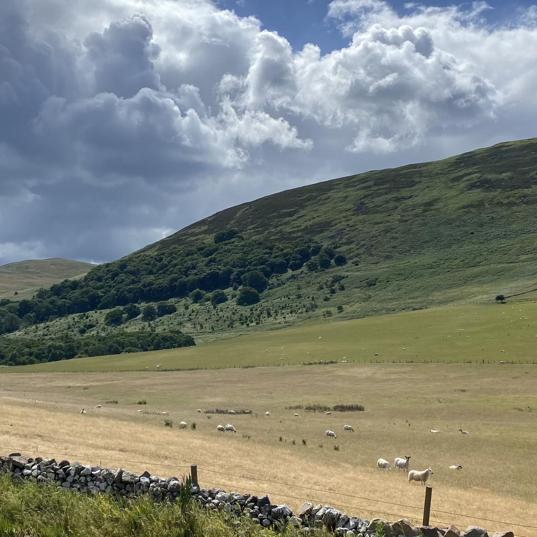
Gains Law 319.2m P28.0 (1047ft) (Hill ID: 504124) [JNSA 12707] Northumberland National Park Definitive List summit. County of Northumberland Definitive List summit. TP3287 - Gains Law S7469 FB Height: 319.125m #1003 Northumberland National Park Trig Pillar List. County of Northumberland Trig Pillar List.
0
0
Humbleton Hill 298m P59 (978ft) (DoBIH Hill ID: 15993) [JNSA 13550] Northumberland National Park Definitive List summit. County of Northumberland Definitive List summit.
0
0

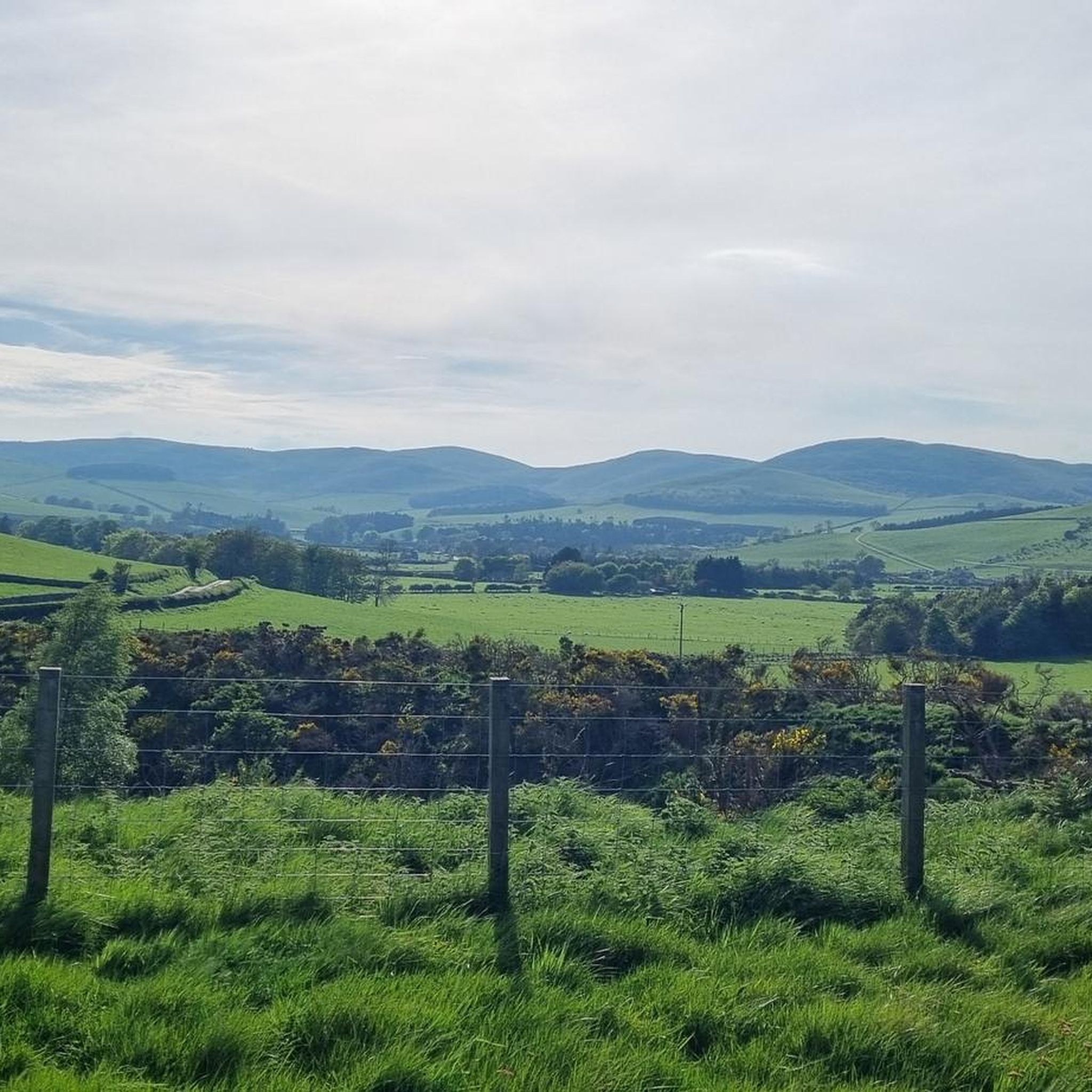
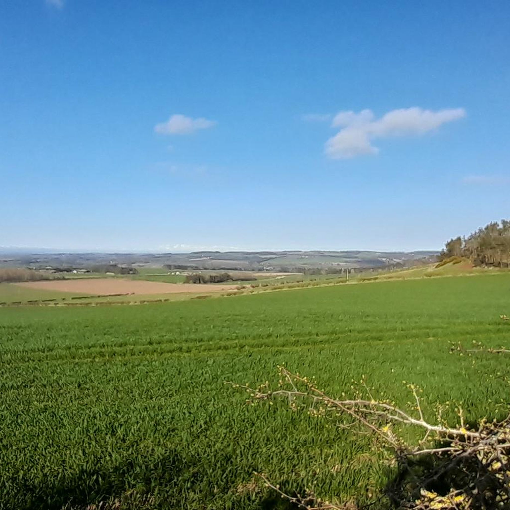
A delightful view of the barren but beautiful raw top of Humbleton Hill with the brooding tops of the main Cheviot hills dotting the surrounding skyline.
0
0
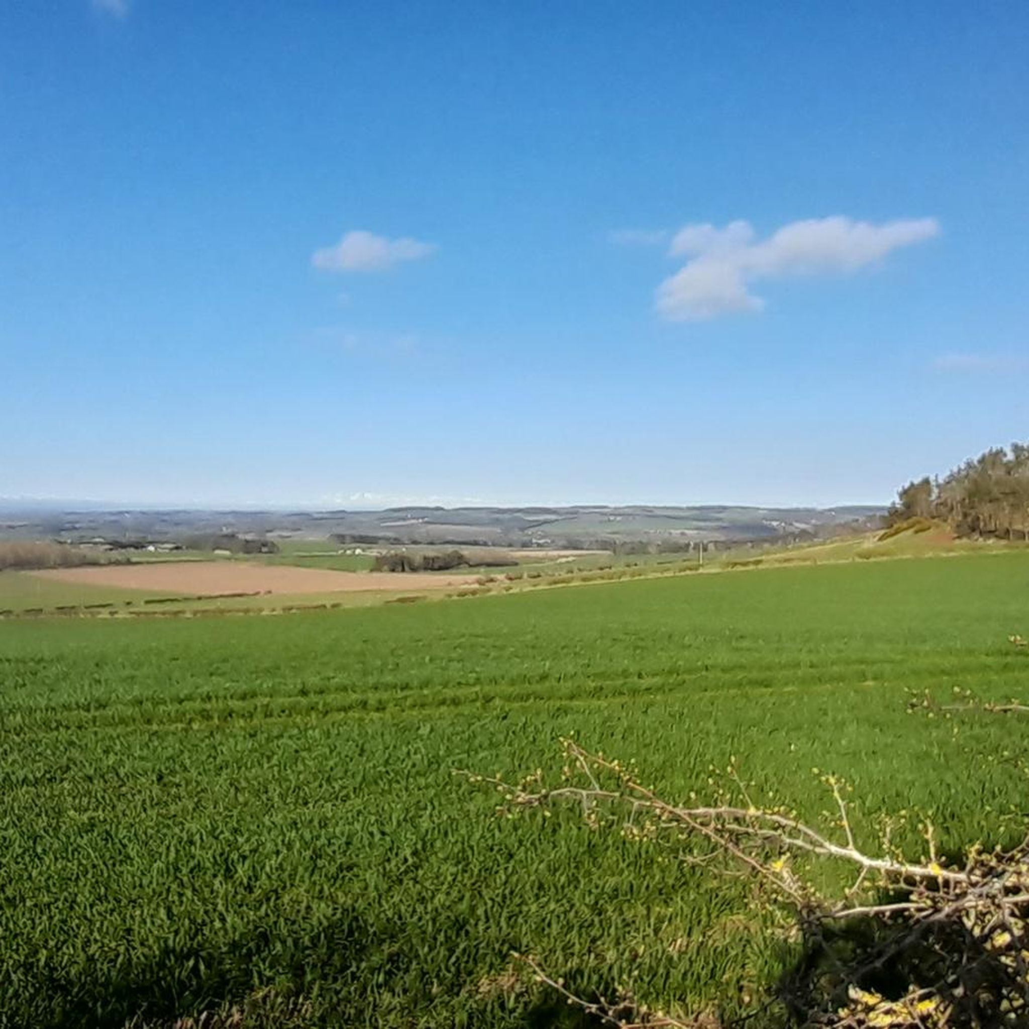
On a clear day, the panoramic views from the top of Humbleton Hill are superb. With steep slopes all around, it is easy to see why our Iron Age ancestors chose this particular spot to build a hillfort, overlooking the low-lying Milfield Plain and the North Sea beyond.
2
0
This is the trig point called Harbottle sitting on top of Cold Law (361m). There is also a stone cairn nearby.
0
0
The impressive iron age fort atop Humbleton Hill offers commanding views over Glendale from its prominent location on the edge of the Cheviots – a fine defensive site, though surely often a windswept one. The 300-metre summit is a short and straightforward ascent from nearby Wooler.
2
0


Frequently Asked Questions
What are some of the most notable mountain peaks to explore around Milfield?
Milfield is surrounded by gentle hills offering significant experiences. Two of the most notable peaks are Yeavering Bell summit and hillfort, known for its Iron Age hillfort and spectacular views, and Humbleton Hill Iron Age Fort, which provides commanding views over the Glendale area. Another popular spot is Cold Law Trig Point, offering views from its 361-meter summit.
What historical sites can I find on the mountain peaks near Milfield?
The Milfield area is rich in history, particularly Iron Age hillforts. Yeavering Bell hosts the largest Iron Age hillfort in the region, with remains of over 100 roundhouses. Similarly, Humbleton Hill features an impressive Iron Age fort, strategically located with commanding views over the Milfield Plain.
Are there any unique natural features or wildlife to look out for on Milfield's peaks?
Yes, on Yeavering Bell, you might spot a herd of wild goats, believed to be descendants of goats brought from the Middle East during Neolithic times. The broader Cheviot Hills, accessible from Milfield, are known for their rugged beauty and moorland landscapes, such as Gains Law Summit, which is carpeted in vibrant purple heather in summer.
Are there easy or beginner-friendly mountain walks around Milfield?
Yes, the ascent to the 300-meter summit of Humbleton Hill from nearby Wooler is described as short and straightforward, making it accessible for many. While not all peaks are 'easy', the region's topography generally features gentle hills, offering various options for those new to mountain walking.
What are the typical views from the mountain peaks in the Milfield area?
From peaks like Yeavering Bell and Humbleton Hill, you can expect spectacular panoramic views. On a clear day from Humbleton Hill, you can see across the Glendale area and Milfield Plain, including other prominent peaks like Yeavering Bell, Hedgehope, The Cheviot, The Schil, and the College Valley. Cold Law Trig Point also offers expansive views of the surrounding landscape.
Are the mountain peaks around Milfield suitable for family walks?
Many of the elevated points around Milfield, characterized by gentle hills, offer suitable options for family walks. The straightforward ascent to Humbleton Hill, for instance, is manageable for families, providing historical interest and rewarding views without extreme difficulty.
Can I bring my dog on the trails around Milfield's mountain peaks?
Generally, dogs are welcome on public footpaths and trails in the Milfield area and the Cheviot Hills. However, it's always advisable to keep dogs on a lead, especially near livestock or wildlife, and to follow the Countryside Code. Check specific local signage for any restrictions.
What is the best time of year to hike the Milfield mountains?
The spring and summer months (April to September) generally offer the most pleasant conditions for hiking, with warmer weather and longer daylight hours. However, the moorland summits like Gains Law are rugged and beautiful at all times of year, with vibrant purple heather in summer. Be prepared for changeable weather regardless of the season.
What other outdoor activities can I do near these mountain peaks?
Beyond hiking, the Milfield area offers various outdoor activities. You can find numerous cycling routes, including off-road trails like the 'River Till Off-Road Trail' or road cycling routes such as the 'Wooler Town Centre loop'. There are also running trails, including routes around Humbleton Hill. For more details, explore the Cycling around Milfield or Running Trails around Milfield guides.
Are there circular walks available around the Milfield mountains?
Yes, many routes in the region are designed as circular walks, allowing you to return to your starting point. For example, running trails around Humbleton Hill are often circular. When planning your hike, look for routes that specify a loop to ensure a circular experience.
What do visitors enjoy most about the mountain peaks around Milfield?
Visitors frequently highlight the spectacular panoramic views from summits like Yeavering Bell and Humbleton Hill. The historical significance of the Iron Age hillforts adds an extra layer of interest to the climbs, and the opportunity to experience the region's natural beauty, including the wild goats on Yeavering Bell, is also highly appreciated.
How can I check the current weather conditions for hiking in the Milfield area?
Before heading out, it's always recommended to check a reliable local weather forecast for Northumberland. Websites like the Met Office or BBC Weather provide up-to-date information for the region, which can be particularly useful as weather in elevated areas can change quickly.
Most popular attractions around Milfield

Get inspired with the komoot mobile app


Explore more
See even more amazing summits around Milfield with these guides:
