The best road cycling routes around Gries
4.5
(189)
2,154
riders
153
rides
Road cycling routes around Gries are characterized by dramatic alpine landscapes and significant elevation gains, offering a challenging environment for cyclists. The region features majestic mountains and passes, including routes that connect to historic transit routes like the Brenner Pass. Cyclists can explore diverse routes through picturesque valleys and high-alpine areas, often on well-paved roads.
Best road cycling routes around Gries
- The most popular road cycling route is Kranichwoog Nature Reserve – Gallows Hill Near Schönenberg loop from Gries,…
Last updated: July 8, 2026
4.7
(3)
40
riders
Moderate road ride. Good fitness required. Some segments of this route may be unpaved and difficult to ride.
31
riders
Moderate road ride. Great for any fitness level. Some segments of this route may be unpaved and difficult to ride.

Sign up for free
26
riders
45.5km
02:01
440m
440m
Moderate road ride. Good fitness required. Some segments of this route may be unpaved and difficult to ride.
5.0
(1)
15
riders
47.8km
02:33
600m
600m
Moderate road ride. Good fitness required. Some segments of this route may be unpaved and difficult to ride.
17
riders
62.3km
03:14
1,070m
1,070m
Hard road ride. Very good fitness required. Mostly well-paved surfaces and easy to ride.
Get access to more routes and recommendations from other explorers.
Sign up for free
Already have an account?
Our route recommendations are based on thousands of hikes, rides, and runs completed by other people on komoot.
Start today with a free account
Your next adventure awaits.
Login or Signup
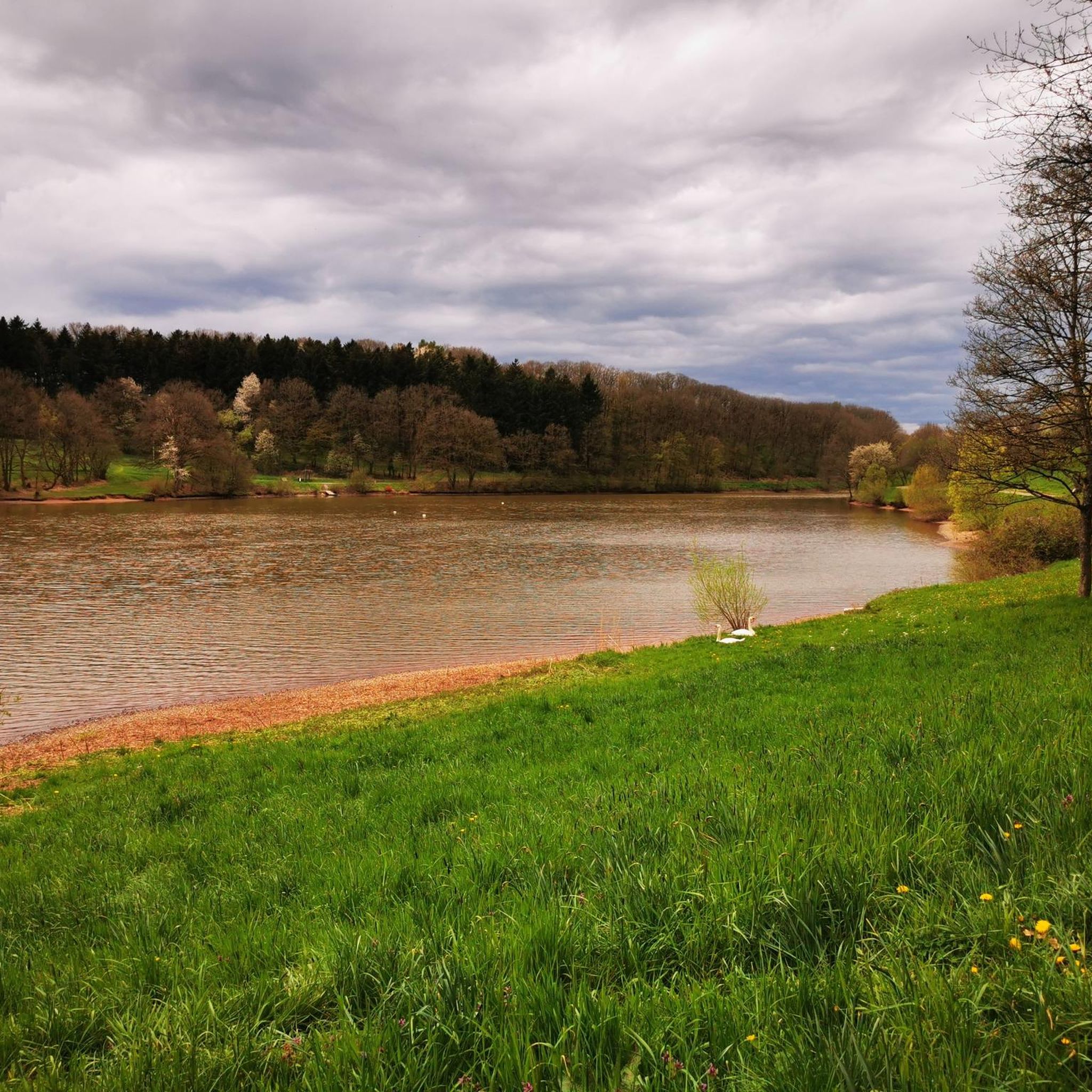
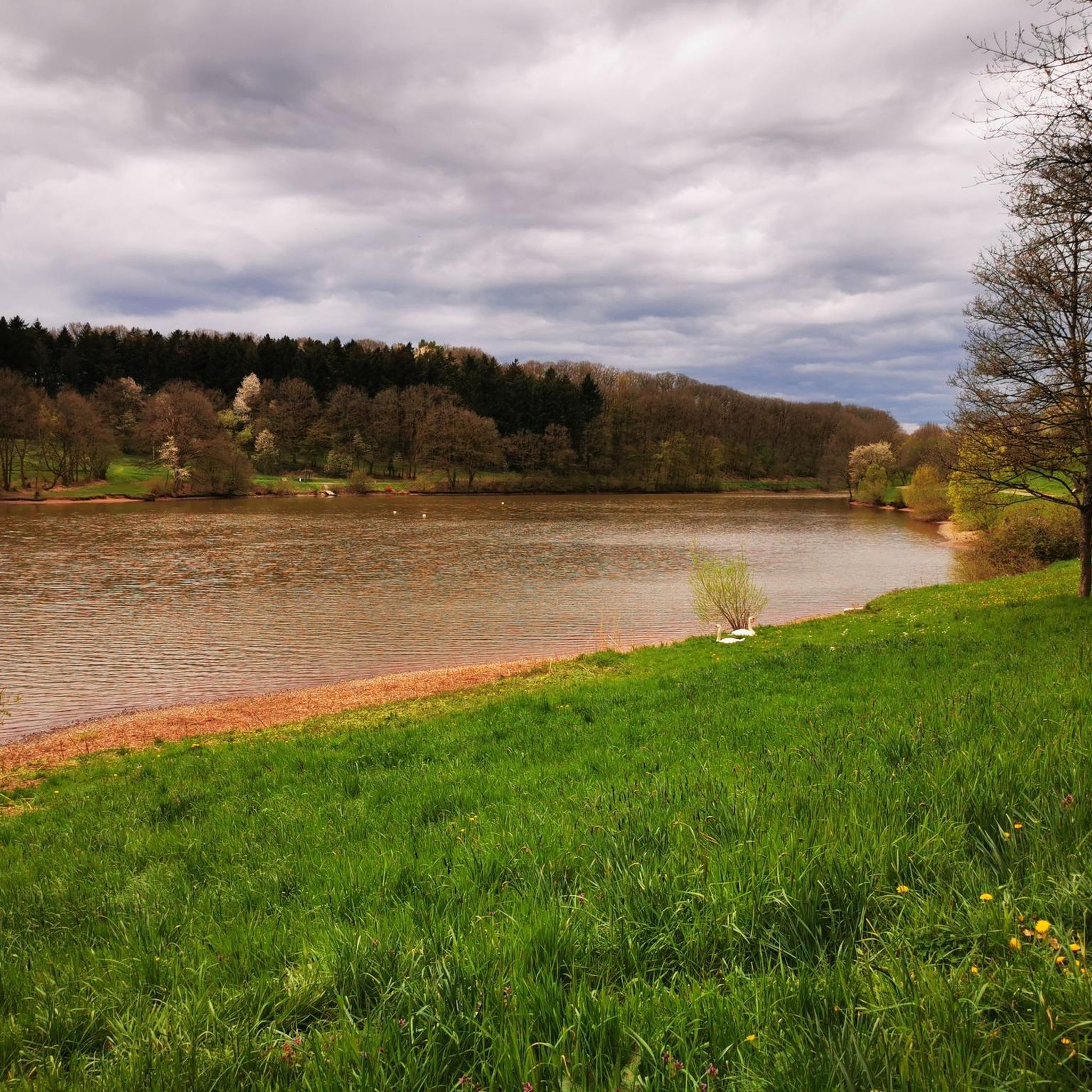
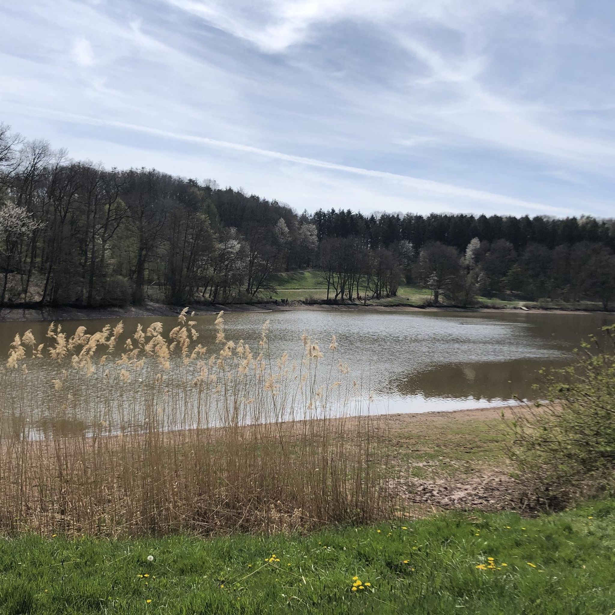
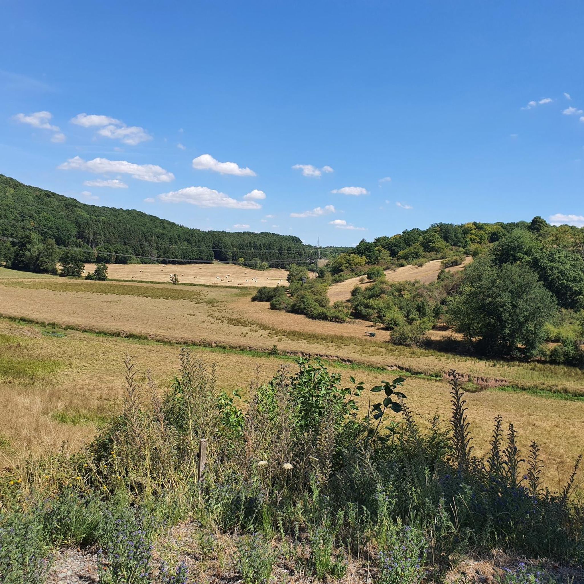
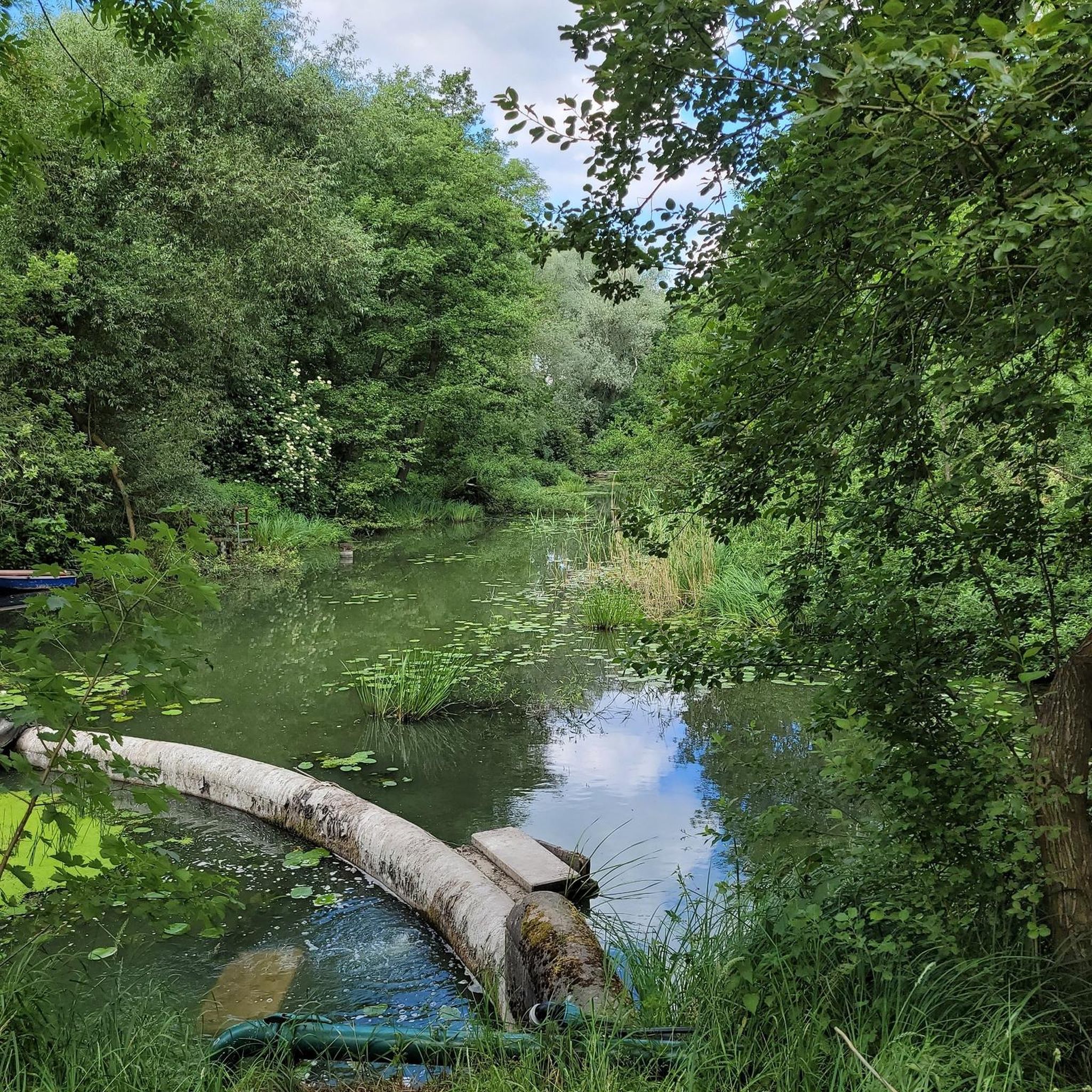
Tips from the Community


Unfortunately the restaurant is closed
1
0

One country road (yellow), a little further on the motorway (blue). Great, absolutely great.
2
1

Former road from Waldmohr to Bruchmühlbach.
0
0

Beautiful villages and great bike paths
0
0

The seating at Elschbach station is private, not public
2
0

Video about ... the Kranichwoog: https://www.youtube.com/watch?v=iJunA2Wzd8M NATURA 2000: https://www.youtube.com/watch?v=PV7o_PIhVyA&t=2s
5
0
The Woog & its history: The Scheidenberger Woog, a large lake, was located in what is now Bruch for centuries. The Glan reservoir was drained in 1770 to dry out the Bruch. The Kranichwoog has only existed since 2019; it was created as part of the land consolidation. NATURA 2000 adventure trail & crane tower: The NATURA 2000 adventure trail has existed since 2024 with some information boards along the way. There are also QR codes; if you scan them, you can listen to Rudi the crane telling stories about the path and nature. The Kranichwoog (crane tower) adventure tower has also existed since 2024. The tower is 24 m high and has 104 steps. More information: https://www.kranichwoog.de/ https://www.nabu-weilerbach.de/unsere-projekte/
6
0
Frequently Asked Questions
What kind of road cycling routes can I expect around Gries?
Gries offers a diverse range of road cycling experiences, from demanding high-alpine circuits with significant elevation gains to more leisurely tours through picturesque valleys. You'll encounter majestic mountains, historic passes like the Brenner Pass, and scenic routes that showcase the dramatic alpine landscapes of Tyrol.
How many road cycling routes are available in Gries?
There are over 150 road cycling routes around Gries documented on komoot, catering to various skill levels. This includes 23 easy routes, 117 moderate routes, and 18 challenging routes for experienced cyclists.
Are there any family-friendly road cycling options in Gries?
While Gries is known for its challenging alpine terrain, there are easier routes available, particularly through valleys. For a moderate option that could suit families with some cycling experience, consider the Kranichwoog Nature Reserve – Gallows Hill Near Schönenberg loop from Gries, which is 33 km long and offers natural landscapes.
What are the difficulty levels of road cycling routes in Gries?
Road cycling routes in Gries range from easy to difficult. You'll find 23 easy routes, 117 moderate routes, and 18 difficult routes. The region's alpine nature means many routes involve significant climbs and descents, with passes like the Kühtai Pass offering strenuous challenges.
What do other cyclists say about road cycling in Gries?
The road cycling routes in Gries are highly rated by the komoot community, with an average score of 4.6 stars from over 175 reviews. Cyclists often praise the breathtaking panoramic views, the challenging yet rewarding climbs, and the immersive experience in nature provided by the tranquil villages and idyllic valleys.
Can I find routes that connect Gries to other major cycling regions?
Yes, Gries is strategically located for extended cycling adventures. Routes can connect you to major cycling hubs like Innsbruck, and even further into South Tyrol in Italy. These longer tours often feature classic Tyrolean mountain landscapes, green meadows, and dramatic peaks.
Are there any natural attractions or landmarks to see along the road cycling routes?
Absolutely! Many routes pass by or near notable natural monuments and historical sites. You might encounter the Elendsklamm gorge, the serene Karlsberg Pond, or the beautiful Karlsberg Spring and Water Cascade. For historical interest, look out for the Orangerie Ruins at Karlsberg or even Jägersburg Castle.
Are there loop routes available for road cycling in Gries?
Yes, many road cycling routes in Gries are designed as loops, allowing you to start and finish in the same location. An example is the Sculpture Trail in Mohrbachtal loop from Nanzdietschweiler, which covers 45.5 km through the valley.
What is the best time of year for road cycling in Gries?
The best time for road cycling in Gries is typically during the warmer months, from late spring to early autumn (May to October), when mountain passes are clear of snow and weather conditions are generally more stable. Always check local weather forecasts, especially for high-alpine routes.
Where can I find parking for road cycling routes in Gries?
Parking availability varies by starting point. Many routes, especially those starting from towns or villages, will have designated parking areas. It's advisable to check the specific route details on komoot for information on parking at the trailhead or nearest accessible point.
Are there any particularly challenging road cycling routes for experienced riders?
Experienced riders seeking a significant challenge will find routes with substantial elevation gains. The region is known for its high-alpine passes. A difficult route to consider is the Föckelberg Descent – View of Potzberg loop from Brücken (Pfalz), which covers over 62 km and features significant climbing.
Most popular attractions around Gries

Get inspired with the komoot mobile app


Explore more
Browse the best Road cycling routes in other regions.
