The 8 Most Amazing Peaks around Nordhofen
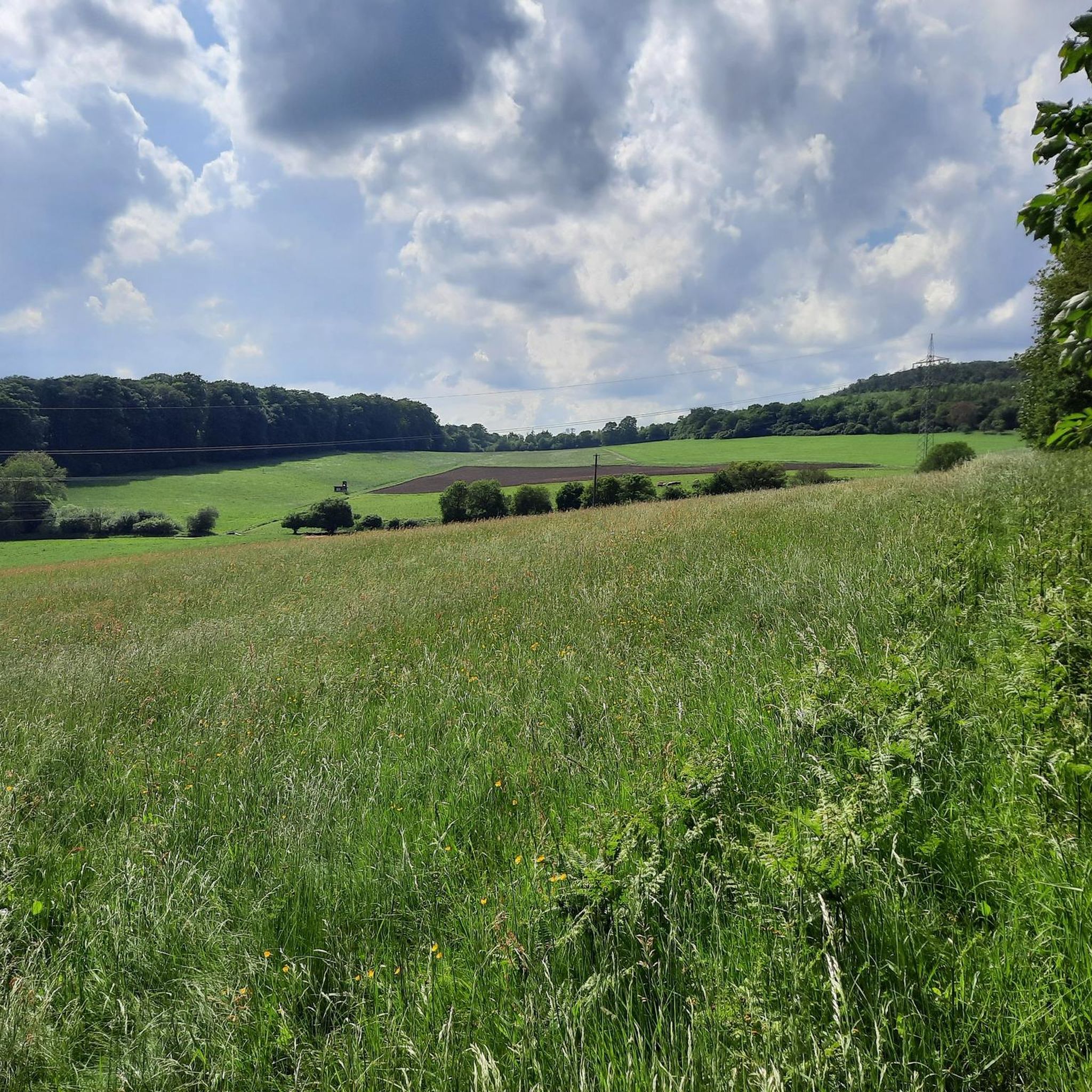
Best mountain peaks around Nordhofen are found within the Westerwald mountain range, a region characterized by rolling hills and dense forests in Germany. This area offers numerous opportunities for outdoor activities, particularly hiking, across its varied topography. The appeal of visiting Nordhofen and its surrounding elevations lies in its picturesque landscapes, extensive hiking trails, and panoramic views. The region provides a charming backdrop of hills and forests, with various options for exploring its natural beauty.
Best mountain peaks around Nordhofen
…Last updated: August 11, 2026
Köppel Observation Tower
Highlight • Viewpoint
Is worth a trip. :-)
Translated by Google •
Tip by

Alarmstange (545 m) – Highest Point of the Montabaurer Höhe
Highlight • Summit
Translated by Google •
Tip by

Sign up now to discover places like this
Get recommendations on the best single tracks, peaks, & plenty of other exciting outdoor places.
Sign up for free
Kaiserstuhl rock outcrop with bench
Highlight • Natural Monument
Translated by Google •
Tip by

Translated by Google •
Tip by

Helleberg Observation Tower
Highlight • Viewpoint
Translated by Google •
Tip by

Sign up for free to discover even more peaks around Nordhofen.
Sign up for free
Already have an account?
Start today with a free account
Your next adventure awaits.
Login or Signup
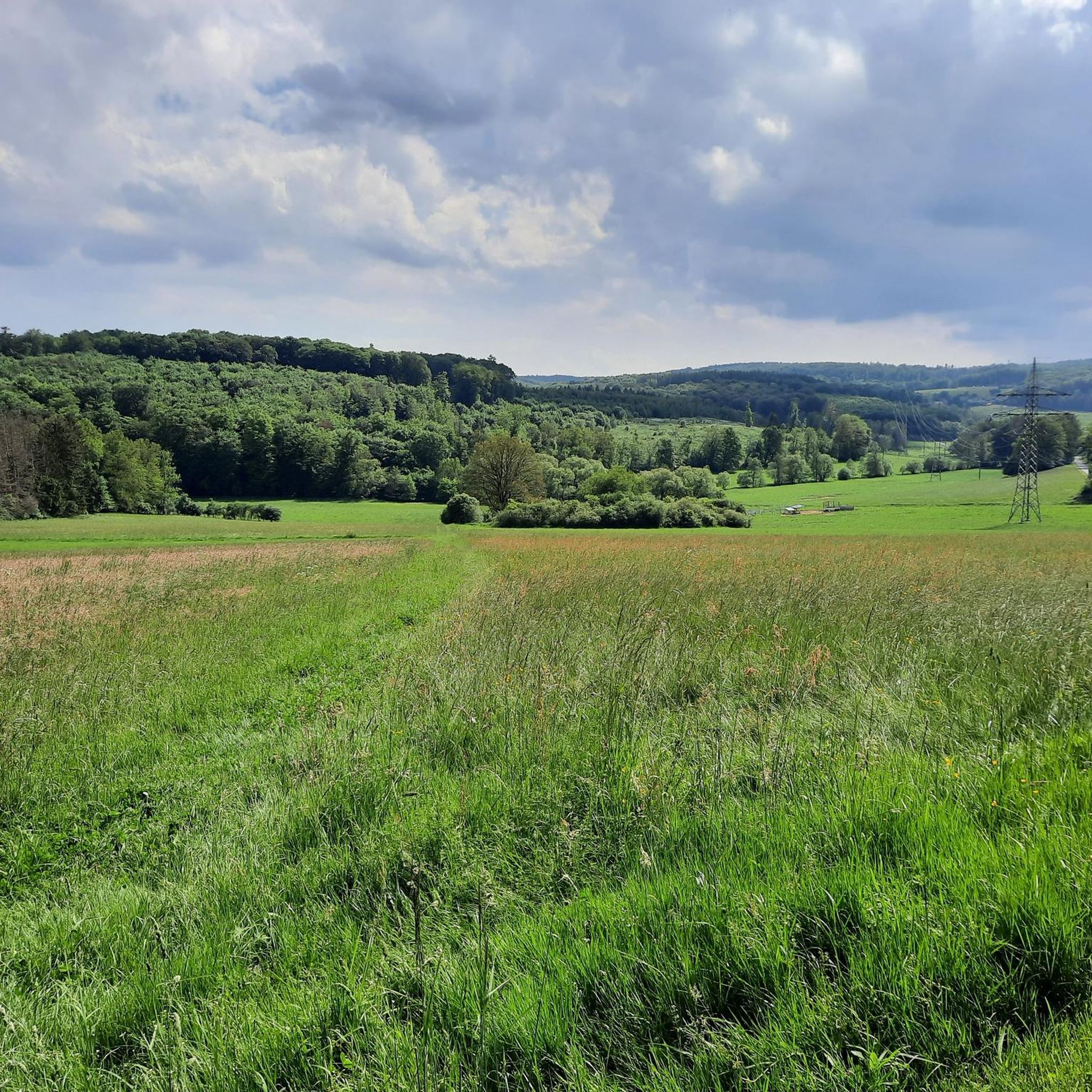
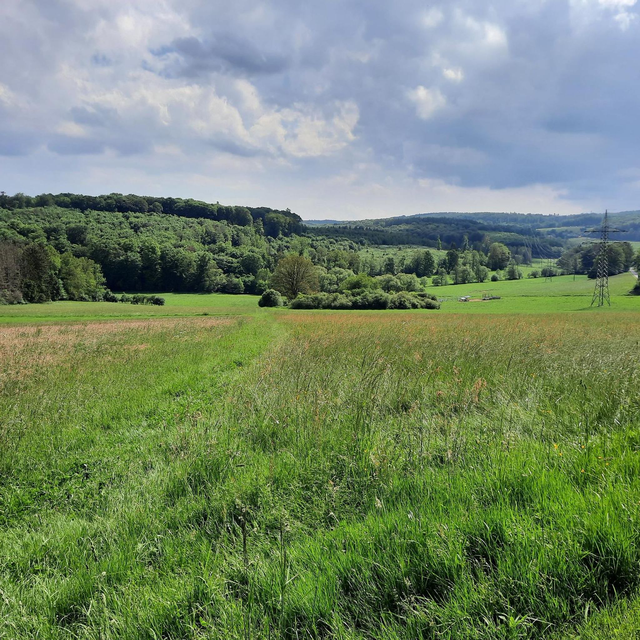
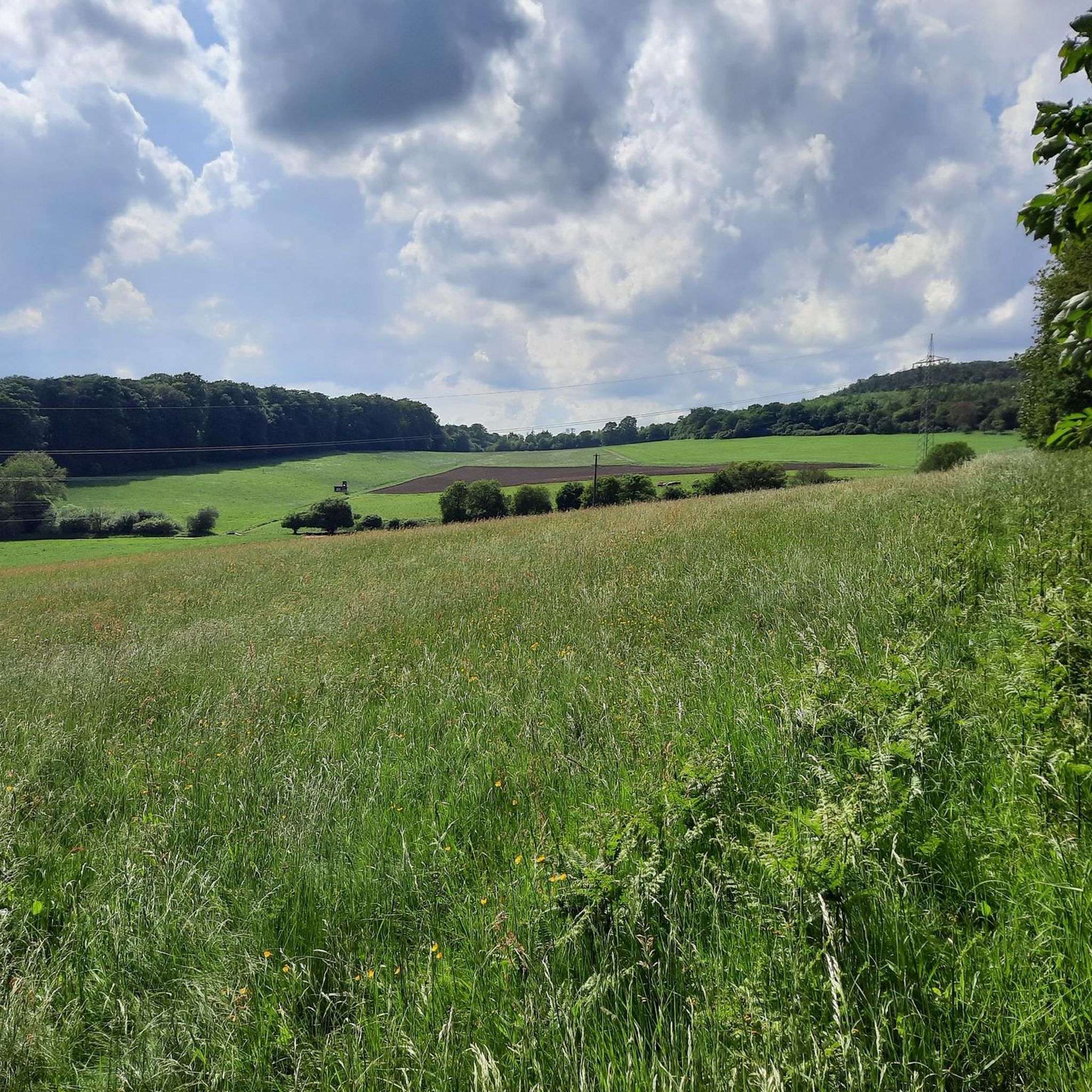
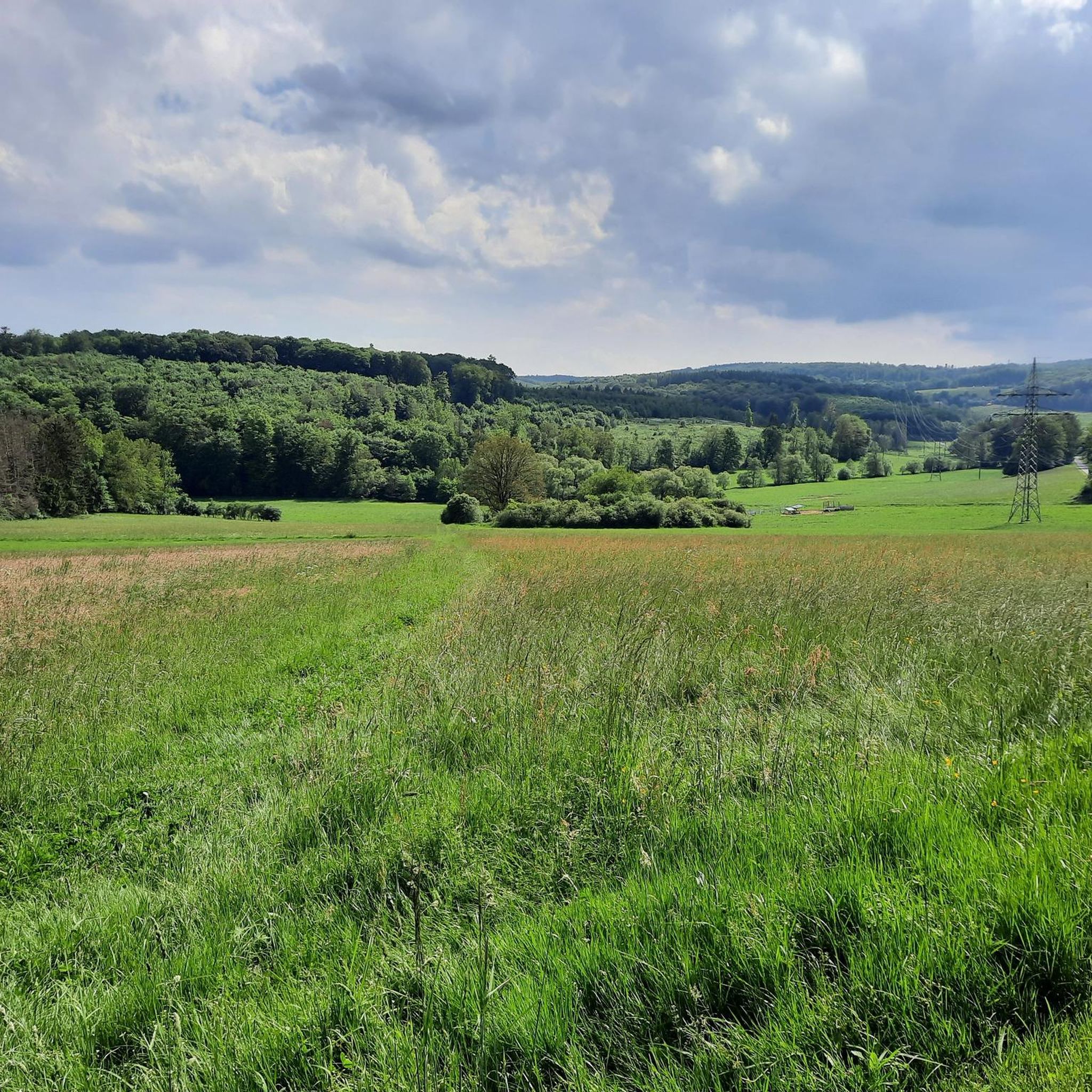

Tips from the Community

Natural monument, striking rocky outcrop with a bench and a bit of a view.
3
0
Beautiful steep path into the Brexbachtal.
2
0

The viewpoint is overgrown. However, the narrow path is a highlight.
3
0

This striking tower offers an amazing view from above - weather permitting.
4
0

Anyone who has managed the 160 steps to the top will get a beautiful all-round view.
4
0

Steep climb but rewarded
2
0

The Kaiserstuhl is located above the Brexbachtal near Grenzau and is a certified premium hiking trail (Brexbachschluchtweg). The ascent is somewhat alpine, so good footwear is required. From above you have a great view of the valley.
3
1

"... A rustic forest path leads from Grenzau Castle to the striking rocks at the Kaiserstuhl crossroads. Here we turn left to the rocky outcrop where a bench is available. Equipped with sturdy shoes, the path leads us down in serpentines to the Brexbachtal. ..." https://www.tourenplaner-rheinland-pfalz.de/de/tour/wandern/waeller-tour-brexbachschluchtweg- Grenzau/6080058/#dmdtab=oax-tab3 ⚠️ If the descent over the narrow path down to the Brexbachtal is too steep, you can also take a small detour via the Ostersmühle. 😉
1
0
Frequently Asked Questions
What are some of the most notable elevated points in the Westerwald region around Nordhofen?
The Westerwald, where Nordhofen is located, features several significant elevated points. Among them are the Helleberg Observation Tower, offering extensive views, and the Köppel Observation Tower, known for its wide vistas. Other notable points include the Alarmstange (545 m), which is the highest point of the Montabaurer Höhe, and the Malberg summit with its historical rock formation. The region also boasts the Fuchskaute, the highest elevation in the entire Westerwald at 657 meters, and the Salzburger Kopf, the third-highest point, recognizable by its transmission tower.
Which peaks or viewpoints offer the best panoramic views near Nordhofen?
For breathtaking panoramic views, the Helleberg Observation Tower is an excellent choice, providing extensive views over the entire Westerwald Lake District on clear days. Similarly, the Köppel Observation Tower offers incredible vistas, allowing you to see as far as the Eifel volcanoes and Siebengebirge. The Hohes Kreuz Lookout Point, accessible via a popular hiking route from Nordhofen, also provides a stunning view over the Brexbach valley and the surrounding landscape.
What is the highest point in the Westerwald region near Nordhofen?
The highest elevation in the entire Westerwald region is the Fuchskaute, standing at 657 meters. While the absolute highest point might be subtly hidden within the forest, the area offers expansive views, making it a rewarding destination for hikers seeking the highest ground in the region. The Stegskopf, at 654.4 meters, is the second-highest point, and the Salzburger Kopf, at 654.2 meters, is the third-highest.
Are there family-friendly mountain walks or activities around Nordhofen?
Yes, Nordhofen is a true paradise for nature lovers and hiking enthusiasts, with routes suitable for various skill levels, including families. The Helleberg Observation Tower is considered family-friendly and easily accessible. Additionally, the region offers options like the 'Waldabenteuer' (Forest Adventure) nature trail, which combines information about local flora and fauna with playful elements designed for children.
What kind of outdoor activities can I do near the peaks around Nordhofen?
The area around Nordhofen is ideal for various outdoor activities. Hiking is particularly popular, with numerous trails winding through rolling hills and dense forests. You can also find excellent options for running, such as the 'Hölzen Mountain loop from Mogendorf' or the 'Historic Center of Maxsain – Hammermühle Pond loop from Nordhofen', which you can explore further in the Running Trails around Nordhofen guide. For cyclists, there are diverse routes, including road cycling and touring bicycle options like the 'Giershofen Pond Landscape – Maroth Forest Lake loop from Nordhofen'. More details can be found in the Road Cycling Routes around Nordhofen and Cycling around Nordhofen guides.
What is the best time of year to visit the mountain peaks near Nordhofen?
Spring and autumn are particularly recommended seasons for visiting the peaks and elevated points around Nordhofen. During these times, the natural beauty of the rolling hills and dense forests is at its peak, offering pleasant temperatures for hiking and cycling, and vibrant colors in the landscape.
Are there any natural monuments or unique rock formations to see?
Yes, the region features several interesting natural formations. The Kaiserstuhl rock outcrop is a striking natural monument with a rustic, steep climb that rewards visitors with a view. Additionally, the Malberg summit is associated with the 'Wildweiberhäuschen' rock formation, which has historical significance.
What do visitors enjoy most about the mountain peaks and elevated points around Nordhofen?
Visitors frequently praise the extensive and often indescribable views from observation towers like the Köppel Observation Tower and the Helleberg Observation Tower. The tranquil natural settings, especially at spots like the Gietzebeul Summit, and the sense of achievement from reaching local high points like the Weißer Stein, are also highly appreciated. The diverse trails and picturesque landscapes are often highlighted as well.
Can I find cafes or places to eat near the mountain trails?
While specific cafes directly on every mountain trail are not detailed, the region does offer options. For example, the Köppelhütte near the Köppel Observation Tower is known for its rustic charm and delicious food. It's always a good idea to check local listings or the opening hours of such establishments online before your visit.
Are there any historical sites associated with the peaks?
Yes, some elevated points have historical significance. The Malberg summit, for instance, is a historically significant survey point with a varied past, and its associated 'Wildweiberhäuschen' rock formation adds to its historical appeal. The Stegskopf, the second-highest point in the Westerwald, was historically home to a viewing tower and is located within the Daaden Training Area.
What wildlife might I encounter in the mountains around Nordhofen?
The dense forests and natural reserves, such as the NSG Fuchskaute, provide habitats for various wildlife. While specific sightings are never guaranteed, visitors might encounter typical forest animals like deer, wild boars, and a variety of bird species. The 'Waldabenteuer' (Forest Adventure) nature trail is designed to educate visitors about local flora and fauna, suggesting a rich natural environment.
Are there options for winter hiking around Nordhofen's peaks?
While the region is primarily known for spring and autumn hiking, the Westerwald does experience winter conditions. Elevated points like the Salzburger Kopf even feature a ski piste, indicating significant elevation and openness. Winter hiking can be possible, but it's crucial to check weather forecasts and trail conditions beforehand, as some paths might become challenging due to snow or ice.
Most popular routes around Nordhofen
Most popular attractions around Nordhofen

Get inspired with the komoot mobile app


Explore more
See even more amazing summits around Nordhofen with these guides:
