The best road cycling routes around Griebelschied
4.5
(112)
1,544
riders
130
rides
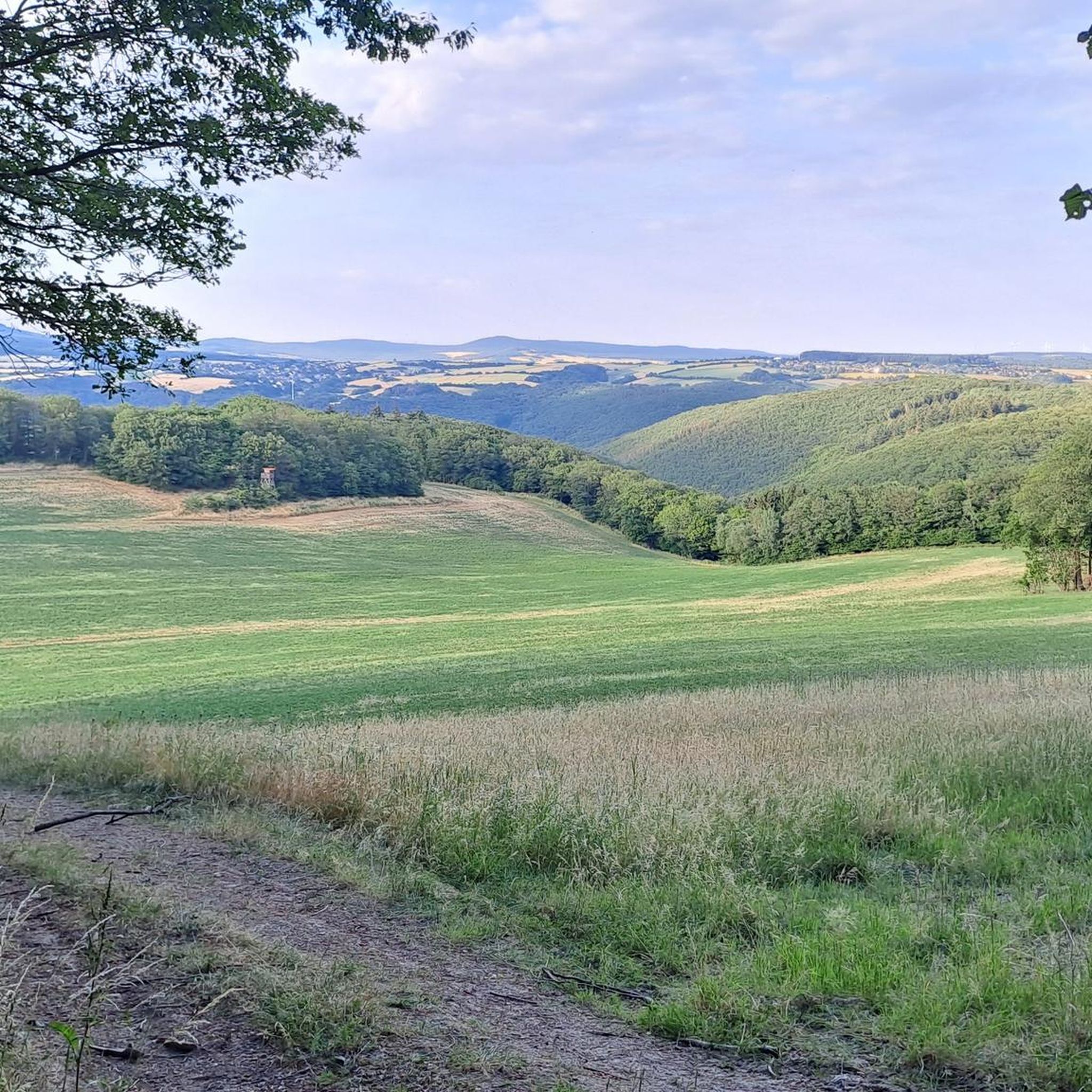
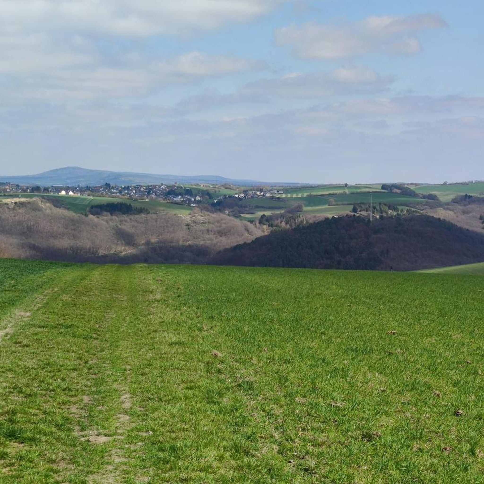
Road cycling around Griebelschied offers diverse terrain within the Hunsrück-Nahe region, characterized by a low mountain range landscape. The area features rolling hills, dense forests, and picturesque river valleys, providing varied elevation for cyclists. Quiet roads and asphalt paths are common, allowing for scenic rides away from heavy traffic.
Best road cycling routes around Griebelschied
- The most popular road cycling route is A brewery Tour through the Naheland, a 39.9 miles (64.2 km) trail that takes 3 hours 2 minutes to complete. This route explores the Naheland region, known for its river valleys and vineyards.
- Another top favourite among local road cyclists is Bikepark Nahbollenbach – Nahe Bridge loop from Kirn, an easy 22.4 miles (36.0 km) path. This route offers quiet roads and views along the Nahe river.
- Local road cyclists also love the Old Stone Bridge over the Nahe – Glan Bridge near Rehborn loop from Kirnsulzbach, a 38.7 miles (62.2 km) trail leading through river valleys, often completed in about 2 hours 42 minutes.
- Road cycling around Griebelschied is defined by hilly terrain, dense forests, and scenic river valleys. The network offers options for easy, moderate, and difficult routes catering to different ability levels.
- The routes in Griebelschied are highly rated by the komoot community with an average score of 4.5 stars from over 100 reviews. More than 1,500 road cyclists have used komoot to explore Griebelschied's varied terrain.
Last updated: July 2, 2026

4.7
(6)
48
riders
64.2km
03:02
520m
520m
Moderate road ride. Good fitness required. Some segments of this route may be unpaved and difficult to ride.
4.3
(11)
64
riders
36.0km
01:38
220m
220m
Easy road ride. Great for any fitness level. Mostly well-paved surfaces and easy to ride.

Sign up for free
5.0
(5)
38
riders
68.5km
03:17
570m
570m
Moderate road ride. Good fitness required. Some segments of this route may be unpaved and difficult to ride.
22
riders
75.2km
03:28
850m
850m
Moderate road ride. Good fitness required. Mostly well-paved surfaces and easy to ride.
4.3
(3)
26
riders
Moderate road ride. Good fitness required. Some segments of this route may be unpaved and difficult to ride.
Get access to more routes and recommendations from other explorers.
Sign up for free
Already have an account?
Our route recommendations are based on thousands of hikes, rides, and runs completed by other people on komoot.
Start today with a free account
Your next adventure awaits.
Login or Signup

Tips from the Community

Great straight path, I prefer nature more, but it's totally OK
0
0
Beautiful straight path along the Nahe
0
0
Nice straight path, I prefer something a bit more natural but still nice :-)
0
0

One of the nicer views.
0
0
Good starting point for tours if you live on the Neuweg
0
0

The Kyrburg, also called Kirburg, is the ruin of a hilltop castle built at about 300 m above sea level[1] between the valleys of the Nahe and the Hahnenbach, high above the town of Kirn in the district of Bad Kreuznach in Rhineland-Palatinate, and is the town's landmark. https://www.kyrburg.de/ https://de.wikipedia.org/wiki/Kyrburg
0
0

Well done, very nice facility
0
0
Frequently Asked Questions
What kind of terrain can I expect when road cycling around Griebelschied?
The region around Griebelschied, part of the Hunsrück-Nahe area, is characterized by a diverse low mountain range landscape. You'll encounter rolling hills, dense forests, and picturesque river valleys, offering a mix of challenging climbs and exhilarating descents. The area is known for its quiet roads and asphalt paths, providing scenic rides away from heavy traffic.
How many road cycling routes are available in the Griebelschied area?
There are nearly 140 road cycling routes around Griebelschied available on komoot. These routes cater to various skill levels, including easy, moderate, and difficult options.
Are there any easy road cycling routes suitable for beginners or a relaxed ride?
Yes, there are 12 easy road cycling routes around Griebelschied. An excellent option for a relaxed ride is the Bikepark Nahbollenbach – Nahe Bridge loop from Kirn, which is 22.4 miles (36.0 km) long and offers quiet roads and views along the Nahe river.
What are some notable natural features or landmarks I might see on a road cycling tour?
The region is rich in natural beauty. You'll cycle through extensive forests, particularly in the wider Hunsrück region, and along idyllic river valleys like the Nahe. The area also features vineyards, especially along routes like the Naheweinstraße. For specific natural attractions, you might encounter waterfalls such as the Trübenbach Waterfall or the Kellenbacher Woog Waterfall.
Are there any circular road cycling routes around Griebelschied?
Many of the road cycling routes in the Griebelschied area are designed as loops, allowing you to start and end at the same point. For example, the Old Stone Bridge over the Nahe – Glan Bridge near Rehborn loop from Kirnsulzbach is a popular circular trail leading through river valleys.
What do other cyclists say about road cycling in Griebelschied?
The road cycling routes around Griebelschied are highly rated by the komoot community, with an average score of 4.5 stars from over 100 reviews. More than 1,500 road cyclists have used komoot to explore the area, often praising the varied terrain, scenic river valleys, and quiet roads.
What is the best season for road cycling in the Griebelschied region?
The Hunsrück-Nahe region is generally pleasant for road cycling from spring through autumn. Spring offers blooming landscapes, while summer provides lush green forests and river views. Autumn brings vibrant foliage, making it a particularly scenic time to ride. Always check local weather conditions before heading out.
Are there any challenging routes for experienced road cyclists?
Yes, the hilly profile of the Hunsrück-Nahe region provides opportunities for demanding rides. There are 32 difficult routes available. For instance, the Kellenbach Valley – Kellenbach Valley loop from Herrstein is a moderate route with significant elevation gain, offering a good challenge.
Can I find routes that pass through historic towns or cultural sites?
The region is dotted with historic towns and cultural sites. While Griebelschied is a smaller community, its proximity to places like Herrstein, with its historical center, allows for routes that can incorporate such stops. The broader Naheland region also features charming villages and vineyards.
Are there any specific routes that explore the Naheland region's vineyards?
Yes, the Naheland region is renowned for its idyllic river valleys and Mediterranean vineyards. A popular route that explores this area is A brewery Tour through the Naheland, which is 39.9 miles (64.2 km) long and takes you through this picturesque landscape.
What kind of elevation changes can I expect on road cycling routes around Griebelschied?
The Hunsrück-Nahe region is characterized by a hilly profile, meaning you can expect varied elevation changes. Routes often feature both demanding climbs and exhilarating descents. For example, the Meisenheim Old Town – Glan Bridge near Rehborn loop from Kirn includes over 570 meters of elevation gain.
Most popular routes around Griebelschied
Most popular attractions around Griebelschied

Get inspired with the komoot mobile app


Explore more
Browse the best Road cycling routes in other regions.
