Darncombe-Cum-Langdale End
Darncombe-Cum-Langdale End
The best MTB trails around Darncombe-Cum-Langdale End
4.5
(899)
9,519
riders
92
rides
Mountain biking around Darncombe-Cum-Langdale End offers diverse terrain within the North York Moors National Park. The area features extensive forested valleys, including Dalby Forest, Langdale Forest, and Broxa Forest, which provide dedicated trail networks. Riders can also explore open rolling moorlands and encounter geological formations such as the Hole of Horcum. The landscape includes varied surfaces from flowing singletracks to forest roads and moorland tracks.
Best mountain bike trails around Darncombe-Cum-Langdale End
- The most popular mountain bike trail is Jerry…
Last updated: October 11, 2026
4.6
(10)
83
riders
12.6km
01:04
140m
140m
Hard mountain bike ride. Great for any fitness level. Advanced riding skills necessary. Some portions of the route may require you to push your bike.
3.0
(1)
23
riders
5.69km
00:33
90m
80m
Hard mountain bike ride. Great for any fitness level. Advanced riding skills necessary. Some portions of the route may require you to push your bike.

5.0
(4)
58
riders
14.7km
01:08
130m
130m
Easy mountain bike ride. Great for any fitness level. Suitable for all skill levels.
5.0
(3)
37
riders
15.2km
01:18
170m
170m
Easy mountain bike ride. Great for any fitness level. Suitable for all skill levels.
4.5
(2)
19
riders
20.4km
01:33
190m
190m
Easy mountain bike ride. Great for any fitness level. Suitable for all skill levels.
Get access to more routes and recommendations from other explorers.
Already have an account?
Our route recommendations are based on thousands of hikes, rides, and runs completed by other people on komoot.
Start today with a free account
Your next adventure awaits.
Popular around Darncombe-Cum-Langdale End
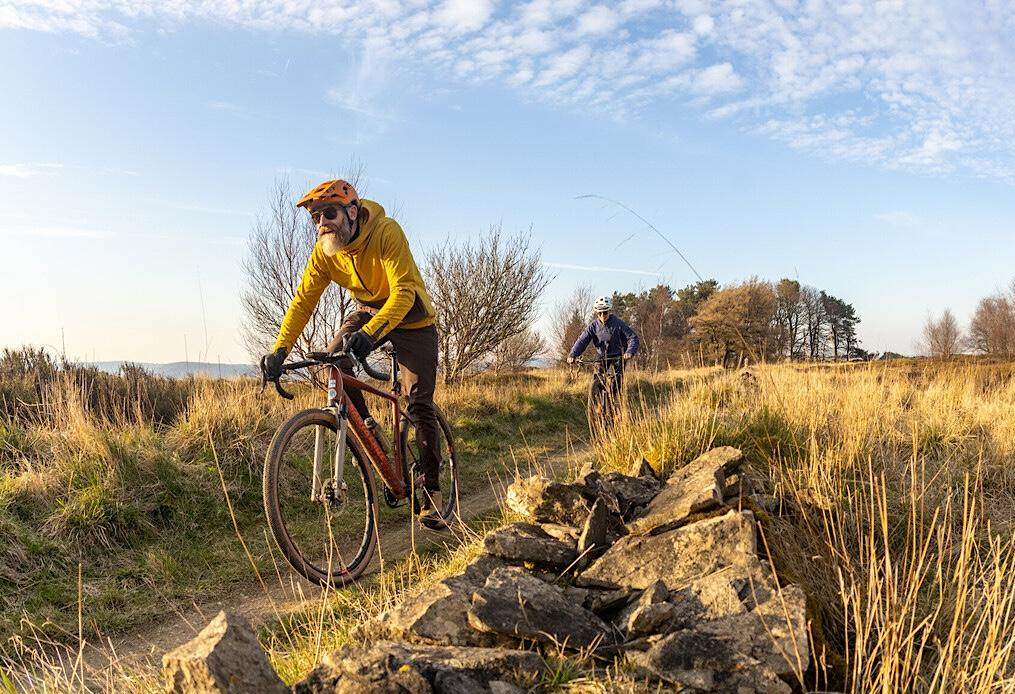
North York Moors Gravel and Explorer Routes
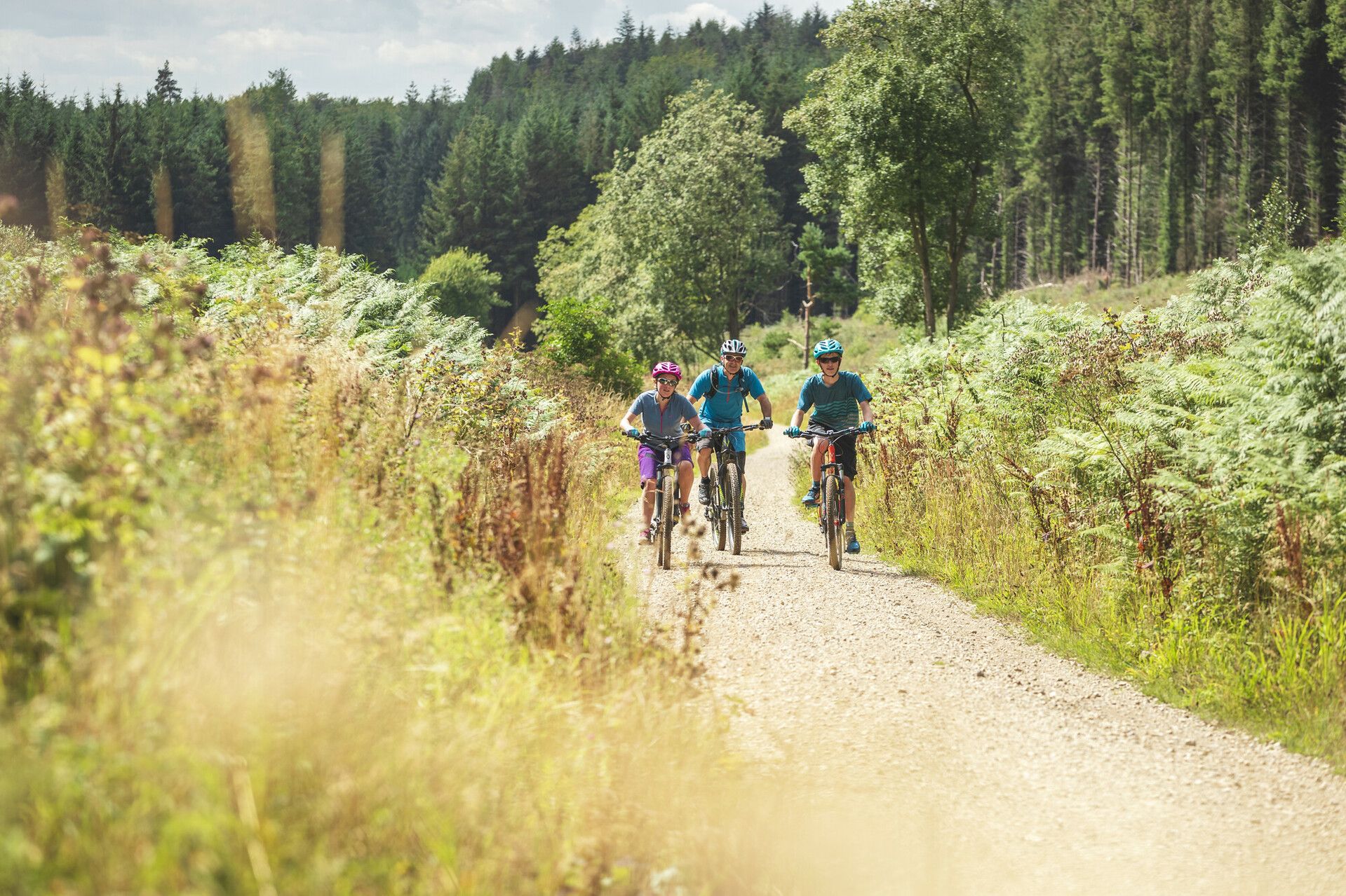
Gravel Cycling in North York Moors National Park
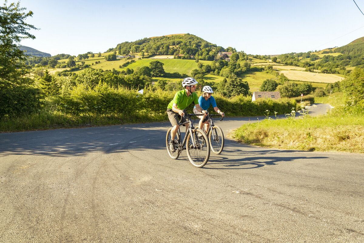
North York Moors National Park Cycle Routes
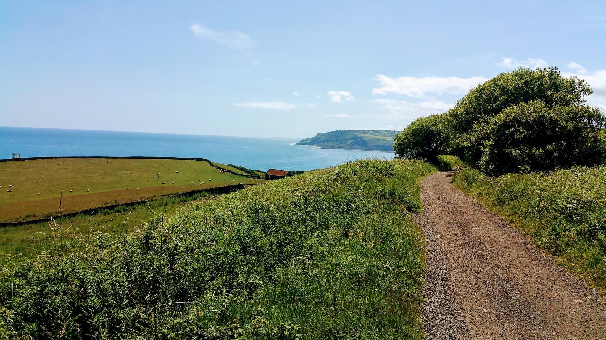
Moor to Sea – exploring the North York Moors National Park
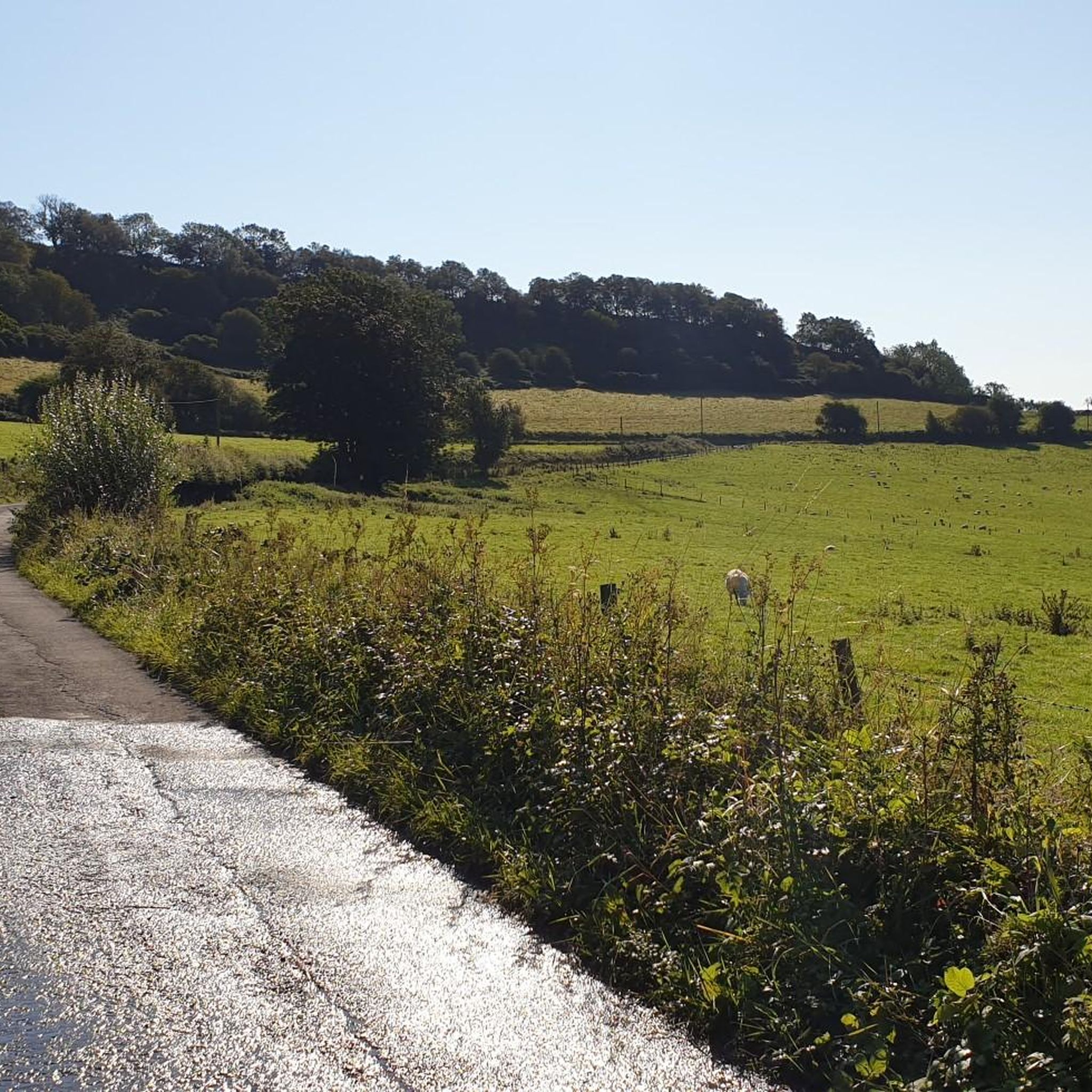
Cycling around Darncombe-Cum-Langdale End
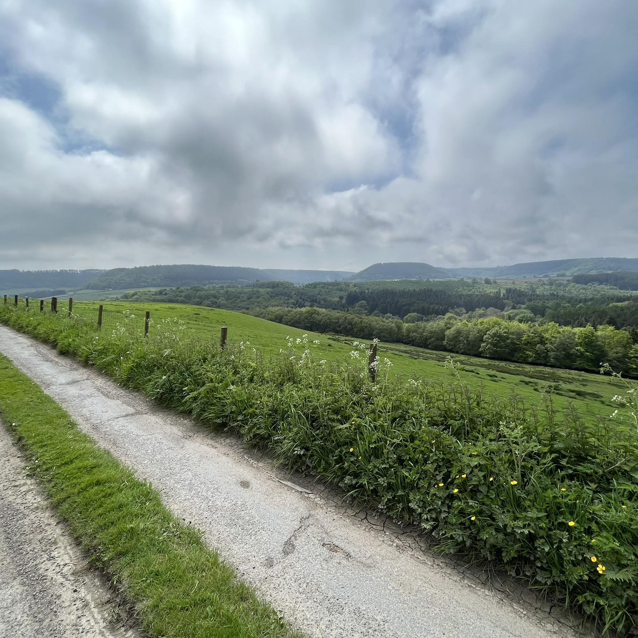
Hiking around Darncombe-Cum-Langdale End
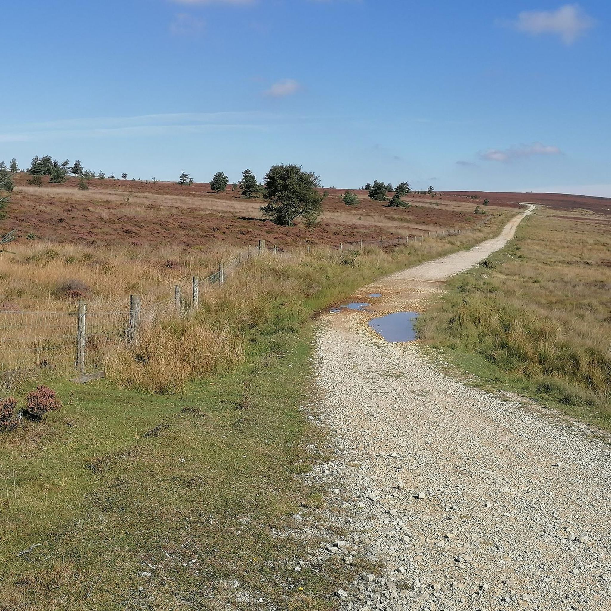
Running Trails around Darncombe-Cum-Langdale End
Gravel biking around Darncombe-Cum-Langdale End
Road Cycling Routes around Darncombe-Cum-Langdale End
Other adventures around Darncombe-Cum-Langdale End

Tips from the Community

Good switchbacks. Quite steep downhill sections, the surface has many exposed rocks, sunken ride lines. Be alert, some of this is black graded riding. Theres less traction and grip on days like today due to rainfall. Its fun to ride on though.
0
0

Many paths. Quiet and beautiful. Perfect for a mountain and a gravel bike.
0
0
This location was about 10 miles into this trail. It is a crossroads in Dalby Forest. You can rest the bikes against several fences & gates, then sit down on an elevated drain type seat. Good point to rehydrate and eat
0
0
There are slower double tracks in between many areas of singletrack. Some are climbing sections but this one offered a slight rest after flying through fun sections just before here. You might not realise the energy you are putting in before reaching this rest section
0
0

Newly refurbished berms! Flowing like a dream now that they've been redone. 👌
1
0
Awesome views across Dalby. Well worth a ride DOWN this road in order to catch the view on a clear day.
0
0

Great views heading back down into low Dalby, look out for Buzzards!
0
0

A great set of chicanes (curves in the path) here in the heart of Dalby Forest. Great practice opportunities while cycling through the peaceful forest.
0
0
Frequently Asked Questions
How many mountain bike trails are available around Darncombe-Cum-Langdale End?
There are nearly 100 mountain bike trails around Darncombe-Cum-Langdale End, offering a wide range of experiences within the North York Moors National Park. These include routes through extensive forested valleys like Dalby Forest, Langdale Forest, and Broxa Forest, as well as open moorlands.
What kind of terrain can I expect on mountain bike trails here?
The terrain around Darncombe-Cum-Langdale End is highly varied. You'll find everything from flowing singletracks and forest roads in areas like Dalby Forest to more challenging moorland tracks with features such as waterlogged hollows, peat, marshland, and smaller boulder rocks. The region also includes dramatic geological formations like the Hole of Horcum.
Are there mountain bike trails suitable for beginners in Darncombe-Cum-Langdale End?
Yes, there are plenty of options for beginners. Out of the nearly 100 trails, 36 are rated as easy. For example, the Crosscliffe Car Park – View of Dalby Forest Edge loop from Waitcliff Howe is an easy 9.3-mile route through Dalby Forest. Dalby Forest also features green and blue routes designed for less experienced riders, such as the Blue Berms, Dalby Forest – Dixon's Hollow Bike Park loop from Allerston.
Where can I find more challenging mountain bike routes?
For more advanced riders, there are 10 difficult trails available. Dalby Forest is a prime location for challenging routes, including the Jerry Noddle RED Trail and the UCI World Cup BLACK Route. These offer technical sections and demanding ascents within the forest environment.
Are there family-friendly mountain bike trails?
Absolutely. Many trails in the area, particularly within Dalby Forest, are suitable for families. The 'Adderstone Green Trail' in Dalby Forest offers both full and shorter loops that are easier rides. Broxa Forest also has family-friendly dirt and gravel roads. When planning, look for trails rated as 'easy' on komoot.
Can I bring my dog on the mountain bike trails?
Many trails within the North York Moors National Park are dog-friendly, especially those on public rights of way. However, specific forest areas like Dalby Forest may have restrictions or require dogs to be on a lead, particularly in sensitive wildlife areas or during certain seasons. Always check local signage and respect wildlife and livestock.
What are the parking options for mountain biking in the area?
Parking is generally available at key access points for popular trail networks. For instance, Dalby Forest has multiple car parks, including Crosscliffe Car Park, which serves as a starting point for several routes. Many trailheads within the North York Moors National Park also offer designated parking areas. Some car parks may require a fee.
Are there any notable natural landmarks or viewpoints along the trails?
Yes, the region is rich in natural beauty. You can encounter the dramatic natural amphitheatre of the Hole of Horcum, which is often incorporated into routes. Views from locations like Rhumbard Snout offer impressive panoramas of Broxa and Langdale Forests. The area also features picturesque streams and the stunning Mallyan Spout Waterfall, the tallest in the North York Moors.
What attractions are near the mountain bike trails?
Beyond the trails themselves, you can explore several attractions. Dalby Forest offers the Dalby Forest Visitor Centre and the Dixon's Hollow Bike Park. The wider North York Moors area also boasts historical sites like Scarborough Castle, Pickering Castle, and Whitby Abbey, as well as the ancient Wheeldale Roman Road.
Are there circular mountain bike routes available?
Yes, many mountain bike routes in the Darncombe-Cum-Langdale End area are designed as circular loops, allowing you to start and finish at the same point. For example, the RAF Fylingdales Radar Station – View of Dalby Forest Edge loop from Harwood Dale is a moderate 22.7-mile circular route. Look for routes on komoot that specify 'loop' in their description or map.
What is the best time of year for mountain biking in Darncombe-Cum-Langdale End?
The North York Moors are beautiful year-round, but spring and autumn often provide the best conditions for mountain biking, with milder temperatures and vibrant scenery. Summer can be excellent, though trails might be busier. Winter riding is possible but be prepared for potentially muddy, wet, or icy conditions, especially on moorland tracks, and shorter daylight hours.
What do other mountain bikers enjoy most about mountain biking in Darncombe-Cum-Langdale End?
The area is highly rated by the komoot community, with an average score of 4.5 stars from over 700 reviews. Riders frequently praise the diverse terrain, from deep forested valleys to expansive open moorlands, and the well-maintained dedicated trail networks in places like Dalby Forest. The scenic views and the variety of routes catering to all skill levels are also often highlighted.
Most popular routes around Darncombe-Cum-Langdale End
Most popular attractions around Darncombe-Cum-Langdale End

Get inspired with the komoot mobile app


Explore more
Browse the best MTB trails in other regions.
