The best road cycling routes around Melmerby
4.4
(35)
1,648
riders
76
rides
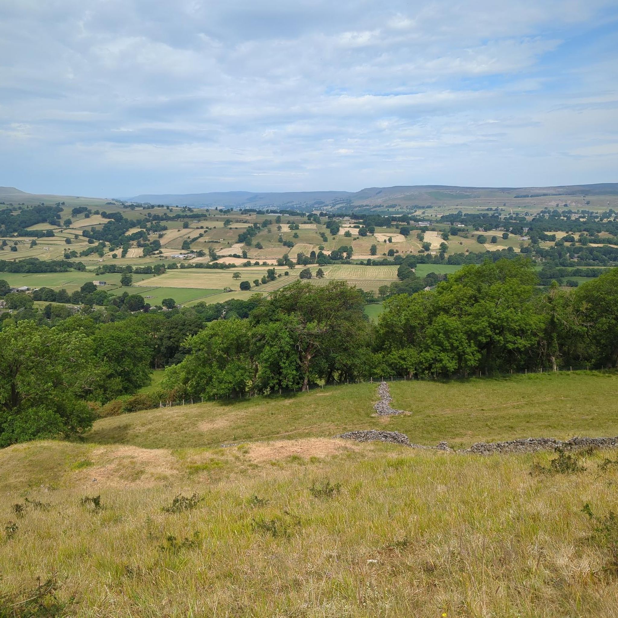
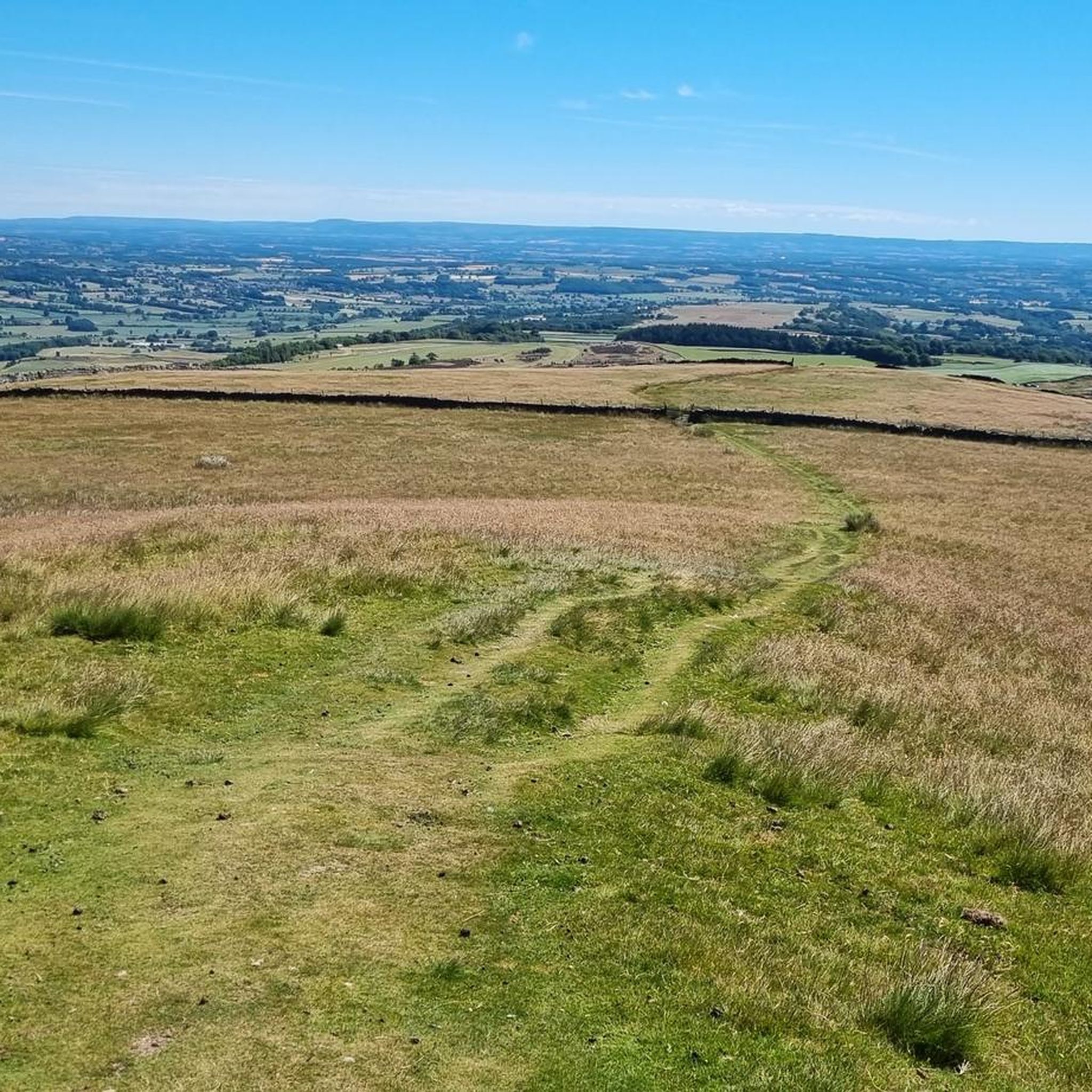
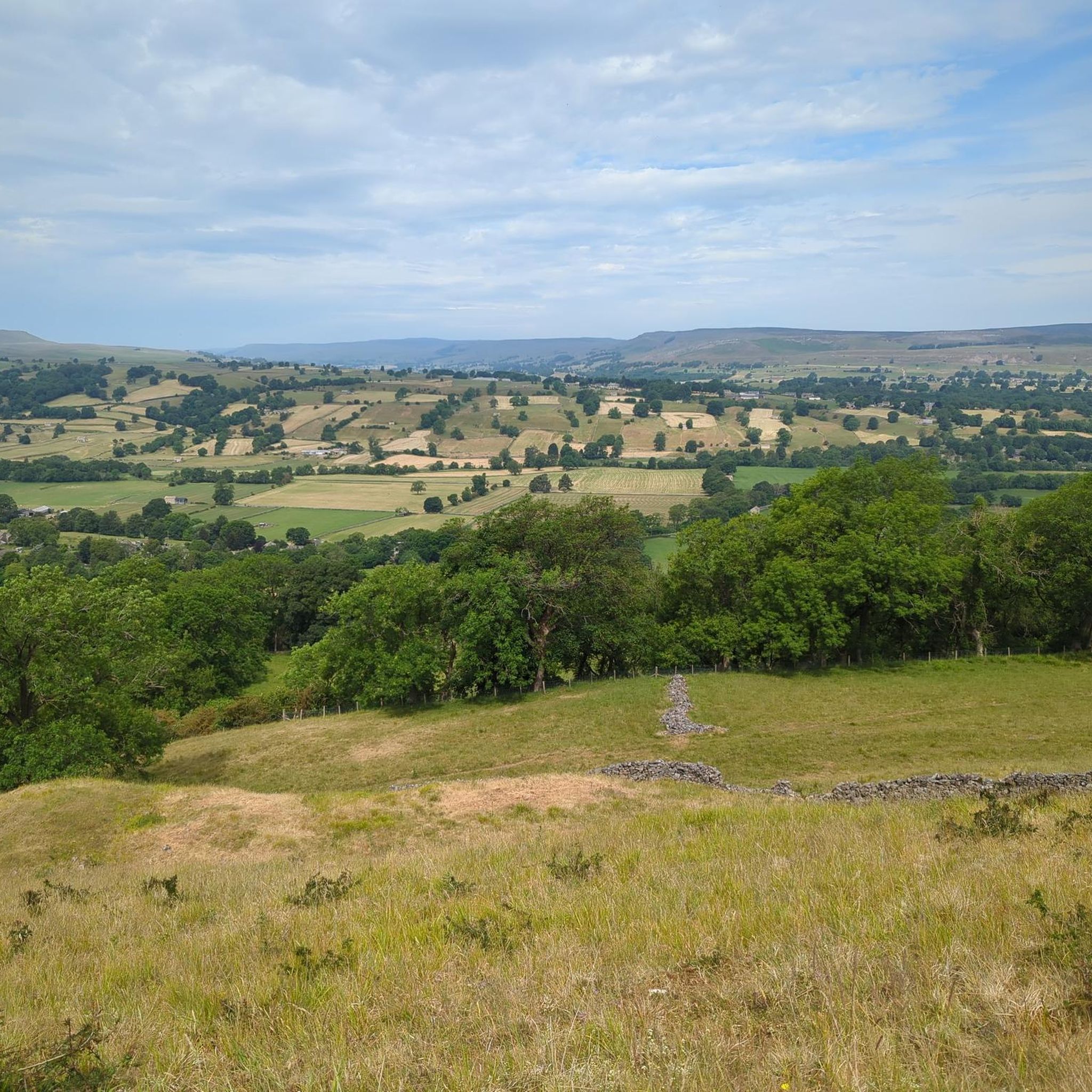
Road cycling routes around Melmerby traverse the varied landscapes of Cumbria, situated near the North Pennines Area of Outstanding Natural Beauty. The region is characterized by rolling hills, open moorland, and river valleys, offering a mix of challenging climbs and scenic descents. Road cyclists can expect routes that navigate through agricultural land and past small villages, with elevations that provide expansive views of the surrounding countryside.
Best road cycling routes around Melmerby
- The most popular road cycling route is Oxnop to Crow Trees Descent – Grinton Moor loop from Middleham, a 44.1 miles (70.9 km) trail that takes 3 hours 28 minutes to complete. This difficult route features significant climbs and descents across open moorland.
- Another top favourite among local road cyclists is Fleet Moss Climb from Hawes – Fleet Moss Approach loop from West Witton, a difficult 60.8 miles (97.9 km) path. This route includes a notable climb and offers views of the high fells.
- Local road cyclists also love the View of Ellerkin Scar – Aysgarth Rock Garden loop from Great Britain, a 28.5 miles (45.9 km) trail leading through varied terrain with moderate elevation changes, often completed in about 1 hour 59 minutes.
- Road cycling around Melmerby is defined by rolling hills, open moorland, and river valleys. The network offers options for different ability levels, from moderate routes to advanced road bike trails near Melmerby.
- The routes in Melmerby are highly rated by the komoot community with an average score of 4.36 stars from over 35 reviews. More than 1,600 road cyclists have used komoot to explore Melmerby's varied terrain.
Last updated: July 9, 2026
5.0
(8)
325
riders
71.0km
03:28
1,050m
1,050m
Hard road ride. Very good fitness required. Mostly well-paved surfaces and easy to ride.
178
riders
97.9km
05:34
1,820m
1,830m
Hard road ride. Very good fitness required. Mostly well-paved surfaces and easy to ride.

Sign up for free
4.8
(5)
120
riders
45.9km
02:00
410m
410m
Moderate road ride. Good fitness required. Mostly well-paved surfaces and easy to ride.
3.0
(1)
103
riders
59.3km
03:09
950m
950m
Hard road ride. Very good fitness required. Mostly well-paved surfaces and easy to ride.
5.0
(2)
47
riders
52.5km
02:48
900m
900m
Hard road ride. Very good fitness required. Mostly well-paved surfaces and easy to ride.
Get access to more routes and recommendations from other explorers.
Sign up for free
Already have an account?
Our route recommendations are based on thousands of hikes, rides, and runs completed by other people on komoot.
Start today with a free account
Your next adventure awaits.
Login or Signup

Tips from the Community

Tough sustained climb with a very steep section.
0
0

It says private on the gate 🤔but then asks you not to climb on the rocks and stick to the path . I went in for a mooch . Lovely garden
0
0

Brutal. Go around the wrong side of the road and plead forgiveness to the motorists (good luck with that). Take care coming down. With lots of gravel on the road
0
0


A classic stretch of high Pennine moorland, shaped by centuries of lead‑mining, with old hushes, spoil heaps, and trackways still etched into the heather. The moor forms part of the Reeth–Grinton–Harkerside upland block, giving wide, open views over Swaledale. Spectacular under a layer of snow in winter.
1
0

Gears 34 x 34 . Keep to outside of bend. Pace yourself
0
0

Fleet Moss from Hawes is a remote and challenging Dales climb, averaging 8% with punishing ramps up to 20%. The narrow, weather-beaten road rises sharply through open moorland, with rough tarmac and exposed sections that make wind a serious factor. The steepest gradients hit early, so shift into your lowest gear and settle into a controlled, steady rhythm. Reaching the summit feels wild and raw—true Yorkshire climbing at its toughest.
0
0

Fantastic loop from Hawes to Muker then Cross tops to Askridge then steady back to Hawes . The climbs are tough but an awesome ride
0
0
Frequently Asked Questions
How many road cycling routes are available around Melmerby?
There are over 75 road cycling routes available around Melmerby, catering to various skill levels. This includes 16 easy routes, 52 moderate routes, and 10 difficult routes.
Are there road cycling routes suitable for beginners or families in Melmerby?
Yes, Melmerby offers 16 easy road cycling routes that are generally suitable for beginners or families looking for a less strenuous ride. These routes typically feature gentler gradients and less demanding terrain.
What kind of terrain can I expect on road cycling routes near Melmerby?
Road cycling routes around Melmerby traverse a varied landscape of rolling hills, open moorland, and river valleys. You can expect a mix of challenging climbs and scenic descents, often navigating through agricultural land and past small villages.
Are there any long-distance road cycling trails in the Melmerby area?
For those seeking longer distances, routes like the Fleet Moss Climb from Hawes – Fleet Moss Approach loop from West Witton cover nearly 98 km (60.8 miles) and include significant climbs, offering a substantial challenge.
What are some scenic viewpoints or landmarks to look out for on road cycling routes?
Many routes offer expansive views of the surrounding countryside. You can find notable viewpoints such as Addlebrough Summit and Cairn, Penhill Crags and Beacon, and Height of Hazely Summit. Some routes also pass by impressive natural features like the Aysgarth Middle Falls.
Are there challenging road cycling routes for experienced riders?
Absolutely. Melmerby is known for its challenging routes with significant elevation changes. For instance, the Oxnop to Crow Trees Descent – Grinton Moor loop from Middleham is a difficult 70.9 km route featuring substantial climbs and descents across open moorland.
What do other road cyclists enjoy most about road cycling in Melmerby?
The komoot community highly rates road cycling in Melmerby, with an average score of 4.36 stars from over 35 reviews. Cyclists often praise the varied terrain, the challenging climbs, and the scenic beauty of the rolling hills and moorland.
Are there any circular road cycling routes available?
Yes, many of the routes around Melmerby are designed as loops, allowing you to start and finish in the same location. Examples include the View of Ellerkin Scar – Aysgarth Rock Garden loop from Great Britain and the Kidstones Pass – Kettlewell Village loop from Middleham.
What kind of natural attractions can I explore near the road cycling routes?
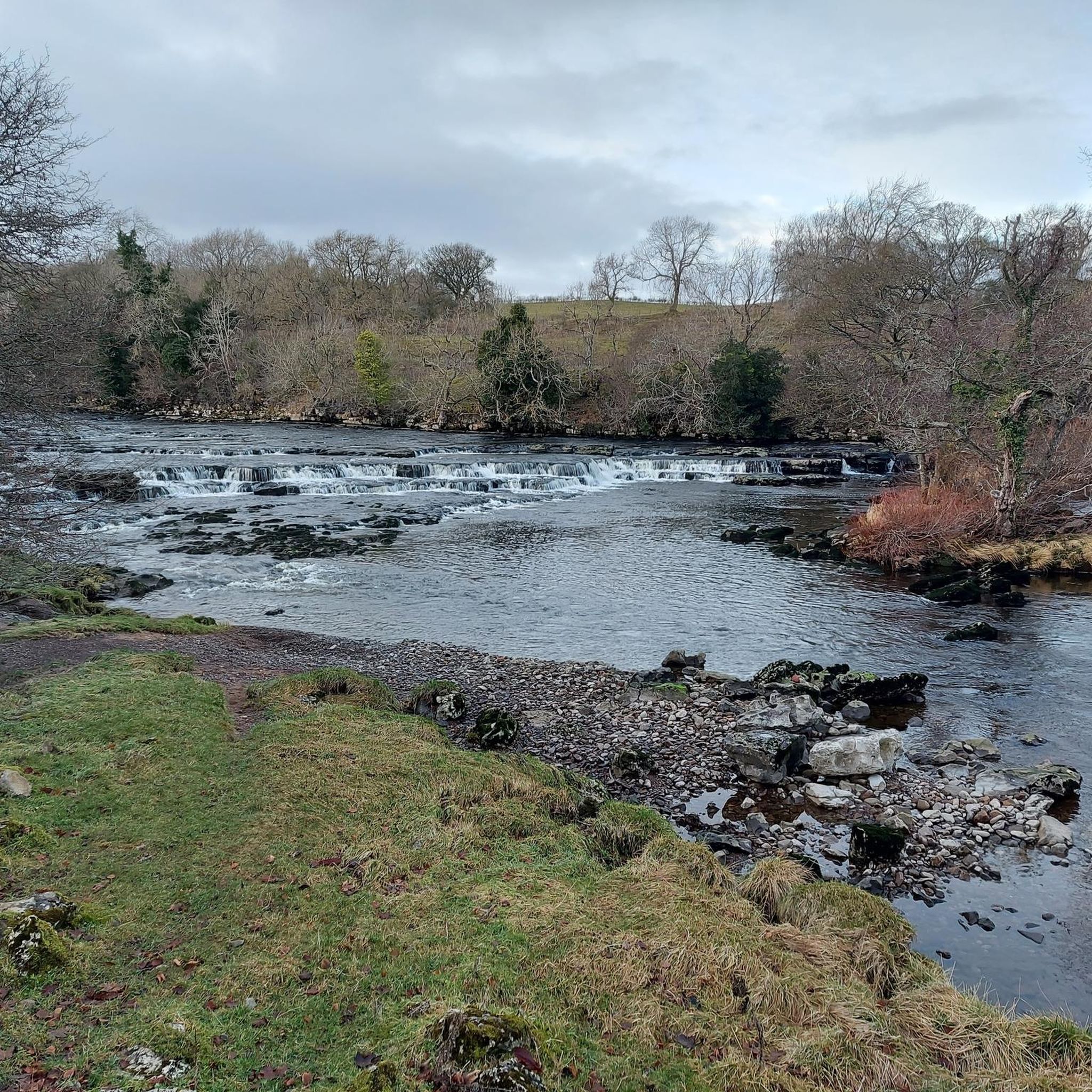
Beyond the cycling itself, the region offers stunning natural attractions. You can find several waterfalls, including Aysgarth Lower Falls and Aysgarth Upper Falls. There are also numerous peaks and summits like Grinton Moor Climb – Greets Moss Summit, offering panoramic views.
What is the best time of year for road cycling in Melmerby?
While specific weather conditions vary, the spring, summer, and early autumn months generally offer the most favorable conditions for road cycling in Melmerby, with milder temperatures and longer daylight hours. Always check local forecasts before heading out, especially when planning to tackle higher elevations.
Are there routes that offer a mix of moderate difficulty and good scenery?
Certainly. The View of Ellerkin Scar – Aysgarth Rock Garden loop from Great Britain is a popular moderate route, offering varied terrain and scenic views over its 45.9 km length, typically completed in under two hours.
Can I find routes that are less crowded or more quiet?
Given the region's expansive moorland and agricultural areas, many routes, especially those venturing further from main villages, offer a sense of tranquility and quiet roads. Exploring routes that traverse the open countryside, such as the Whipperdale Bank – Grinton Moor loop from Middleham, can provide a more peaceful cycling experience.
Most popular attractions around Melmerby

Get inspired with the komoot mobile app


Explore more
Browse the best Road cycling routes in other regions.
