The best running trails around Melbecks
4.3
(11)
1,107
runners
106
runs
Jogging routes around Melbecks traverse dramatic moorland landscapes and historical mining areas within the Yorkshire Dales. The region features expansive, windswept moors, including Melbecks Moor itself reaching 577.7m, and varied elevations like Brownsey Moor at 544m. Limestone cliffs such as High Scar and Low Scar, alongside water features like Gunnerside Gill, contribute to the diverse topography. A network of foot tracks and old mining roads provides numerous paths suitable for running.
Best jogging routes around Melbecks
- The most popular jogging…
Last updated: June 28, 2026
27
runners
18.9km
02:13
470m
470m
Hard run. Very good fitness required. Sure-footedness, sturdy shoes and alpine experience required.
14
runners
9.60km
01:04
230m
230m
Moderate run. Good fitness required. Mostly paved surfaces. Suitable for all skill levels.

Sign up for free
15
runners
13.7km
01:34
400m
400m
Hard run. Very good fitness required. Mostly paved surfaces. Suitable for all skill levels.
11
runners
8.98km
01:05
220m
220m
Moderate run. Good fitness required. Mostly accessible paths. Some sure footedness required.
9
runners
7.15km
00:50
160m
150m
Moderate run. Good fitness required. Mostly paved surfaces. Suitable for all skill levels.
Get access to more routes and recommendations from other explorers.
Sign up for free
Already have an account?
Our route recommendations are based on thousands of hikes, rides, and runs completed by other people on komoot.
Start today with a free account
Your next adventure awaits.
Login or Signup

Tips from the Community

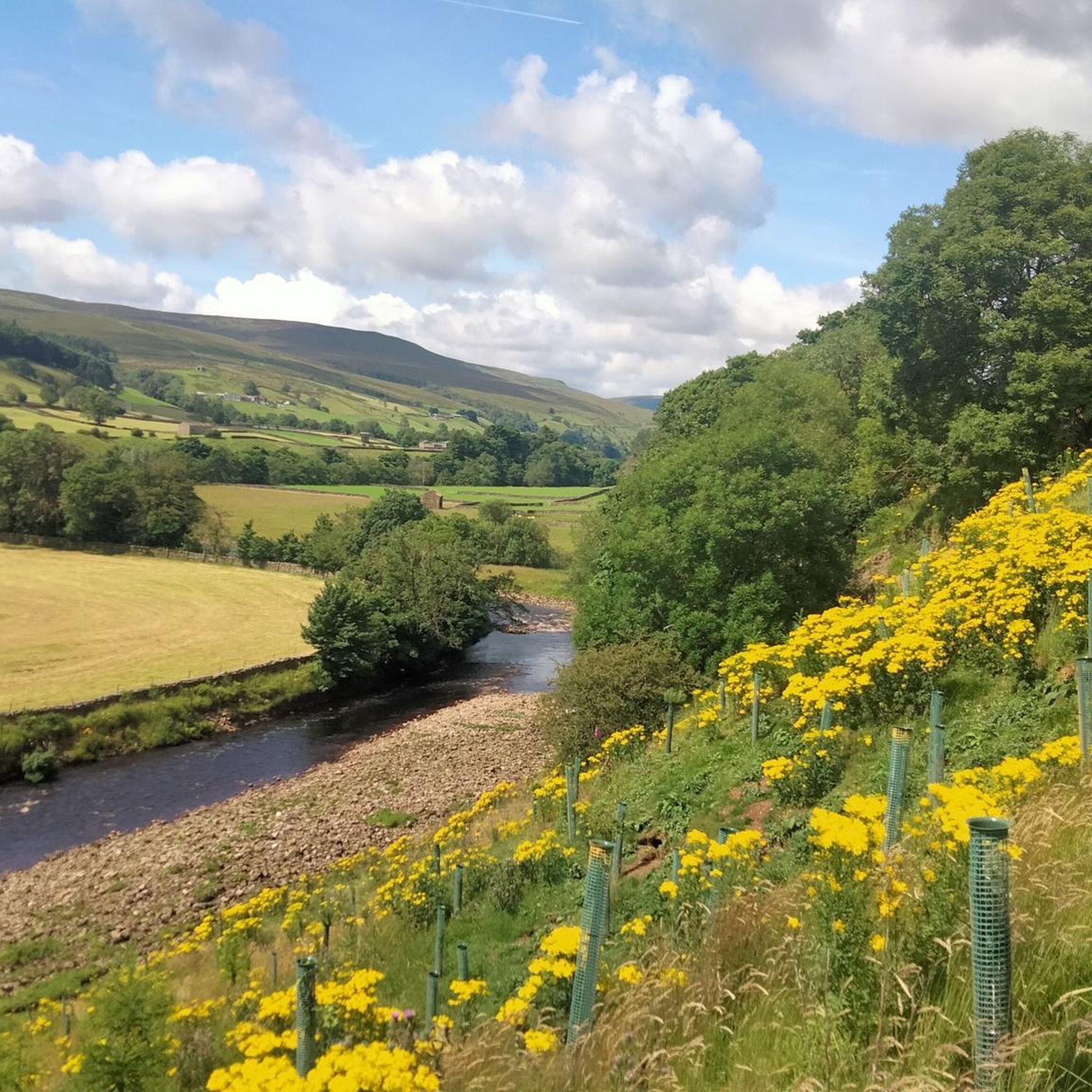
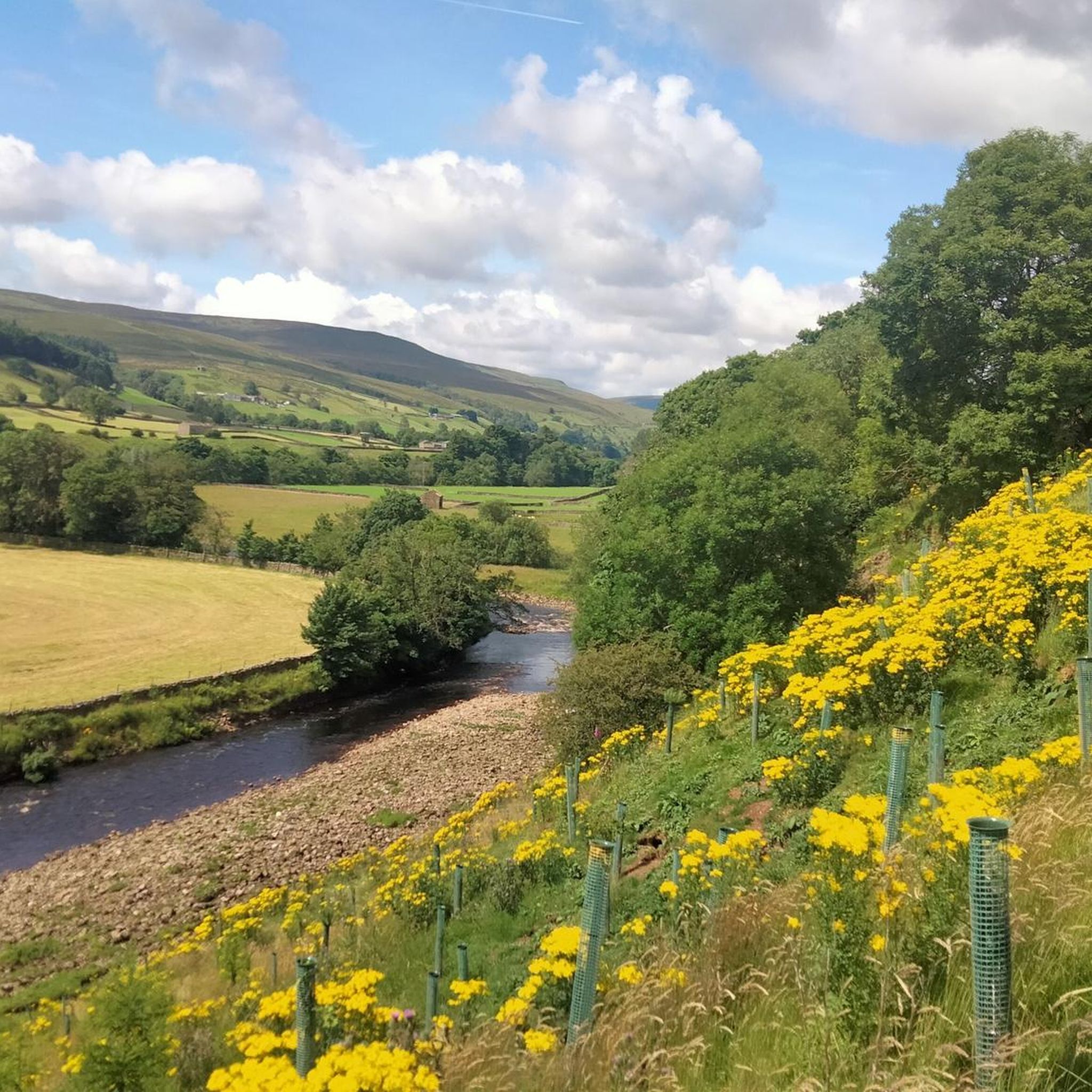
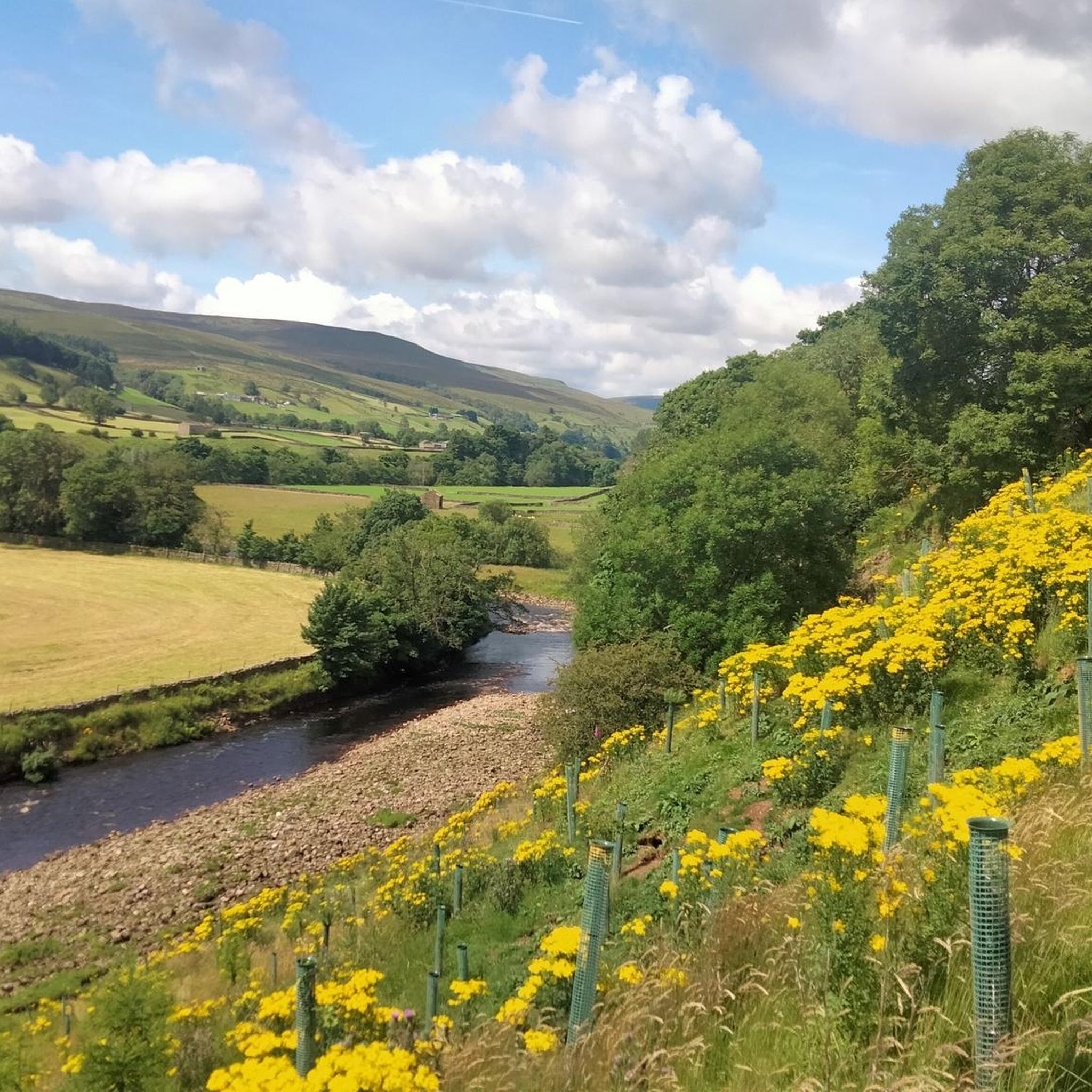
One of the largest and most open village greens in the Yorkshire Dales, historically used for markets, fairs, and livestock trading — the social heart of Swaledale long before tourism arrived. The green’s broad, triangular shape reflects its medieval origins as a common grazing and gathering space. Plenty of parking around the village green, but having arrived at 7am in winter for a hike and finding them all full, I suspect other times of the year will be even more difficult to secure a space.
2
0

A wonderful village on the Coast to Coast Path. There are plenty of places to stay around the village green. The village youth play football on the lawn, including the very young ones. Very nice!
1
0

Leave some extra time if you’ve enjoyed the food at Dales Bike Centre Café. Also be prepared for the Stang or more climbs after this starter
0
0


Impressive views, building and waterfalls. By far my favourite part of the Herriot Way.
0
0

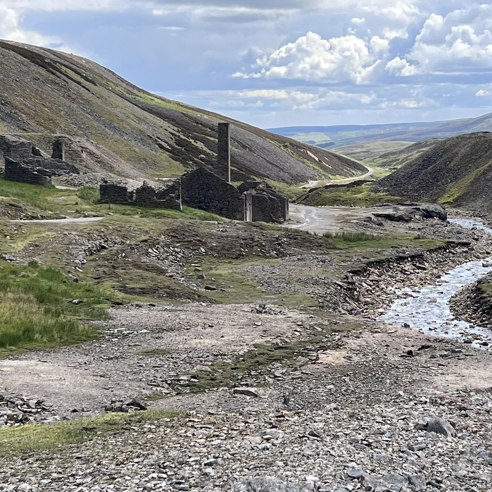
The Old Gang are the ruins of a lead smelting mill, it dates back to the 18th and 19th centuries. It is one of the best preserved up in the north, and is designated a Scheduled Ancient Monument. This trail runs right through it, passing by various building ruins, mine entrances, and the peat store.
1
0

A stunning location with old mine workings, a pack horse bridge, cascading waterfalls, and beautiful beck. All this surrounded by the stunning steep hillsides. I just had to stay here for a while before heading up to Rogan's Seat.
2
0
Frequently Asked Questions
How many running routes are available in Melbecks?
Melbecks offers a wide selection of over 100 running routes, catering to various preferences and fitness levels. The komoot community has explored these trails more than 1000 times, highlighting the area's popularity for outdoor activities.
What is the overall difficulty level of running trails in Melbecks?
The running trails in Melbecks offer a good mix of difficulties. You'll find 7 easy routes, 57 moderate routes, and 43 difficult routes, providing options for beginners looking for a gentle jog as well as experienced runners seeking a challenge.
Are there any circular running routes in Melbecks?
Yes, many of the running routes in Melbecks are circular, allowing you to start and finish at the same point. For example, the East Gill Force – Ivelet Bridge loop from Gunnerside is a popular, challenging circular route, and the Old Gang Smelt Mill Ruins – Pinseat Moonscape loop from Water Splash offers a moderate circular option through historical landscapes.
What kind of terrain can I expect on the running trails in Melbecks?
Expect a diverse and dramatic landscape. The trails traverse expansive, windswept moorland, including Melbecks Moor itself, with varied elevations. You'll encounter limestone cliffs like High Scar and Low Scar, as well as a network of old mining roads and foot tracks. The area is also known for its 'fell running' opportunities, indicating rugged, natural inclines.
What historical landmarks can I discover while jogging in Melbecks?
Melbecks is rich in history, particularly its lead mining heritage. Many routes pass through areas with disused lead mine workings, such as the Old Gang Mines and Lownathwaite Mines. The Old Gang Smelt Mill Ruins – Pinseat Moonscape loop from Water Splash and the Surrender Bridge – Old Gang Smelt Mill Ruins loop from Low Row are excellent choices for exploring these historical sites.
Are there any waterfalls to see along the running routes?
Yes, the Melbecks area features several beautiful waterfalls. You can find East Gill Force, a notable waterfall, and other impressive cascades like Aysgarth Lower Falls, Aysgarth Middle Falls, Aysgarth Upper Falls, and Kisdon Force Waterfall nearby, offering scenic points of interest during your run.
Are there any scenic viewpoints on the trails?
Absolutely. The varied elevation of Melbecks Moor, including peaks like Brownsey Moor (544m) and Melbecks Moor itself (577.7m), provides numerous rewarding views. You can also find specific viewpoints such as Addlebrough Summit and Cairn, offering panoramic vistas of the Yorkshire Dales landscape.
Can I bring my dog on the running trails in Melbecks?
Many trails in the Yorkshire Dales, including those around Melbecks, are dog-friendly. However, it's always recommended to keep dogs on a lead, especially when passing through farmland or during lambing season, to protect livestock and wildlife. Please check local signage for specific restrictions.
Is Melbecks suitable for family-friendly jogs?
While some routes are challenging, there are easier options available that can be suitable for families. Look for the 7 easy-rated routes or some of the moderate trails, which might offer less strenuous paths. Always check the route details for distance and elevation to ensure it matches your family's ability.
What do other runners enjoy the most about jogging in Melbecks?
The running routes in Melbecks are highly rated by the komoot community, with an average score of 4.2 stars from around 9 reviews. Runners often praise the dramatic moorland landscapes, the sense of wildness and solitude, and the unique historical backdrop provided by the old lead mine workings.
What options are there for more challenging or advanced runs?
For advanced runners, Melbecks offers 43 difficult-rated routes, including opportunities for 'fell running' which is popular in the Yorkshire Dales. The East Gill Force – Ivelet Bridge loop from Gunnerside is a challenging 11.7-mile trail with significant elevation gain, perfect for those seeking a demanding workout.
What is the best time of year to go running in Melbecks?
The best time to run in Melbecks can depend on your preference. Spring and summer offer milder weather and vibrant landscapes, though the moorland can be exposed. Autumn brings beautiful colours. Winter runs can be dramatic but require appropriate gear due to potentially harsh weather conditions on the exposed moorland. Always check local weather forecasts before heading out.
Most popular routes around Melbecks
Most popular attractions around Melbecks

Get inspired with the komoot mobile app


Explore more
Browse the best Running Trails & Routes in other regions.
