The best running trails around Stonebeck Down
4.7
(29)
2,325
runners
229
runs
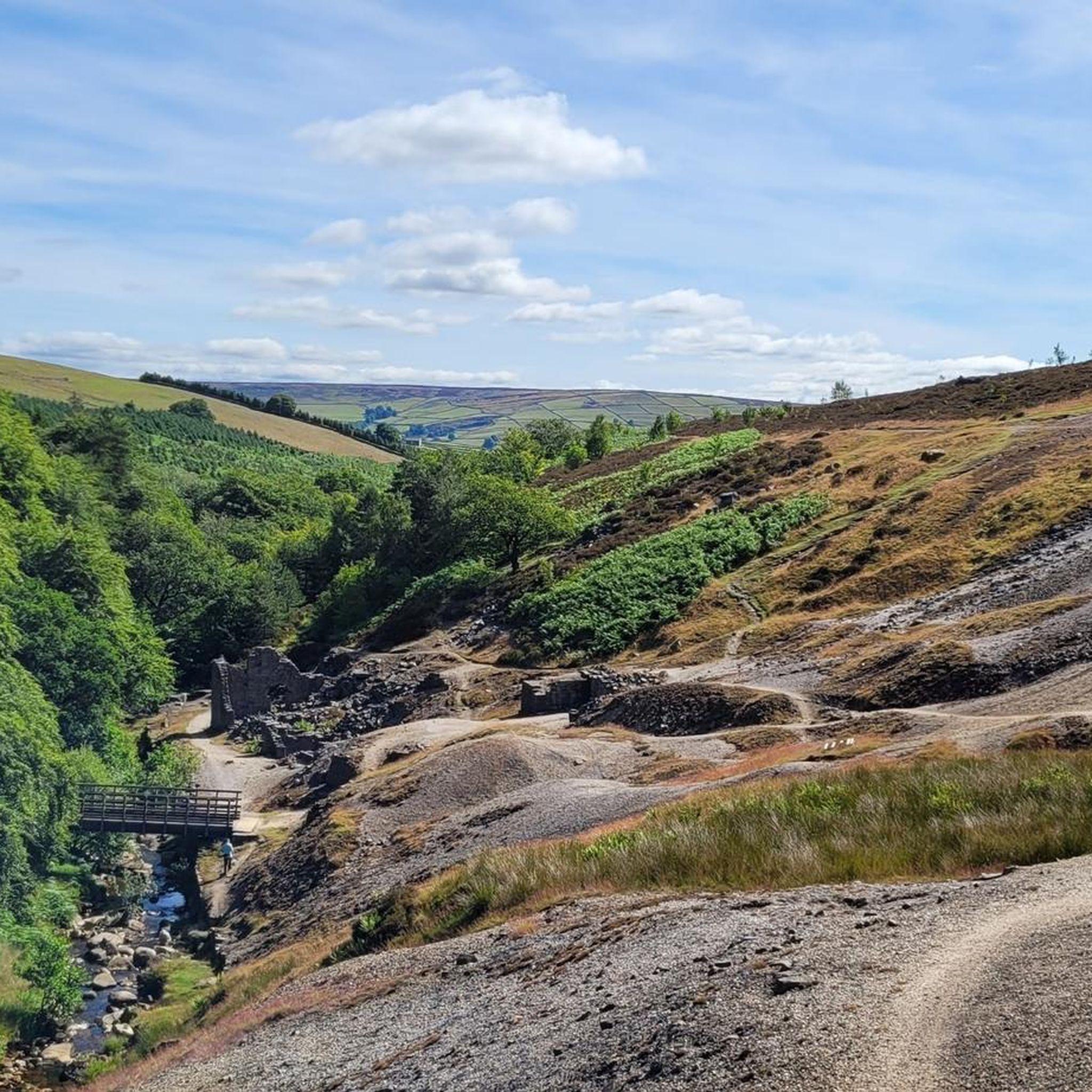
Jogging around Stonebeck Down offers a variety of routes through diverse landscapes. The region features several reservoirs and river paths, providing flat sections ideal for sustained running. Elevated sections and "edges" offer more challenging terrain and expansive views across the area.
Best jogging routes around Stonebeck Down
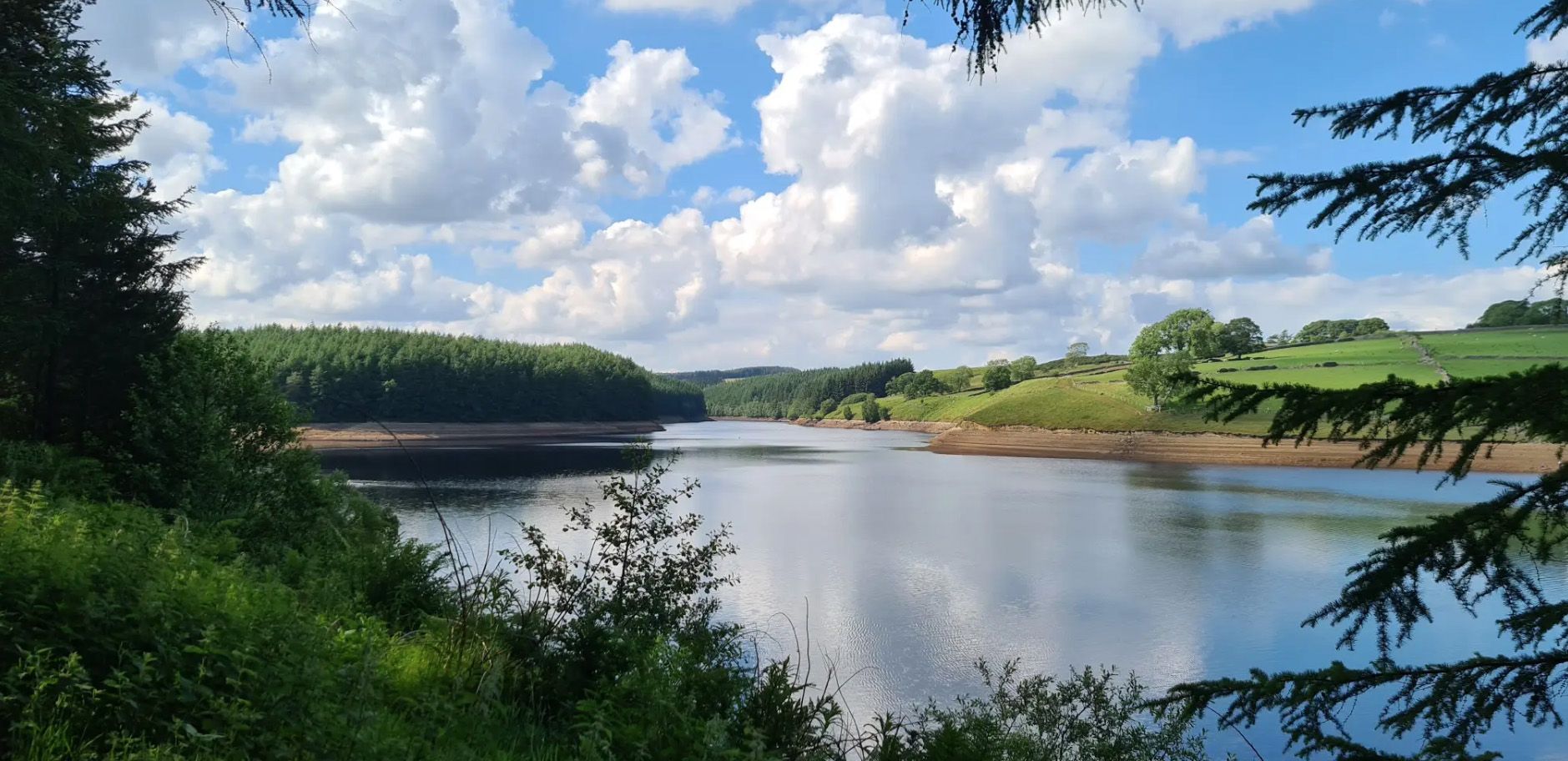
- The most popular jogging route is Scar House Reservoir and Dale Edge Loop, a 10.1 miles (16.2 km) trail that takes 1 hour 51 minutes to complete. This difficult route offers views…
Last updated: September 1, 2026
4.5
(2)
22
runners
16.2km
01:51
410m
410m
Hard run. Very good fitness required. Mostly paved surfaces. Suitable for all skill levels.
24
runners
46.5km
05:28
850m
850m
Hard run. Very good fitness required. Mostly accessible paths. Some sure footedness required.

Sign up for free
20
runners
7.46km
00:53
130m
130m
Moderate run. Good fitness required. Mostly paved surfaces. Suitable for all skill levels.
13
runners
Hard run. Very good fitness required. Mostly paved surfaces. Suitable for all skill levels.
8
runners
12.4km
01:24
270m
270m
Moderate run. Good fitness required. Mostly paved surfaces. Suitable for all skill levels.
Get access to more routes and recommendations from other explorers.
Sign up for free
Already have an account?
Our route recommendations are based on thousands of hikes, rides, and runs completed by other people on komoot.
Start today with a free account
Your next adventure awaits.
Login or Signup
Other adventures around Stonebeck Down

Tips from the Community

A victory memorial, not a roll of honour, hence it lists key WW1 dates and not names. It was originally a drinking fountain and was repurposed as a memorial in 1920.
0
0

One side of the reservoir is road, the other is a fantastic bridleway
0
0


Quintessentially pretty market town, arrive early to find suitable parking, best place is next to the showground on the southern side of the bridge over the River Nidd. Honesty box only (no payment cards), cheap at £1 up to 4 hours and £2 all day (spring 2025 prices). The southern end of Nidderdale around Pateley Bridge has one of the densest concentrations of public footpaths in North Yorkshire, so loads of routeing options. See the North Yorks public rights of way map at https://maps.northyorks.gov.uk/connect/analyst/mobile/#/main?mapcfg=Out_and_About
1
0

Superb off road cycle track, busy, great pub in Ripley the Boars Head.
0
0
Off road track from Ripley leading to the Nidderdale cycle way, includes small country lanes, easy terrains, although hilly in places.
0
0
Frequently Asked Questions
How many running routes are available around Stonebeck Down?
There are over 250 running routes available around Stonebeck Down, catering to a wide range of abilities. You'll find everything from easy jogs to challenging long-distance trails.
Are there easy running routes suitable for beginners or families in Stonebeck Down?
Yes, Stonebeck Down offers several easy running routes. While the majority are moderate to difficult, there are at least 5 routes categorized as easy, perfect for beginners or a relaxed family outing. These often follow flatter sections along reservoirs or river paths.
Can I find circular running routes in the Stonebeck Down area?
Absolutely. Many of the running trails in Stonebeck Down are circular, allowing you to start and finish at the same point. For example, the River Nidd Riverside Path loop from Pateley Bridge offers a pleasant 4.7-mile circular run, and the Gouthwaite Reservoir loop from Pateley Bridge is another great option.
What kind of terrain can I expect on the running trails around Stonebeck Down?
The terrain around Stonebeck Down is quite varied. You'll encounter flat sections along reservoirs and river paths, as well as undulating hills and elevated 'edges' that provide more challenging climbs and descents. This mix offers something for every runner, from gentle jogs to demanding long-distance efforts.
Are there any running routes with good viewpoints in Stonebeck Down?
Yes, many routes offer excellent viewpoints, especially those that venture onto higher ground or 'edges'. The Scar House Reservoir and Dale Edge Loop, for instance, provides expansive views of the reservoir and the surrounding dale. You might also find stunning vistas from areas like Simon's Seat.
Are the running trails around Stonebeck Down dog-friendly?
Many trails in the Stonebeck Down area are suitable for running with dogs, but it's always best to keep them on a lead, especially near livestock or in nature conservation areas. Always check local signage and be mindful of other trail users and wildlife.
What attractions or landmarks can I see while running in Stonebeck Down?
The region boasts several interesting sights. You can run past beautiful natural features like Linton Falls or the Waterfall and Stream in Nidderdale National Landscape. Historic sites and charming villages like Pateley Bridge and Grassington village are also accessible from various routes.
Is there public transport access to the running trails in Stonebeck Down?
Public transport options exist for reaching some trailheads, particularly those starting from larger villages like Pateley Bridge. However, many routes in the more remote parts of Stonebeck Down may require private transport. It's advisable to check local bus schedules for specific starting points.
Where can I find parking for running routes in Stonebeck Down?
Parking is generally available at popular starting points for many routes, especially near reservoirs or villages like Pateley Bridge. Look for designated car parks, but be aware that some smaller trailheads might have limited space. Arriving early, especially on weekends, is often recommended.
Are there any pubs or cafes near the running routes in Stonebeck Down?
Yes, you'll find charming pubs and cafes in the villages scattered throughout the Stonebeck Down area, such as Pateley Bridge and Grassington. These are perfect for a post-run refreshment or a meal. Many offer outdoor seating, ideal for enjoying the local scenery.
What do other runners enjoy most about the trails in Stonebeck Down?
The running trails in Stonebeck Down are highly rated by the komoot community, with an average score of 4.7 stars from over 30 reviews. Runners frequently praise the diverse landscapes, the peaceful reservoir circuits, and the challenging yet rewarding undulating hills.
What is the best time of year for running in Stonebeck Down?
Spring and autumn often provide the most pleasant conditions for running in Stonebeck Down, with milder temperatures and beautiful scenery. Summer can be great, but be prepared for warmer weather and potentially more visitors. Winter running is possible, but trails can be muddy or icy, especially on higher ground, so appropriate gear is essential.
Are there any long-distance running trails in Stonebeck Down?
Yes, Stonebeck Down offers several challenging long-distance running trails. A notable example is the Hollybank Lane – Brimham Rocks loop from Pateley Bridge, which spans 28.7 miles (46.2 km) and features significant elevation gain, making it ideal for experienced runners seeking a longer challenge.
Most popular routes around Stonebeck Down
Most popular attractions around Stonebeck Down

Get inspired with the komoot mobile app


Explore more
Browse the best Running Trails & Routes in other regions.
