The best MTB trails around Colsterdale
4.4
(88)
652
riders
31
rides
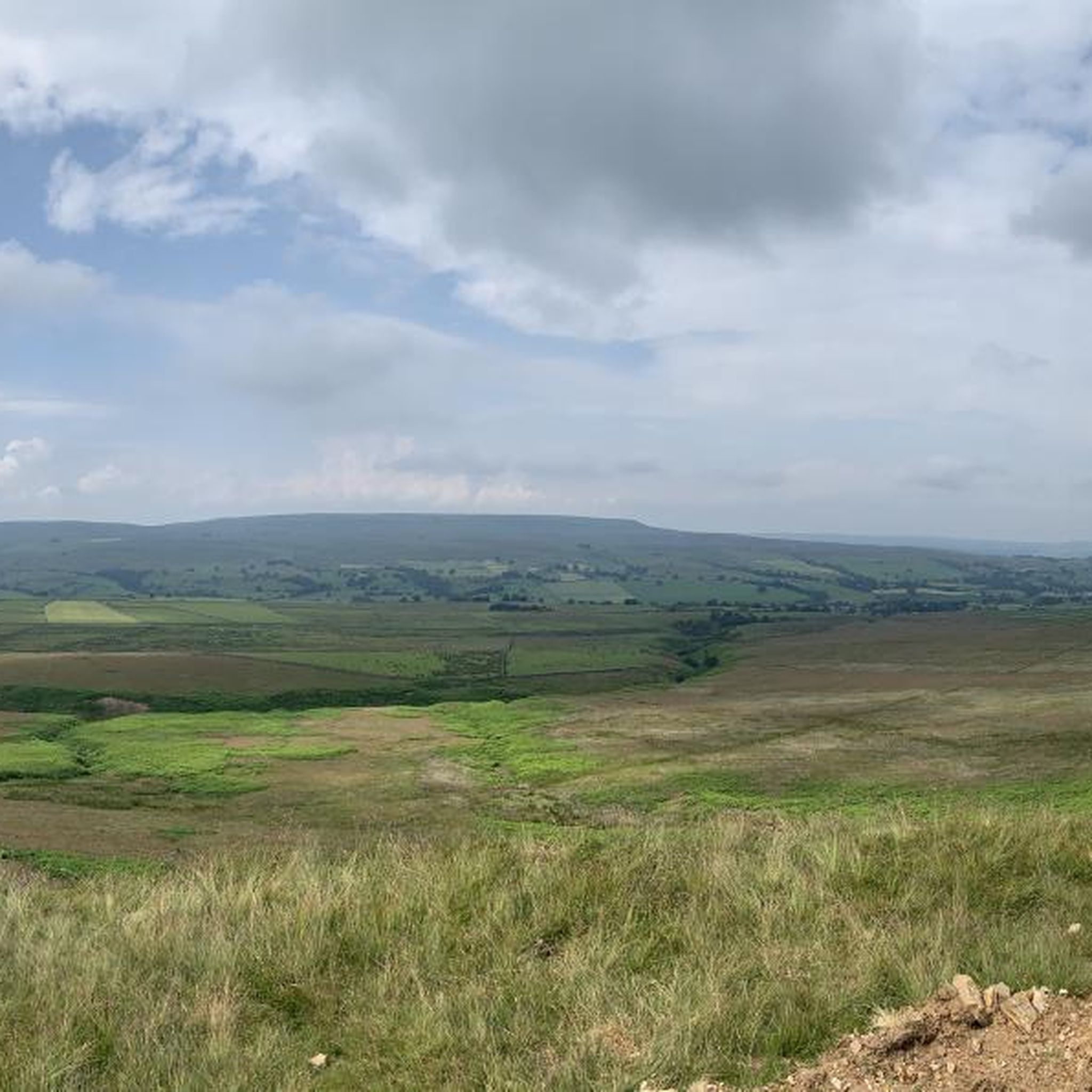
Mountain biking around Colsterdale offers a diverse landscape characterized by rolling hills, open moorland, and scenic valleys within the wider Yorkshire Dales. The region features a mix of bridleways and tracks, providing varied terrain for mountain bikers. Routes often pass by historical sites and reservoirs, integrating natural beauty with points of interest. This area provides opportunities for both leisurely rides and more challenging excursions across its varied topography.
Best mountain bike trails around Colsterdale
- The most popular mountain bike trail…
Last updated: October 11, 2026
4.7
(28)
199
riders
24.1km
02:01
520m
520m
Moderate mountain bike ride. Good fitness required. Suitable for all skill levels.
2.0
(1)
4
riders
4.71km
00:28
140m
140m
Easy mountain bike ride. Great for any fitness level. Suitable for all skill levels.

5.0
(4)
24
riders
16.9km
01:41
490m
490m
Moderate mountain bike ride. Good fitness required. Suitable for all skill levels.
5.0
(2)
8
riders
19.4km
01:33
340m
340m
Moderate mountain bike ride. Good fitness required. Suitable for all skill levels.
5.0
(1)
4
riders
23.5km
01:58
490m
490m
Moderate mountain bike ride. Good fitness required. Suitable for all skill levels.
Get access to more routes and recommendations from other explorers.
Already have an account?
Our route recommendations are based on thousands of hikes, rides, and runs completed by other people on komoot.
Start today with a free account
Your next adventure awaits.


Tips from the Community

A hidden gem and interesting story behind the construction of the Temple. Beautiful views and an interesting undulating walk through stunning countryside.
0
0


Quaint and traditional internally. A few picnic tables are located at the front which look out onto the village green
1
1
A great little shop and tea room to stock up on fluids and snacks
1
0
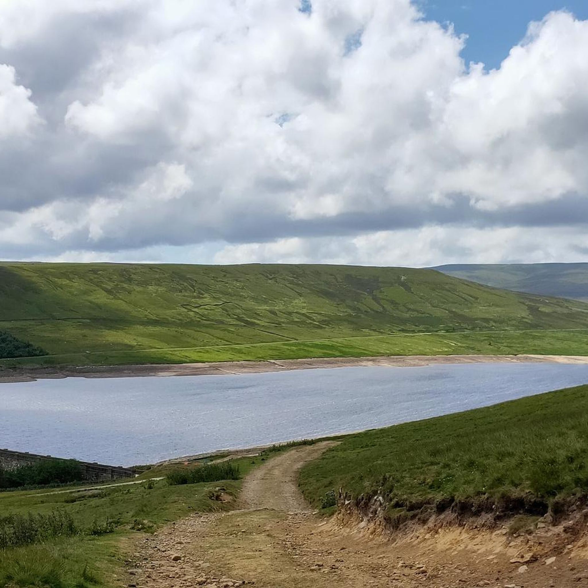
In Moor lane is a byway that runs over In Moor in Nidderdale. This section is fun on a mountain bike, either as a descent towards Scar House reservoir or as a climb up onto the moor. It drops off the moor to the reservoir quite steeply, so watch out! This track is used by the Nidderdale Way long distance walking trail, so watch out for walkers.
0
0

the drive to the temple was well worth it. You will find a cafe, and family area, before a short walk up to the temple. the set up of the rock formations is mind blowing, but very interesting. a big tick for me to visit again.
1
1

Scar House Reservoir is located in Nidderdale, North Yorkshire, England. The dam that forms Scar House Reservoir is an impressive structure. Here are some key points about Scar House Reservoir's dam: Construction: The construction of Scar House Reservoir began in 1921 and was completed in 1936. The purpose of the reservoir was to supply water to the Bradford area. Height and Type: The dam is an earth embankment dam, which means it is constructed using compacted earth. The height of Scar House Dam is approximately 72 meters (236 feet), making it one of the tallest dams in England. Reservoir Capacity: Scar House Reservoir has a capacity of around 40 billion liters (8.8 billion gallons) of water. The reservoir is part of a network of reservoirs in the area that collectively serve the purpose of water supply. Water Source: The reservoir collects water from the surrounding hills and moorlands, storing it for supply to the cities and towns downstream, particularly Bradford. Recreation: Apart from its primary function of water supply, Scar House Reservoir and its surrounding area also offer recreational opportunities. The reservoir is situated in a scenic landscape, making it a popular destination for walkers and nature enthusiasts. Management: The reservoir and dam are managed by Yorkshire Water, a company responsible for providing water and wastewater services in the Yorkshire region.
0
0
Good footpaths for the majority of the walk all the way to Scar House reservoir
0
0
Frequently Asked Questions
How many mountain bike trails are there in Colsterdale?
Colsterdale offers a good selection of mountain bike trails, with over 30 routes available for exploration. These trails cater to various skill levels, from easy rides to more challenging excursions.
Are there easy mountain bike trails in Colsterdale suitable for beginners?
Yes, Colsterdale has several easy mountain bike trails. An excellent option for beginners is the Swinton Bivouac loop — Yorkshire Dales, which is an easy 2.9-mile (4.7 km) trail with gentle gradients, typically taking about 28 minutes to complete.
Are there challenging mountain bike trails for experienced riders in Colsterdale?
Yes, Colsterdale offers trails for experienced riders looking for a challenge. While most routes are moderate, there are a few difficult trails available. For a longer, moderate ride with varied terrain, consider the Middleham Castle – Bolton Castle loop from Middleham, which covers 19.4 miles (31.3 km) and includes significant elevation changes.
What is the best time of year to go mountain biking in Colsterdale?
The best time to go mountain biking in Colsterdale is generally from late spring to early autumn (May to October). During these months, the weather is usually milder, and the trails are drier, making for more enjoyable riding conditions across the open moorland and valleys.
What are the typical trail conditions like in Colsterdale?
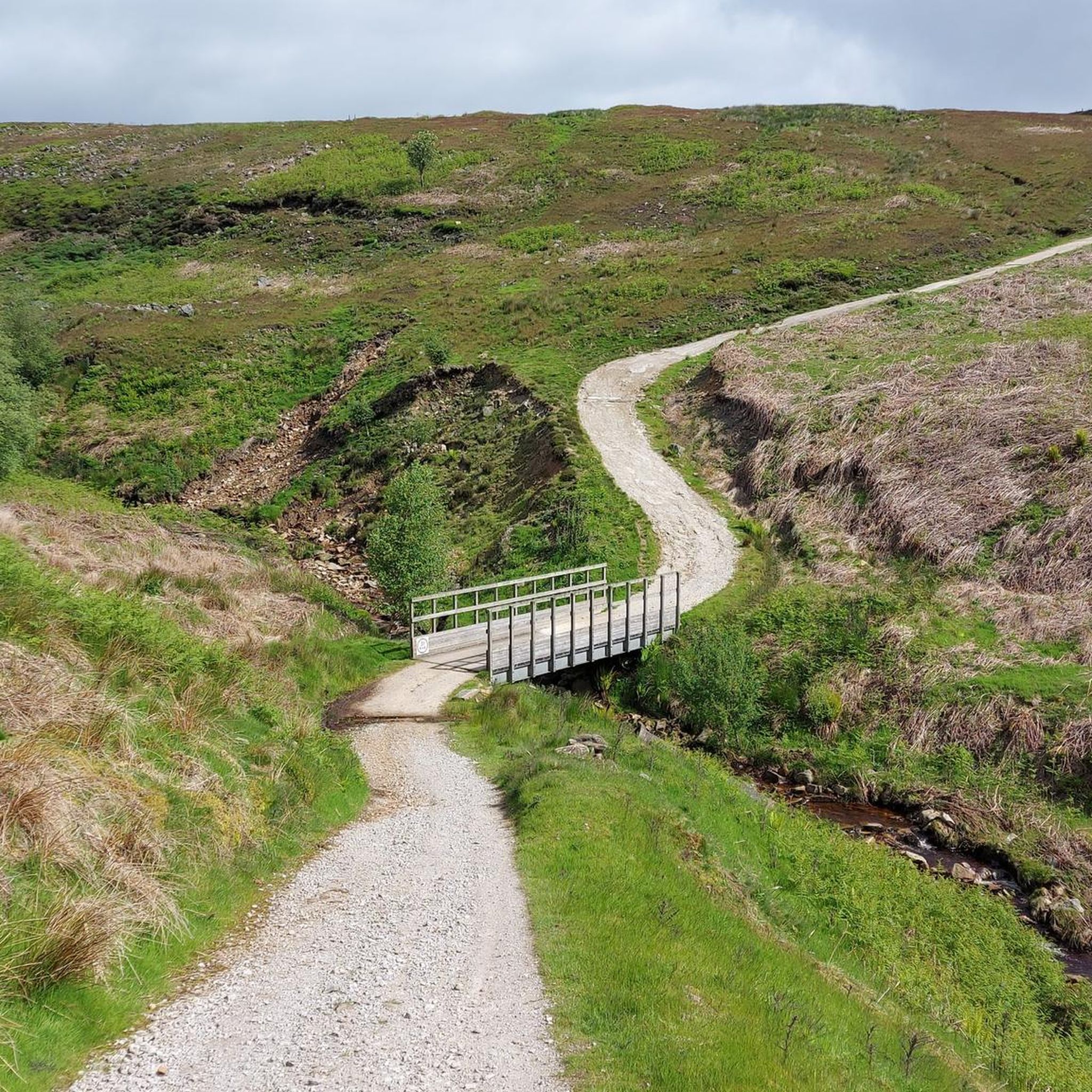
Colsterdale's mountain bike trails feature a mix of bridleways and tracks. You can expect varied terrain, including rolling hills, open moorland, and scenic valleys. Conditions can range from firm gravel paths to potentially muddy sections, especially after rain, given the region's natural landscape within the Yorkshire Dales.
Can I find circular mountain bike routes in Colsterdale?
Yes, many of the mountain bike routes in Colsterdale are circular, allowing you to start and finish at the same point. For example, the Coverdale Valley – Coverdale Road loop from Carlton Town is a popular moderate circular route through picturesque scenery.
Which mountain bike trails offer the best views in Colsterdale?
Many trails in Colsterdale offer scenic views of the Yorkshire Dales. Routes that traverse open moorland or pass by reservoirs often provide expansive vistas. The Scar House Reservoir and Dam loop from Scar House Reservoir is known for its views of the reservoir and surrounding landscape.
Are there any interesting landmarks or attractions along the mountain bike trails in Colsterdale?
Yes, Colsterdale's trails often integrate natural beauty with points of interest. You might encounter historical sites, reservoirs, and other natural features. Notable attractions in the wider area include the impressive Scar House Reservoir Dam and the unique Druid's Temple loop from Ilton-cum-Pott, which passes by an intriguing folly.
Are there any waterfalls accessible from mountain bike trails in Colsterdale?
While direct access from mountain bike trails can vary, the Colsterdale area is close to several beautiful waterfalls. You can find highlights like Hackfall Wood and Cauldron Falls in the wider region, which might be incorporated into a ride or visited separately.
What do other mountain bikers enjoy the most about mountain biking in Colsterdale?
The area is highly rated by the komoot community, with an average score of 4.27 stars from over 70 reviews. Reviewers often praise the diverse landscape, the mix of bridleways and tracks, and the integration of natural beauty with historical sites and reservoirs. Many appreciate the options for both leisurely rides and more challenging excursions.
How long do mountain bike trails in Colsterdale typically take?
The duration of mountain bike trails in Colsterdale varies significantly depending on the route's length and difficulty. Easy trails, like the Swinton Bivouac loop, can be completed in under 30 minutes. Moderate routes, such as the Druid's Temple loop (14.6 miles / 23.5 km), typically take around 2 hours. Longer, more challenging routes can extend to 2.5 hours or more.
Are there mountain bike trails in Colsterdale that pass by pubs or cafes?
While specific routes are not explicitly listed as passing pubs, the Yorkshire Dales region is known for its welcoming villages and rural pubs. Many routes start or finish near villages where you can find refreshments. Planning your route to include a stop in a nearby village is often possible.
Most popular attractions around Colsterdale

Get inspired with the komoot mobile app


Explore more
Browse the best MTB trails in other regions.
