The best running trails around Whorlton
4.0
(5)
380
runners
24
runs
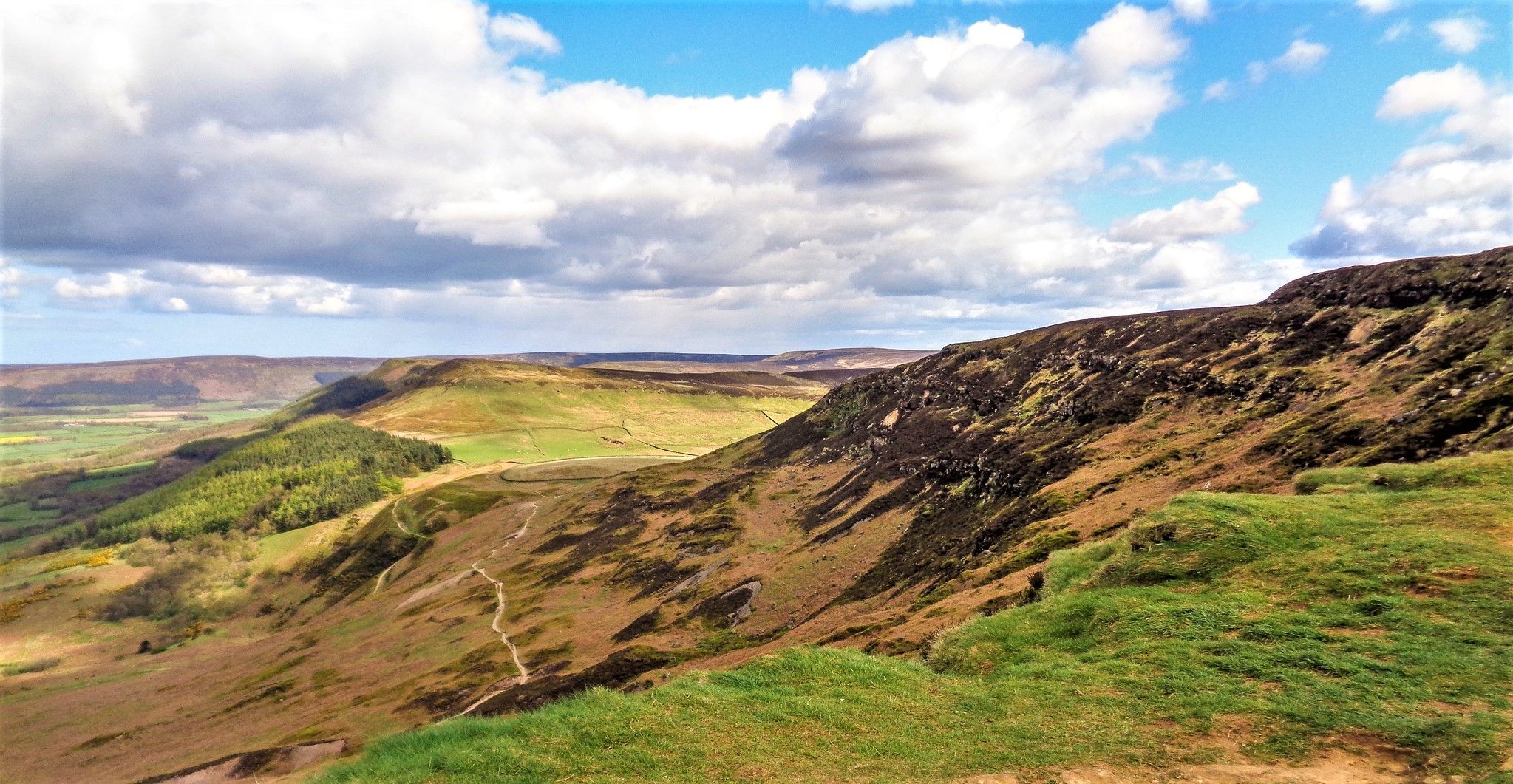
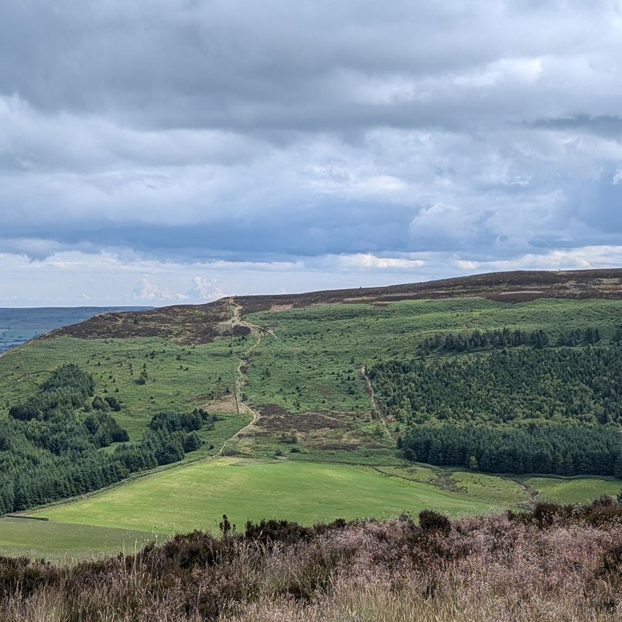
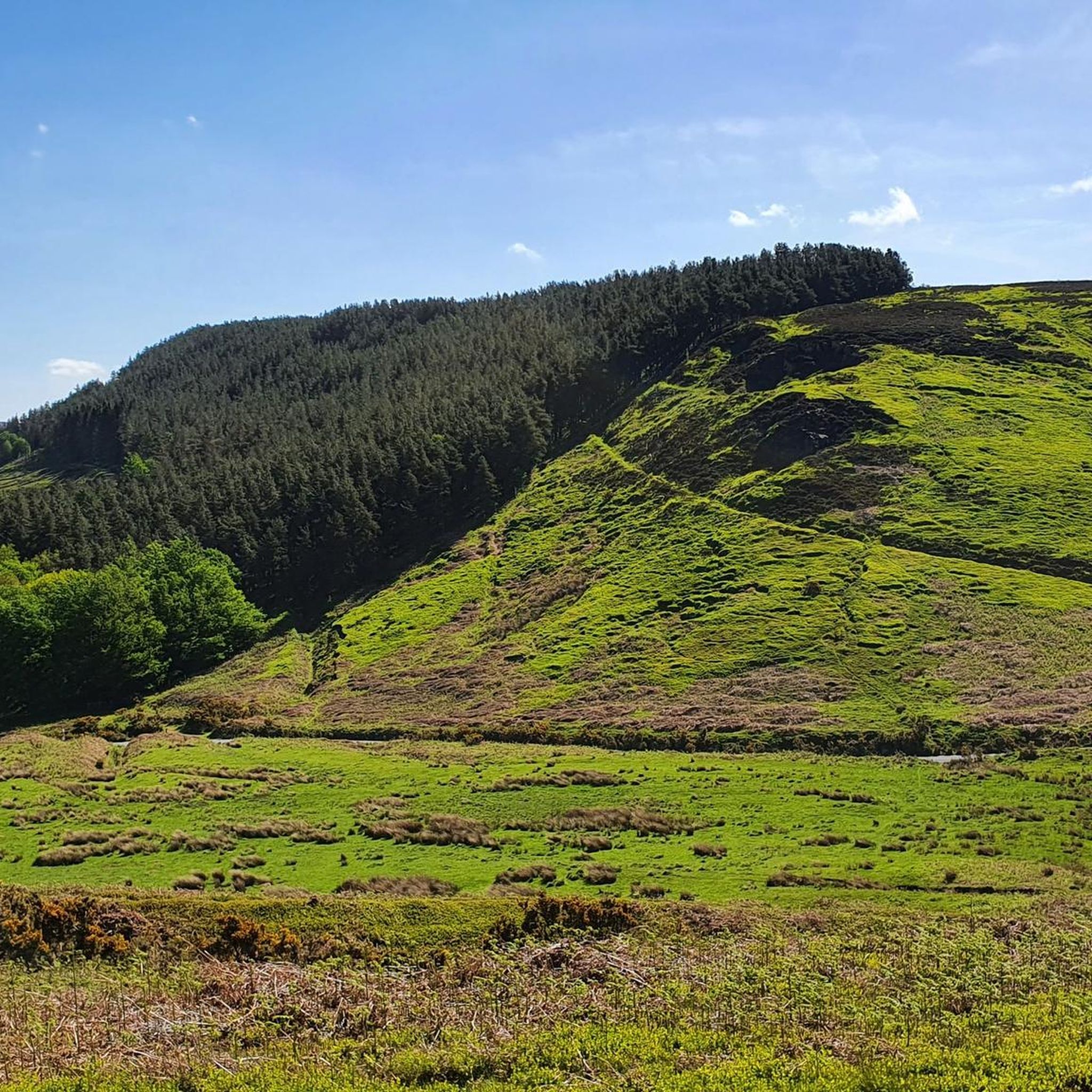
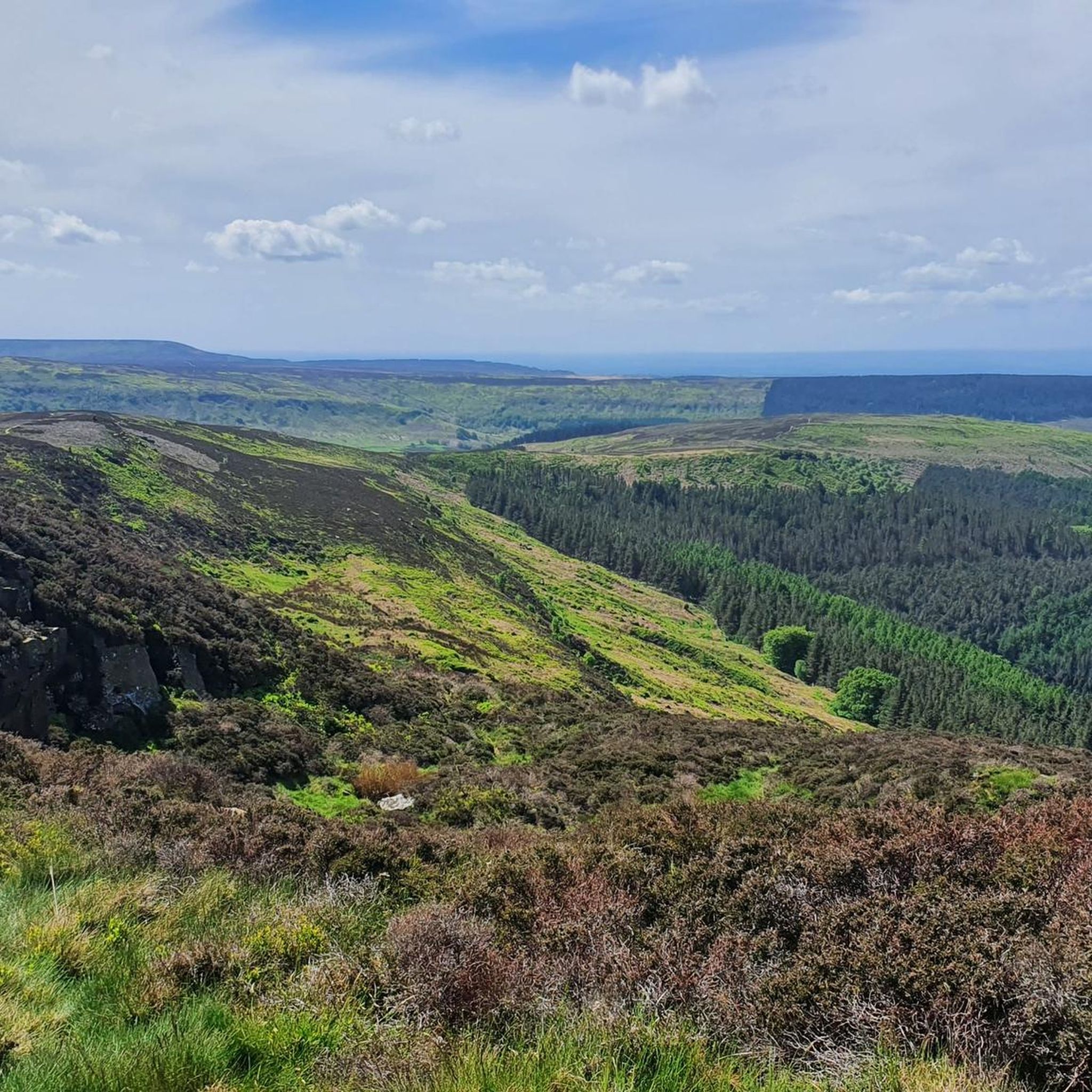
Jogging routes around Whorlton offer a diverse landscape for runners, situated on the north bank of the River Tees. The area is characterized by its position within the Pennine Dales Fringe, featuring varied topography with slopes and several river valleys. Runners can explore routes along wooded riverbanks, through rolling countryside, and within well-wooded areas. This blend of riverside paths and rural landscapes provides a range of options for outdoor activity.
Best jogging routes around Whorlton
- The most popular jogging route…
Last updated: October 8, 2026
5.0
(2)
37
runners
9.67km
01:04
170m
170m
Moderate run. Good fitness required. Mostly paved surfaces. Suitable for all skill levels.
2.0
(1)
30
runners
Moderate run. Good fitness required. Mostly paved surfaces. Suitable for all skill levels.

34
runners
18.0km
02:00
280m
280m
Hard run. Very good fitness required. Mostly paved surfaces. Suitable for all skill levels.
25
runners
2.56km
00:17
10m
10m
Easy run. Great for any fitness level. Mostly paved surfaces. Suitable for all skill levels.
5.0
(1)
24
runners
12.0km
01:21
190m
190m
Moderate run. Good fitness required. Mostly paved surfaces. Suitable for all skill levels.
Get access to more routes and recommendations from other explorers.
Already have an account?
Our route recommendations are based on thousands of hikes, rides, and runs completed by other people on komoot.
Start today with a free account
Your next adventure awaits.


Other adventures around Whorlton

Tips from the Community

Stayed at one of the local pubs, was good but their internet connection was non-existent, had to pay for a 24hr hotspot with EE
0
0

You’ll have to jump over the wall and fence from the footpath to touch the trig pillar
0
0
Expansive views full of heather with Roesberry Topping in the distance
1
0


Miley Pike Hill 316.5m P6.5 Unclassified This Bronze Age round barrow is located on the culmination of a gentle hill in the western part of the North York Moors National Park. The mound is 1.5m high and has 23m in diameter. In its centre there are remains of a shooting hut.
0
0


Easy parking (ice cream van in summer!) at Sheep Wash, great path through the coniferous wood running along the southern edge of the reservoir, awesome views, cool breeze across the water, option to follow numerous tracks east into the woods around Cote Garth and Golden Square. Lots of familys, dog walkers and hikers - something for everyone here.
1
0
Quintessential North Yorkshire village, very picturesque with good amenities and access points to the northwest of the NYM National Park. However, can be very congested with cars so parking is difficult. Drive north and park at Cod Beck Reservoir, then add Osmotherley to your hiking route. Lots of roads and public footpaths to choose from.
1
0
Frequently Asked Questions
How many running routes are available around Whorlton?
Whorlton offers a selection of over 20 diverse running routes, catering to various preferences and fitness levels. These routes explore the tranquil riverside, rolling countryside, and wooded areas of the Pennine Dales Fringe.
Are there easy jogging routes suitable for beginners in Whorlton?
Yes, Whorlton has 3 easy jogging routes perfect for beginners or those looking for a lighter run. You can enjoy gentle paths around the village green or along the peaceful River Tees, offering a charming backdrop for your activity.
What options are there for long-distance running in Whorlton?
For those seeking a challenge, Whorlton features 6 difficult running routes. A notable option is the View from Beacon Hill Summit – Osmotherley South End Climb loop from Cod Beck Reservoir, which spans over 33 kilometers and offers significant elevation changes across varied terrain.
Can I find circular running routes in Whorlton?
Many of the running routes around Whorlton are circular, allowing you to start and finish in the same location. For example, the popular Beacon Hill loop from Whorlton is a moderate 10.3 km circular trail that offers elevated views.
What historical landmarks can I see along the jogging routes?
Whorlton's running routes often pass by or near significant historical landmarks. You can explore the remains of Whorlton Castle, including its 14th-century gatehouse, or discover the iconic Whorlton Bridge, Britain's second oldest suspension bridge. The Whorlton Castle – Wooden Bridge Over Piper Beck loop from Whorlton is a great option to combine running with historical exploration.
Are there any family-friendly running trails in Whorlton?
While specific 'family-friendly' routes are not explicitly categorized, the easier jogging paths along the River Tees or around the village green provide a pleasant and safe environment for families to enjoy a run together. These areas are generally flatter and offer scenic views.
What do other runners enjoy most about jogging in Whorlton?
The running routes in Whorlton are highly rated by the komoot community, with an average score of 4.0 stars. Runners often praise the diverse landscape, from peaceful riverside paths to rolling countryside and wooded areas, as well as the opportunity to encounter historical sites like Whorlton Castle.
Are the running trails in Whorlton suitable for dogs?
Many of the outdoor trails in Whorlton, particularly those through the countryside and wooded areas, are generally suitable for dogs. However, it's always recommended to keep dogs on a lead, especially near livestock or in areas with wildlife, and to check local signage for any specific restrictions.
What kind of natural scenery can I expect on the running routes?
Whorlton offers a blend of natural beauty, including serene riverside paths along the River Tees, rolling countryside, and well-wooded areas. The region is part of the Pennine Dales Fringe, providing varied topography with slopes and river valleys, making for a dynamic and picturesque running experience.
Are there any routes that offer elevated views?
Yes, several routes provide elevated views of the surrounding landscape. The Scarth Wood Moor – View from Beacon Hill Summit loop from Cod Beck Reservoir is a moderate path that traverses moorland and offers scenic vistas from the summit of Beacon Hill.
Can I combine my run with a visit to a nearby attraction?
Absolutely! Many routes are close to interesting attractions. For instance, you could plan a longer run to include Cod Beck Reservoir, or explore the historic Osmotherley Village Green and Medieval Cross. The area also features natural monuments like Carlton Bank Summit Trig Point.
What is the best time of year for jogging in Whorlton?
Whorlton's landscapes are beautiful year-round. Spring and summer offer lush greenery and longer daylight hours, while autumn brings vibrant colors to the wooded areas. The varied terrain means there are options for different weather conditions, though riverside paths can be particularly peaceful in milder seasons.
Most popular routes around Whorlton
Most popular attractions around Whorlton

Get inspired with the komoot mobile app


Explore more
Browse the best Running Trails & Routes in other regions.
