The best walks and hikes around Over Silton
4.5
(992)
7,925
hikers
225
hikes
Hikes around Over Silton explore the western edge of the North York Moors National Park. The landscape is defined by the rolling Hambleton Hills, dense woodlands like Silton Forest, and tranquil reservoirs. Trails consist of a mix of country lanes, forest footpaths, and open moorland tracks, with some routes connecting to the long-distance Cleveland Way.
Best hiking trails around Over Silton
- The most popular hiking route is the Black Hambleton and Thimbleby Bank Plantation loop — North York Moors National Park, a 10.3 mile (16.6 km) trail that takes about 4 hours 45 minutes to complete. This moderate hike involves an ascent of Black Hambleton.
- Another top favourite among local hiking enthusiasts is the Black Hambleton Summit Cairn – View of White Gill Head loop from Nether Silton, a moderate 8.8 mile (14.2 km) path. The route features views from the summit cairn across the surrounding moorland.
- Local hiking enthusiasts also love the Osmotherley Village – Cod Beck Reservoir loop from Kepwick, a 6.5 mile (10.5 km) trail leading through woodland to the reservoir, often completed in about 2 hours 55 minutes.
- Hiking around Over Silton is defined by rolling hills, dense forests, and open moorland. The network of footpaths near Over Silton provides options for both moderate, longer hikes and shorter, more accessible walks.
- The routes in Over Silton are highly rated by the komoot community with an average score of 4.6 stars from over 800 reviews. More than 7,000 hikers have used komoot to explore Over Silton's varied terrain.
Last updated: October 12, 2026
4.5
(14)
47
hikers
16.6km
04:46
400m
400m
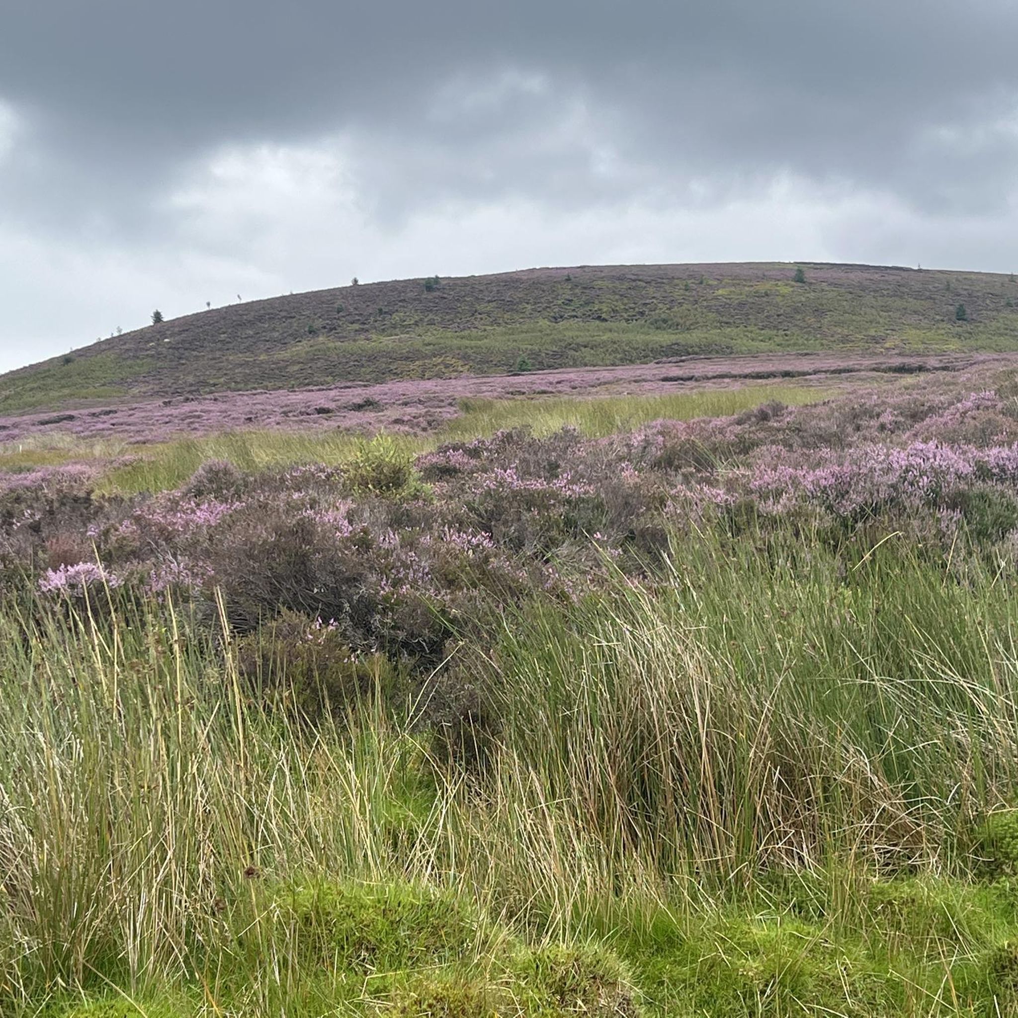
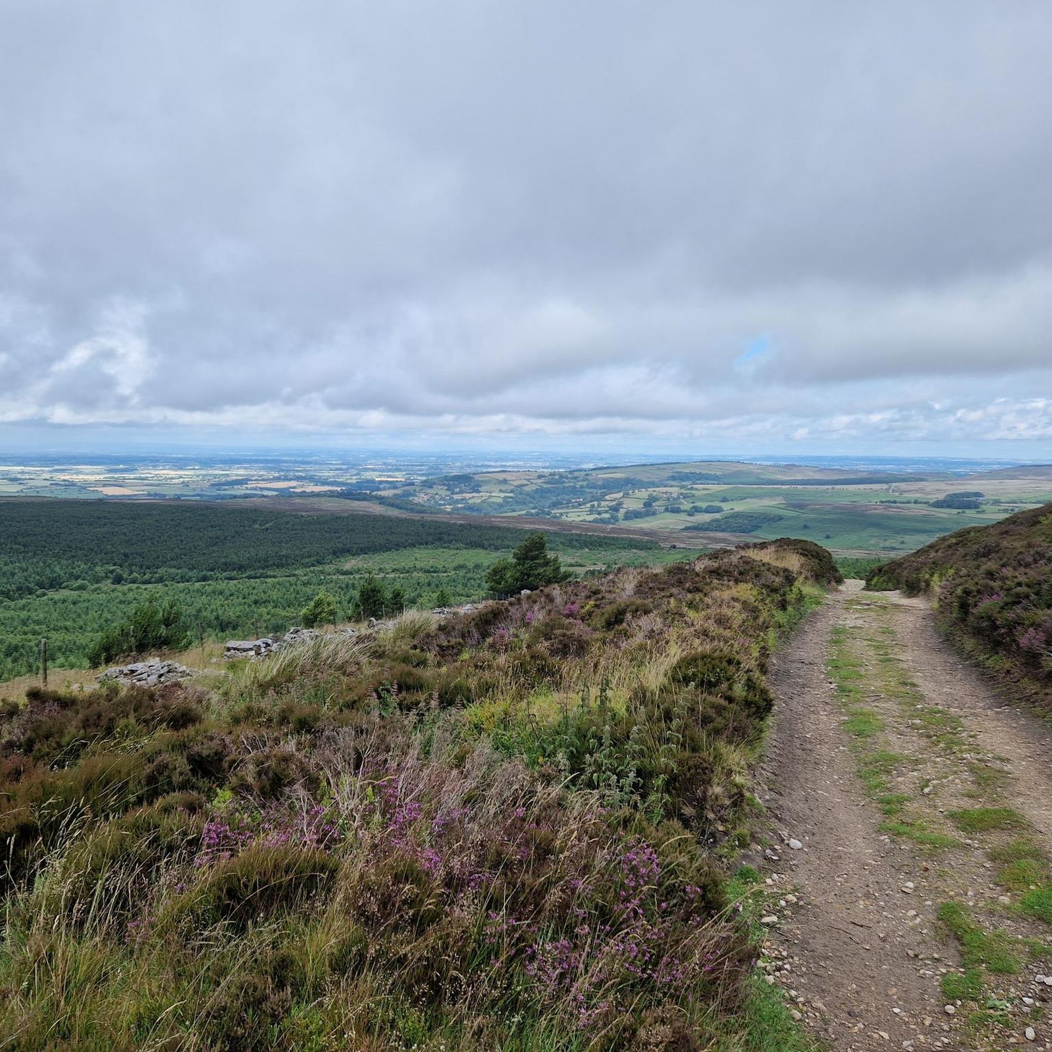
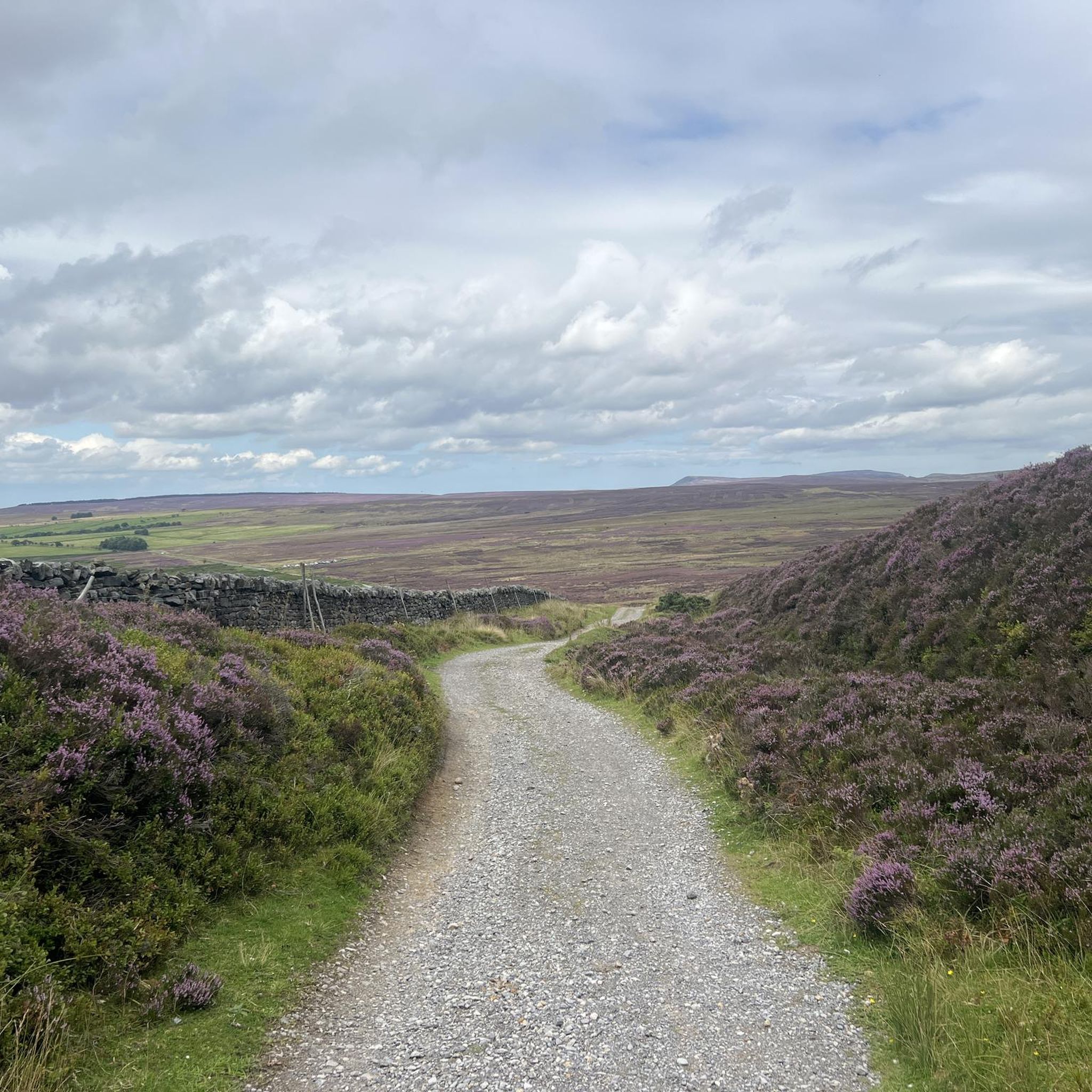
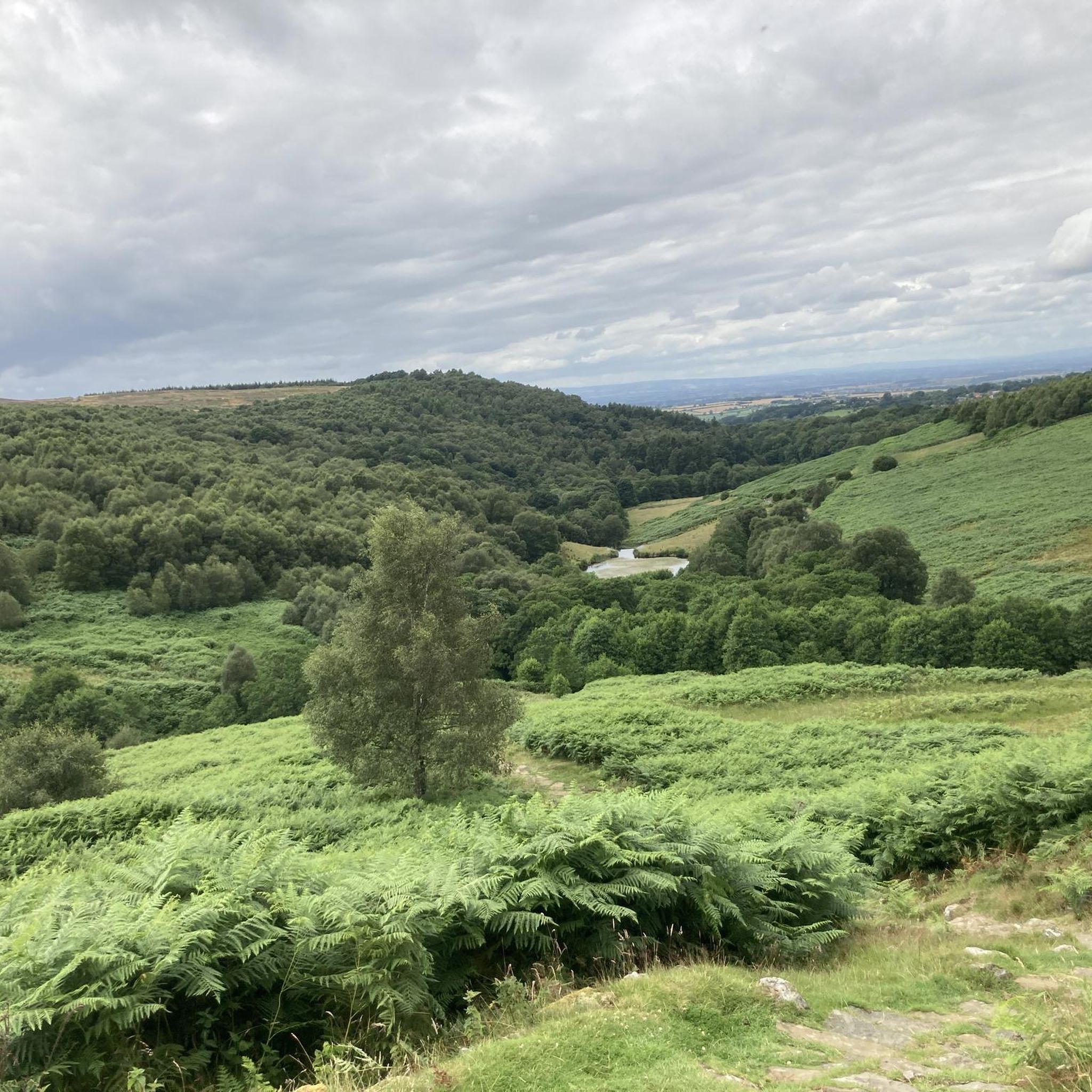
The Cleveland Way and Black Hambleton Loop offers a diverse hiking experience through open moorland, dense forests, and working farmland. As you hike this moderate 10.3-mile (16.6 km) route, you'll gain about 1300 feet (396 metres) in elevation, which typically takes around 4 hours and 45 minutes to complete. You can expect impressive views across the Vales of York and Mowbray, with the picturesque Upper Oakdale Reservoir nestled among forested slopes providing a tranquil focal point. The path varies from broad tracks to narrower sections winding through heather, making for an engaging journey.
Finding parking at the trailhead for this loop is usually straightforward, making it easy to start your adventure. While the route is generally well-marked, carrying a map is a good idea, especially when passing through farmland sections, to help you stay on track. Be prepared for potentially muddy and waterlogged conditions, particularly after rainfall, so waterproof footwear is highly recommended. Starting earlier in the day will give you ample time to enjoy the scenery without rushing.
This hike is set within the beautiful North York Moors National Park, known for its expansive and varied landscapes. The trail highlights the dramatic White Gill Head along Hambleton Street, showcasing the natural ruggedness of the area. On clear days, you might even spot Great Whernside in the distant Yorkshire Dales, adding another layer to the already impressive vistas. It's a great way to experience the unique character of this national park.
4.8
(9)
78
hikers
Moderate hike. Good fitness required. Easily-accessible paths. Suitable for all skill levels.

5.0
(13)
87
hikers
Moderate hike. Good fitness required. Easily-accessible paths. Suitable for all skill levels.
5.0
(9)
55
hikers
Moderate hike. Good fitness required. Easily-accessible paths. Suitable for all skill levels.
4.3
(7)
37
hikers
10.2km
02:59
270m
270m
Moderate hike. Good fitness required. Easily-accessible paths. Suitable for all skill levels.
Get access to more routes and recommendations from other explorers.
Already have an account?
Our route recommendations are based on thousands of hikes, rides, and runs completed by other people on komoot.
Start today with a free account
Your next adventure awaits.
Tips from the Community


Stayed at one of the local pubs, was good but their internet connection was non-existent, had to pay for a 24hr hotspot with EE
0
0
One of three pubs in the village of Osmotherly.
1
0

Would of been some view but fog was in today
0
0
Limekiln house 19th century inn..only bumps left today unfortunately
0
0

Car park at Square Corner, get there early or it will be full. Great track up the side of Black Hambleton where you can access Arden Great Moor, or simply keep going south towards Sneck Yate. Awesome views from the top.
1
0
Quintessential North Yorkshire village, very picturesque with good amenities and access points to the northwest of the NYM National Park. However, can be very congested with cars so parking is difficult. Drive north and park at Cod Beck Reservoir, then add Osmotherley to your hiking route. Lots of roads and public footpaths to choose from.
1
0
Frequently Asked Questions
Are there many hiking trails to choose from around Over Silton?
Yes, there's a wide variety of trails. You can find over 200 routes in the area, ranging from easy strolls to challenging moorland treks. The landscape offers a mix of rolling hills, dense forests like Silton Forest, and open countryside.
What do other hikers think of the trails in this area?
The hiking routes around Over Silton are highly regarded by the komoot community. Reviewers often praise the stunning panoramic views from the Hambleton Hills and the peaceful, well-marked paths through the local woodlands.
Are there any good circular walks starting near Over Silton?
Absolutely. Many routes are designed as loops so you can start and end in the same place. For a moderately challenging circular hike that explores the local reservoirs and woodlands, consider the Big Wood, Oak Dale – Upper Oakdale Reservoir loop from Over Silton.
Can I bring my dog on the walks around Over Silton?
Yes, the area is generally dog-friendly, with many trails in Silton Forest and across the open moors suitable for walking with a dog. However, you will be crossing farmland with livestock, so always keep your dog on a lead in these areas and be mindful of ground-nesting birds on the moors, especially during spring and early summer.
What is the terrain like on the trails?
Expect a mix of conditions. Trails often combine quiet country lanes, muddy forest tracks, and open, grassy fields. The climbs up to the Hambleton Hills can be steep in places. Sturdy, waterproof hiking boots are recommended, particularly after rainfall.
Are there any easier, family-friendly walks available?
Yes, there are plenty of gentler options. The 5.6km walk connecting Nether Silton and Over Silton is a great choice, following fields and farm tracks. The paths around Cod Beck Reservoir also offer a relatively flat and scenic option for a shorter day out.
Where can I find the best views while hiking?
For some of the most expansive views, head up to the Hambleton Hills escarpment. From the higher points, you can see across the Vale of Mowbray towards the Yorkshire Dales. The View of White Gill Head – Black Hambleton Summit Cairn loop from Kepwick is a great route for experiencing these panoramic vistas.
Are there any pubs for walkers in or near Over Silton?
The village of Over Silton itself is very small and quiet. For pubs and cafes, walkers often head to the nearby larger village of Osmotherley, which has several options popular with those exploring the North York Moors.
Where is the best place to park for a hike?
A common starting point for many walks is the Moor Lane Car Park, which provides direct access to the trails in Silton Forest. For other routes, there is often on-street parking available in villages like Nether Silton, Kepwick, or Osmotherley, but please park considerately.
Do any long-distance trails pass near Over Silton?
Yes, the famous Cleveland Way National Trail runs along the eastern edge of Silton Forest. Many local circular walks incorporate a section of this well-maintained path, allowing you to experience a part of this renowned long-distance route.
Are there any historical sites to see on the walks?
Yes, you can visit the historic St. Mary's Church, which stands uniquely isolated in a field between Over and Nether Silton. The trail network often passes by it, offering a glimpse into the area's past. The wider region is also rich in history, with evidence of ancient settlements on the moors.
Most popular attractions around Over Silton

Get inspired with the komoot mobile app


Explore more
Browse the best Hikes in other regions.
