The best walks and hikes around Low Worsall
4.4
(237)
2,688
hikers
166
hikes
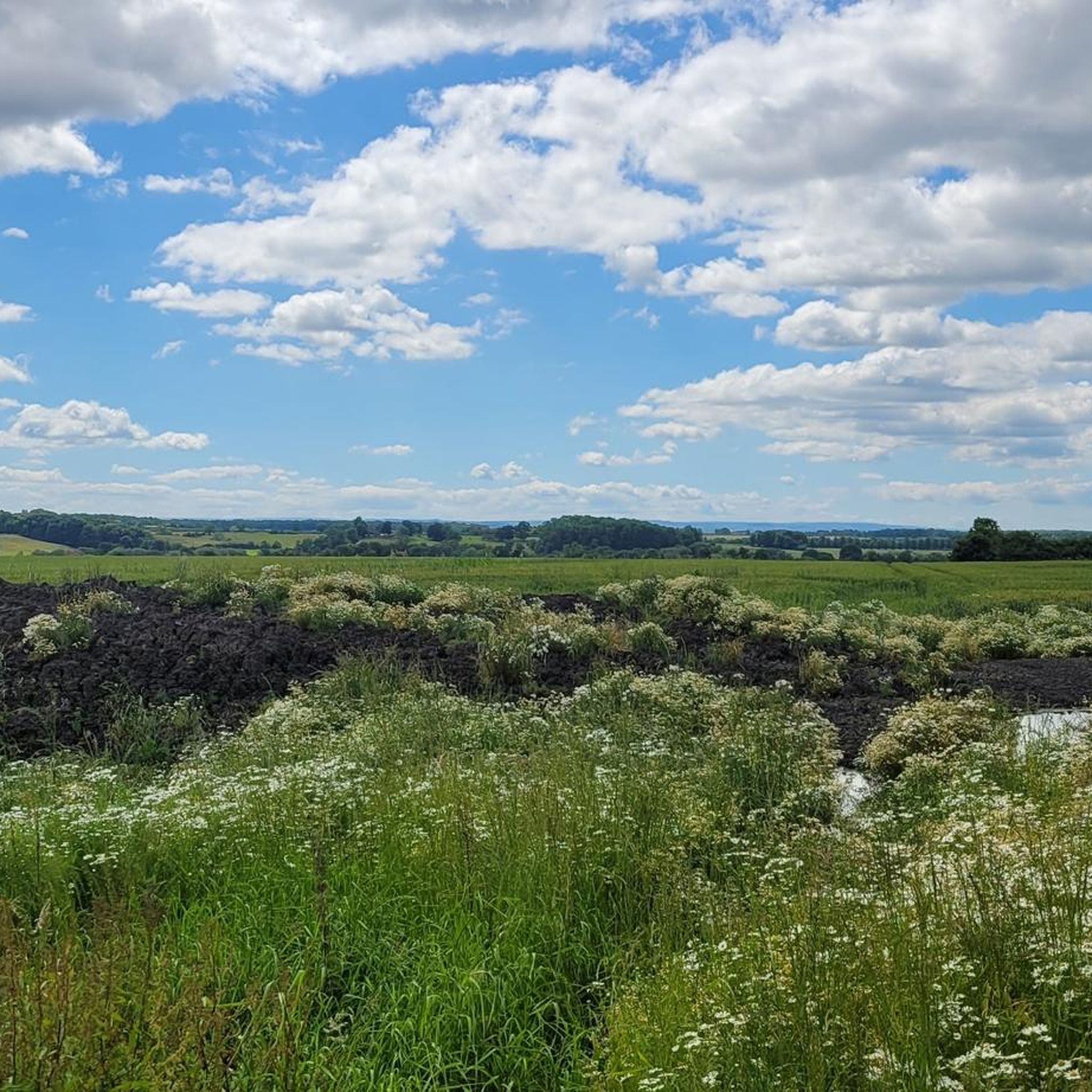
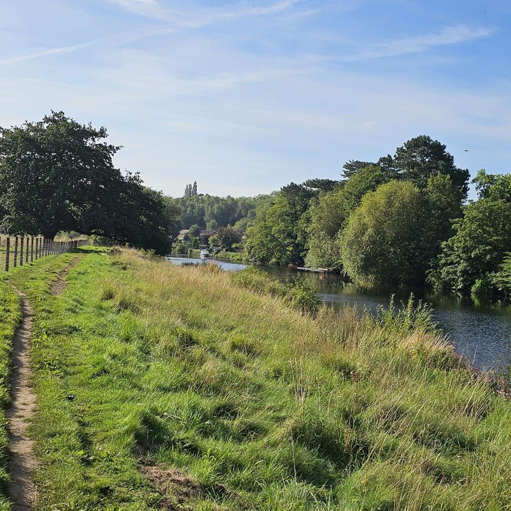
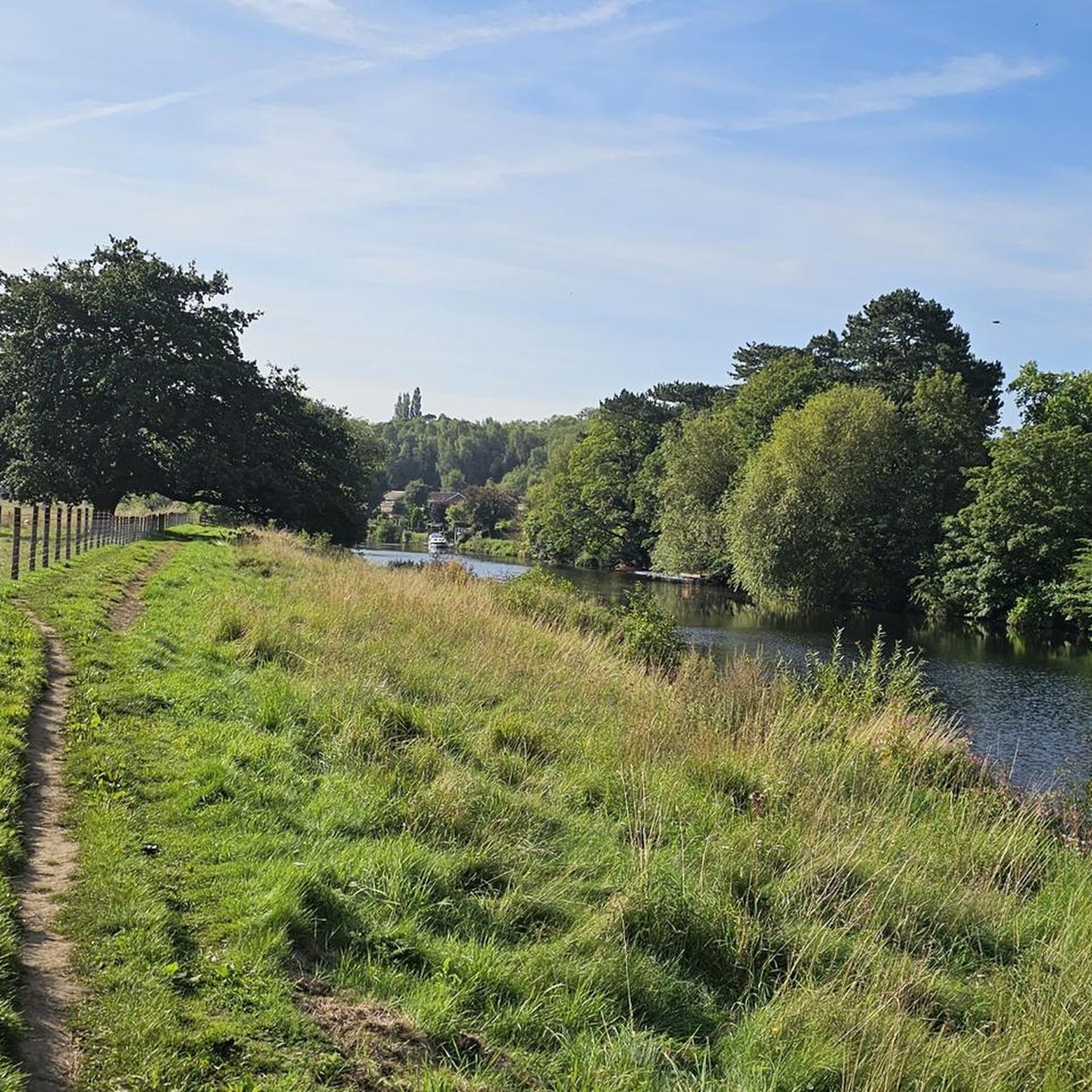
Hiking around Low Worsall features a landscape characterized by the River Tees and its surrounding floodplains, offering generally flat to gently undulating terrain. The area includes riverside paths, open fields, and small village settings, with minimal elevation changes. Trails often connect local landmarks and provide views of the river and nearby settlements like Yarm and Crathorne.
Best hiking trails around Low Worsall
- The most popular hiking route is View of Yarm School – Yarm Bridge loop from Egglescliffe, a…
Last updated: October 11, 2026
15
hikers
5.49km
01:24
20m
20m
Easy hike. Great for any fitness level. Easily-accessible paths. Suitable for all skill levels.
3.0
(1)
21
hikers
15.8km
04:07
100m
100m
Moderate hike. Good fitness required. Easily-accessible paths. Suitable for all skill levels.

5.0
(1)
18
hikers
7.34km
01:54
40m
40m
Easy hike. Great for any fitness level. Easily-accessible paths. Suitable for all skill levels.
17
hikers
12.5km
03:15
80m
80m
Moderate hike. Good fitness required. Easily-accessible paths. Suitable for all skill levels.
14
hikers
5.14km
01:20
30m
30m
Easy hike. Great for any fitness level. Easily-accessible paths. Suitable for all skill levels.
Get access to more routes and recommendations from other explorers.
Already have an account?
Our route recommendations are based on thousands of hikes, rides, and runs completed by other people on komoot.
Start today with a free account
Your next adventure awaits.
Tips from the Community

Yarm Bridge is a Grade II-listed structure that crosses the River Tees. The bridge was built in the early 15th century. From the bridge, you can see another Grade II-listed structure, the vast Yarm Viaduct, which opened in 1852 as part of the extension of the Leeds Northern Railway to Stockton-on-Tees. The market town of Yarm is worth visiting. With a good choice of shops, places for food and drink, as well as accommodation and other attractions, it is an excellent choice for a pit-stop or an overnight stay.
1
1

There is also a cafe as well 😊
0
0

Short 0.3 Mile Climb from The Spital of Yarm High Street up Worsall Road with an average gradient of 3% peaking at around 8%.
0
0

Opened 1852 taking 4 years to build. With 43 arches it towers over the town of Yarm. 2280 feet long with 7.5 million bricks. Designed by Thomas Grainger and John Bourne.
1
1

viewpoints near Preston Park on a cycle path heading towards the River Tees you can see Roseberry topping in the distance and the Cleveland Hills
2
0
Frequently Asked Questions
How many hiking trails are available around Low Worsall?
There are over 150 hiking routes in the Low Worsall area, offering a wide range of options for different preferences and abilities. The komoot community has explored more than 2,300 of these routes.
Are there easy hikes suitable for beginners in Low Worsall?
Yes, Low Worsall is well-suited for beginners and those looking for easy strolls. The terrain is generally flat to gently undulating, with many riverside paths and open fields. There are over 90 easy routes available, such as the Yarm Bridge – Yarm Bridge loop from Yarm, which is 3.1 miles (5.0 km) long.
Can I find family-friendly walks in the area?
Absolutely. Many of the easy routes around Low Worsall are ideal for families, featuring minimal elevation changes and scenic riverside views. The View of Yarm School – Yarm Bridge loop from Egglescliffe is a popular 3.4-mile (5.5 km) option that offers pleasant scenery for all ages.
Are dogs allowed on the hiking trails around Low Worsall?
Most trails in the Low Worsall area are dog-friendly, especially those along the River Tees and through open countryside. However, it's always recommended to keep dogs on a lead, particularly when passing through farmland or nature reserves, and to check local signage for any specific restrictions.
What kind of natural features or landmarks can I see while hiking?
The area is characterized by the River Tees and its floodplains. You can encounter features like the historic Yarm Bridge and a small waterfall on the River Leven, which is part of the Small Waterfall on the River – All Saints' Church, Crathorne loop from Crathorne route. Other notable points of interest include Over Dinsdale Bridge and Clain Wood.
Are there any circular walking routes in Low Worsall?
Yes, many of the routes in Low Worsall are circular, allowing you to start and end at the same point. Examples include the View of Yarm School – Yarm Bridge loop from Egglescliffe and the All Saints' Church, Crathorne loop from Crathorne, which is an easy 4.2-mile (6.8 km) walk.
What is the best time of year to go hiking in Low Worsall?
Low Worsall offers pleasant hiking experiences throughout the year. Spring and summer provide lush greenery and warmer weather, ideal for riverside walks. Autumn brings beautiful foliage, while winter can offer crisp, quiet walks, though some paths might be muddy after rain due to the floodplain nature of the area.
Are there any challenging hikes in Low Worsall?
While the terrain around Low Worsall is generally gentle, there are a few longer routes that offer more of a challenge, primarily due to distance rather than significant elevation gain. There are 5 routes classified as difficult, and 58 moderate routes, such as the 9.8-mile (15.8 km) River Tees at Preston Park – Yarm Bridge loop from Yarm.
Is public transport available to reach trailheads in Low Worsall?
Low Worsall is a small village, and public transport options directly to trailheads might be limited. It's advisable to check local bus services connecting to nearby towns like Yarm or Crathorne, from where many popular routes begin. Planning your route in advance with public transport information is recommended.
Where can I park for hikes near Low Worsall?
Parking is generally available in nearby villages such as Yarm, Egglescliffe, and Crathorne, which serve as common starting points for many trails. Look for designated car parks or on-street parking where permitted. Always be mindful of local residents and ensure you are not blocking access.
What do other hikers enjoy most about hiking in Low Worsall?
The area is highly rated by the komoot community, with an average score of 4.4 stars from over 180 reviews. Reviewers often praise the peaceful riverside paths, the charming village settings, and the accessibility of the trails for various fitness levels.
Are there opportunities for wildlife spotting on the trails?
Yes, the riverside environment of the River Tees and surrounding fields provides opportunities for wildlife spotting. Hikers may encounter various bird species, especially waterfowl, and other small mammals typical of British countryside. Early mornings or late evenings are often the best times for sightings.
Most popular attractions around Low Worsall

Get inspired with the komoot mobile app


Explore more
Browse the best Hikes in other regions.
