The best MTB trails around Linton-On-Ouse
5.0
(2)
22
riders
7
rides
Mountain biking around Linton-On-Ouse offers routes through the flat, open landscapes of North Yorkshire, characterized by river paths and agricultural fields. The terrain generally features low elevation changes, making it suitable for accessible rides. Many routes follow quiet country lanes and bridleways, providing a mix of surfaces. This area is defined by its proximity to the River Ouse and its surrounding rural environment.
Best mountain bike trails around Linton-On-Ouse
- The most popular mountain bike trail is Helperby Village – Easingwold…
Last updated: October 11, 2026
8
riders
Easy mountain bike ride. Great for any fitness level. Suitable for all skill levels.
1
riders
20.5km
01:08
50m
50m
Easy mountain bike ride. Great for any fitness level. Suitable for all skill levels.

5.0
(1)
4
riders
25.6km
01:17
60m
60m
Easy mountain bike ride. Great for any fitness level. Suitable for all skill levels.
1
riders
24.3km
01:23
60m
60m
Moderate mountain bike ride. Great for any fitness level. Advanced riding skills necessary.
3
riders
43.5km
02:27
110m
110m
Moderate mountain bike ride. Good fitness required. Suitable for all skill levels.
Get access to more routes and recommendations from other explorers.
Already have an account?
Our route recommendations are based on thousands of hikes, rides, and runs completed by other people on komoot.
Start today with a free account
Your next adventure awaits.
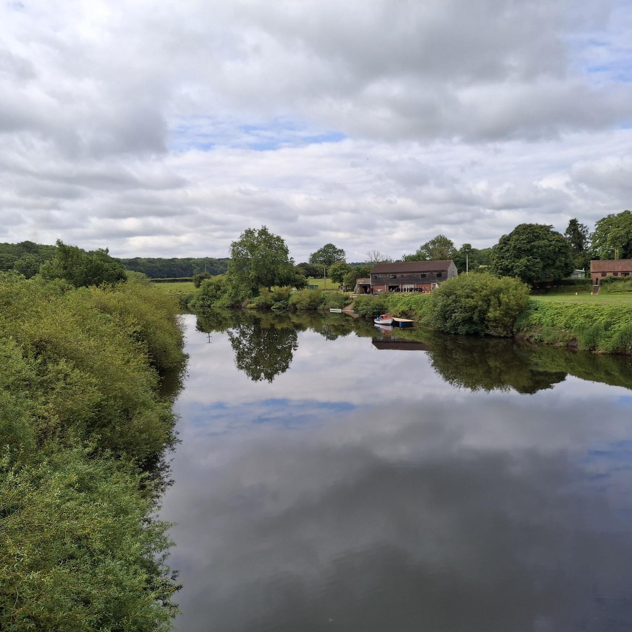
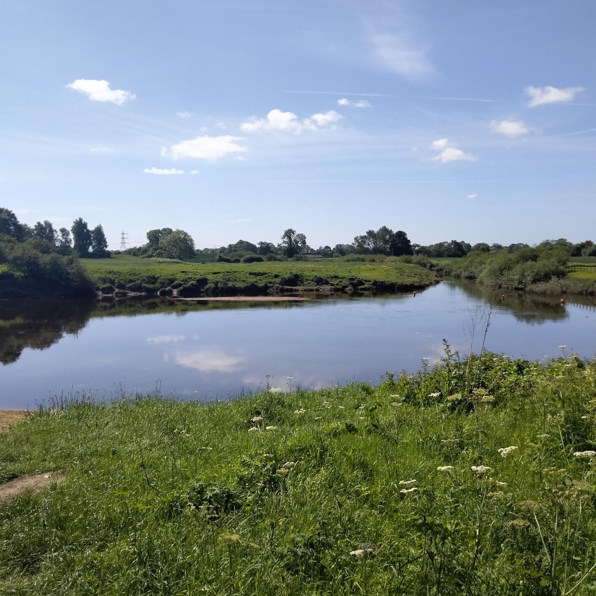
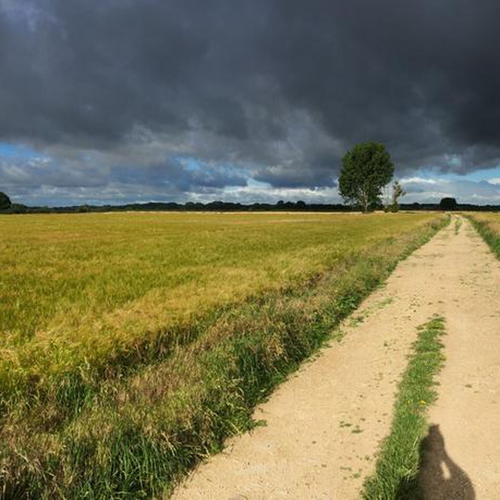
Tips from the Community


A bridge at Myton has existed since the early 12th century, though the medieval versions repeatedly collapsed or were destroyed. By 1354, the medieval bridge had collapsed again, and for centuries the crossing was unreliable. The current iron bridge was commissioned by Henry Miles Stapylton of Myton Hall and completed in 1868. This was also the site of the Battle of Myton (1319), sometimes called “The White Battle,” a disastrous defeat for an English militia force led largely by clergy, overwhelmed by experienced Scottish raiders on 20 September 1319. It was fought in the meadows beside the River Swale at Myton‑on‑Swale, and its outcome forced Edward II to abandon his siege of Berwick.
0
0


There are good cycleways around the outskirts of York, located quite close to the River Ouse. They are flat and it is easy to pick speed up, be careful as there are many people walking and taking their dogs out along these routes
0
0
This is a surprise, riding along the river Ouse edge, which is a popular walk way, there is a boat that sells ice cream. First time I have ever seen a boat selling it.
0
0
You get a true sense of scale when you turn onto Museum Street with the view of the cathedral in front of you, it dwarfs the surrounding buildings. York is a busy city centre with packed streets
0
0
Built in 2001 for over £4m, the York Millennium Bridge is a pedestrian and cycle bridge over the River Ouse in York, England. It connects New Walk to Terry Avenue, south of the city centre, and is part of a popular circular walking route. The bridge was designed to shorten the walking and cycling routes for people in the South Bank area of the city to the University of York and the city centre. If you are a pedestrian, then keep your wits about you. Cyclists will not give you any room and will not slow down either.
1
0
Don't visit in winter. Very good chance it will be under water, or sludge after the River Ouse floodwaters have receded. Bearing that in mind, YCC and the keepers do a pretty good job of maintaining the park. The park was created in memory of employees of Rowntree's who died in the First World War, and was opened on 16 July 1921 by local entrepreneur and philanthropist Joseph Rowntree. Upon their purchase in 1919, the 17 acres of land cost £1,500. The park now covers an area of 25 acres, with it being extended in 1926/7 with the purchase of Clementhorpe allotments, and further in 2000 with the purchase of Butcher Terrace football fields. The gates at the riverbank entrance are eighteenth-century and were given by the company as a memorial to the people of York who died in the Second World War. There are further commemorative plaques on the dovecote. https://en.wikipedia.org/wiki/Rowntree_Park
1
1
Frequently Asked Questions
How many mountain bike trails are available around Linton-On-Ouse?
There are 8 mountain bike trails available in the Linton-On-Ouse area, offering a mix of easy and moderate routes through the flat, open landscapes of North Yorkshire.
Are there easy mountain bike trails suitable for beginners or families in Linton-On-Ouse?
Yes, Linton-On-Ouse offers 4 easy mountain bike trails, perfect for beginners or family outings. One popular option is the Field of Orange Poppies loop from Great Ouseburn, which is 25.1 km long and leads through open fields and rural lanes. Another accessible route is the Aldwark Bridge – River Ure loop from Linton-on-Ouse, covering 20.5 km with minimal elevation changes.
What kind of terrain can I expect on mountain bike trails near Linton-On-Ouse?
The terrain around Linton-On-Ouse is generally flat, characterized by river paths, agricultural fields, and quiet country lanes. You'll find a mix of surfaces, including bridleways, with low elevation changes, making it suitable for accessible rides rather than technical challenges.
Are there any circular mountain bike routes in the area?
Yes, many of the mountain bike routes around Linton-On-Ouse are circular. For example, the View of Wetherby Racecourse – Wetherby Railway Path loop from Tockwith is a moderate 34.1 km circular route offering varied terrain. Another option is the easy Helperby Village – Easingwold Cafes loop from Humberton, which is 35.9 km.
What are some longer mountain bike routes available?
For longer rides, consider the Helperby Village – Easingwold Cafes loop from Humberton, an easy 35.9 km trail. Another good option is the moderate View of Wetherby Racecourse – Wetherby Railway Path loop from Tockwith, which spans 34.1 km and includes sections along a former railway path.
What attractions or landmarks can I see while mountain biking around Linton-On-Ouse?
While mountain biking, you can encounter several points of interest. The Aldwark Bridge – River Ure loop from Linton-on-Ouse passes by the historic Aldwark Bridge. Other nearby attractions include Beningbrough Hall, the ancient The Devil's Arrows, and the Marston Moor Battle Monument.
Are there any moderate or more challenging mountain bike routes?
Yes, there are 4 moderate mountain bike routes available. The View of Wetherby Racecourse – Wetherby Railway Path loop from Tockwith is a popular moderate 34.1 km route with varied terrain. Another moderate option is the River Ure – Aldwark Bridge loop from Flawith, covering 24.3 km.
What do other mountain bikers say about the trails in Linton-On-Ouse?
The mountain bike trails around Linton-On-Ouse are highly rated by the komoot community, with an average score of 4.9 stars from over 9 reviews. Riders often praise the quiet country lanes, scenic river paths, and the accessibility of the routes for various skill levels.
Is Linton-On-Ouse suitable for mountain biking year-round, or is there a best time to visit?
Given the flat terrain and mix of surfaces including bridleways and country lanes, mountain biking in Linton-On-Ouse is generally enjoyable for much of the year. However, like any rural area, trails may be muddier after heavy rain, especially in winter. Spring and autumn often offer pleasant conditions with milder weather and beautiful scenery.
Are there any mountain bike routes that include a pub stop?
While specific pub stops are not detailed in every route description, many trails in the Linton-On-Ouse area pass through or near villages. For example, the Helperby Village – Easingwold Cafes loop from Humberton passes through Helperby Village, which is known for its local amenities, making it a good candidate for finding a refreshment stop.
What are the typical trail conditions like around Linton-On-Ouse?
Trail conditions typically involve a mix of quiet country lanes, bridleways, and paths through agricultural fields. The terrain is generally flat with low elevation changes. While many paths are well-maintained, some sections, especially bridleways, can become muddy after wet weather, so appropriate tires are recommended.
Where can I find parking for mountain biking in Linton-On-Ouse?
Parking availability can vary by specific trailhead. Many routes start from villages or accessible points where public parking might be available. For instance, routes like the Aldwark Bridge – River Ure loop from Linton-on-Ouse often have starting points in or near Linton-on-Ouse itself, where local parking options can be explored.
Most popular attractions around Linton-On-Ouse

Get inspired with the komoot mobile app


Explore more
Browse the best MTB trails in other regions.
