The best walks and hikes around Stonton Wyville
4.4
(324)
2,546
hikers
248
hikes
Hikes around Stonton Wyville explore the rolling ridges and historic villages of the Leicestershire countryside. The region is characterized by broad, undulating hills, well-maintained field paths, and traditional hedgerows. The network of footpaths often traverses agricultural fields and passes by historical features like the earthworks of medieval settlements.
Best hiking trails around Stonton Wyville
- The most popular hiking route is Mint and Ginger Café loop from Tur Langton, a 7.8 mile (12.6 km) trail that takes around 3 hours 20 minutes to complete. This moderate route follows paths through the surrounding agricultural landscape.
- Another top favourite among local hiking enthusiasts is Hallaton Castle Hill Camp – Keythorpe Trig Point loop from Goadby, a moderate 6.9 mile (11.2 km) path. The trail includes ascents to viewpoints and passes the earthworks of Hallaton Castle.
- Local hiking enthusiasts also love the Woolpits Planting – Noseley Wood loop from Glooston, a 8.7 mile (14.1 km) trail leading through a mix of woodland and open fields, often completed in about 3 hours 45 minutes.
- Hiking around Stonton Wyville is defined by its rolling hills, expansive green pastures, and paths that connect historic villages. The network of trails offers options for different ability levels, from shorter village loops to longer countryside hikes.
- The routes in Stonton Wyville are highly rated by the komoot community with an average score of 4.5 stars from more than 250 reviews. More than 2,300 hikers have used komoot to explore Stonton Wyville's varied terrain.
Last updated: July 10, 2026
4.3
(4)
24
hikers
12.6km
03:23
160m
160m
Moderate hike. Good fitness required. Easily-accessible paths. Suitable for all skill levels.
5.0
(3)
23
hikers
11.3km
03:03
150m
150m
Moderate hike. Good fitness required. Easily-accessible paths. Suitable for all skill levels.

Sign up for free
5.0
(1)
21
hikers
8.22km
02:15
120m
130m
Moderate hike. Good fitness required. Easily-accessible paths. Suitable for all skill levels.
5
hikers
14.1km
03:47
180m
180m
Moderate hike. Good fitness required. Easily-accessible paths. Suitable for all skill levels.
5.0
(2)
7
hikers
11.7km
03:10
160m
160m
Moderate hike. Good fitness required. Easily-accessible paths. Suitable for all skill levels.
Get access to more routes and recommendations from other explorers.
Sign up for free
Already have an account?
Our route recommendations are based on thousands of hikes, rides, and runs completed by other people on komoot.
Start today with a free account
Your next adventure awaits.
Login or Signup

Tips from the Community


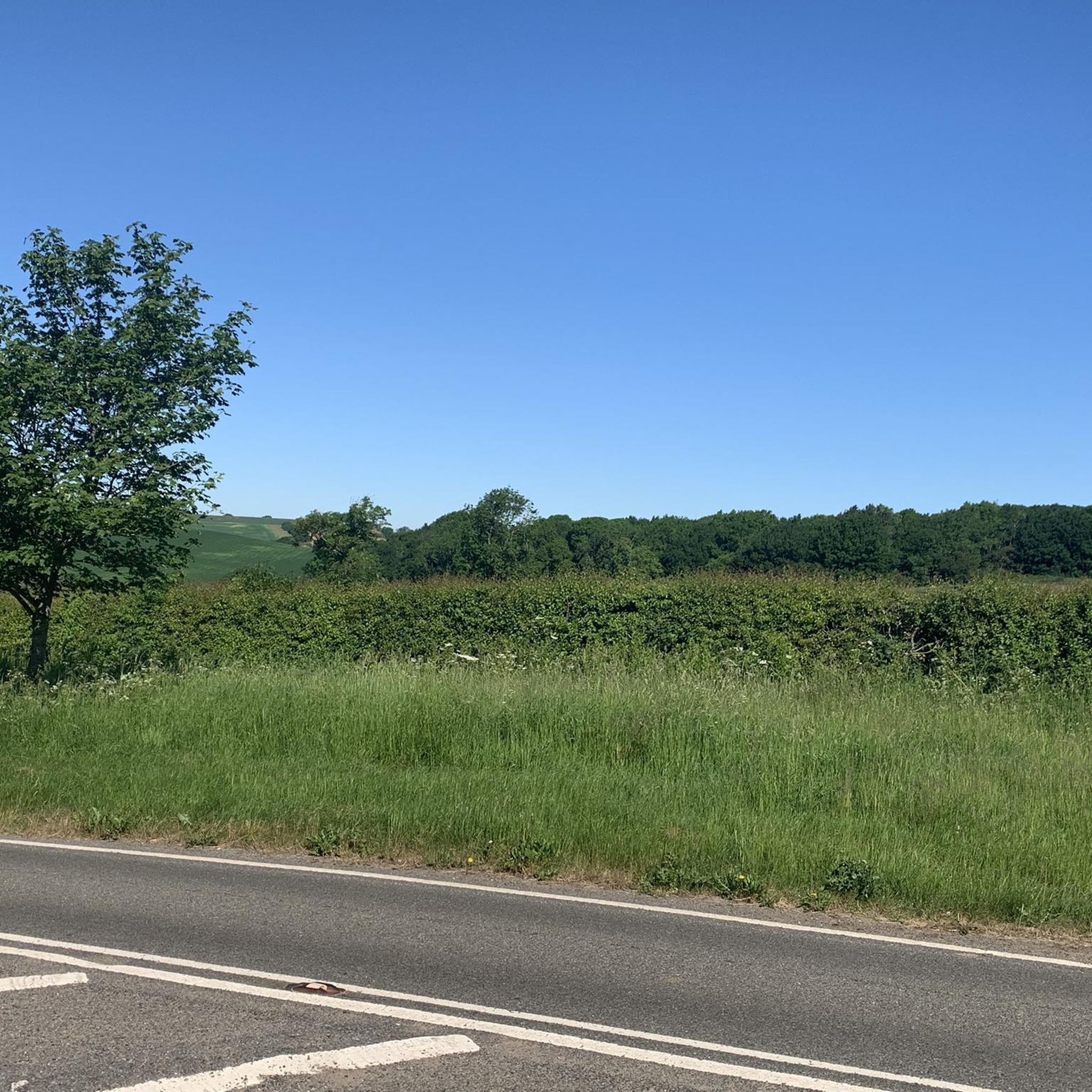
A real mix of surfaces. From the south starts as a steep and bumpy field crossing into another, both fine if its dry and not been ploughed. Further north it's through a short wood then a gravel track and finally a grassy track where cows can chew it up in the wet. Not one for winter.
0
0
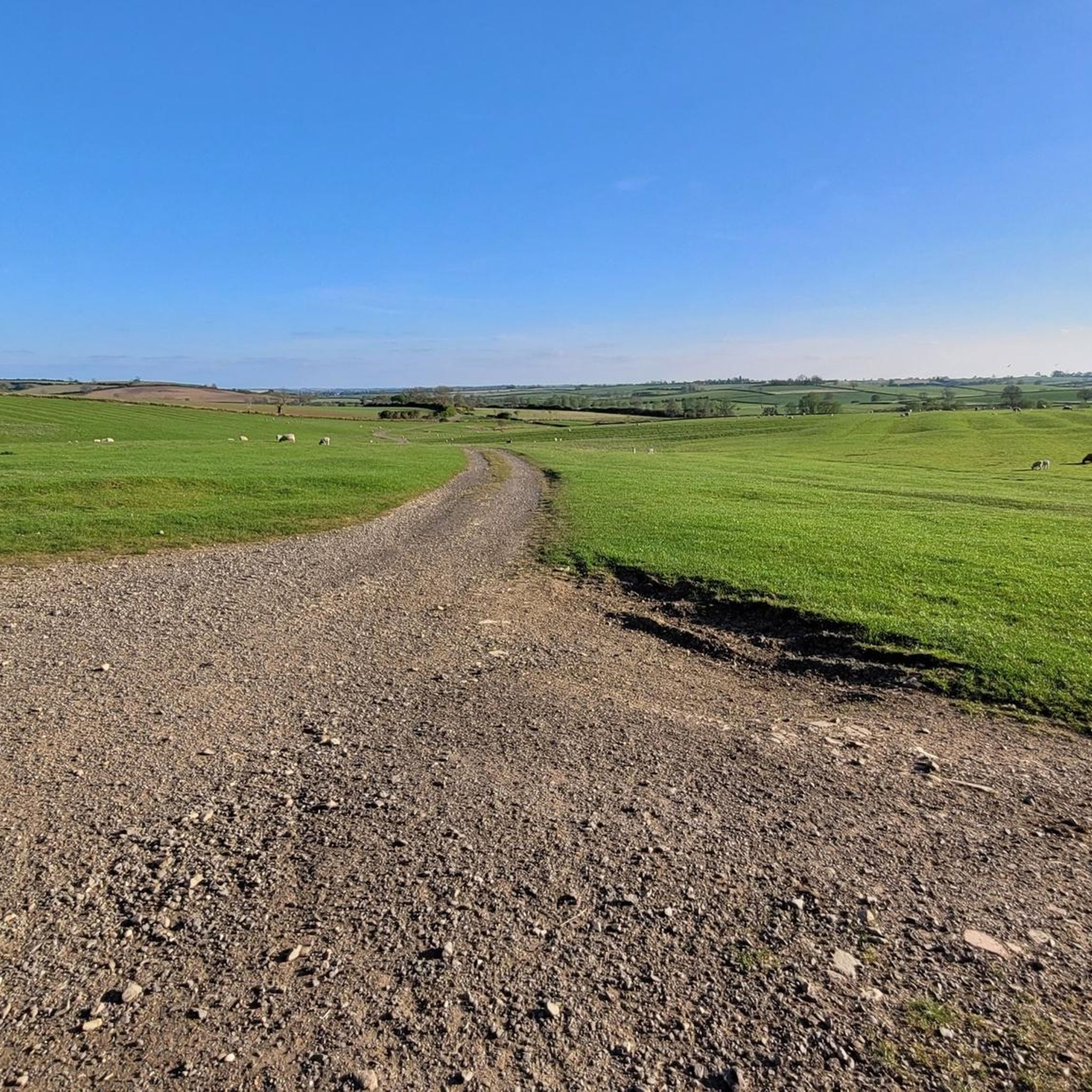
From the south starts as a gravel and brick trail but turns into grass bridleway
0
0
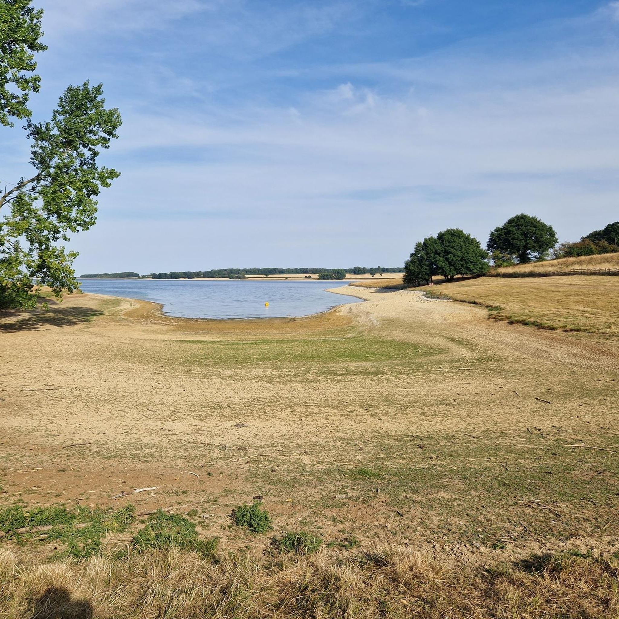
Goadby is just straight up, Horse Hill has a twisting steep descent then an equally steep climb. Do north to south for maximum climbing. This is the view from the top.
0
0

A fine cafe stop with plenty of outside space for bikes and a good terrace. Good food too, from full breakfast to pastries and cakes.
0
0

Lovely ride all year round - puddles get bigger in winter, but no problem to ride!
0
0
Really quiet and easy to link up some quiet tarmac or trails
0
0
Frequently Asked Questions
Are there many circular walks starting near Stonton Wyville?
Yes, the area is excellent for circular hikes. Many trails are designed as loops that start and end in the same village, allowing you to explore the countryside and return to your starting point without retracing your steps. A good example is the Hallaton Castle Hill Camp loop from Cranoe, which takes you through historic landscapes.
What are the trails like for dog walking?
The countryside around Stonton Wyville offers many opportunities for dog walking, with numerous footpaths through fields and along quiet lanes. However, as the area is agricultural, you will likely encounter livestock, so it's essential to keep your dog on a lead. For off-lead options, the nearby Sence Valley Forest Park is a popular, dog-friendly spot with dedicated trails.
Are there any family-friendly hikes in the area?
Certainly. While many routes are moderate, there are over 100 easy-rated trails to choose from. These shorter, gentler walks are perfect for families. They often stick to flatter field paths and explore the immediate surroundings of the charming local villages, making for a pleasant and manageable day out.
Where is the best place to park for a hike?
Most hikes begin in one of the local villages like Stonton Wyville, Glooston, or Tur Langton. The most common approach is to find considerate on-street parking within these villages. As it can get busy, especially on weekends, it's always a good idea to arrive early to secure a spot.
Can I get to the trailheads using public transport?
Reaching Stonton Wyville and the surrounding villages by public transport can be challenging as the area is quite rural. Bus services are limited. Most visitors find it more convenient to travel by car to access the various trailheads in the region.
What kind of wildlife might I see on a walk?
The region's mix of farmland, hedgerows, and small woodlands supports a variety of wildlife. Keep an eye out for birds like skylarks, yellowhammers, and swooping swallows. It's also not uncommon to spot hares dashing across the fields, especially during quieter times of the day.
Are there any historical sites to see on the walks?
Yes, the area is rich in history. Many trails pass by significant historical features. You can explore the impressive Norman earthworks at Hallaton Castle or see the remnants of a shrunken medieval village in Stonton Wyville itself. The Hallaton Castle Hill Camp – Keythorpe Trig Point loop from Goadby is a great route for history enthusiasts.
What are the trail conditions generally like?
The paths are typically well-maintained, crossing grassy fields and farm tracks. After rain, these natural surface trails can become very muddy and slippery, especially in fields used by livestock. It's always wise to wear waterproof hiking boots with good grip.
Are there any pubs or cafes along the hiking routes?
Many of the walks pass through or start from traditional Leicestershire villages like Tur Langton and Hallaton, which often have a local pub where you can stop for refreshments. The Mint and Ginger Café loop from Tur Langton is a popular choice that conveniently starts and ends near a café.
What do other hikers say about the trails around Stonton Wyville?
The area is highly regarded by the komoot community. Hikers often praise the beautiful rolling scenery, the sense of peace and quiet, and the well-preserved historic villages. The panoramic views from hilltops like Langton Caudle are a frequently mentioned highlight.
How many hiking trails are available around Stonton Wyville?
There is a wide variety of options to explore, with over 250 hiking routes around Stonton Wyville. These range from short, easy strolls around the villages to more challenging long-distance treks through the High Leicestershire countryside, ensuring there's a trail for every ability level.
Are there any good viewpoints on the hikes?
Absolutely. The region's rolling hills provide excellent vantage points. A highlight for many is the ascent of Langton Caudle hill, which features a trig point at its summit. From here, you are rewarded with stunning panoramic views across the patchwork of fields and pastures.
Most popular attractions around Stonton Wyville

Get inspired with the komoot mobile app


Explore more
Browse the best Hikes in other regions.
