The best road cycling routes around Lowesby
4.9
(21)
1,716
riders
64
rides
Road cycling routes around Lowesby traverse a relatively hilly region of Leicestershire, offering varied terrain for different abilities. Located approximately 500 feet above sea level, the area features a rural setting with elevation gains up to 3,000 feet on some routes. The landscape is characterized by a mix of farming land and well-paved surfaces, providing diverse cycling experiences.
Best road cycling routes around Lowesby
- The most popular road cycling route is Sludge Hall Hill – Sandy Lane loop from Twyford…
Last updated: August 18, 2026
41
riders
46.8km
02:15
540m
540m
Moderate road ride. Good fitness required. Some segments of this route may be unpaved and difficult to ride.
13
riders
30.2km
01:25
300m
300m
Moderate road ride. Good fitness required. Mostly well-paved surfaces and easy to ride.

Sign up for free
5
riders
51.6km
02:52
710m
710m
Moderate road ride. Good fitness required. Mostly well-paved surfaces and easy to ride.
6
riders
53.7km
02:33
530m
530m
Moderate road ride. Good fitness required. Mostly well-paved surfaces and easy to ride.
5.0
(3)
9
riders
27.0km
01:25
250m
250m
Easy road ride. Great for any fitness level. Mostly well-paved surfaces and easy to ride.
Get access to more routes and recommendations from other explorers.
Sign up for free
Already have an account?
Our route recommendations are based on thousands of hikes, rides, and runs completed by other people on komoot.
Start today with a free account
Your next adventure awaits.
Login or Signup


Tips from the Community

All Saints Church in Rotherby, Leicestershire, is a charming 13th-century church situated in a village named from Danish roots meaning "village of the cross". It likely sits on a much older, pre-Norman site. The church today is a notable site for "Champing" (church camping), offering unique overnight stays.
0
0

Some lovely bikes for purchasing. knowledgeable staff. Well stocked assortment of accessories.
0
0


Cracking for an after ride beer or grub! Great pub
0
0

I love this climb. Like everyone says it is nice and steady and a good length. Watch out for the Get Busy Living Centre promoted by Matt Hampson and also the Airborne Memorial on the left. If you want a harder climb to Burrough try the nearby ascent from the Dalbys.
0
0
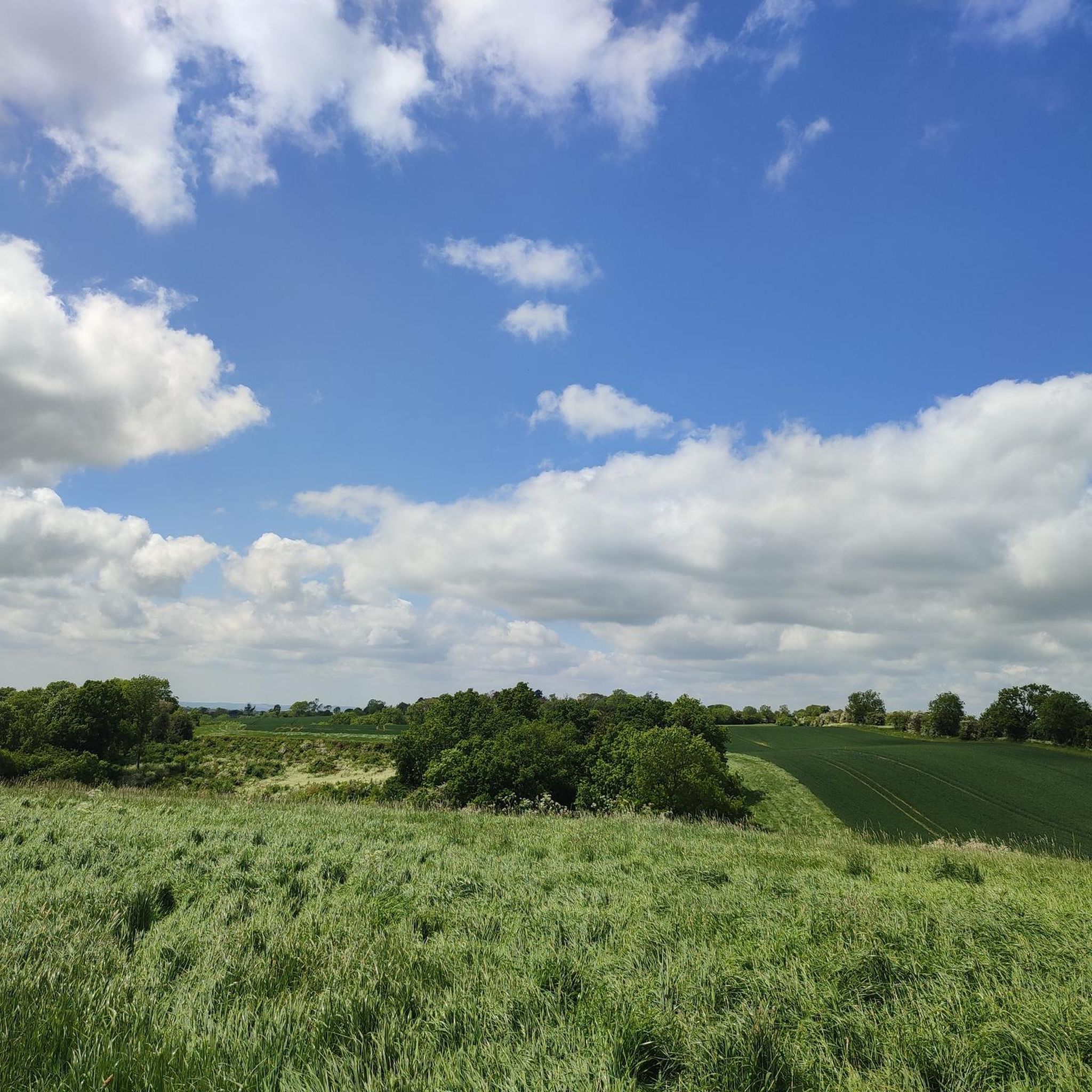
There is a reasonable view from the very quiet lane running from Owston through Maresfield to Twyford. Freight trains were using the viaduct until 1964 and the track was lifted soon after that.
0
0


Community owned pub. large garden with space for bikes. Tea and coffee some cakes , pork pies and lunch menu. breakfast Friday and Saturday 0900 to 1200. Toilets excellent and very clean. Staff very welcoming so a great place to stop. Plus supporting community pubs is worthwhile in itself.
0
0
Frequently Asked Questions
What is the general terrain like for road cycling in Lowesby?
Lowesby is situated in a relatively hilly region of Leicestershire, approximately 500 feet above sea level. This means you can expect varied terrain, from rolling hills to more significant climbs. The landscape is predominantly rural with a mix of farming land, and most routes feature well-paved surfaces, though some segments might be unpaved.
Are there road cycling routes suitable for different fitness levels?
Yes, Lowesby offers a diverse network of road cycling routes catering to various abilities. You'll find options ranging from easy, more leisurely rides to challenging routes with significant elevation gains. For instance, there are 14 easy routes and 51 moderate routes available, ensuring something for every cyclist.
What kind of climbs can I expect on Lowesby's road cycling routes?
The region features notable climbs that add a challenge to your ride. For example, the Sludge Hall Hill – Sandy Lane loop from Twyford and Thorpe includes a climb with an average gradient of around 7%. Some routes can have elevation gains up to 3,000 feet, requiring good to very good fitness.
Are there circular road cycling routes available in Lowesby?
Many of the road cycling routes around Lowesby are designed as loops, allowing you to start and finish in the same location. Examples include the Owston Lane – John O' Gaunt Viaduct loop from Gaddesby and the Owston Lane – King's Hill Climb loop from Twyford and Thorpe, offering convenient circular journeys.
What landmarks or points of interest can I see while cycling in Lowesby?
While cycling, you can encounter several interesting spots. Burrough Hill Country Park, an Iron Age hill fort, offers diverse wildlife habitats. You might also catch glimpses of Sludge Hall Hill or the Burrough Road Climb, which also serves as a viewpoint. Lowesby Hall, a Grade-II listed Georgian mansion, is another historical landmark visible from public footpaths.
Are there places to stop for refreshments or bike services along the routes?
Yes, the area is well-equipped for cyclists. Racehub Lake features a bike shop and cafe, offering coffee, sports nutrition, and a workshop. Another popular spot is Café Ventoux, a cycling-themed cafe with high-quality coffee, cakes, a boutique bike shop, and amenities like bike storage and a bottle refilling tap.
What are the typical durations for road cycling routes around Lowesby?
Route durations vary significantly based on distance and elevation. Many routes are designed for rides of a few hours, such as the All Saints' Church, Hoby – Rural Road Near Gaddesby loop from Twyford and Thorpe, which takes around 1 hour 25 minutes. More challenging routes can exceed five hours, requiring good to very good fitness.
What do other road cyclists enjoy the most about road cycling in Lowesby?
The road cycling routes in Lowesby are highly rated by the komoot community, with an average score of 4.9 stars from over 10 reviews. Cyclists often praise the varied terrain, the rural setting, and the well-paved surfaces that provide diverse and enjoyable cycling experiences.
Are there any easier road cycling options for beginners or leisure riders?
Absolutely. While the region is hilly, there are routes specifically categorized as easy. For example, the All Saints' Church, Hoby – Rural Road Near Gaddesby loop from Twyford and Thorpe is an easier option with well-paved surfaces, perfect for those looking for a less strenuous ride.
How many road cycling routes are available in the Lowesby area?
There are over 60 road cycling routes available around Lowesby, offering a wide selection for cyclists. This includes 14 easy routes, 51 moderate routes, and 4 difficult routes, ensuring a suitable option for every preference and skill level.
Is there parking available for cyclists near the routes in Lowesby?
While specific parking facilities for every route are not detailed, many starting points for routes, especially those near villages or attractions like Burrough Hill Country Park, typically offer public parking options. It's advisable to check specific starting locations for the most convenient parking.
Most popular routes around Lowesby
Most popular attractions around Lowesby

Get inspired with the komoot mobile app


Explore more
Browse the best Road cycling routes in other regions.
