The best cycling routes around Myerscough And Bilsborrow
4.6
(222)
2,927
riders
332
rides
Touring cycling routes around Myerscough And Bilsborrow traverse a rural landscape characterized by fields, gardens, and hedgerows. The Lancaster Canal, a significant natural feature, offers scenic routes directly through Bilsborrow. The area also provides access to the River Ribble and the Forest of Bowland Area of Outstanding Natural Beauty, featuring varied terrain suitable for cycling. Many routes feature mostly paved surfaces with minimal elevation gain.
Best touring cycling routes around Myerscough And Bilsborrow
- The most popular touring cycling route is…
Last updated: July 5, 2026
4.0
(2)
37
riders
45.7km
02:40
190m
190m
Moderate bike ride. Good fitness required. Mostly paved surfaces. Suitable for all skill levels.
18
riders
Moderate bike ride. Good fitness required. Mostly paved surfaces. Suitable for all skill levels.

Sign up for free
14
riders
49.7km
02:51
210m
210m
Moderate bike ride. Good fitness required. Mostly paved surfaces. Suitable for all skill levels.
16
riders
14.5km
00:51
80m
80m
Easy bike ride. Great for any fitness level. Mostly paved surfaces. Suitable for all skill levels.
11
riders
17.9km
01:03
120m
120m
Easy bike ride. Great for any fitness level. Mostly paved surfaces. Suitable for all skill levels.
Get access to more routes and recommendations from other explorers.
Sign up for free
Already have an account?
Our route recommendations are based on thousands of hikes, rides, and runs completed by other people on komoot.
Start today with a free account
Your next adventure awaits.
Login or Signup
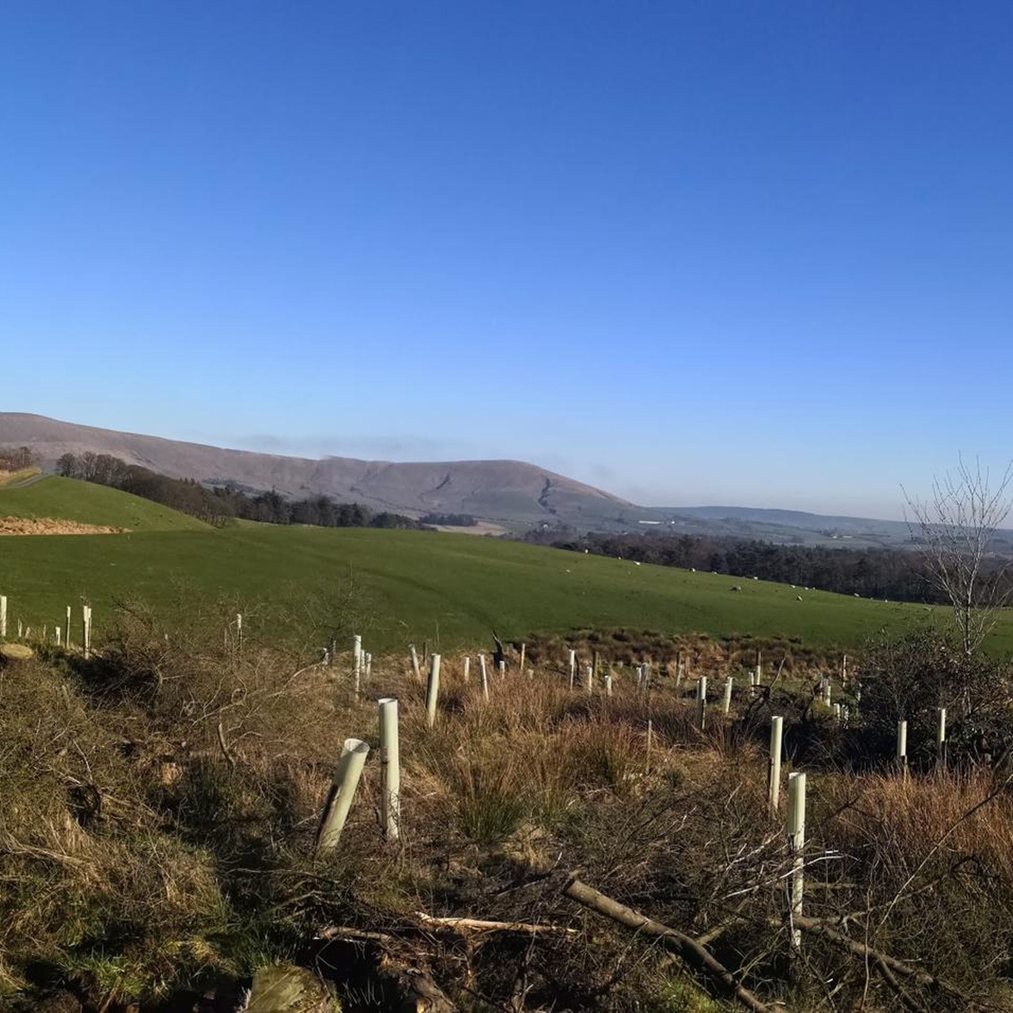
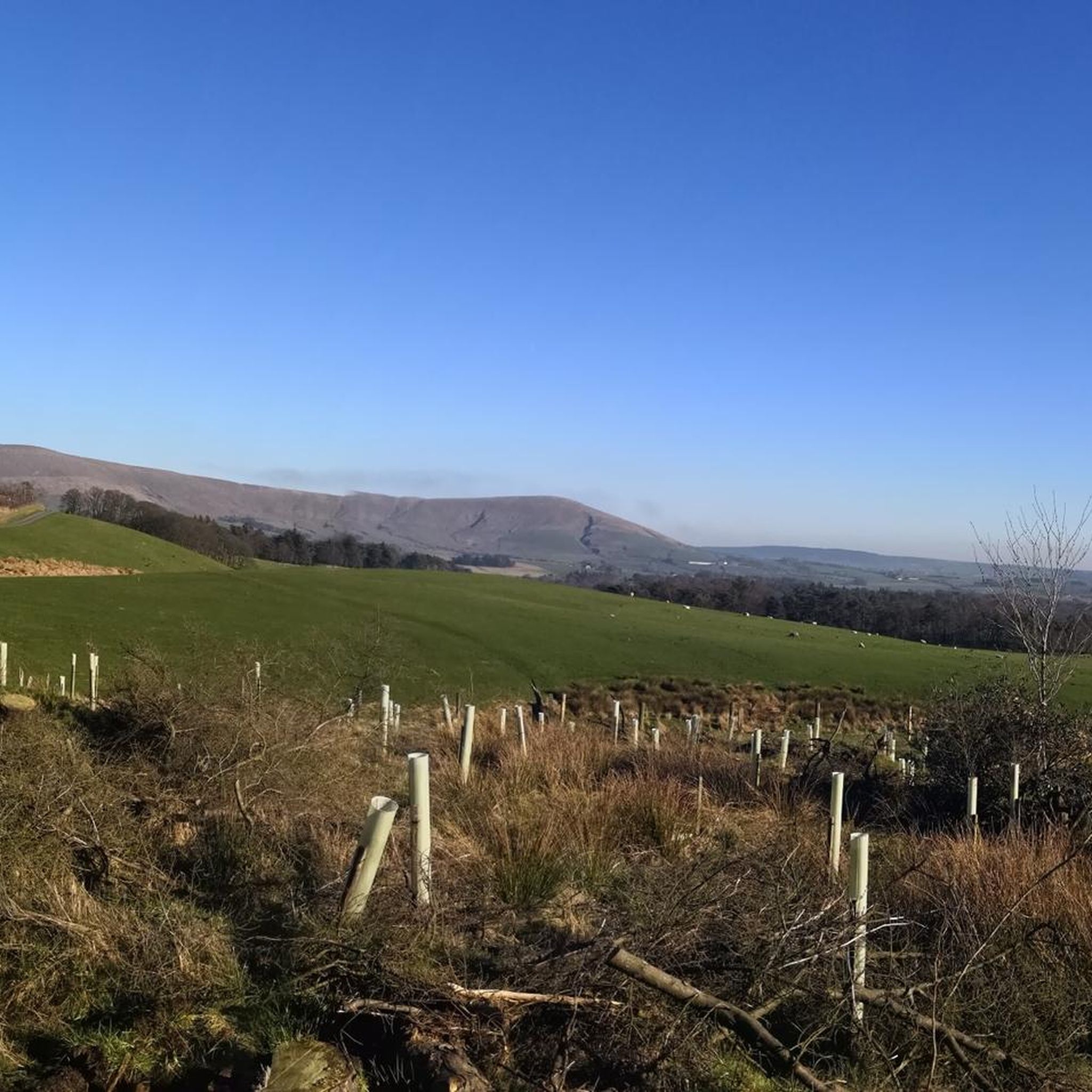


Tips from the Community

The Barn at Scorton is a large, oak-framed café and restaurant set in the heart of Scorton village. It serves a wide range of food and drink, including hearty mains, vegan options, cakes and afternoon teas. With indoor and outdoor seating, a garden centre, gift shop, and dog-friendly areas, it’s a popular stop for walkers and cyclists.
1
0

Great spot for food or coffee after a ride or to set you up well for one!
0
0

The Priory at Scorton - order at the van and your food will come out to you or on occasion pop in the bar to purchase there when the van is empty.
0
0
Good fish n chips in the village centre. Decent pub too!
0
0

Cartford Bridge is a single-track toll bridge in the English county of Lancashire. Built in 1831, it spans the River Wyre, connecting Little Eccleston-with-Larbreck, in the Borough of Fylde, on the southern side of the river, to Out Rawcliffe, in the Borough of Wyre, on its northern side (known locally as "Over Wyre"), carrying both automotive and pedestrian traffic of Cartford Lane. The tolls are £1 for vehicles exceeding five tonnes, 70p for vehicles exceeding two tonnes, 60p for motorised vehicles not exceeding two tonnes, and 20p for two-wheeled vehicles.
1
0

Frequently Asked Questions
How many touring cycling routes are available in Myerscough And Bilsborrow?
There are over 350 touring cycling routes around Myerscough And Bilsborrow, offering a wide variety of options for different skill levels and preferences. These routes are highly rated by the komoot community, with an average score of 4.5 stars.
What kind of terrain can I expect on touring cycling routes around Myerscough And Bilsborrow?
The terrain in Myerscough And Bilsborrow is predominantly rural, characterized by fields, gardens, and hedgerows. Many routes feature mostly paved surfaces with minimal elevation gain, making them generally accessible. You'll find tranquil canal towpaths, quiet country roads, and some routes that venture into the varied landscape of the Forest of Bowland AONB.
Are there any easy or beginner-friendly touring cycling routes?
Yes, Myerscough And Bilsborrow offers many easy touring cycling routes. For example, the Bluebell Way Alternative Route – Peter's Garden loop from Broughton is an easy 10.9-mile path, perfect for a relaxed journey through local scenery. Another accessible option is the Canal View – Boats on the Canal loop from Myerscough and Bilsborrow, which is 17.7 miles with minimal elevation.
Can I find circular touring cycling routes in the area?
Yes, many touring cycling routes in Myerscough And Bilsborrow are designed as loops. Popular circular options include the moderate Cartford Bridge – Lane Ends Nature Reserve loop from Myerscough and Bilsborrow, which is 34.2 miles, and the Duck Pond – The Stork loop from Myerscough College, a 29.9-mile trail through rural fields and quiet roads.
What natural features or viewpoints can I see while cycling?
You'll encounter several natural highlights. The Lancaster Canal runs directly through Bilsborrow, offering scenic towpath routes. You can head north towards Brock to see the 18th-century Brock Aqueduct. The River Ribble is also a prominent feature, with nearby Preston's Avenham and Miller Parks situated along its banks. Further afield, parts of the Forest of Bowland AONB, including Beacon Fell Country Park, offer woodland, moorland, and rolling fields. For specific viewpoints, consider routes that pass near Nicky Nook Summit or Hazelhurst Fell Trig Point.
Are there any interesting landmarks or attractions along the cycling routes?
Yes, the area offers several points of interest. You might cycle past the impressive Ribble Link Staircase Locks and Holding Basin, which connect the Lancaster Canal to the River Ribble. Other attractions include the Cartford Toll Bridge and the Miller Park Fountain in Preston. The Bilsborrow War Memorial and St Hilda's Church are also notable local landmarks.
What do other cyclists say about touring cycling in Myerscough And Bilsborrow?
The area is highly rated by the komoot community, with an average score of 4.5 stars from over 300 reviews. Cyclists often praise the tranquil canal towpaths, the peaceful rural fields, and the accessibility of the country roads. Many appreciate the variety of routes suitable for different ability levels, from easy rides to more moderate excursions.
Is Myerscough And Bilsborrow suitable for family cycling?
Yes, Myerscough And Bilsborrow is well-suited for family cycling, especially due to its many easy routes and generally accessible terrain. The tranquil towpath of the Lancaster Canal provides a largely flat and safe environment, ideal for families seeking a relaxed journey. Many routes have minimal elevation gain and mostly paved surfaces.
Are there options for longer touring cycling routes?
While many routes are moderate, there are options for longer rides. Some routes can take up to five hours to complete and may require good fitness, potentially including unpaved or more challenging segments. For example, the Cartford Bridge – Lane Ends Nature Reserve loop from Myerscough and Bilsborrow is 34.2 miles, offering a substantial ride.
Where can I park my car when going for a touring cycle ride?
While specific parking locations for each route are not detailed here, Myerscough and Bilsborrow, being a rural area, generally offers various parking opportunities near trailheads or village centers. It's advisable to check local signage or use mapping apps to find suitable parking spots close to your chosen starting point.
What is the best time of year to go touring cycling in Myerscough And Bilsborrow?
The spring and summer months generally offer the most pleasant conditions for touring cycling, with milder weather and longer daylight hours. Spring also brings vibrant bluebell displays, particularly in spots like Brock Bottom. However, the area's generally accessible terrain means cycling can be enjoyed year-round, though winter rides may require appropriate gear for colder, potentially wetter conditions.
Are there any cafes or pubs along the touring cycling routes?
Yes, Myerscough and Bilsborrow and its surrounding villages offer local amenities including cafes and pubs. These can be found in the villages themselves or along some of the more established routes, providing convenient stops for refreshments during your ride. It's a good idea to check specific route details or local maps for exact locations.
Is it possible to reach the cycling routes by public transport?
Myerscough and Bilsborrow is a rural area, so public transport options might be limited compared to urban centers. However, local bus services connect the villages to larger towns like Preston, which may offer more extensive public transport links. Cyclists should research specific bus routes and their bicycle carriage policies if planning to use public transport to access the cycling routes.
Are there any specific permits required for cycling in the area?
Generally, no specific permits are required for touring cycling on public roads, canal towpaths, or designated cycle paths in the Myerscough and Bilsborrow area. However, if you plan to cycle through private land or specific nature reserves, it's always best to check for any local regulations or access restrictions. For historical context on local heritage, you can visit the Garstang Heritage Society website.
Most popular routes around Myerscough And Bilsborrow
Most popular attractions around Myerscough And Bilsborrow

Get inspired with the komoot mobile app


Explore more
Browse the best Cycling routes in other regions.
