The best walks and hikes around Great Altcar
4.4
(215)
2,535
hikers
234
hikes
Hiking around Great Altcar offers routes through flat, open landscapes characterized by agricultural fields, nature reserves, and canal paths. The region features minimal elevation changes, making it suitable for accessible trails and easy hikes. Waterways such as canals are prominent, providing linear routes and views of the surrounding low-lying terrain.
Best hiking trails around Great Altcar
- The most popular hiking route is Stone Arch Bridge Over Canal – The Scotch Piper Inn loop from Maghull, a 6.1 miles (9.8…
Last updated: July 6, 2026
20
hikers
Easy hike. Great for any fitness level. Easily-accessible paths. Suitable for all skill levels.
5.0
(1)
8
hikers
8.23km
02:06
30m
30m
Moderate hike. Good fitness required. Easily-accessible paths. Suitable for all skill levels.

Sign up for free
9
hikers
Easy hike. Great for any fitness level. Easily-accessible paths. Suitable for all skill levels.
5
hikers
6.12km
01:34
20m
20m
Easy hike. Great for any fitness level. Easily-accessible paths. Suitable for all skill levels.
7
hikers
6.94km
01:45
10m
10m
Easy hike. Great for any fitness level. Easily-accessible paths. Suitable for all skill levels.
Get access to more routes and recommendations from other explorers.
Sign up for free
Already have an account?
Our route recommendations are based on thousands of hikes, rides, and runs completed by other people on komoot.
Start today with a free account
Your next adventure awaits.
Login or Signup
Tips from the Community


Beltin pub for a bite and pint, just off Cheshire Lines path.
0
0

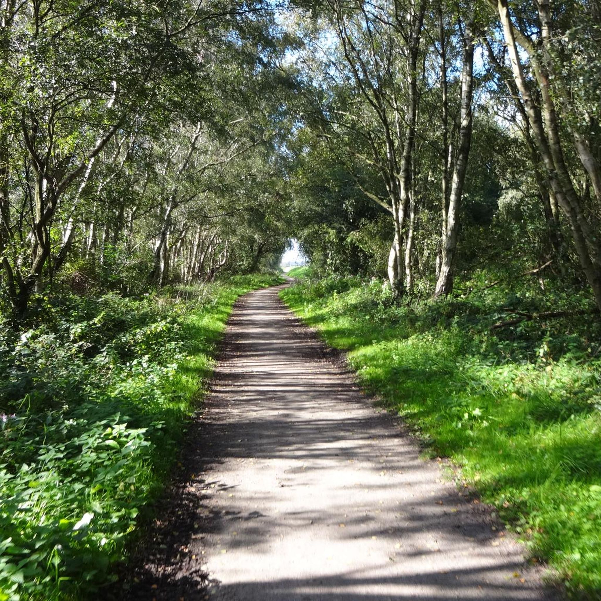
The Trans Pennine Trail is a coast-to-coast route across the entire breadth of England from Southport to Hornsea. It is well signposted and some sections, including this one, are suitable for horse riding. This section follows the route of the historic Cheshire Lines railway, now dismantled. The Cheshire Lines Railway Company used to operate services across the Lancashire Mossland along this route between Liverpool and Southport. After its closure in 1952 and acquisition by West Lancashire District Council in 1988 the line was constructed as a dual use cycle and footpath with parallel bridleway.
0
0
If you go very early, there is a barn owl that you may catch a glimpse of. The last time I visited she was teaching her young how to hunt.
2
0

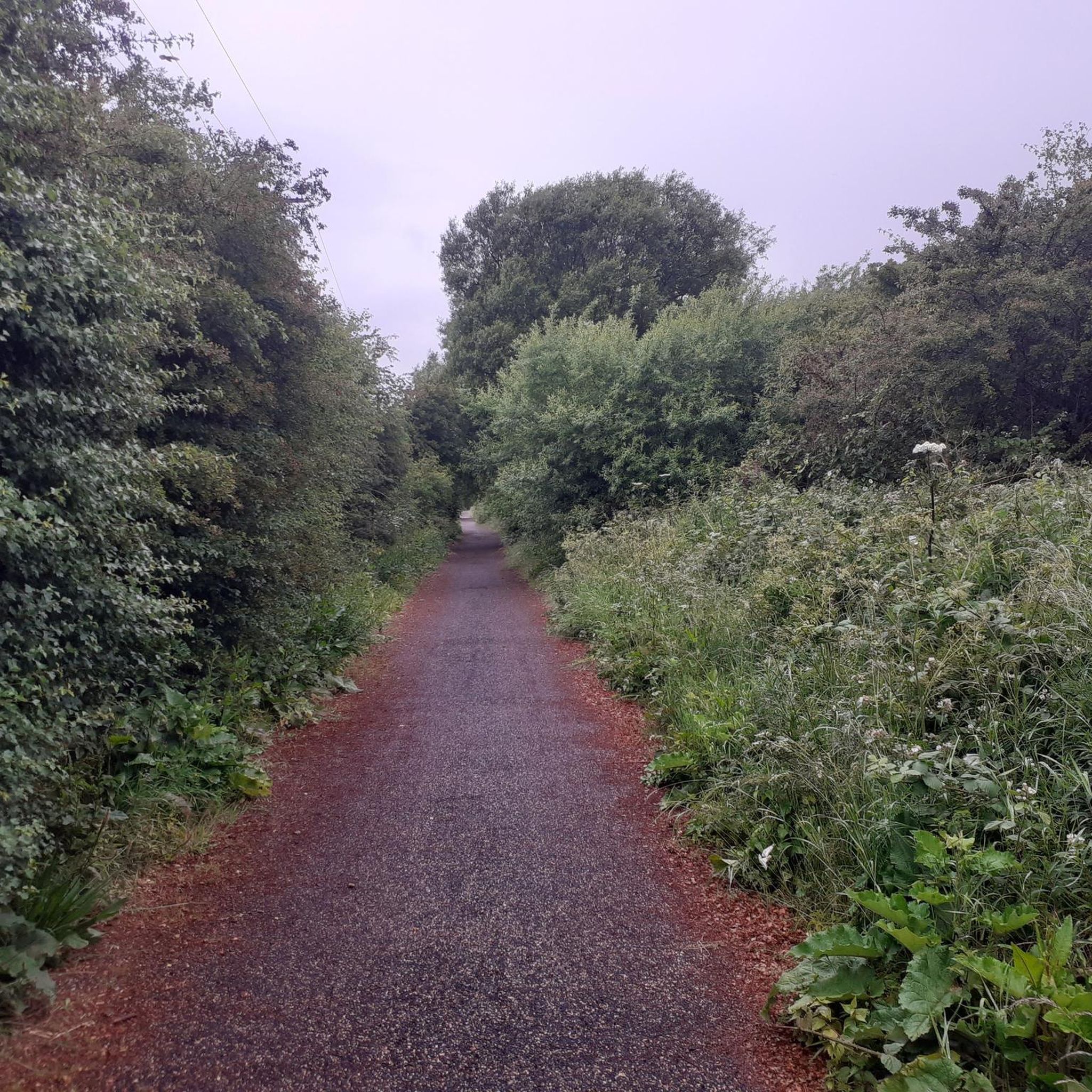
This section of the Trans pennine trail is predominantly made up of gravel and uneven hard packed dirt, once you get close to Maghull the surface changes to tarmac.
0
3
The Scotch Piper is a traditional thatched inn and retains most of its original structural features. It was built round an oak tree in 1320, originally named the "The Royal Oak" until as legend tells, an injured Highland piper from the 1745 rebellion took refuge at the inn. The Piper said to have fallen in love with the innkeepers daughter, hence the name changed to " The Scotch Piper". The pub has also been named "The Bag Pipes", "Highland Piper" and "The Old Lolly" old lolly could refer to Lawrence Ireland, who owned large parts of Lydiate, his family were a very prominent part of the village at that time. The inn is a two-storey "yeoman" dwelling with a cruck frame consisting of three bays (crucks are a medieval form of construction found in the west of England). The inn is a grade II* listed building, protecting the building under strict guidelines to retain its authenticity, which can be seen through out, including wooden beams, open fires and the thatched roof. Next door to
2
0
Around 8000 years ago as Britain was becoming the island that we recognise today the earliest people living here were hunter-gatherers in what is known as the Mesolithic period. Evidence for where they lived is widespread in Britain and many sites have been archaeologically excavated. However, good surviving evidence for how these people lived is restricted to a very few sites. The common view has been that they were scattered nomadic people who lived in small groups with little evidence for them building substantial settlements. In the last ten years or so understanding of the period has begun to improve slowly with new discoveries that have modified this view. The most recent discovery in 2012-13 of rare 8,000 year old houses at Lunt Meadows, Sefton, north of Liverpool, is another important development in our understanding of a way of life that began to disappear about 6000 years ago with the introduction of farming into Britain.
2
1
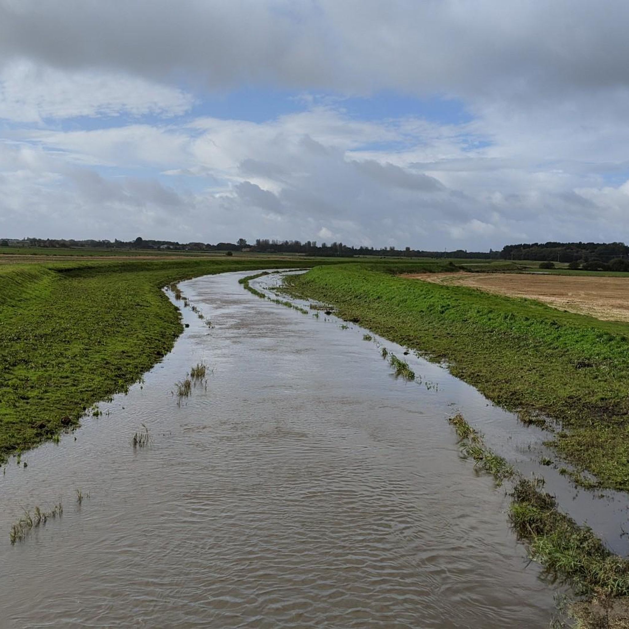
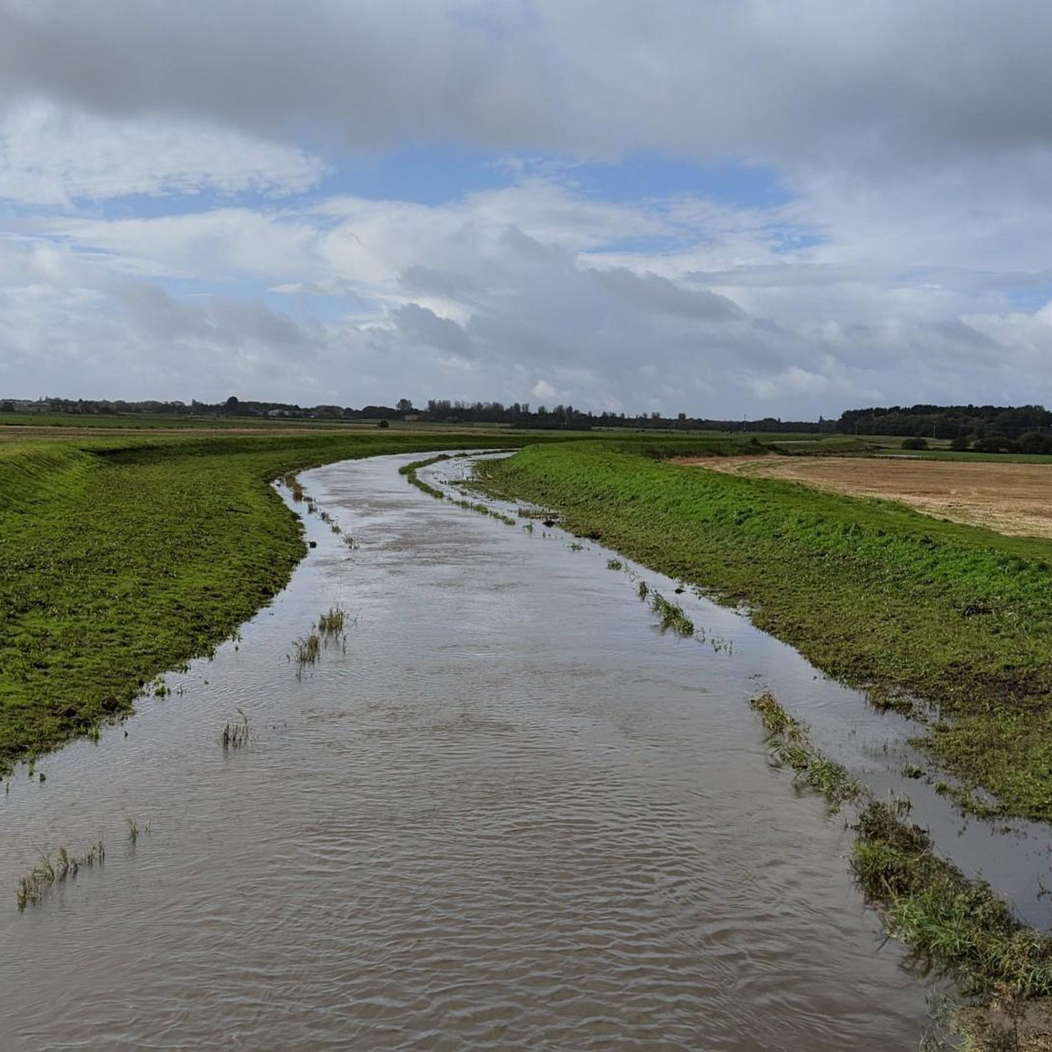
This spectacular wetland nature reserve, nestled along the meandering River Alt in North Merseyside, wasn’t always the wildlife wonderland it is today. Between 2012 and 2014 it was intensively farmed arable land, and only when it was bought by the Environment Agency for development as a flood storage reservoir (that would double as a nature reserve) did Lunt Meadows become a real destination for bird-lovers. The cycle path is gravel good for MTB, gravel and hybrid would be careful with road tyres
2
1
Frequently Asked Questions
How many hiking trails are available around Great Altcar?
There are over 230 hiking routes around Great Altcar, offering a wide range of options for exploring the flat, open landscapes, nature reserves, and canal paths of the region.
Are there easy hiking trails suitable for beginners or casual walkers?
Yes, Great Altcar is well-suited for easy walks, with over 150 routes classified as easy. The terrain is generally flat with minimal elevation changes, making it ideal for a relaxed outdoor experience. An example is the Lunt Meadows Nature Reserve – View of Lunt Meadows loop from Merseyside, which is 3.5 miles (5.7 km) long.
Can I find family-friendly walks in Great Altcar?
Absolutely. The flat and accessible nature of many trails in Great Altcar makes them excellent for families. Routes often follow canal paths or explore nature reserves, providing safe and enjoyable environments for all ages. Consider the St Helen's Well – The Punchbowl loop from Merseyside for a shorter, family-friendly option.
Are dogs allowed on the hiking trails in Great Altcar?
Many trails in Great Altcar are dog-friendly, especially those along canal paths and in open countryside. However, always keep dogs under control, particularly near livestock or in nature reserves where wildlife may be present. Check local signage for specific restrictions.
What kind of scenery can I expect to see on a hike in Great Altcar?
Hiking in Great Altcar offers views of flat, open agricultural fields, tranquil canal paths, and diverse nature reserves. You'll experience the unique low-lying terrain of the region, often with opportunities for birdwatching and enjoying peaceful waterways.
Are there any circular walking routes available?
Yes, many routes in Great Altcar are designed as loops, allowing you to start and finish at the same point. For instance, the Stone Arch Bridge Over Canal – The Scotch Piper Inn loop from Maghull is a popular circular trail that combines canal-side walking with a visit to a historic inn.
What are the typical trail conditions in Great Altcar?
Trails in Great Altcar are generally well-maintained, often consisting of compacted earth, gravel paths, or paved sections along canals. Due to the flat terrain, some paths in agricultural or nature reserve areas can become muddy after rain, especially during wetter seasons.
When is the best time of year to go hiking in Great Altcar?
Spring and summer offer pleasant conditions with warmer weather and blooming nature, making them ideal for exploring. Autumn provides beautiful colours, while winter can be suitable for crisp walks, though some paths might be muddy. The flat terrain makes it accessible year-round, weather permitting.
Are there any interesting landmarks or attractions to see along the trails?
Yes, the area around Great Altcar features several points of interest. You might encounter historical pubs like The Scotch Piper Inn, or explore natural beauty spots such as Woodland Path, Ainsdale National Nature Reserve. Further afield, you can visit Another Place Sculptures, Crosby Beach or enjoy the expansive Formby Beach.
What do other hikers say about the trails in Great Altcar?
The komoot community highly rates the trails in Great Altcar, with an average score of 4.4 stars from over 150 reviews. Hikers often praise the peaceful canal-side walks, the accessibility of the routes, and the opportunities to enjoy nature in the various reserves.
Are there any pubs or cafes along the hiking routes?
Yes, some routes incorporate stops at local establishments. For example, the The Saracens Head, Halsall – St. Michael's Church, Halsall loop from Downholland passes by The Saracens Head, offering a chance for refreshments. Other routes, like the one to The Scotch Piper Inn, also provide opportunities for a break.
How long do hikes in Great Altcar typically take?
Hike durations vary depending on the route and your pace. Many easy trails can be completed in 1-2 hours, such as the 3.5-mile Lunt Meadows loop which takes about 1 hour 27 minutes. Longer routes, like the 10.9-mile Ainsdale Beach – Me Cycle Café & Bike Workshop loop from Formby, can take around 4-5 hours.
Most popular attractions around Great Altcar

Get inspired with the komoot mobile app


Explore more
Browse the best Hikes in other regions.
