The best road cycling routes around Clayton-Le-Dale
4.6
(125)
5,275
riders
265
rides
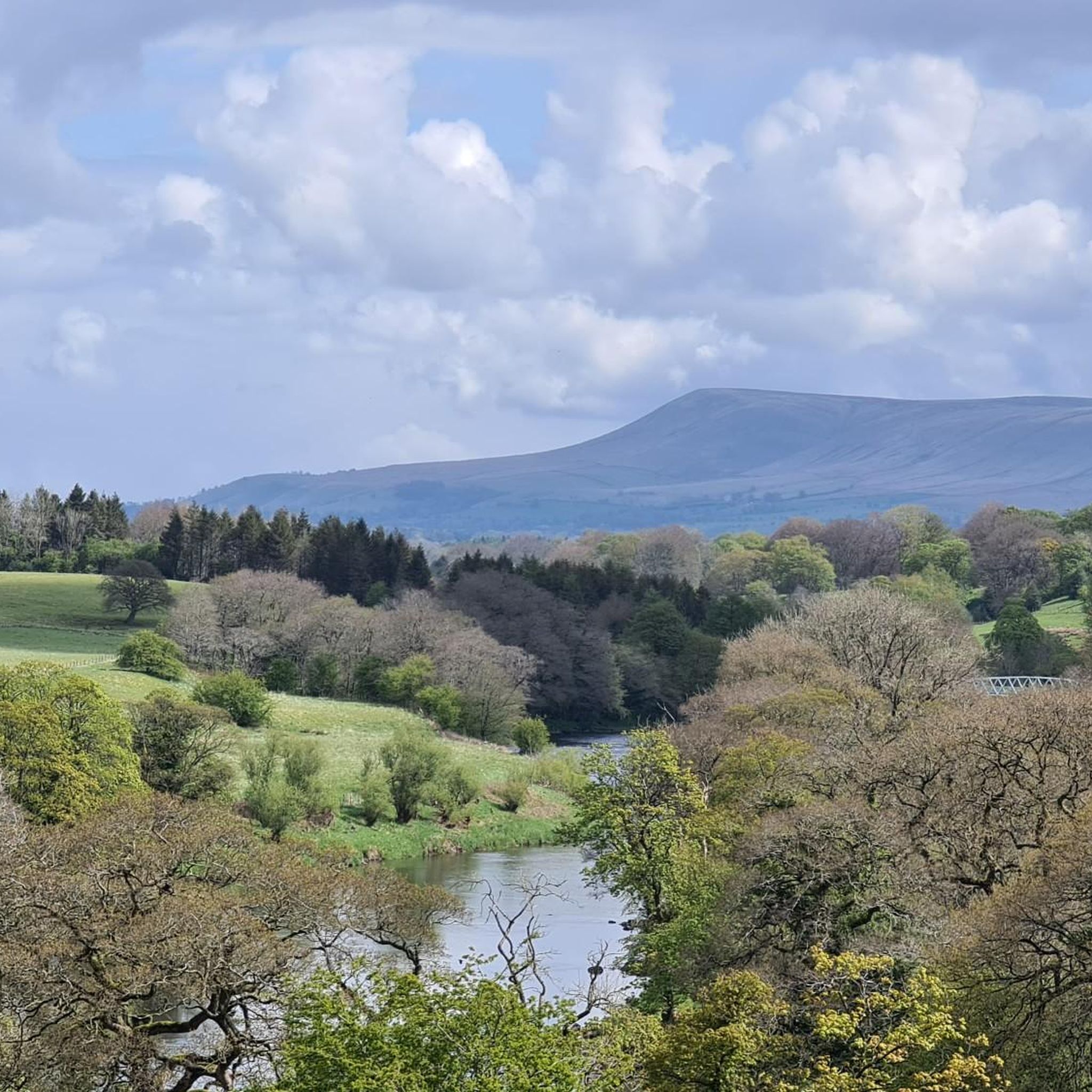
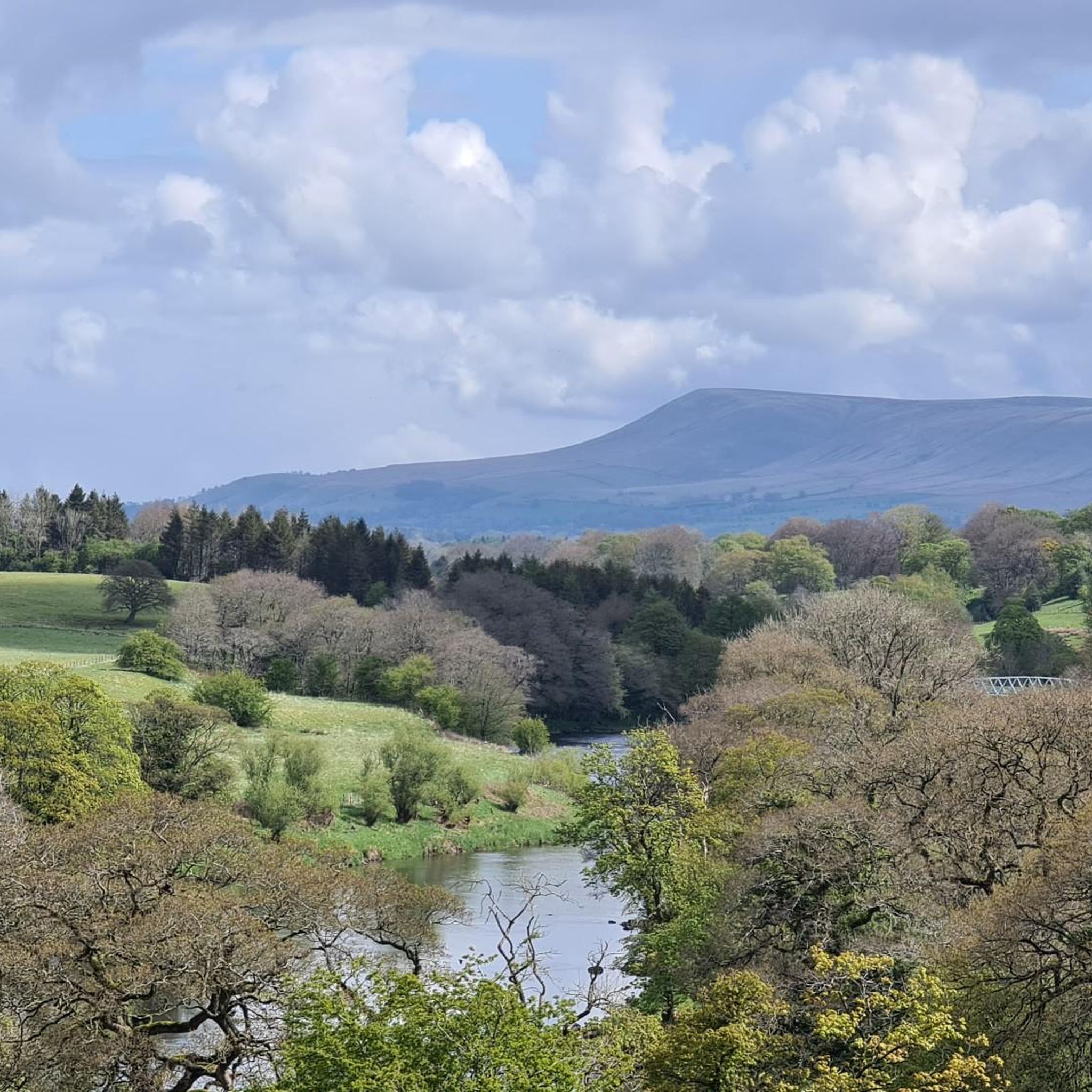
Road cycling routes around Clayton-Le-Dale traverse the scenic Ribble Valley in Lancashire, offering diverse landscapes for cyclists. The area features a varied topography, rising from approximately 75 ft at the River Ribble to nearly 500 ft on the borders of Wilpshire, providing engaging climbs and descents. Cyclists can expect picturesque countryside, including river systems and open terrain, with Longridge Fell offering panoramic views. The region's natural features contribute to a range of road cycling challenges.
Best road cycling routes around…
Last updated: July 4, 2026
5.0
(6)
141
riders
41.6km
01:54
450m
450m
Moderate road ride. Good fitness required. Mostly well-paved surfaces and easy to ride.
4.7
(7)
129
riders
Moderate road ride. Good fitness required. Mostly well-paved surfaces and easy to ride.

Sign up for free
4.4
(8)
115
riders
Moderate road ride. Good fitness required. Mostly well-paved surfaces and easy to ride.
87
riders
53.7km
02:28
650m
650m
Moderate road ride. Good fitness required. Mostly well-paved surfaces and easy to ride.
5.0
(1)
53
riders
103km
05:20
1,620m
1,620m
Hard road ride. Very good fitness required. Some segments of this route may be unpaved and difficult to ride.
Get access to more routes and recommendations from other explorers.
Sign up for free
Already have an account?
Our route recommendations are based on thousands of hikes, rides, and runs completed by other people on komoot.
Start today with a free account
Your next adventure awaits.
Login or Signup
Tips from the Community

Currently closed due to risk of collapse, but you can see it from the road!
0
0

I went today to for a stop off but the woman told me it's not a cafe anymore. But you can come in if your interested in weddings. Nevermind plenty more cafe around.
0
0

This is marked as an intermediate walk which, in the main is accurate. The walk starts with a steep incline, well covered in the walk description. What is less documented is the subsequent decent which can be challenging for the novice/ intermediate walker. The path down is narrow and the potential fall severe. Please be aware. Other than that, the walk offers wonderful views after the initial climb and relatively sedate walk after decent.
0
0


The actual centre of the British Isles is roughly 4 miles from the village but it is a pretty village to visit on the banks of the River Hodder.
0
1
Friendly and nice cafe. Very helpful with directions etc…
1
0


More a wedding venue these days, but still worth including on a ride.
0
0
Frequently Asked Questions
How many road cycling routes are available around Clayton-Le-Dale?
There are over 280 road cycling routes available around Clayton-Le-Dale, offering a wide variety of options for different skill levels and preferences.
What kind of terrain can I expect when road cycling in Clayton-Le-Dale?
The terrain around Clayton-Le-Dale is quite varied, rising from approximately 75 ft at the River Ribble to nearly 500 ft on the borders of Wilpshire. You can expect picturesque countryside, including river systems and open terrain, with engaging climbs and descents. Prominent features like Longridge Fell offer stunning panoramic views, and most routes feature mostly paved surfaces suitable for road bikes.
Are there road cycling routes suitable for beginners or families in Clayton-Le-Dale?
Yes, Clayton-Le-Dale offers a good selection of routes for various abilities. Out of the over 280 routes, 84 are classified as easy, making them suitable for beginners or families looking for a more relaxed ride. These routes often connect local landmarks and green spaces.
What are the difficulty levels of road cycling routes in Clayton-Le-Dale?
The routes in Clayton-Le-Dale cater to all levels. You'll find 84 easy routes, 166 moderate routes, and 32 difficult routes for those seeking a greater challenge with significant elevation gain. This diverse offering ensures there's something for every road cyclist.
Are there circular road cycling routes available in Clayton-Le-Dale?
Many of the road cycling routes around Clayton-Le-Dale are designed as loops, allowing you to start and finish at the same point. For example, the moderate Whalley Village Centre – Hodder Bridge loop from Ramsgreave and Wilpshire is a popular circular option, as is the longer Whalley Village Centre – Waddington Village loop from Ramsgreave and Wilpshire.
What natural landmarks can I see along road cycling routes in the area?
Road cycling routes in Clayton-Le-Dale often pass by significant natural landmarks. You might encounter the Confluence of the Rivers Calder and Ribble, or enjoy views from the View of the Forest of Bowland from Jeffrey Hill. Some routes also offer glimpses of the Rough Hill Trig Point.
Can I find places to stop and relax, like nature reserves or lakes, along the routes?
Yes, several routes offer opportunities to visit tranquil spots. The Brockholes Nature Reserve, with its ancient woodlands and lakes, is a notable stop. You might also cycle past other scenic lakes such as Dean Clough Reservoir or the Roddlesworth Reservoirs.
Where can I find parking for road cycling in Clayton-Le-Dale?
While specific parking areas for cyclists are not detailed, Clayton-Le-Dale and nearby villages often have public car parks or on-street parking options. It's advisable to check local signage upon arrival for the most current parking regulations and availability.
Is public transport available to reach road cycling starting points in Clayton-Le-Dale?
Clayton-Le-Dale is situated within the Ribble Valley, and local bus services connect it to larger towns like Blackburn and Preston. These services can provide access to the area, though specific routes and bike carriage policies should be checked with the local transport provider before planning your journey.
Are there cafes or pubs along the road cycling routes in Clayton-Le-Dale?
The Ribble Valley region is known for its charming villages and countryside pubs. Many road cycling routes will pass through or near villages where you can find cafes and pubs for refreshments. Brockholes Nature Reserve also features a floating cafe and visitor center, offering a pleasant stop.
What do other road cyclists enjoy most about cycling in Clayton-Le-Dale?
The road cycling experience in Clayton-Le-Dale is highly rated by the komoot community, with an average score of 4.6 stars from over 90 reviews. Cyclists frequently praise the diverse landscapes, the engaging climbs and descents, and the scenic beauty of the Ribble Valley countryside.
What is the best time of year for road cycling in Clayton-Le-Dale?
The spring and summer months generally offer the most pleasant conditions for road cycling in Clayton-Le-Dale, with milder weather and longer daylight hours. Autumn can also be beautiful with changing foliage. While cycling is possible year-round, be prepared for potentially wet or colder conditions during winter, especially on higher ground like Longridge Fell.
Most popular routes around Clayton-Le-Dale
Most popular attractions around Clayton-Le-Dale

Get inspired with the komoot mobile app


Explore more
Browse the best Road cycling routes in other regions.
