The best walks and hikes around Priest Hutton
4.5
(1373)
9,031
hikers
451
hikes
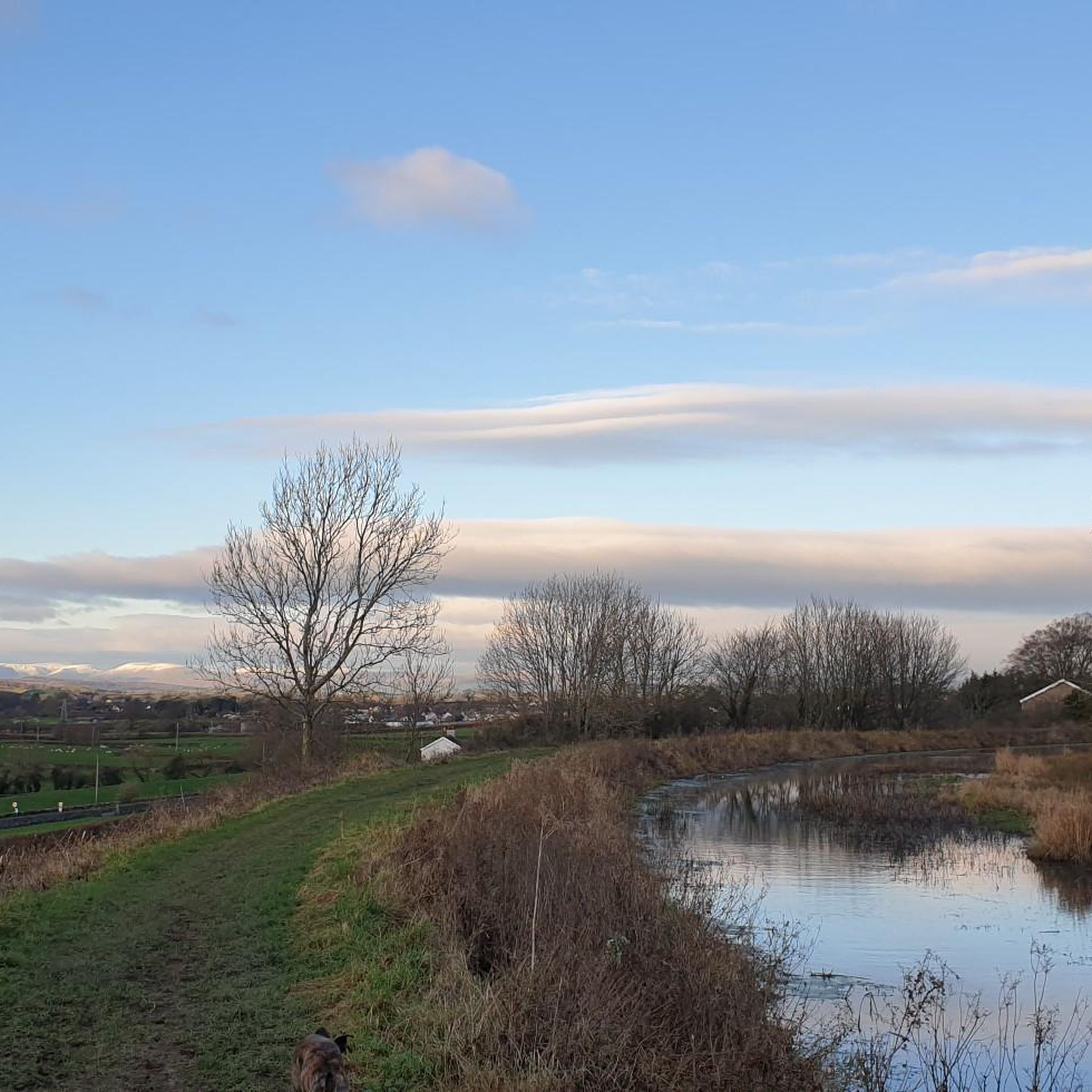
Hiking around Priest Hutton offers a diverse landscape characterized by limestone hills, wetlands, and woodlands. The region is situated near the Arnside & Silverdale Area of Outstanding Natural Beauty, providing varied terrain for outdoor activities. Trails often feature views over Morecambe Bay and access to nature reserves.
Best hiking trails around Priest Hutton
- The most popular hiking route is Leighton Moss to Tewitfield loop – Arnside and Silverdale, a 8.7 miles (14.0 km) trail that takes 3 hours 51 minutes to complete, traversing wetlands and rural paths.
- Another top favourite among local hikers is Warton Crag Trig Point – View from Warton Crag loop from St Oswald's Church, a moderate 7.0 miles (11.2 km) path. This route offers panoramic views from Warton Crag hill.
- Local hikers also love the Hiking loop from Borwick, a 3.5 miles (5.7 km) trail leading through rural countryside, often completed in about 1 hour 27 minutes.
- Hiking around Priest Hutton is defined by limestone hills, nature reserves, and open fells, with options for both easy hikes and more challenging moderate routes. The network offers trails suitable for various ability levels.
- The routes in Priest Hutton are highly rated by the komoot community with an average score of 4.6 stars from over 1,100 reviews. More than 8,000 hikers have used komoot to explore Priest Hutton's varied terrain.
Last updated: October 8, 2026
4.0
(1)
2
hikers
14.0km
03:52
230m
230m
Moderate hike. Good fitness required. Mostly accessible paths. Sure-footedness required.
4.7
(9)
30
hikers
Moderate hike. Good fitness required. Easily-accessible paths. Suitable for all skill levels.

4.7
(3)
54
hikers
5.69km
01:27
20m
20m
Easy hike. Great for any fitness level. Easily-accessible paths. Suitable for all skill levels.
3.0
(1)
7
hikers
13.8km
03:57
310m
320m
Moderate hike. Good fitness required. Easily-accessible paths. Suitable for all skill levels.
4.9
(7)
13
hikers
Moderate hike. Good fitness required. Easily-accessible paths. Suitable for all skill levels.
Get access to more routes and recommendations from other explorers.
Already have an account?
Our route recommendations are based on thousands of hikes, rides, and runs completed by other people on komoot.
Start today with a free account
Your next adventure awaits.
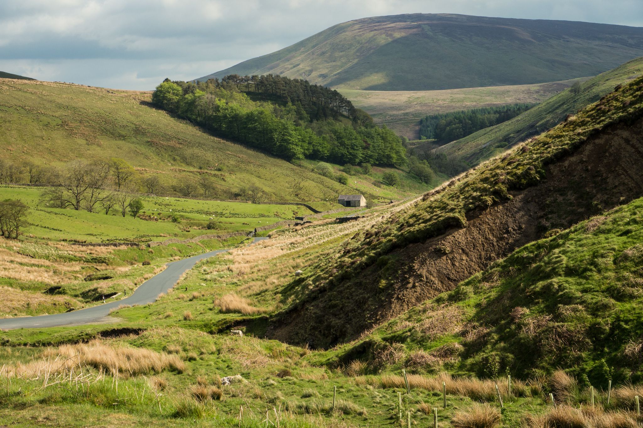
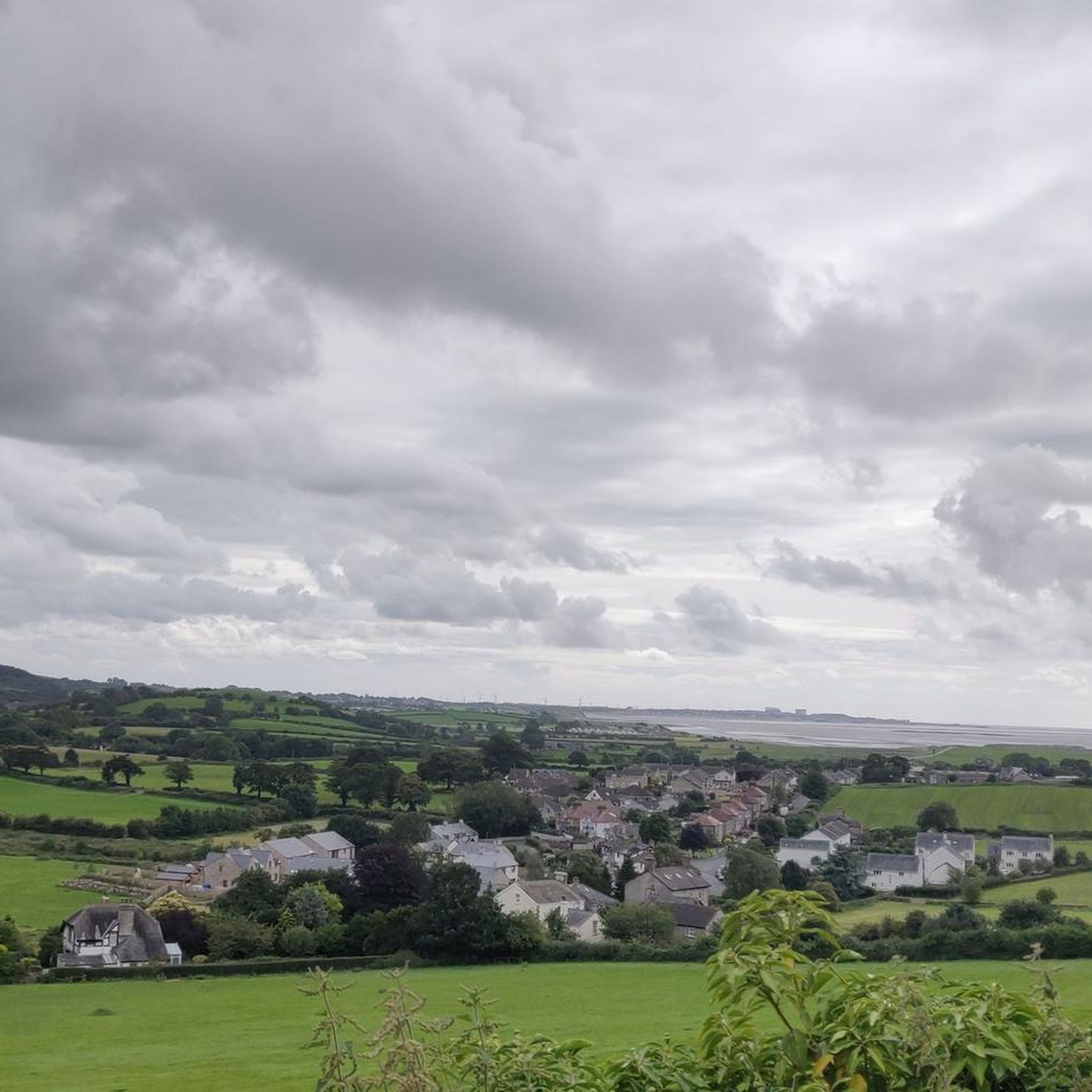
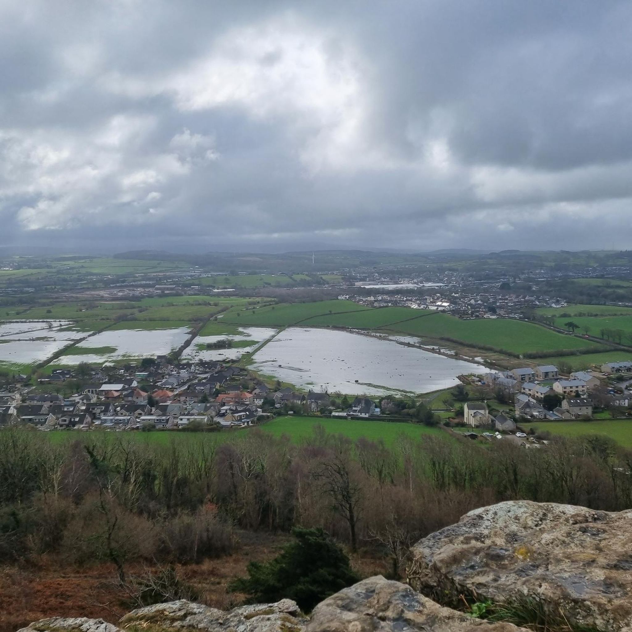
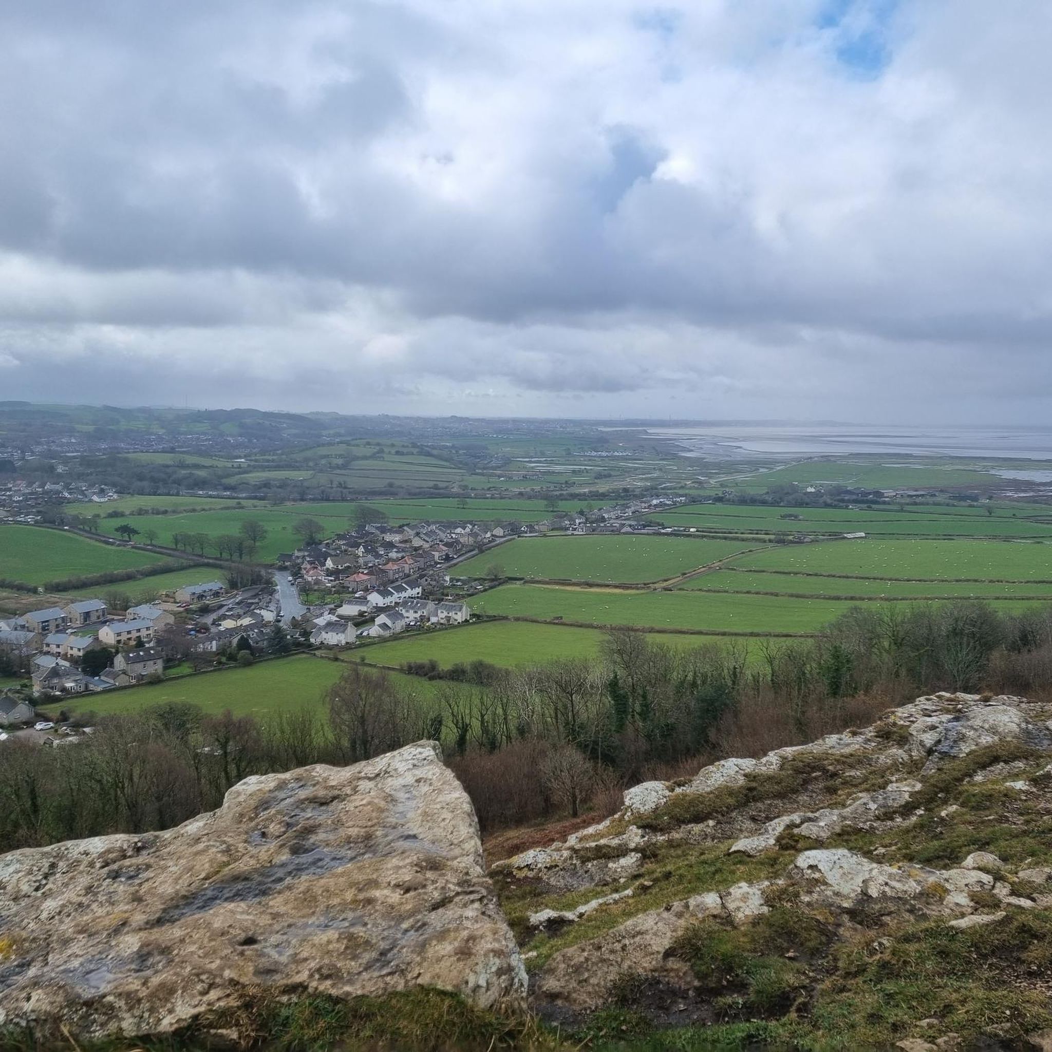

Other adventures around Priest Hutton

Tips from the Community

The Keer Aquaduct at Capernwray carries the Lancaster Canal over the River Keer. A single span of 43 feet carrying the canal 35 feet above the river. Built in 1797 and designed by John Rennie.
0
0
The Keer Viaduct carries the railway over the River Keer. Built in the 1860's it is about 145 yards long. Just to the east of the viaduct and single span bridge crosses the Lancaster Canal.
0
0
A little bit of confusion here. Most of the pictures are of the Keer Viaduct a railway viaduct which carries the railway of the River Keer. The Keer Aqueduct is a little further upstream and carries the Lancaster Canal over the River Keer. There is also a picture of the Packhorse Bridge which dates back to between 1300 and 1500.
0
0

Warton Crag 163m P126 (535ft) [Hump] (DoBIH Hill ID: 5299) [JNSA 20678] Arnside & Silverdale National Landscape Definitive List summit. County of Lancashire Definitive List summit.
0
0

Beautiful mix of coastal walk and forest oh and a big hill if you fancy it with great views. The town of Arndale is worth a stroll around beautiful clean with a great chippy.
0
0

need good hiking footwear as it's quite steep climbing up and down.
1
0


Frequently Asked Questions
How many hiking trails are available around Priest Hutton?
There are over 450 hiking routes in the Priest Hutton area, catering to various skill levels. Approximately 245 of these are rated as easy, 203 as moderate, and 11 as difficult, offering a wide range of options for exploration.
Are there easy or beginner-friendly hiking routes in Priest Hutton?
Yes, Priest Hutton offers many easy routes suitable for beginners. For example, the Hiking loop from Borwick is an easy 3.5-mile (5.7 km) trail that can be completed in under 1.5 hours, leading through pleasant rural countryside.
What kind of views or natural landmarks can I expect on hikes near Priest Hutton?
The region is known for its diverse landscape, including limestone hills, wetlands, and woodlands. Many trails offer views over Morecambe Bay. You can also explore natural landmarks such as Arnside Knott or the unique Fairy Steps.
Are there any circular walks available in the Priest Hutton area?
Yes, many routes around Priest Hutton are circular, allowing you to start and end at the same point. A popular option is the Leighton Moss to Tewitfield loop – Arnside and Silverdale, which is a moderate 8.7-mile (14.0 km) trail traversing wetlands and rural paths.
Are the hiking trails around Priest Hutton suitable for families?
Many of the easier routes are suitable for families, especially those looking for shorter distances and less elevation gain. The area's varied terrain, including woodlands and nature reserves, provides interesting environments for children to explore. Look for trails rated as 'easy' for the most family-friendly options.
Can I bring my dog on the hiking trails in Priest Hutton?
Most trails in the Priest Hutton area are dog-friendly, but it's always advisable to keep dogs on a lead, especially when passing through farmland with livestock or nature reserves where wildlife might be present. Always follow the Countryside Code.
Where can I find parking for hiking routes near Priest Hutton?
Parking availability varies by trailhead. Some routes, like the Farleton Fell Summit – Free Parking Near M6 loop from Burton-in-Kendal, specifically mention free parking options. For other routes, look for designated car parks in nearby villages or along main roads, or check the route details on komoot for specific parking information.
What is the best time of year to go hiking in Priest Hutton?
Spring and autumn generally offer the most pleasant hiking conditions with mild temperatures and beautiful scenery. Summer is also popular, but trails can be busier. Winter hiking is possible, but be prepared for potentially muddy conditions and shorter daylight hours, especially on higher ground like Warton Crag Trig Point.
Are there any historical sites or interesting points of interest along the trails?
Yes, the region has several points of interest. You might encounter historical sites like Devil's Bridge, Kirkby Lonsdale, or the industrial heritage of Jenny Brown's Point Chimney. The Lancaster Canal also offers pleasant towpath walks.
What do other hikers say about the trails in Priest Hutton?
The hiking routes in Priest Hutton are highly regarded by the komoot community, with an average rating of 4.6 stars from over 1,100 reviews. Hikers often praise the diverse landscapes, well-maintained paths, and the opportunity to experience both tranquil wetlands and panoramic views from limestone hills.
Are there any less crowded hiking options around Priest Hutton?
While popular routes can see more visitors, the extensive network of over 450 trails means it's often possible to find quieter paths, especially on weekdays or by exploring some of the less-advertised local loops. Consider trails that venture slightly further from well-known landmarks for a more secluded experience, such as the Hutton Roof Crag Trig Point loop.
Most popular routes around Priest Hutton
Most popular attractions around Priest Hutton

Get inspired with the komoot mobile app


Explore more
Browse the best Hikes in other regions.
