The 6 Most Amazing Peaks around Gressingham
Best mountain peaks around Gressingham offer diverse hiking opportunities within a varied natural landscape. This region, situated near the Lune Valley and encompassing parts of the Forest of Bowland, features a mix of fells and crags. Visitors can explore several distinct summits, each providing unique perspectives of the surrounding countryside. The area is characterized by its elevated terrain, making it suitable for those seeking mountain walks.
Best mountain peaks around Gressingham
- The most popular mountain peak is Clougha Pike,…
Last updated: October 7, 2026
Clougha Pike
Highlight • Summit
Tip by

Ward's Stone Summit Trig Point
Highlight • Natural Monument
Tip by

Sign up now to discover places like this
Get recommendations on the best single tracks, peaks, & plenty of other exciting outdoor places.
Farleton Fell (Holmepark Fell)
Highlight • Summit
County of Westmorland Definitive List
Tip by

Summerhouse Hill summit
Highlight • Summit
(DoBIH Hill ID: 16287) [JNSA 23026]
Arnside & Silverdale National Landscape Definitive List summit.
County of Lancashire Definitive List summit.
Tip by
Hutton Roof Crags Summit
Highlight • Summit
County of Westmorland Definitive List
Tip by
Sign up for free to discover even more peaks around Gressingham.
Already have an account?
Start today with a free account
Your next adventure awaits.

Tips from the Community

stunning views, very quiet and peaceful walk. would recommend good shoes especially for the downhill spell.
0
0

Summerhouse Hill 126m P32 (413ft) (DoBIH Hill ID: 16287) [JNSA 23026] Arnside & Silverdale National Landscape Definitive List summit. County of Lancashire Definitive List summit.
0
0

A nice easy walk around the top.look out for the deer
0
0
Hutton Roof Crags 274.3m P175 (900ft) (DoBIH Hill ID: 2682) [JNSA 14601] County of Westmorland Definitive List
0
0
Farleton Fell (Holmepark Fell) 265m P74 (869ft) (DoBIH Hill ID: 16143) [JNSA 15194] County of Westmorland Definitive List
1
0

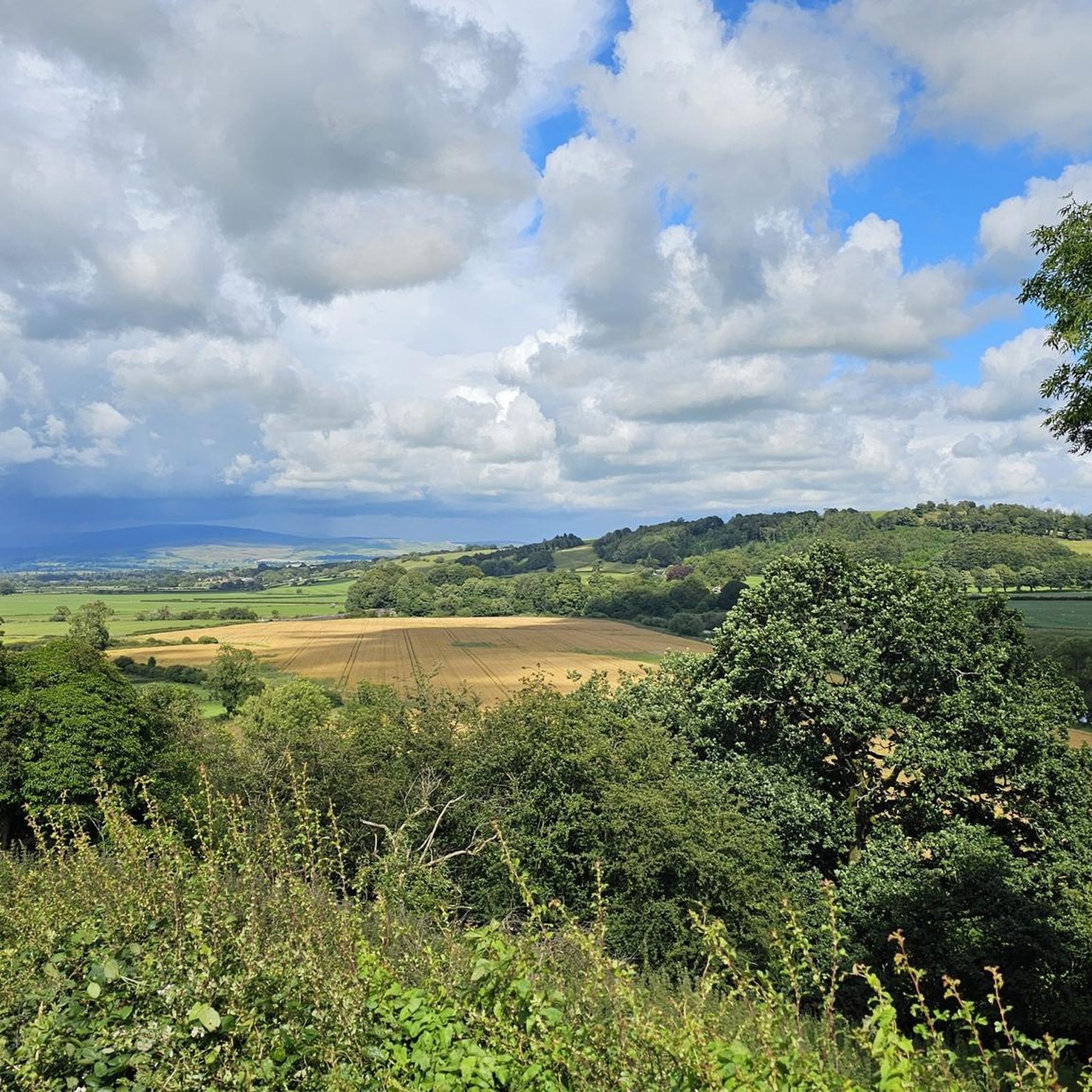
The trig point at this end of the ridge and the eastern edge of the Forest of Bowland stands at 413m. It offers amazing views west out over Lancaster to Morecombe Bay and north-west to the Lake District. The ridgeline from here to Ward's Stone and beyond is a great run, it can be turned into a loop from any of the local car parks.
0
0
Ward's Stone at 561m is the highest point in the Forest of Bowland. The Trig Point and rocky outcrop make a good summit on this excellently runnable ridge from Clougha Pike in the west to Wolfhole Crag in the east. Great views all across the Forest of Bowland, out over the Irish Sea and even up into the Lake District.
0
0

This is the highest point in the Forest of Bowland, it has a trig point and on a clear day, you can see the Lake District fells from here. It's a wonderful view.
0
0
Frequently Asked Questions
What are some of the most notable mountain peaks around Gressingham?
The region around Gressingham, nestled near the Lune Valley and Forest of Bowland, offers several distinct summits. Popular choices include Clougha Pike, known for its trig point and views towards Morecambe Bay and the Lake District. Another significant peak is Ward's Stone Summit Trig Point, which is the highest point in the Forest of Bowland, offering expansive views on clear days.
Are there family-friendly mountain walks available near Gressingham?
Yes, Gressingham offers options suitable for families. Hutton Roof Crags Summit is categorized as family-friendly and provides a nice, easy walk around the top, where you might even spot deer.
What kind of views can I expect from the mountain peaks in this area?
From many of the peaks, you can enjoy panoramic vistas. For instance, Clougha Pike offers amazing views out to Morecambe Bay and north-west to the Lake District. Similarly, Farleton Fell Summit provides excellent views of Morecambe Bay to the west and the Lake District peaks to the north.
What is the highest point in the Forest of Bowland near Gressingham?
The highest point in the Forest of Bowland is Ward's Stone Summit Trig Point, standing at 561m. On a clear day, you can see the Lake District fells from this summit, along with views across the Forest of Bowland and out over the Irish Sea.
Are dogs allowed on all mountain trails around Gressingham?
It's important to check specific regulations for each area. For example, dogs are generally not allowed on Clougha Pike due to grouse shooting and breeding activities in the area.
What outdoor activities can I do near the mountain peaks around Gressingham?
Beyond hiking the peaks, the area offers diverse outdoor activities. You can explore various running trails, such as the 'Running loop from Wray' or the 'Carnforth War Memorial loop from Over Kellet'. For mountain biking enthusiasts, there are routes like the 'Arnside Knott and RSPB Leighton Moss loop' or 'Caton Moor loop'. You can find more details on these activities in the Running Trails around Gressingham and MTB Trails around Gressingham guides.
Are there easy hiking trails near Gressingham's mountain peaks?
Yes, there are several easy hiking trails in the vicinity. Options include the 'Caton Lune Bridge – View of Crook O’Lune loop from Halton-with-Aughton' and the 'Hornby Weir – Hornby Bridge loop from Hornby-with-Farleton'. These routes offer accessible ways to enjoy the natural landscape. For more easy options, refer to the Easy hikes around Gressingham guide.
What is the best time of year to hike the Gressingham mountains?
While specific seasonal tips for Gressingham are not detailed, generally, the best time for mountain hiking in regions like the Lune Valley is during spring, summer, and early autumn when the weather is milder and daylight hours are longer. Always check the local weather forecast before heading out.
Where can I find information about parking for mountain trails in Gressingham?
Specific parking information for individual trailheads around Gressingham is best found by researching the starting points of the routes you plan to take. Many local car parks serve the various fells and crags in the area, particularly those offering access to the Forest of Bowland.
What makes the mountain peaks around Gressingham appreciated by the komoot community?
The komoot community appreciates the diverse hiking opportunities and varied natural landscape. Users have shared numerous photos and upvoted the peaks, highlighting the stunning views, the challenge of intermediate climbs, and the overall beauty of the fells and crags in the region.
Can I reach the mountain peaks around Gressingham using public transport?
While Gressingham is a rural area, public transport options might be limited directly to mountain trailheads. It's advisable to research local bus services to nearby villages or towns and plan your route accordingly, as some trail starts may require a short walk or taxi ride from public transport stops.
Are there any specific permits required for hiking in the Gressingham mountain areas?
Generally, permits are not required for hiking on public rights of way in the Gressingham area, including within the Forest of Bowland. However, always respect private land and follow any local signage regarding access or restrictions, especially in areas designated for conservation or specific activities like grouse shooting.
Most popular attractions around Gressingham

Get inspired with the komoot mobile app


Explore more
See even more amazing summits around Gressingham with these guides:
