The best road cycling routes around Altham
4.6
(173)
7,757
riders
222
rides
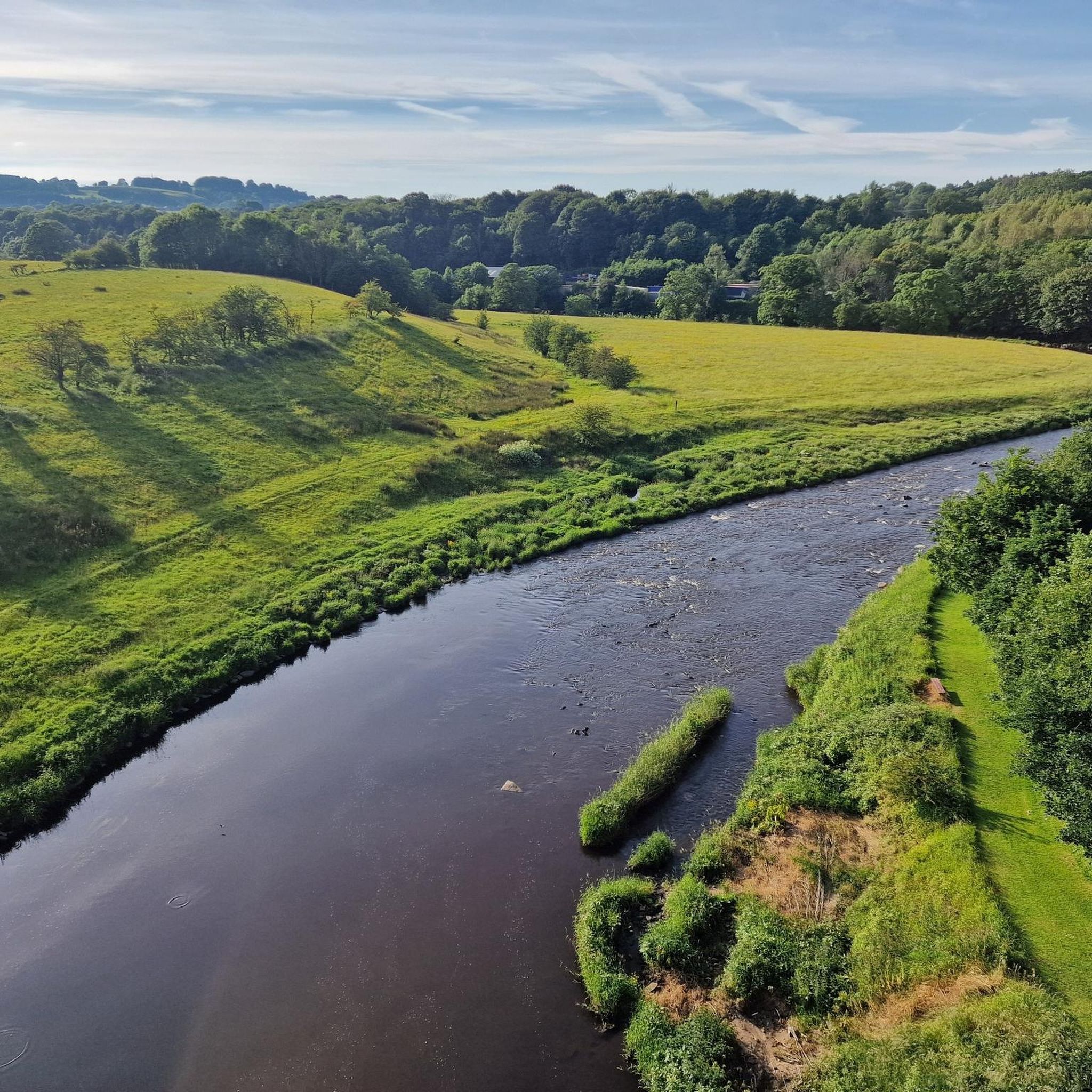
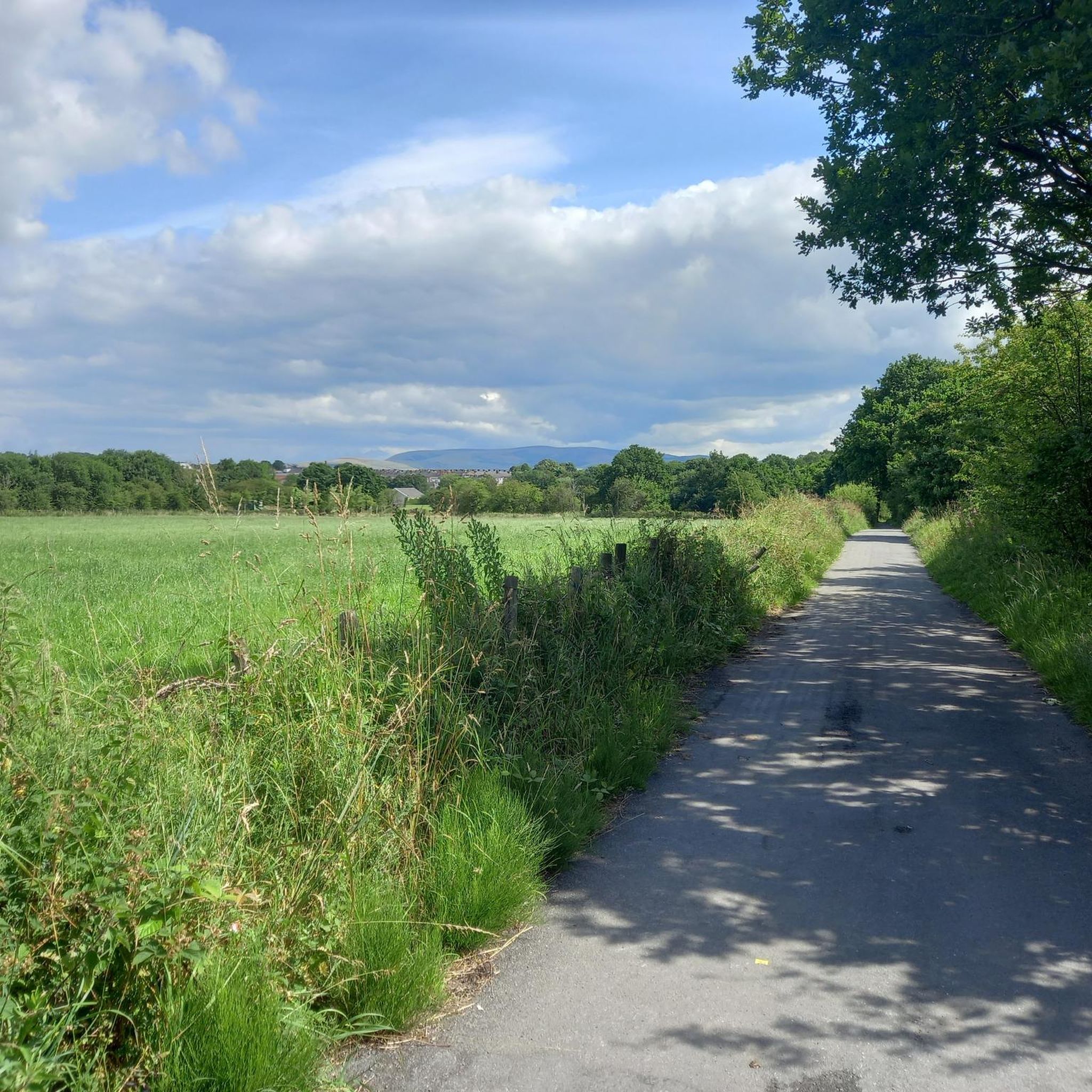
Road cycling routes around Altham offer access to the diverse landscapes of Lancashire, including the Forest of Bowland National Landscape. The region features undulating lowlands, open moorland, and quiet country lanes, providing varied terrain for cyclists. Altham is situated near the River Calder, with prominent landmarks like Pendle Hill contributing to the area's elevation changes. This setting provides a mix of moderate climbs and scenic routes through picturesque villages.
Best road cycling routes around Altham
- The most popular road cycling…
Last updated: July 10, 2026
4.3
(7)
220
riders
54.5km
02:31
570m
570m
Moderate road ride. Good fitness required. Mostly well-paved surfaces and easy to ride.
5.0
(1)
35
riders
52.4km
02:32
670m
670m
Moderate road ride. Good fitness required. Mostly well-paved surfaces and easy to ride.

Sign up for free
28
riders
43.7km
02:13
690m
690m
Moderate road ride. Good fitness required. Mostly well-paved surfaces and easy to ride.
30
riders
61.6km
03:04
760m
760m
Moderate road ride. Good fitness required. Mostly well-paved surfaces and easy to ride.
13
riders
56.6km
03:02
920m
920m
Hard road ride. Very good fitness required. Mostly well-paved surfaces and easy to ride.
Get access to more routes and recommendations from other explorers.
Sign up for free
Already have an account?
Our route recommendations are based on thousands of hikes, rides, and runs completed by other people on komoot.
Start today with a free account
Your next adventure awaits.
Login or Signup

Tips from the Community

Currently closed due to risk of collapse, but you can see it from the road!
0
0

I went today to for a stop off but the woman told me it's not a cafe anymore. But you can come in if your interested in weddings. Nevermind plenty more cafe around.
0
0


More a wedding venue these days, but still worth including on a ride.
0
0
On the outskirts of Clitheroe, The pump has excellent food and the roads leading here are super quiet.
0
0
Can often get busy at weekends but generally the roads leading here are quiet.
0
0
Beautiful views and generally the roads are super quiet in this area.
0
0
Frequently Asked Questions
How many road cycling routes are available around Altham, and what are their difficulty levels?
Altham offers a wide selection of road cycling routes, with over 240 options to explore. These routes cater to various skill levels, including 34 easy routes, 157 moderate routes, and 49 challenging routes for experienced cyclists.
What kind of terrain can I expect when road cycling near Altham?
The road cycling terrain around Altham is quite diverse, ranging from undulating lowlands to dramatic open moorland. You'll encounter quiet country lanes, picturesque villages, and areas with significant elevation gains, especially when venturing towards the Forest of Bowland National Landscape or around Pendle Hill.
Are there any family-friendly road cycling routes in the Altham area?
Yes, Altham and the surrounding Lancashire region offer traffic-free cycle routes, including off-road paths and canal towpaths, which are ideal for families. While specific road cycling routes are generally on quiet country lanes, the broader network includes over 340 km of traffic-free options, providing safer and more relaxed rides for all ages.
What are some notable landmarks or viewpoints I can see along road cycling routes near Altham?
Road cycling routes around Altham often pass by significant natural and historical landmarks. You can enjoy views of Pendle Hill, known for its dramatic vistas, or the Confluence of the Rivers Calder and Ribble. Historic sites like Stonyhurst College and Compston's Cross also offer interesting points of interest.
What do other road cyclists enjoy most about the routes in Altham?
The road cycling routes around Altham are highly rated by the komoot community, with an average score of 4.6 stars from over 140 reviews. Cyclists frequently praise the diverse terrain, the scenic beauty of the Lancashire countryside, and the quiet country lanes that make for an enjoyable riding experience.
Can I find circular road cycling routes starting near Altham?
Yes, many of the road cycling routes in the Altham area are designed as loops, allowing you to start and finish in the same location. For example, the moderate route Chipping Village – Whalley Village Centre loop from Read is a popular circular option, as is the Whalley Village Centre – Hodder Bridge loop from Read.
Are there any specific areas known for challenging climbs for advanced road cyclists?
For advanced road cyclists seeking challenging climbs, the areas around Pendle Hill and within the Forest of Bowland National Landscape offer significant elevation gains and demanding ascents. Routes like View of Rivington Reservoir – View of Chorley and the Coast loop from Huncoat provide a difficult, long-distance challenge with substantial climbing.
What is the best time of year to go road cycling in Altham?
The best time for road cycling in Altham is generally during the spring, summer, and early autumn months (April to October) when the weather is milder and daylight hours are longer. This period offers the most pleasant conditions for exploring the diverse landscapes of Lancashire.
Are there cafes or pubs along the road cycling routes near Altham where I can stop for refreshments?
Yes, many road cycling routes in the Altham area pass through charming villages within the Ribble Valley and the wider Lancashire countryside. These villages often have local cafes, pubs, and shops where cyclists can stop for refreshments, meals, or to refill water bottles.
How can I access the Leeds-Liverpool Canal cycle path from Altham?
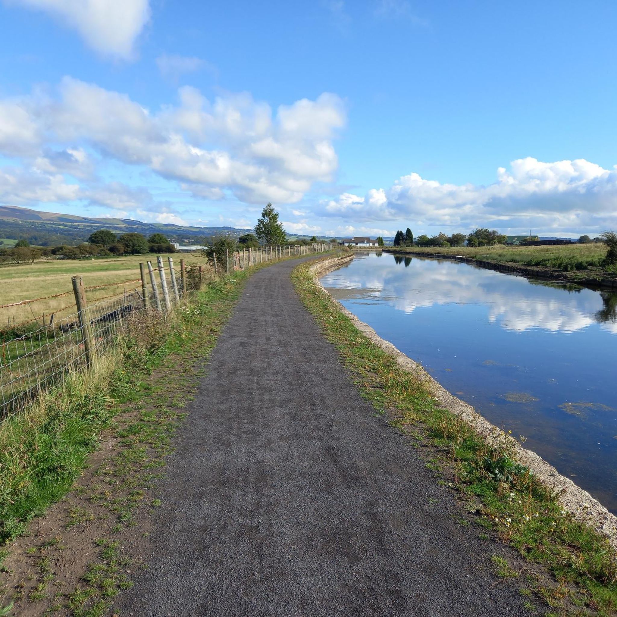
While Altham itself is not directly on the Leeds-Liverpool Canal, sections of the Pennine Cycleway (Route 68) carry on along the iconic Leeds-Liverpool Canal towpath. You can access these sections from nearby towns like Burnley, which connect to Altham's wider cycling network, offering a traffic-free alternative for part of your ride.
Is there public transport available to reach cycling starting points around Altham?
Altham is a village in Lancashire, and while local bus services connect it to nearby towns like Accrington, public transport options for reaching specific rural cycling starting points might be limited. It's advisable to check local bus schedules or consider driving to a suitable starting point with parking, especially for routes further into the Forest of Bowland.
What are some of the longer road cycling routes available from the Altham area?
For those looking for longer rides, routes like Whalley Village Centre – Downham Village loop from Huncoat covers approximately 37.9 miles (61.0 km). The most challenging route, View of Rivington Reservoir – View of Chorley and the Coast loop from Huncoat, extends to nearly 60 miles (96.9 km) and features significant elevation.
Most popular attractions around Altham

Get inspired with the komoot mobile app


