The best walks and hikes around Osmotherley
4.5
(621)
4,961
hikers
331
hikes
Hiking around Osmotherley offers a diverse landscape at the western edge of the North York Moors National Park. The region features expansive heather moorland, sheltered woodlands, tranquil valleys, and open fields. Prominent natural features include Cod Beck Reservoir and Beacon Hill, which provides panoramic views across the Vale of York. The terrain varies from accessible reservoir paths to high moorland ridges and dense forest sections.
Best hiking trails around Osmotherley
- The most popular hiking route is Cod Beck Reservoir and Beacon Hill loop, a 4.4 miles (7.2 km) moderate trail that typically takes around 2 to 3 hours to complete. This route combines a serene reservoir walk with an ascent to Beacon Hill for expansive views.
- Another top favourite among local hikers is Osmotherley Circular Walk, an 8.7 miles (14 km) path. This trail offers a blend of natural beauty, historical landmarks like Mount Grace Priory, and diverse wildlife through woodlands and open areas.
- Local hikers also love the Black Hambleton and Thimbleby Bank Plantation loop, a 10.3 miles (16.6 km) moderate trail leading through open moorland and forested sections, often completed in about 5 to 6 hours.
- Hiking around Osmotherley is defined by heather moorland, sheltered woodlands, and tranquil valleys. The network of trails offers options for various ability levels, from easy reservoir walks to more challenging moorland paths.
- The routes in Osmotherley are highly rated by the komoot community with an average score of 4.5 stars from over 560 reviews. More than 4000 hikers have used komoot to explore Osmotherley's varied terrain.
Last updated: August 28, 2026
5.0
(9)
30
hikers
18.6km
04:55
170m
170m
Moderate hike. Good fitness required. Easily-accessible paths. Suitable for all skill levels.
4.0
(6)
85
hikers
8.51km
02:18
110m
110m
Moderate hike. Good fitness required. Easily-accessible paths. Suitable for all skill levels.

Sign up for free
4.1
(15)
56
hikers
7.99km
02:02
30m
30m
Moderate hike. Good fitness required. Easily-accessible paths. Suitable for all skill levels.
4.7
(3)
29
hikers
Moderate hike. Good fitness required. Easily-accessible paths. Suitable for all skill levels.
3.7
(3)
62
hikers
Easy hike. Great for any fitness level. Easily-accessible paths. Suitable for all skill levels.
Get access to more routes and recommendations from other explorers.
Sign up for free
Already have an account?
Our route recommendations are based on thousands of hikes, rides, and runs completed by other people on komoot.
Start today with a free account
Your next adventure awaits.
Login or Signup
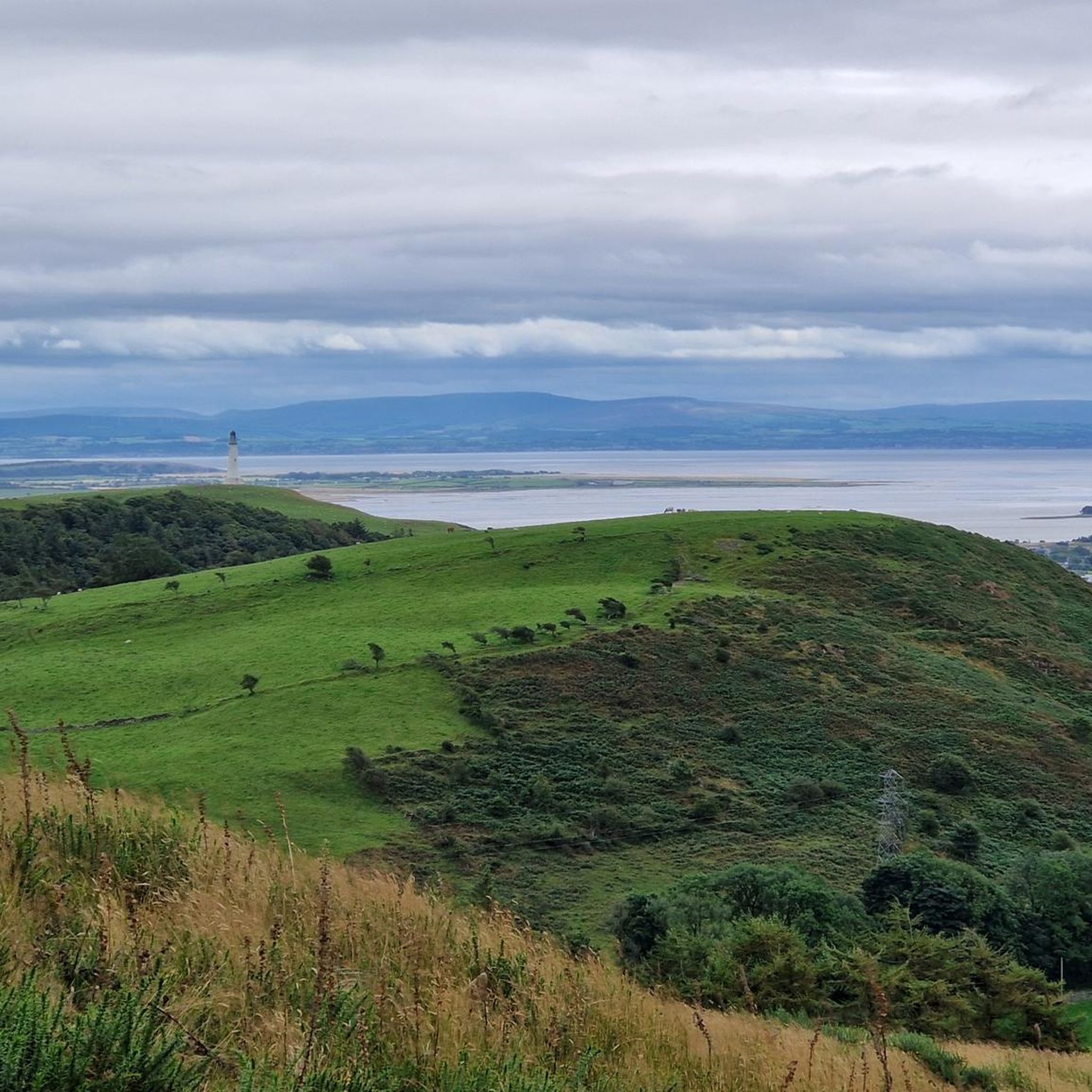
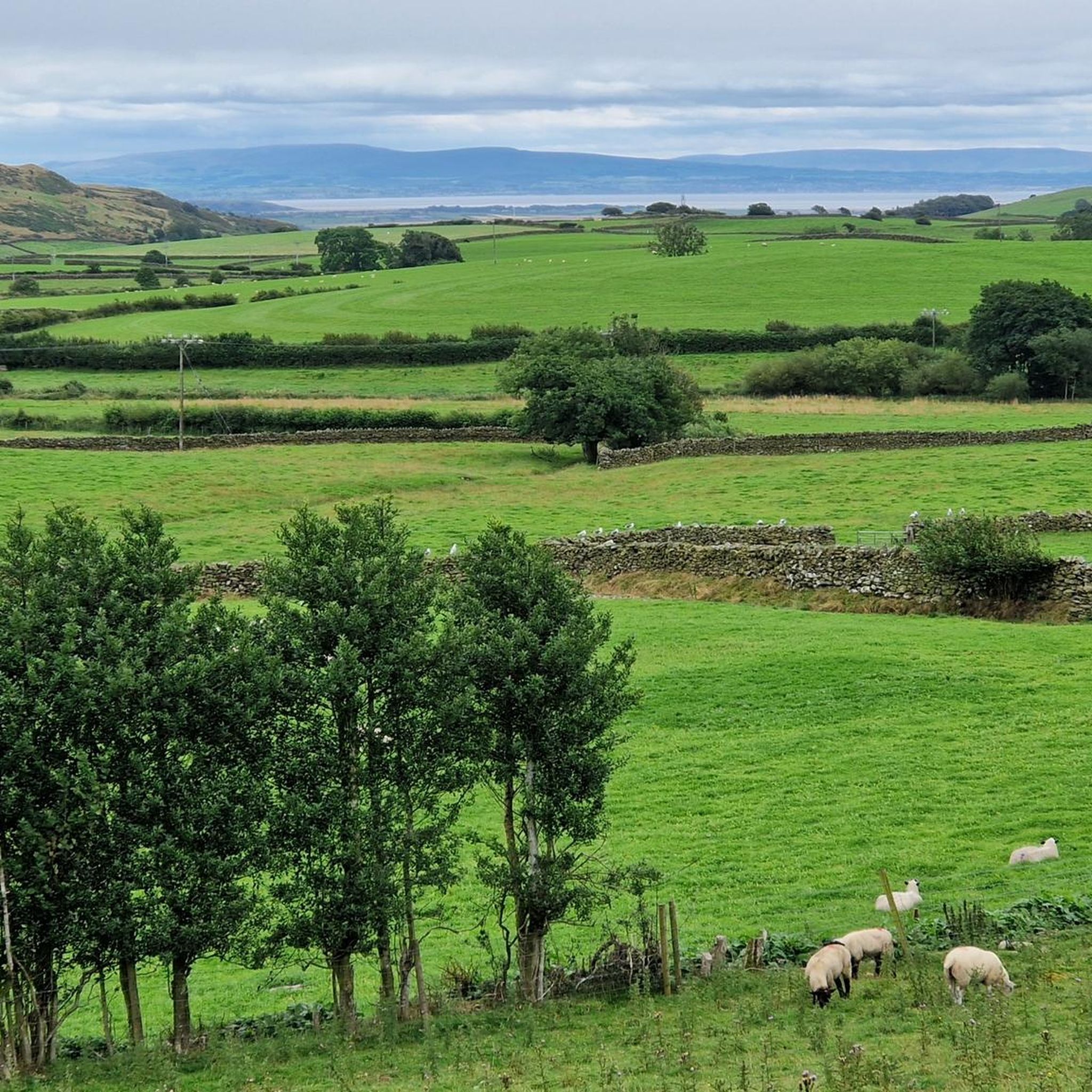
Tips from the Community

If the flags are flying (you can see them from booths car park) the hoad is open.
0
0

Installed in County Square in 2010 as part of the square's regeneration. The statue stands outside Coronation Hall where Laurel and Hardy appeared on the balcony in 1947. Stan Laurel was born in Ulverston on June 16th 1890.
0
0

A small free car park for about half a dozen cars..... and a pub, that looked very popular at lunch
1
0

Great place to stop for a coffee. Also great food. Inside and outside seating.
0
0


Birkrigg Common 136m P70 (446ft) (DoBIH Hill ID: 16273) [JNSA 22340] TP1387 - Birkrigg Common S5374 County of Lancashire Definitive List
0
0
Frequently Asked Questions
Where can I park in Osmotherley for a hike?
There is a car park at Cod Beck Reservoir, which is a convenient starting point for many trails. You can also find on-street parking within the village of Osmotherley itself, but it can be limited, especially on weekends. It's best to arrive early to secure a spot.
Are there any good family-friendly walks near Osmotherley?
Yes, the area around Cod Beck Reservoir offers a gentle, relatively flat path that is perfect for families with children. The scenery is beautiful, with woodland and water views, making it an engaging walk for all ages. The Scarth Wood Moor Loop is another good, shorter option.
Can I bring my dog on the trails around Osmotherley?
Most trails around Osmotherley are dog-friendly, but you'll be walking through moorland and farmland. It's important to keep your dog on a lead, especially during bird nesting season (typically March to July) and when livestock are present. Always follow local signage.
What long-distance trails pass through Osmotherley?
Osmotherley is a key point on several famous long-distance paths. The 109-mile Cleveland Way National Trail runs directly through the area. It's also a stop on Alfred Wainwright's iconic Coast to Coast Walk and the challenging 40-mile Lyke Wake Walk.
Are there any circular walks that include a pub?
Many circular routes start and end in Osmotherley village, which has several traditional pubs perfect for a post-hike meal or drink. You can plan a walk that loops back to the village, allowing you to easily visit one of the local establishments after your hike.
What is the terrain like on the Cleveland Way near Osmotherley?
The section of the Cleveland Way near Osmotherley offers varied terrain. You can expect classic North York Moors scenery, including steep climbs up onto the moorland escarpment, expansive heather moorland, and sheltered woodland paths. The views from the higher sections over the Vale of Mowbray are spectacular.
Are there any historical sites I can see on a walk?
Yes, the Mount Grace Priory Circular is a fantastic option. This route takes you past the ruins of the best-preserved Carthusian priory in Britain. You can also walk to The Lady Chapel, a 15th-century shrine on the hillside above the village, which offers panoramic views.
What are The Wainstones and can I walk there?
The Wainstones are a dramatic sandstone rock outcrop on Hasty Bank, popular with both hikers and climbers. They are a prominent feature along the Cleveland Way. A walk to The Wainstones involves a steep climb but rewards you with incredible views and the chance to scramble among the rocks.
How many hiking trails are there around Osmotherley?
There are over 300 hiking routes to explore around Osmotherley on komoot. They range from easy, short loops to challenging sections of national trails, covering the diverse landscapes of the North York Moors.
What do other hikers think of the trails in this area?
The trails around Osmotherley are highly regarded by the komoot community, with an average rating of 4.5 stars. Hikers often praise the stunning moorland views, the well-maintained paths through woodlands like Arncliffe Wood, and the variety of routes available.
What is the best viewpoint for panoramic scenery?
For some of the best panoramic views, head up to Scarth Wood Moor. From the top, you get sweeping vistas across the Vale of Mowbray towards the Yorkshire Dales. The crest of the Cleveland Hills, including Carlton Bank and the area around The Wainstones, also offers breathtaking scenery.
Most popular attractions around Osmotherley

Get inspired with the komoot mobile app


Explore more
Browse the best Hikes in other regions.
