The 20 Most Amazing Peaks around Mallerstang
Best mountain peaks around Mallerstang are found in a secluded dale within the upper Eden Valley. This region is characterized by high fells and routes that often follow the River Eden. Notable features include distinctive escarpments, expansive upland plains, and plateaus offering wide-ranging views. The area provides a wilderness experience with varied terrain.
Best mountain peaks around Mallerstang
- The most popular mountain peaks is The Calf Summit (Howgill Fells), a trail that is the highest point of the Howgill…
Last updated: August 13, 2026
The Calf Summit (Howgill Fells)
Highlight • Trail
Tip by

Nine Standards
Highlight • Monument
Tip by

Sign up now to discover places like this
Get recommendations on the best single tracks, peaks, & plenty of other exciting outdoor places.
Sign up for free
Wild Boar Fell Summit Shelter
Highlight • Viewpoint
Tip by

Great Shunner Fell Summit
Highlight • Natural Monument
Tip by
Calders Summit
Highlight • Viewpoint
Tip by

Sign up for free to discover even more peaks around Mallerstang.
Sign up for free
Already have an account?
Start today with a free account
Your next adventure awaits.
Login or Signup
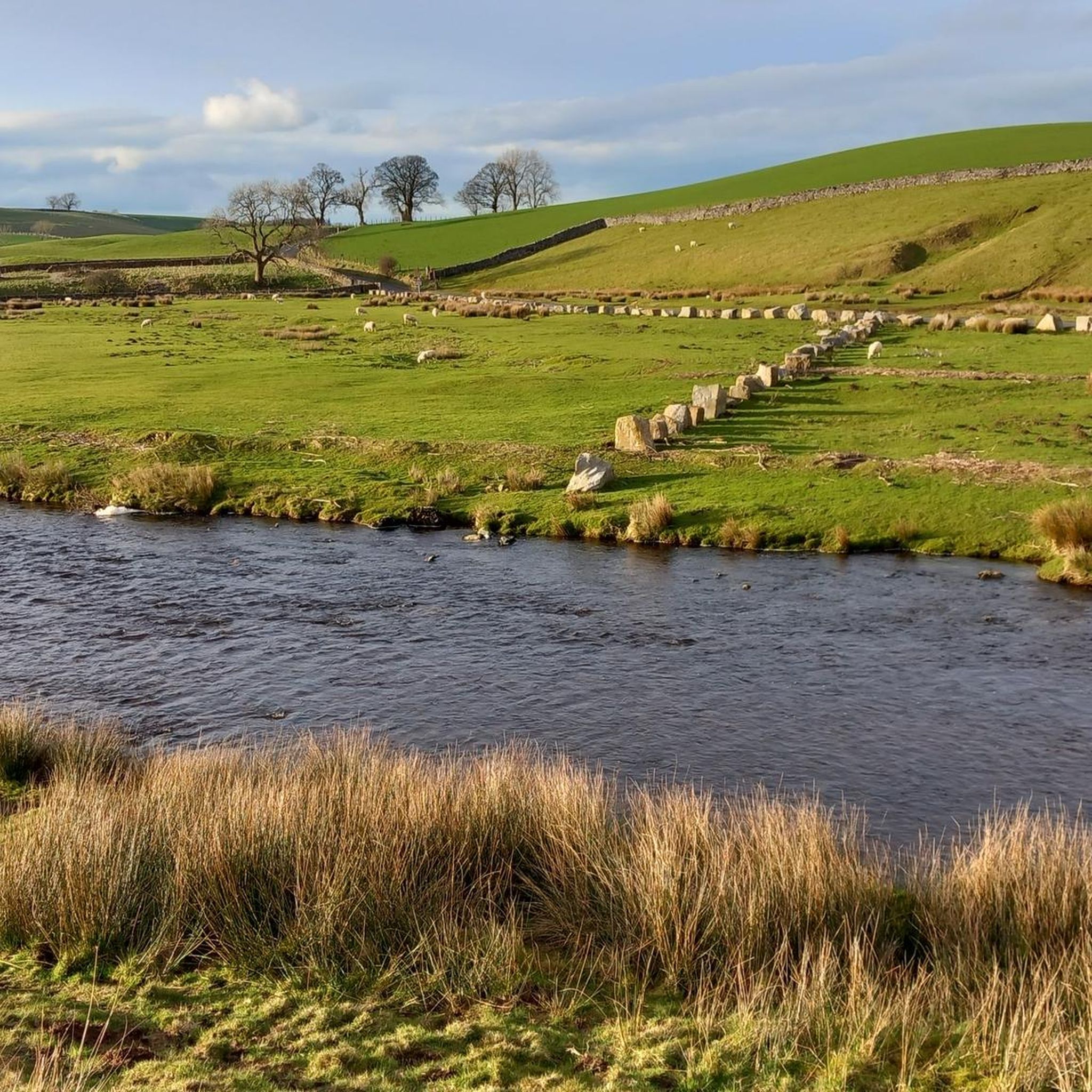
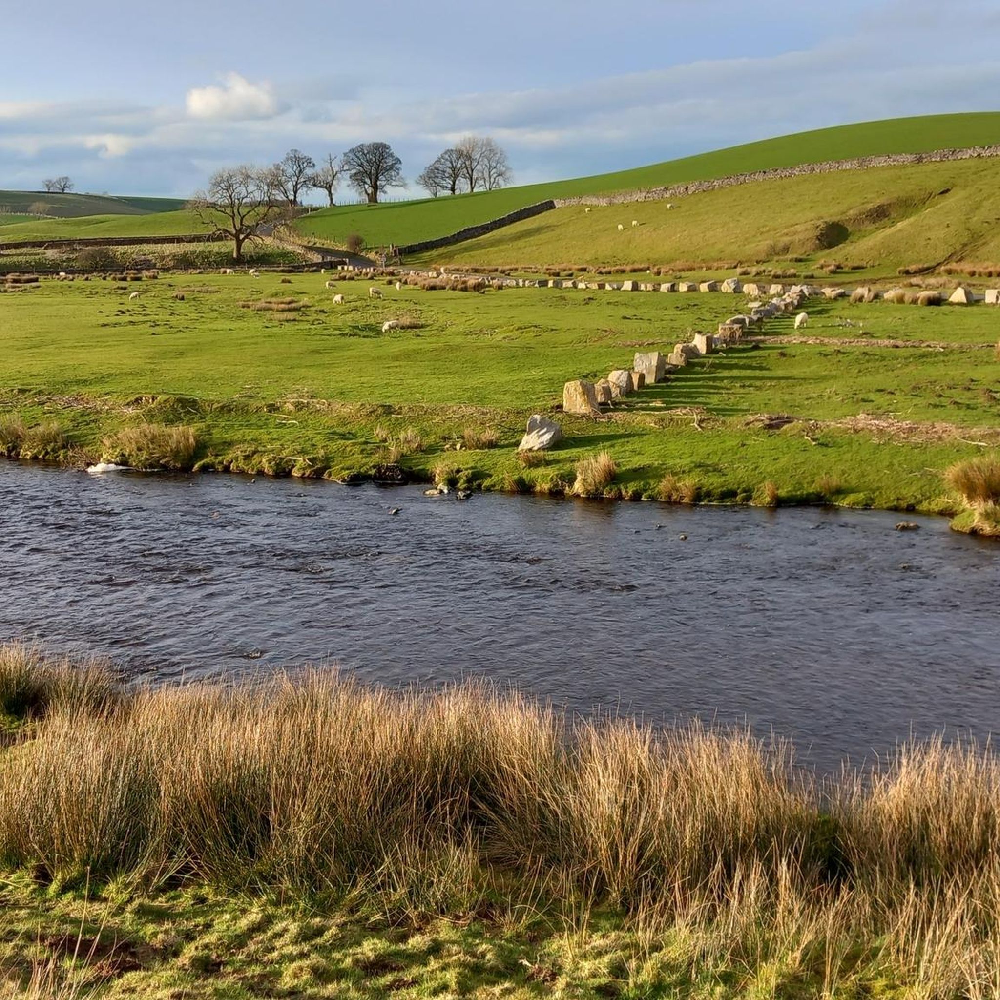
Other adventures around Mallerstang

Tips from the Community

Highest point along the Herriot Way. Expect bog and bad weather 😂
0
0

Great Shunner Fell is a good little workout coming up from Thwaite, about 5.5 kilometres one way, so quite a bit shorter than coming up from Hawes. I wish I could say the views are great, but the cloud was in today on my hike. It was a great day out though, and I met some great people on the hill from all over the world.
2
0
This is actually the location of the topographic cairn, which is a really good view point out over the surrounding Dales, and of the Nine Standards, which sit nearby to the north within a few hundred metres. A bit further to the south is the actual summit point of Nine Standards Rigg itself, which is marked by a trig point.
1
1
Nearby to the true summit is a quaint trig pointed marker with some seating.
1
0
This is a lovely broad summit, and one of the nicest trig pointed tops out there. To come here on a nice day is a lovely experience. The summit is set back quite a bit from the escarpment, so there is not much of a view from there, but there is a nice seat to park your butt on for a while.
0
0


The Calf 676m P383 (2218ft) TP6361 - The Calf S5676 County of Yorkshire Definitive List Yorkshire Dales NP Definitive List County of Yorkshire Trig Pillar
0
0
Calders 675.4m P34.2 (2216ft) County of Yorkshire Definitive List Yorkshire Dales NP Definitive List
0
0
Frequently Asked Questions
What are some of the most popular mountain peaks and landmarks to visit around Mallerstang?
The Mallerstang area offers several notable peaks and features. Among the most popular are The Calf Summit (Howgill Fells), known for its panoramic views including the Yorkshire Three Peaks and Lake District. Another unique spot is Nine Standards, a mysterious collection of cairns offering superb views over Kirkby Stephen. Calders Summit in the Howgill range is also highly regarded for its challenging navigation and fantastic panoramas.
What are the main mountain peaks in the Mallerstang Valley itself?
The Mallerstang Valley is dominated by several prominent fells. On the western side, you'll find Wild Boar Fell (708m), known for its distinctive profile and dramatic escarpment. Alongside it is Swarth Fell (681m), offering expansive upland plains. Forming the eastern boundary of the valley is High Seat (709m), which provides extensive views across the Vale of Eden and beyond.
Are there challenging hiking routes available for experienced walkers?
Yes, many of the fell walks in Mallerstang require a good level of fitness and navigation skills. Peaks like High Seat offer a true wilderness experience with largely pathless plateaus. The Howgill Fells, including Calders Summit, are known for their featureless terrain, providing a significant navigation challenge. You can find challenging hiking routes in the area, such as the "High Seat and Hellgill Force loop from The Thrang" or the "Wild Boar Fell Summit Shelter – View of the Vale of Eden loop from Aisgill", both listed in the Hiking around Mallerstang guide.
What kind of views can I expect from the mountain peaks in Mallerstang?
The mountain peaks in Mallerstang offer breathtaking and expansive views. From Wild Boar Fell, you can enjoy sweeping vistas of the Mallerstang valley and, on clear days, see the distant Pennines and Lake District fells. High Seat, being the highest point of Mallerstang Edge, provides astonishing views across the Vale of Eden towards Penrith and even glimpses of the Vale of York. The Calf Summit offers panoramas that include the Yorkshire Three Peaks and the Lake District skyline.
Are there any historical or cultural landmarks on the peaks?
Yes, the region has some interesting historical features. The mysterious Nine Standards cairns, whose origin is unknown, are a notable man-made monument on a fell. On the summit of Hugh Seat, a pillar erected by Lady Anne Clifford in 1664 commemorates Hugh de Morville, adding a historical touch to the landscape.
What outdoor activities, besides hiking, can I do near the Mallerstang peaks?
Beyond hiking, the area around Mallerstang offers excellent opportunities for cycling. You can explore various routes for road cycling, such as the "Etape du dales north loop" or the "Lamps Moss Summit – Lamps Moss Climb loop from Kirkby Stephen", detailed in the Road Cycling Routes around Mallerstang guide. For touring cyclists, routes like the "Pendragon Castle ruins – Ravenstonedale Open Road loop from Kirkby Stephen" are available in the Cycling around Mallerstang guide.
What is the best time of year to visit the Mallerstang mountain peaks?
The Mallerstang peaks can be visited year-round, but the best time largely depends on your preferred activity and weather tolerance. Spring and summer offer milder weather and longer daylight hours, ideal for hiking and enjoying the views. Autumn brings beautiful colors to the landscape. However, be prepared for potentially boggy sections after rain, which are common. Winter hiking is possible but requires appropriate gear and navigation skills due to colder temperatures and potential snow.
Are the mountain peaks around Mallerstang suitable for families or those looking for easier walks?
While many fell walks require good fitness, there are options for varying abilities. The region's routes often follow the River Eden, which can offer more gentle sections. For specific family-friendly or easier mountain walks, it's best to consult detailed route descriptions, as some popular trails, like those to Nine Standards, can involve marshy terrain and are better suited for intermediates.
What should I know about navigation and terrain when hiking in Mallerstang?
The terrain in Mallerstang is characterized by high fells, distinctive escarpments, and expansive upland plains. Many areas, particularly plateaus leading to summits like High Seat, are largely pathless, requiring good navigation skills. Boggy sections are common, especially after rain, so appropriate footwear is essential. The Howgill Fells, including Calders Summit, are known for their featureless terrain, making map and compass skills crucial.
Where can I find parking or public transport options for accessing the mountain trails?
Access to the Mallerstang Valley and its trails often involves reaching smaller villages or specific starting points. While specific parking details for every trailhead are not provided here, Kirkby Stephen is a nearby town that serves as a hub for amenities and potential transport links. For detailed information on parking and public transport to specific trailheads, it's advisable to check local resources or the starting points of individual routes.
What do visitors particularly enjoy about the mountain peaks in Mallerstang?
Visitors frequently praise the stunning, expansive views from the summits, such as those from Wild Boar Fell Summit Shelter, which offers glorious panoramas of the Howgill Fells and surrounding settlements. The sense of wilderness and solitude, especially on less-visited fells like Swarth Fell and the pathless areas of High Seat, is also a major draw. The challenging navigation and unique natural features, like the distinctive scars of Wild Boar Fell, contribute to a rewarding outdoor experience.
Are there any amenities like cafes or pubs near the mountain trails?
While the Mallerstang Valley itself is quite secluded, nearby towns like Kirkby Stephen offer amenities such as cafes, pubs, and accommodation. Some longer cycling routes, like the "Tan Hill Inn – Lamps Moss Climb loop from Kirkby Stephen" in the Cycling around Mallerstang guide, might pass by establishments like the Tan Hill Inn, which is a famous high-altitude pub. It's always a good idea to plan your route and check opening times for any amenities you intend to visit.
Most popular attractions around Mallerstang

Get inspired with the komoot mobile app


Explore more
See even more amazing summits around Mallerstang with these guides:
