The best cycling routes around Waterhead
4.2
(37)
422
riders
54
rides
Touring cycling around Waterhead features routes that traverse varied landscapes, including coastal sections, historical Roman sites, and open countryside. The region's terrain includes both flatter stretches and areas with significant elevation gain, offering diverse challenges for touring cyclists. Routes often follow historical paths and connect rural communities.
Best touring cycling routes around Waterhead
- The most popular touring cycling route is Burgh Marsh – Scenic Coastal Section loop from Brampton, a 53.2 miles (85.6 km) trail that takes 5 hours…
Last updated: June 26, 2026
4.8
(4)
51
riders
85.6km
05:06
500m
500m
Hard bike ride. Very good fitness required. Mostly paved surfaces. Suitable for all skill levels.
4.5
(2)
21
riders
47.3km
03:01
510m
520m
Hard bike ride. Very good fitness required. Mostly paved surfaces. Suitable for all skill levels.

Sign up for free
17
riders
54.4km
03:59
630m
630m
Hard bike ride. Very good fitness required. Mostly paved surfaces. Suitable for all skill levels.
4.8
(4)
20
riders
91.3km
06:00
1,160m
1,160m
Hard bike ride. Very good fitness required. Mostly paved surfaces. Suitable for all skill levels.
2.7
(3)
11
riders
Moderate bike ride. Good fitness required. Mostly paved surfaces. Suitable for all skill levels.
Get access to more routes and recommendations from other explorers.
Sign up for free
Already have an account?
Our route recommendations are based on thousands of hikes, rides, and runs completed by other people on komoot.
Start today with a free account
Your next adventure awaits.
Login or Signup
Tips from the Community


Well, we got here nearly at the end of our Hadrian's Wall hike for the day and had a bit of bad luck. Fancy turning up at one of the best Roman forts on Hadrian's Wall to be told it was closed because the wind was too strong and it might blow us off the wall. A place to come back to.
0
0
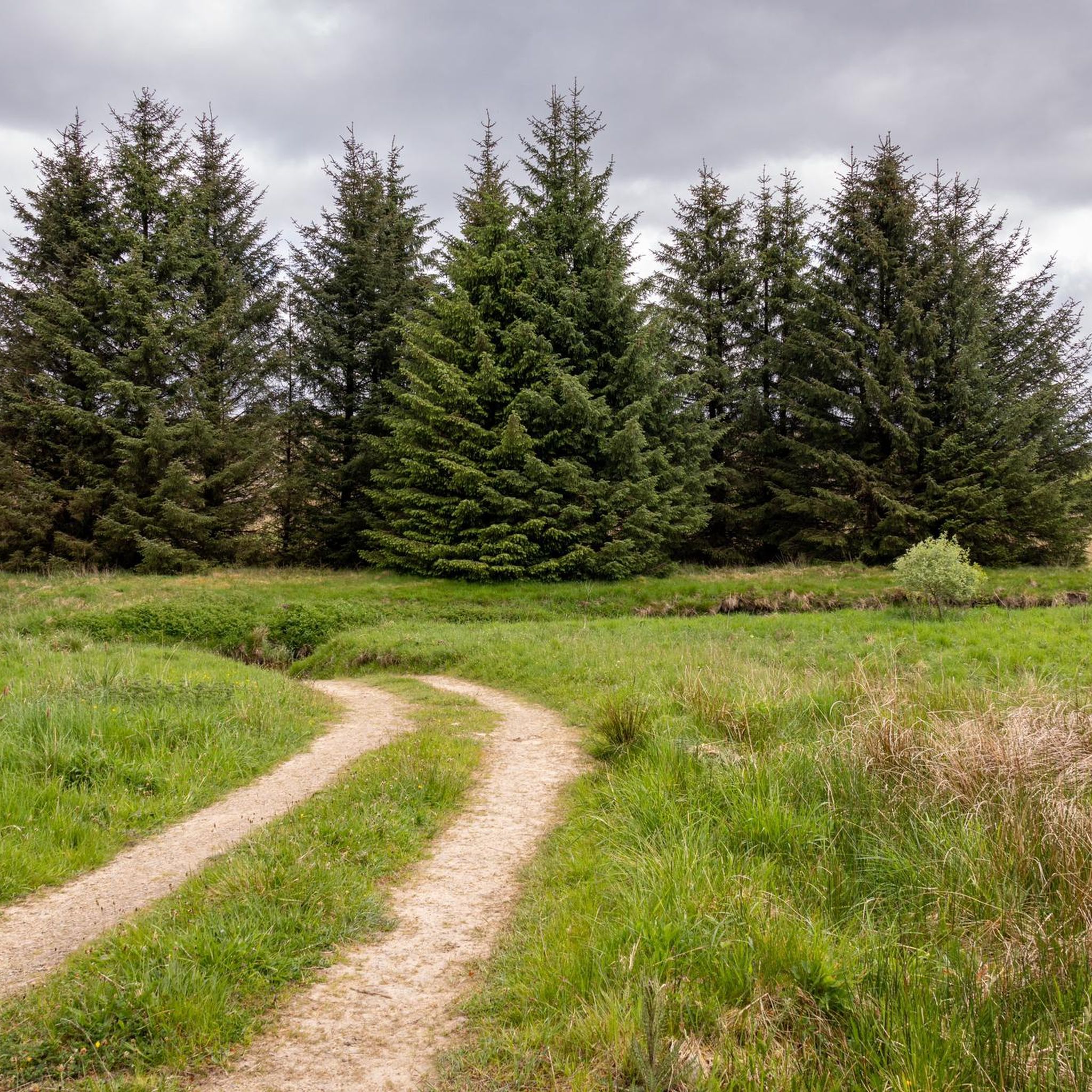
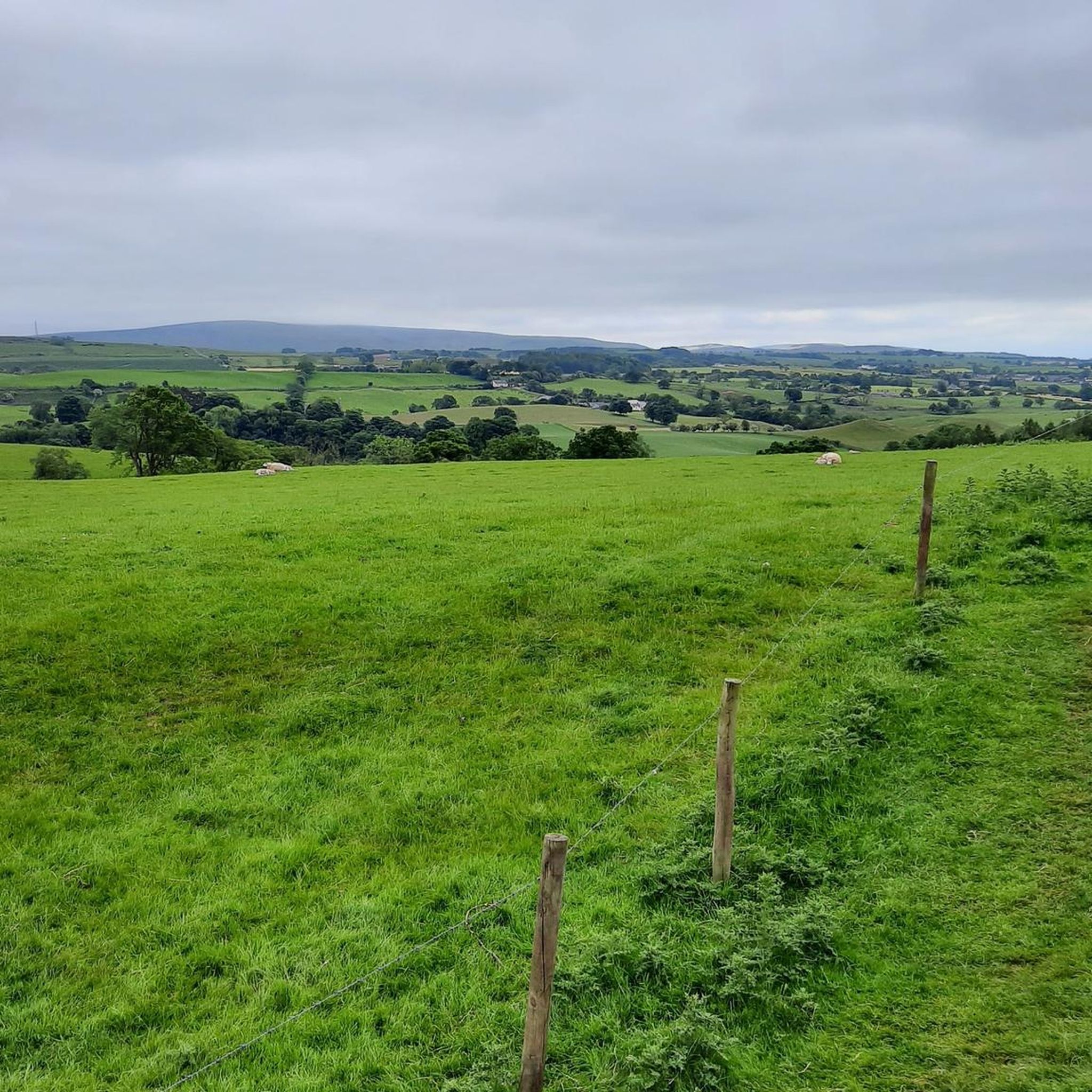
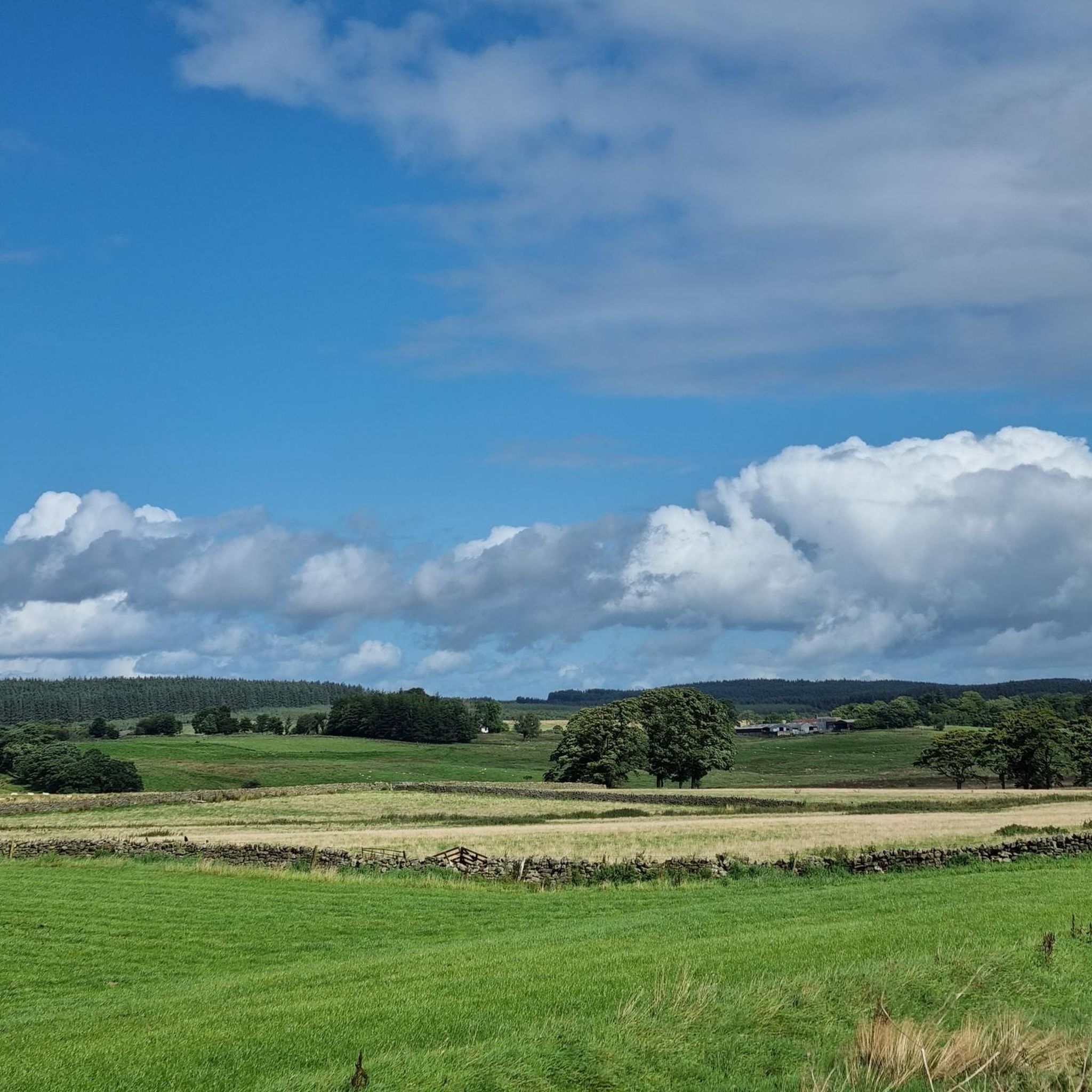
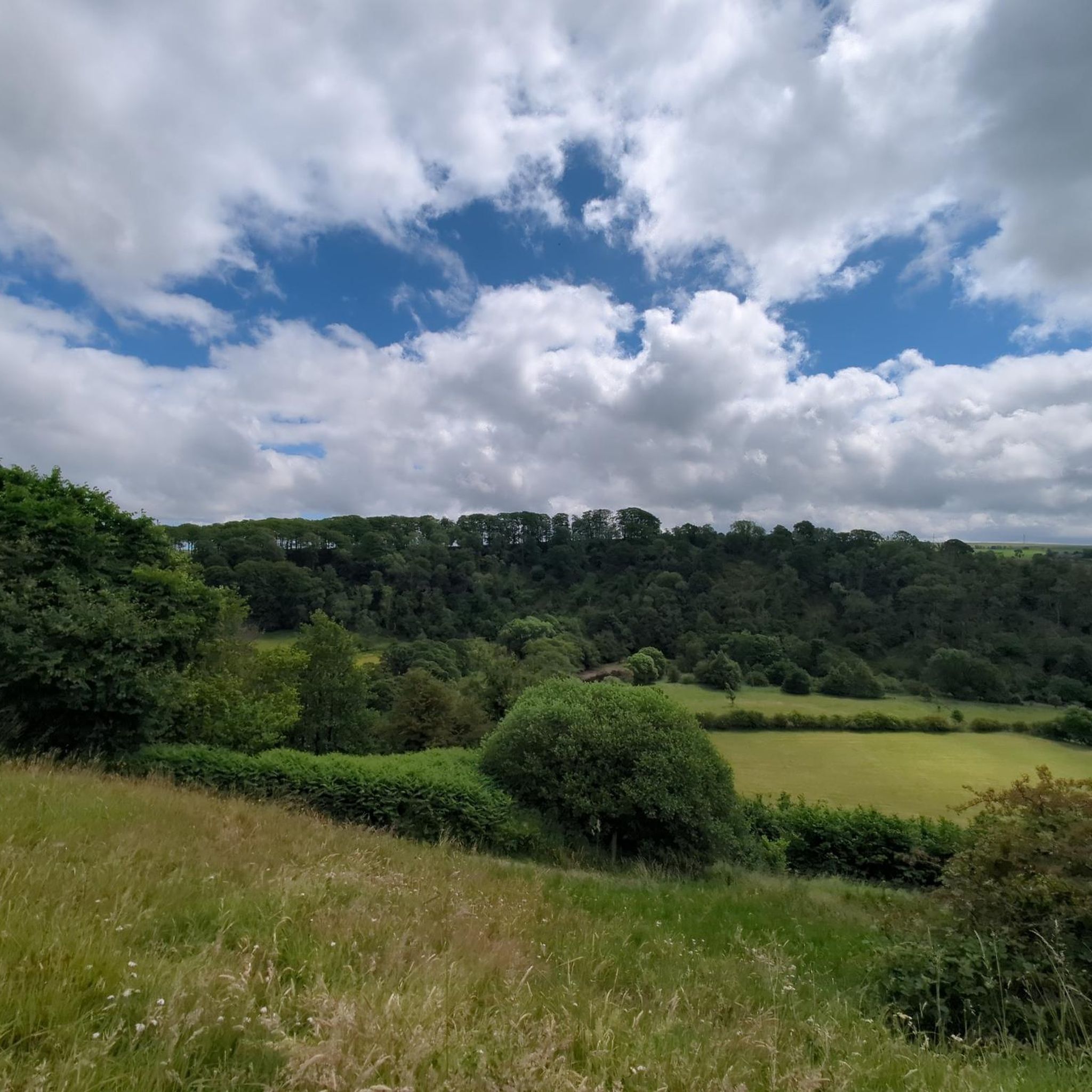
One thing about the road between Bowness-on-Solway and Carlisle is that it's as flat as a pancake, and Burgh Marsh is no exception. It is a great cycling stretch of road with good views out over the Solway Estuary.
0
0
This is the place where one of the most formidable English monarchs died when he developed fever during a campaign against the Scots in 1307. This is where Edward the First died, and being an iconic historical figure, this small, quaint monument was erected in his honour in 2007.
0
0
This historic and interesting harbour area in Port Carlisle is a great place to watch birds. In the autumn and springtime you can see a variety of bird flocks migrate, whilst wildfowl and waders flock here from Arctic breeding grounds to escape extreme cold.
0
0

Cawfields Crag is a steep rock face that forms a natural bastion in the landscape and was a strategic point for the Romans. Near Milecastle 42, the northern gate of the fort literally opens onto the vertical face of Cawfields Crag – a testament to the rigid Roman building principles. From the summit, there are panoramic views of Hole Gap and the surrounding hills.
8
0
Cawfields Crag is a steep rock face that forms a natural bastion in the landscape and was a strategic point for the Romans. Near Milecastle 42, the northern gate of the fort literally opens onto the vertical face of Cawfields Crag – a testament to the rigid Roman building principles. From the summit, there are panoramic views of Hole Gap and the surrounding hills.
2
0
Along Lanercost Road near Banks in Cumbria, you'll find the well-preserved remains of Leahill Turret (51B), a Roman watchtower built around 122 AD as part of Hadrian's Wall. The tower was fully excavated and consolidated in 1958 and is still visible today to a height of approximately one meter. Leahill Turret served as a staging post between Milecastles 51 and 52, providing Roman soldiers with a strategic vantage point over the northern border region. Inside, traces of a raised platform against the north wall and a later shelter structure against the south wall are visible, suggesting reuse in the 4th century.
11
0
Frequently Asked Questions
How many touring cycling routes are available around Waterhead?
There are over 50 touring cycling routes around Waterhead, offering a wide range of options for different skill levels and preferences. The region features routes that traverse varied landscapes, including coastal sections, historical Roman sites, and open countryside.
Are there easy touring cycling routes suitable for beginners in Waterhead?
Yes, Waterhead offers a few easier touring cycling routes. While many routes involve significant elevation, there are 4 routes classified as easy. These typically follow flatter stretches, making them suitable for beginners or those looking for a more relaxed ride.
What are some challenging touring cycling routes for experienced riders in Waterhead?
For experienced touring cyclists seeking a challenge, Waterhead has 25 routes classified as difficult. A notable option is the Hadrian's Wall – Lanercost Priory loop from Brampton, which covers over 91 km with significant elevation gain, offering a demanding ride through historical landscapes.
Are there any circular touring cycling routes in Waterhead?
Many of the touring cycling routes around Waterhead are circular, allowing you to start and end at the same point. For example, the popular Burgh Marsh – Scenic Coastal Section loop from Brampton is a circular route that takes you along the coast and back.
What historical sites or landmarks can I see along the touring cycling routes?
Waterhead's touring cycling routes are rich in history, often following historical paths and passing significant landmarks. You can explore sites like Hadrian's Wall, Lanercost Priory, and Thirlwall Castle Ruins. The Lanercost Priory – Hadrian's Wall loop from Gilsland is an excellent route for historical exploration.
Are there any scenic viewpoints or natural attractions along the routes?
Yes, the region offers numerous scenic viewpoints and natural attractions. You can find beautiful spots like Cawfields Quarry and Hadrian's Wall, Talkin Tarn Lake, and the Lambley Viaduct. Many routes, such as the Burgh Marsh – Scenic Coastal Section loop from Brampton, offer picturesque coastal views.
What is the best time of year for touring cycling in Waterhead?
The best time for touring cycling in Waterhead is generally from spring to autumn (April to October) when the weather is milder and daylight hours are longer. This period offers the most pleasant conditions for exploring both the coastal sections and the open countryside.
Are there options for family-friendly touring cycling in Waterhead?
While many routes in Waterhead are moderate to difficult, there are easier sections and routes that can be suitable for families, especially those with some cycling experience. Look for routes with less elevation gain and shorter distances, often found along flatter, dedicated paths or quiet country roads.
Where can I find parking for touring cycling routes in Waterhead?
Many touring cycling routes in Waterhead start from towns and villages like Brampton or Gilsland, where public parking facilities are often available. It's advisable to check local council websites or specific route descriptions for detailed parking information near your chosen starting point.
Can I reach touring cycling routes in Waterhead using public transport?
Public transport options, including local bus services, connect various towns and villages in the Waterhead area. Some routes may be accessible from train stations in nearby larger towns. It's recommended to check local bus and train schedules in advance to plan your journey, especially if you intend to bring your bicycle.
What do other touring cyclists enjoy most about the routes in Waterhead?
The touring cycling routes in Waterhead are highly rated by the komoot community, with an average score of 3.88 stars from over 26 reviews. Cyclists often praise the region's rich historical context, particularly the sections along Hadrian's Wall, and the diverse landscapes ranging from scenic coastal paths to rolling rural countryside.
Are there any touring cycling routes that include pub stops or refreshment points?
Many touring cycling routes in Waterhead pass through or near charming villages and towns where you can find pubs, cafes, and other refreshment stops. Routes that connect rural communities, such as the Moot Hall, Brampton – Hadrian Statue loop from Brampton, often offer opportunities to pause and refuel.
Most popular attractions around Waterhead

Get inspired with the komoot mobile app


Explore more
Browse the best Cycling routes in other regions.
