The best walks and hikes around Arthuret
4.3
(186)
1,615
hikers
69
hikes
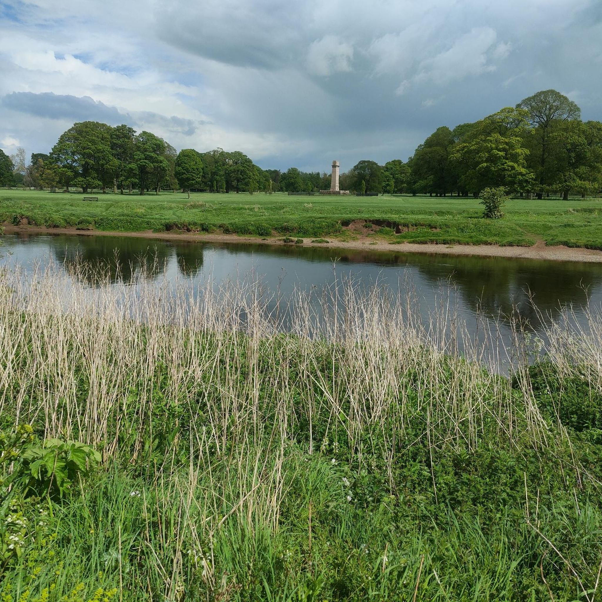
Hiking trails around Arthuret are characterized by a blend of rural environments, including riverside paths along the River Esk, expansive moorlands, and agricultural farmlands. The region features diverse terrain, from open fields to wooded sections, offering varied experiences for outdoor enthusiasts. Elevations are generally low, with routes traversing gentle gradients across the landscape.
Best hiking trails around Arthuret
- The most popular hiking route is Church of St Nicholas and The Dixon Stone loop from Penton Bridge — Roxburghshire, a…
Last updated: August 18, 2026
3.0
(1)
2
hikers
Hard hike. Very good fitness required. Easily-accessible paths. Suitable for all skill levels.
4.0
(3)
12
hikers
4.18km
01:05
20m
20m
Easy hike. Great for any fitness level. Easily-accessible paths. Suitable for all skill levels.

Sign up for free
13
hikers
Easy hike. Great for any fitness level. Easily-accessible paths. Suitable for all skill levels.
5.0
(1)
5
hikers
8.48km
02:09
20m
20m
Moderate hike. Good fitness required. Easily-accessible paths. Suitable for all skill levels.
6
hikers
5.56km
01:26
30m
30m
Easy hike. Great for any fitness level. Easily-accessible paths. Suitable for all skill levels.
Get access to more routes and recommendations from other explorers.
Sign up for free
Already have an account?
Our route recommendations are based on thousands of hikes, rides, and runs completed by other people on komoot.
Start today with a free account
Your next adventure awaits.
Login or Signup
Popular around Arthuret

Tips from the Community

Nice place to have a toilet and refreshment stop. Popular with coach trips
0
0

The shop offers a large selection of Scottish gifts, including fudge and whisky.
0
0
The Big Dance sculpture was created by artist Ray Lonsdale. It is the centerpiece of the Sculpture Garden at the Famous Blacksmiths Shop complex.
0
0

Rockcliffe is a picturesque village situated on the Solway Firth at the confluence of the Eden and Esk rivers. The village takes its name from the Old Norse raudhr klimpel—"red cliff"—and offers a blend of nature, heritage, and tranquility. Along the Rockcliffe Marsh (SSSI status), you can spot migratory birds such as geese and waders and enjoy views over the estuary. In the center stands St. Mary's Church, with a 10th-century Norse cross and a ship's weathervane as a reminder of its maritime past. Rockcliffe also has a village school, a cricket club, a community center, and the welcoming pub, The Crown and Thistle.
8
0

"The Solway Firth is an estuary where the rivers Eden and Esk meet before flowing into the sea. The area is designated as an Area of Outstanding Natural Beauty and is home to some rare species and is known for its wide expanses of mud and sand flats." Source: https://edenriverstrust.org.uk/your-eden/amazing-places/solway-firth
0
0
The Gretna Inn is a restaurant, bar and hotel in the town centre, only a 2-minute walk from the Gretna Gateway Outlet shopping centre. Food is served daily from 12pm to 8:30pm; lunchtime light bites like sandwiches and paninis are available Monday to Saturday from 12pm to 2.30pm. Probably needless to say that they also have a large selection of beers and soft drinks 😜.
0
0
"A 13-FOOT-TALL sculpture of two clasped hands is set to be one of the most photographed in the region. Created by County Durham artist Ray Lonsdale from weathering steel – the same material as the Angel of the North – The Big Dance has been moved into place in the sculpture garden at the World Famous Blacksmith Shop in Gretna Green.". Source: https://www.dailyrecord.co.uk/news/local-news/big-dance-sculpture-installed-gretna-2596718
0
0

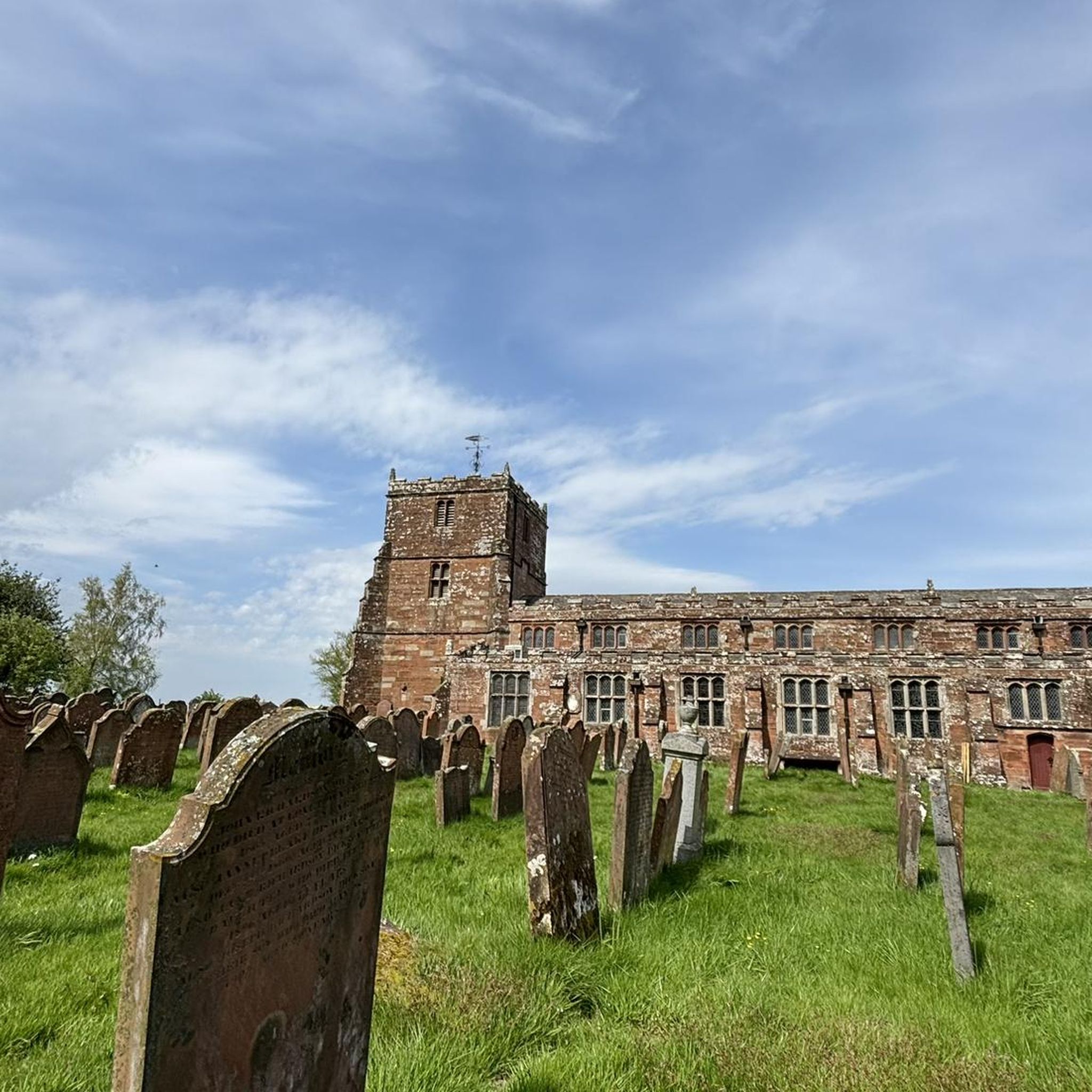
Saint NICHOLAS, Bishop of Myra, to whom this church is dedicated, is – alongside Saint Martin, Bishop of Tours in France – one of the most popular saints of all. His memorial day in the calendar of saints, December 6th, is probably known to almost every child. On the eve of this day, children used to put their shoes or boots – which had of course been carefully polished – in front of the door so that Saint Nicholas could fill them with gifts during the night. In more agricultural areas, it was also customary for children to put out a small gift of food for the donkey, Saint Nicholas's mount (according to another tradition, it was a white horse).
0
0
Frequently Asked Questions
What types of hiking trails can I expect in Arthuret?
Hiking trails around Arthuret offer a diverse blend of rural environments. You'll find picturesque riverside paths along the River Esk, expansive moorlands, and agricultural farmlands. The terrain varies from open fields to wooded sections, providing a range of experiences for all outdoor enthusiasts. Elevations are generally low, with routes traversing gentle gradients.
Are there many hiking routes available in Arthuret?
Yes, Arthuret offers a good selection of hiking routes. There are over 70 routes recorded on komoot, catering to various preferences. This includes over 40 easy trails, more than 20 moderate options, and a few challenging routes for experienced hikers.
What are some natural features or landmarks I can see while hiking in Arthuret?
Arthuret's landscape is rich in natural beauty and historical sites. You can enjoy the tranquil
River Esk, known for its clear waters and wildlife. The area also features diverse woodlands and open moorlands. Historically, you might encounter sites like Arthuret's Church (St Michael and All Angels), an ancient Gothic-styled church, and the nearby St Michael's Well. For other notable attractions in the wider area, consider visiting St Michael's Church, Burgh by Sands, Carlisle Cathedral, or Carlisle Castle.
Are there any easy, family-friendly walks in Arthuret?
Absolutely. Arthuret has many easy routes suitable for families. A great option is the River Esk Riverside Walk loop from Gretna, an easy 4.2 km path that follows the river, offering tranquil views. Another easy and interesting walk is The Big Dance Sculpture – Gretna Green Anvil Monument loop from Gretna, which is 3.9 km and leads through local landmarks.
Can I find circular hiking routes in Arthuret?
Yes, many of the trails in Arthuret are circular, allowing you to start and end at the same point. For example, the Rockcliffe Village loop from Rockcliffe is a moderate 8.5 km circular route. The Church of St Nicholas and The Dixon Stone loop from Penton Bridge is a longer, more challenging circular option at 23.1 km.
What is the best time of year to go hiking in Arthuret?
Arthuret offers enjoyable hiking throughout the year, but each season has its charm. Spring and summer bring lush greenery and warmer weather, ideal for riverside walks and wildlife spotting. Late summer into autumn is excellent for foraging wild fruits like blackberries and raspberries in the hedgerows. Be aware that riverside paths can become muddy or flood after heavy rain, especially in wetter seasons, so sturdy, waterproof footwear is always advisable.
What kind of wildlife might I see on the trails?
Arthuret is a haven for wildlife. Birdwatchers can spot wading birds and wildfowl, particularly in areas like Oakbank Country Park near Longtown or Longtown Gravel Pits, which is a Cumbria County Wildlife Site. Otters are also known to frequent the main ponds. In wooded sections, you might catch a glimpse of red squirrels. The River Esk is home to salmon and sea trout.
Are there any challenging long-distance hikes in the area?
While many routes are shorter, there are options for longer, more challenging hikes. The Church of St Nicholas and The Dixon Stone loop from Penton Bridge is a difficult 23.1 km trail with significant elevation gain, offering a substantial day out for experienced hikers.
What do other hikers say about the trails in Arthuret?
The hiking routes in Arthuret are highly regarded by the komoot community, with an average score of 4.1 stars from over 160 reviews. Hikers often praise the tranquil riverside paths, the diverse rural scenery, and the sense of openness found in the moorlands and farmlands. Over 1500 hikers have used komoot to explore Arthuret's varied terrain.
Are there places to eat or drink near the hiking trails in Arthuret?
The planned 18th-century town of Longtown serves as an excellent starting point for many walks and offers local amenities. While specific cafes or pubs directly on trails aren't listed, Longtown provides options for refreshments before or after your hike. For more information on local services, you might find details on Visit Lake District or Visit Cumbria.
Is Arthuret a good place for dog-friendly walks?
Arthuret's rural landscape, with its open fields, moorlands, and riverside paths, generally offers many opportunities for dog-friendly walks. Always ensure your dog is under control, especially near livestock or wildlife, and follow local signage regarding lead requirements. Many of the less strenuous routes, such as the various riverside loops, are ideal for walking with dogs.
Where can I park when visiting Arthuret for a hike?
While specific parking locations for individual trailheads are not detailed, the town of Longtown is a central hub for the area and a good starting point for many walks. It's advisable to check local maps or route descriptions for designated parking areas near your chosen trail. Public transport options are limited, so driving is often the most convenient way to access the trails.
Most popular attractions around Arthuret

Get inspired with the komoot mobile app


Explore more
Browse the best Hikes in other regions.
