The best running trails around Wrose
4.4
(144)
23,587
runners
864
runs
Jogging around Wrose offers access to a network of varied running routes. The area is characterized by its proximity to the River Aire and canal paths, providing flat and riverside trails. While Wrose itself features some local elevation, many routes connect to the wider landscape, including the Saltaire World Heritage Site. The terrain includes a mix of paved surfaces and natural paths, catering to different running preferences.
Best jogging routes around Wrose
- The most popular jogging route is Newlay Lock…
Last updated: October 8, 2026
406
runners
33.6km
03:35
160m
160m
Hard run. Very good fitness required. Mostly paved surfaces. Suitable for all skill levels.
93
runners
11.7km
01:13
70m
70m
Moderate run. Good fitness required. Mostly paved surfaces. Suitable for all skill levels.

5.0
(1)
111
runners
11.7km
01:13
50m
50m
Moderate run. Good fitness required. Mostly paved surfaces. Suitable for all skill levels.
5.0
(1)
39
runners
11.5km
01:14
140m
140m
Moderate run. Good fitness required. Mostly paved surfaces. Suitable for all skill levels.
4.0
(1)
34
runners
Moderate run. Good fitness required. Mostly paved surfaces. Suitable for all skill levels.
Get access to more routes and recommendations from other explorers.
Already have an account?
Our route recommendations are based on thousands of hikes, rides, and runs completed by other people on komoot.
Start today with a free account
Your next adventure awaits.

Tips from the Community

Lovely village walk, plenty of places you can extend your walk. Free parking in salts school car park outside school hours and during school holidays
0
0

Start at Calverley Bridge, follow the broad, paved canal towpath west towards Apperley Bridge, and return the same way.
0
0
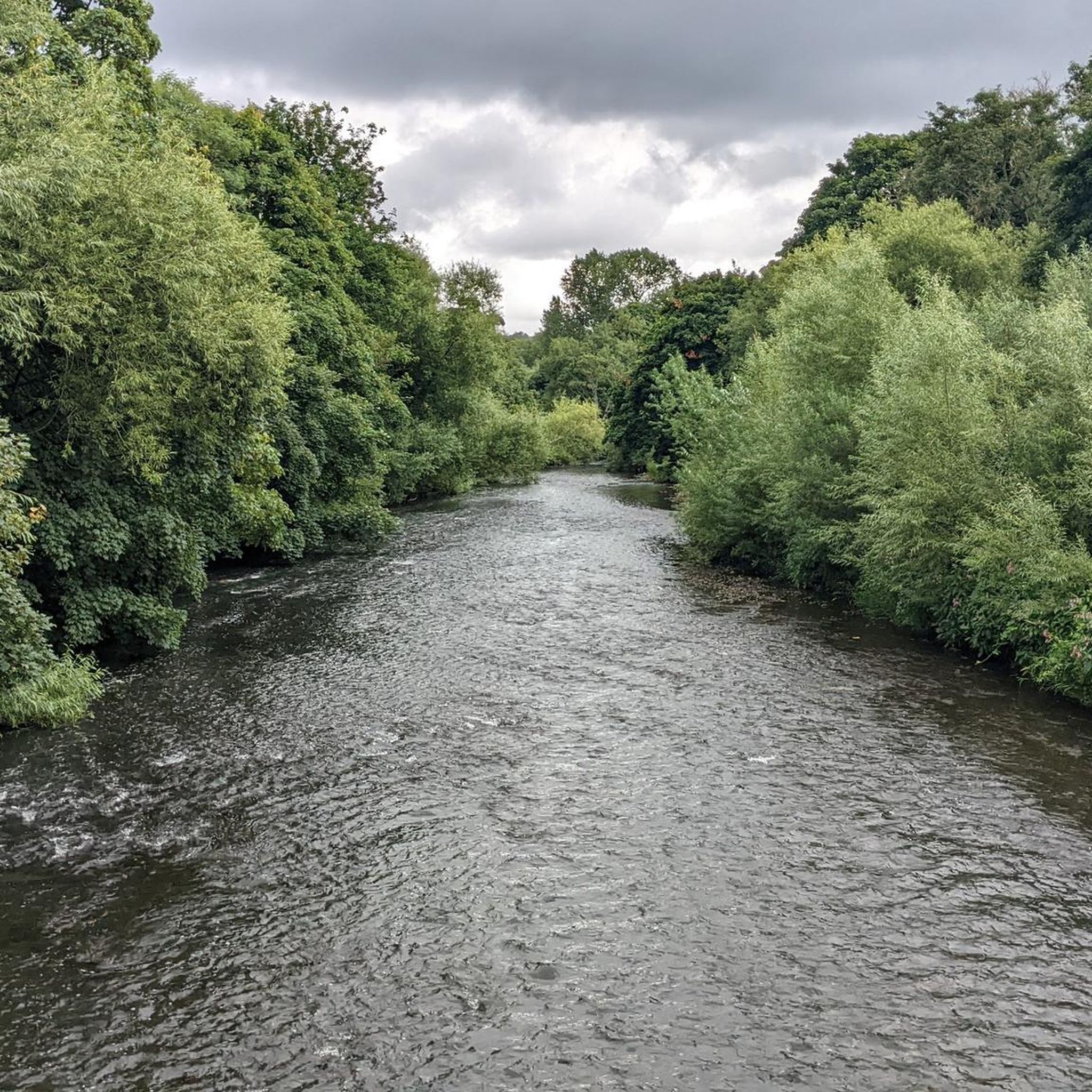
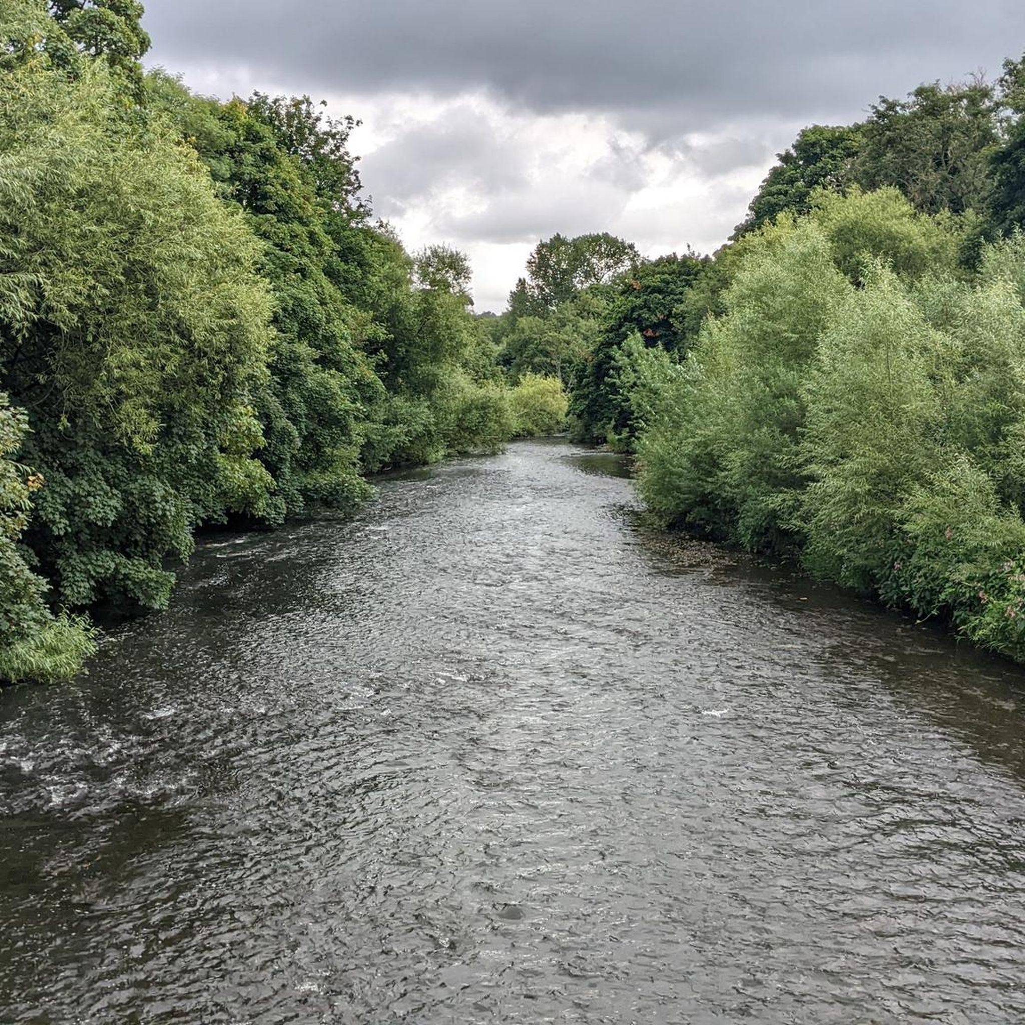
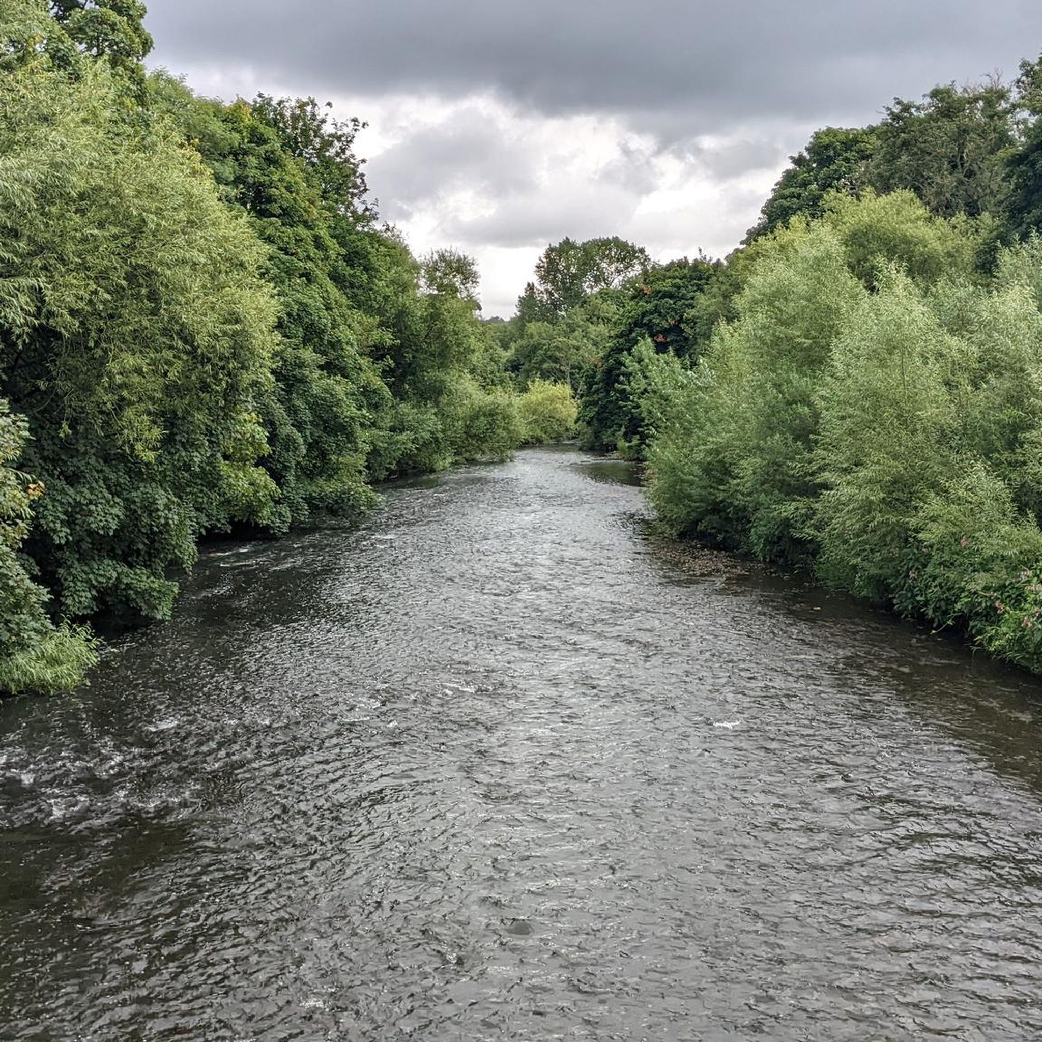
The stretch of the River Aire between Bradford and Leeds acts as a vital green and industrial corridor, carving its way through the historic Aire Valley. While the river technically bypasses Bradford's city centre meeting the Bradford Beck at Shipley it flows directly through the northern edge of the Bradford district before cutting through West Leeds and into the heart of Leeds city centre.
0
0

A few couple of cafes along the route away from Leeds, hidden in the tree line along the canal .
0
0


Lovely park with training machines, boating lake and some lovely green spaces.
0
0

This is such a well kept park. The Half Moon Cafe is open and also the bar The Boathouse Inn overlooking the river
0
0

Lots to do here....food, toilets, art gallery and a bike shop!
0
0
Frequently Asked Questions
How many running routes are available around Wrose, and what are their difficulty levels?
Wrose offers a wide selection of running routes, with over 890 options available. These routes cater to all fitness levels, including approximately 100 easy routes, over 660 moderate routes, and around 120 difficult routes for more experienced runners.
What kind of terrain can I expect on the jogging routes in Wrose?
The jogging routes around Wrose feature a diverse mix of terrain. You'll find many routes along canal paths and riverside trails, which are often flat and paved. Other areas, especially those connecting to the wider landscape, may include natural paths and some elevation changes, offering a varied running experience.
What interesting sights or landmarks can I see while running near Wrose?
Many running routes in Wrose offer scenic views and pass by notable landmarks. For instance, the Salts Mill – Saltaire World Heritage Site loop from Wrose provides views of the UNESCO World Heritage site. You can also explore natural features like Goit Stock Falls or the impressive Cow and Calf Rocks, which are accessible from some trails.
What do other runners appreciate most about the trails in Wrose?
The running routes in Wrose are highly rated by the komoot community, with an average score of 4.4 stars from over 100 reviews. Runners often praise the variety of terrain, from peaceful canal paths to routes with scenic views of historical sites like Saltaire, and the accessibility to natural features.
Are there family-friendly running routes suitable for all ages in Wrose?
Yes, Wrose offers several routes suitable for families. Many of the easier, flatter routes along the canal paths or riverside are ideal for a leisurely run with children. These paths often have mostly paved surfaces, making them accessible for various ages and fitness levels.
Are the running trails around Wrose suitable for jogging with my dog?
Many of the running trails around Wrose, particularly those along canal paths and riverside environments, are generally dog-friendly. It's always a good idea to keep your dog on a leash and be mindful of other users and local regulations, especially in more populated areas or nature reserves.
Can I find circular running routes in Wrose?
Yes, Wrose features numerous circular running routes. For example, the River Aire loop from Shipley is a popular circular trail that allows you to start and finish in the same location, offering a convenient running experience.
Are there options for long-distance running or endurance training around Wrose?
Absolutely. For those seeking longer distances, the Newlay Lock – Canal Path loop from Shipley is a challenging 33.4 km route that follows canal paths, providing an excellent option for endurance training.
Are there any easy running routes for beginners in Wrose?
Yes, Wrose has a good selection of easy running routes perfect for beginners. These often include flatter sections along the River Aire or canal paths, providing a gentle introduction to running in the area. Look for routes marked as 'easy' on komoot.
When is the best time of year to go running in Wrose?
Wrose offers enjoyable running conditions throughout much of the year. Spring and autumn provide pleasant temperatures and scenic views as the landscape changes. Summer is also great, especially for riverside or canal path runs. Winter can be managed, but be prepared for potentially wet or icy conditions on some trails.
How accessible are Wrose's running routes by public transport?
Wrose and its surrounding areas, including Shipley and Saltaire, are generally well-served by public transport. Many running routes start near public transport hubs, making it convenient to access the trails without a car. It's advisable to check local bus and train schedules for specific starting points.
Where can I find parking for the running trails in Wrose?
Parking availability varies by specific trailhead. Many routes that start in or near towns like Shipley or Saltaire will have public car parks. For routes in more rural areas, roadside parking might be an option, but it's always best to check specific route details on komoot for recommended parking spots.
Are there any running routes that offer scenic viewpoints in Wrose?
While Wrose itself has some local elevation, many routes connect to wider landscapes that offer scenic viewpoints. Trails that venture towards areas like Lister Park or those with views of the River Aire and Saltaire World Heritage Site provide picturesque backdrops for your run.
Most popular attractions around Wrose

Get inspired with the komoot mobile app


Explore more
Browse the best Running Trails & Routes in other regions.
