The best running trails around Dinnington
4.3
(141)
21,860
runners
611
runs
Jogging around Dinnington offers access to a landscape transformed from its industrial past into natural havens. The region features extensive networks of footpaths through woodlands, redeveloped former industrial sites, and rolling countryside. These areas provide varied terrain, from flat sections to steeper gradients, suitable for different running preferences.
Best jogging routes around Dinnington
- The most popular jogging route is Havannah Nature Reserve loop from Hazlerigg Village, a 4.7 miles (7.5 km) trail that takes 46 minutes to complete. This route offers an extensive network of footpaths through a redeveloped natural area with countryside views.
- Another top favourite among local runners is Running loop from Seaton Burn, a moderate 6.5 miles (10.4 km) path. This route traverses rolling countryside and diverse habitats, including woodlands and meadows.
- Local runners also love the Seaton Burn Waggonway – Seaton Burn Waggonway loop from Seaton Burn, a 4.8 miles (7.8 km) trail leading through redeveloped natural havens, often completed in about 50 minutes.
- Jogging around Dinnington is defined by redeveloped natural havens, rolling countryside, and diverse habitats including woodland and meadows. The network offers options for easy, moderate, and difficult ability levels.
- The routes in Dinnington are highly rated by the komoot community with an average score of 4.2 stars from over 90 reviews. More than 20,000 runners have used komoot to explore Dinnington's varied terrain.
Last updated: July 6, 2026
37
runners
7.53km
00:47
30m
30m
Moderate run. Good fitness required. Mostly paved surfaces. Suitable for all skill levels.
5.0
(3)
17
runners
Moderate run. Good fitness required. Mostly paved surfaces. Suitable for all skill levels.

Sign up for free
18
runners
6.12km
00:40
10m
10m
Moderate run. Good fitness required. Mostly paved surfaces. Suitable for all skill levels.
21
runners
10.4km
01:07
50m
50m
Moderate run. Good fitness required. Mostly paved surfaces. Suitable for all skill levels.
3.0
(1)
11
runners
6.03km
00:38
20m
20m
Moderate run. Good fitness required. Mostly paved surfaces. Suitable for all skill levels.
Get access to more routes and recommendations from other explorers.
Sign up for free
Already have an account?
Our route recommendations are based on thousands of hikes, rides, and runs completed by other people on komoot.
Start today with a free account
Your next adventure awaits.
Login or Signup
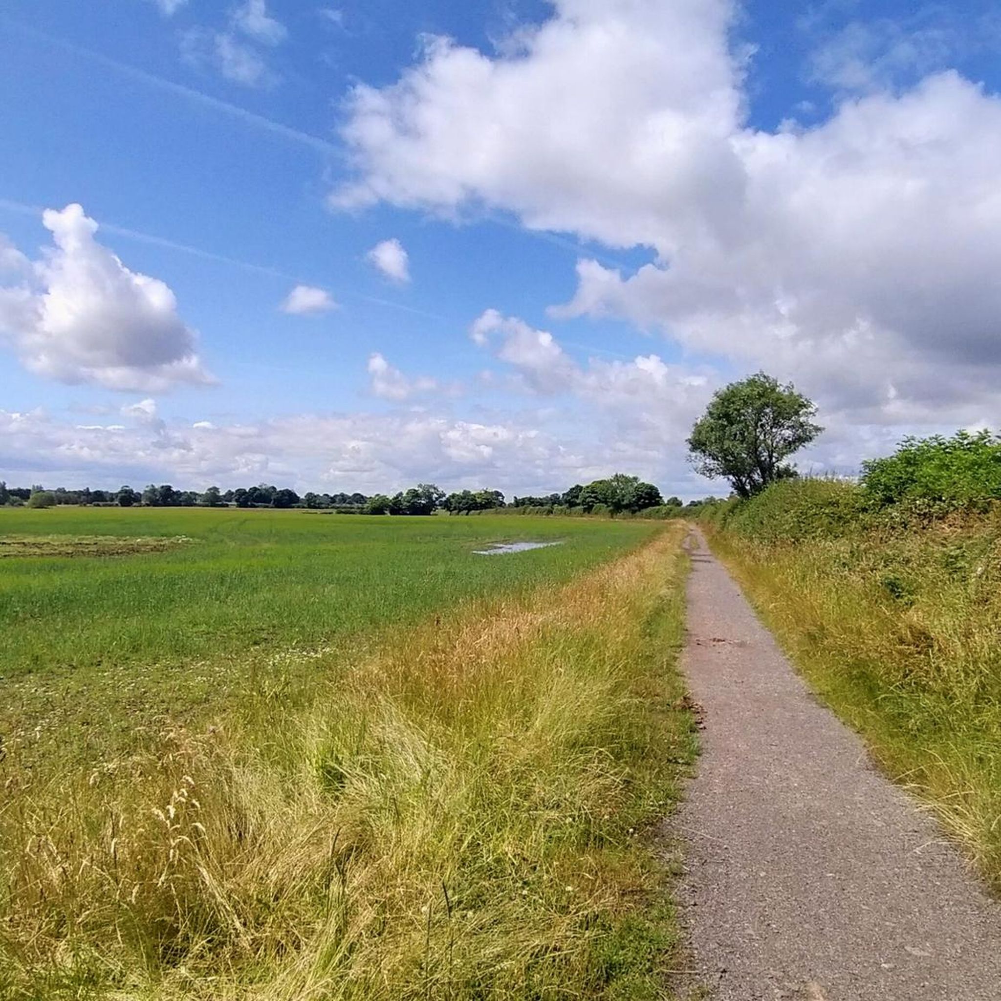
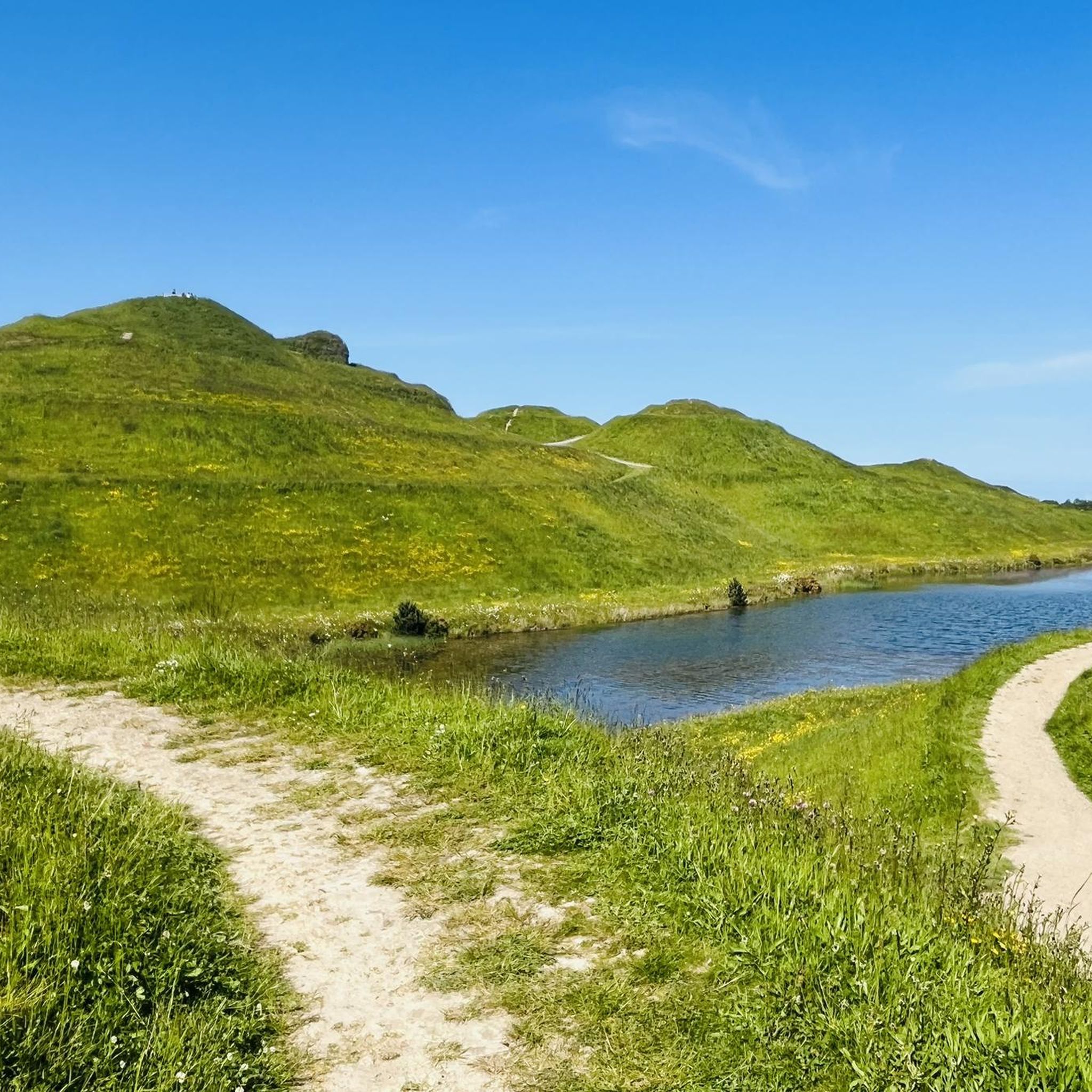
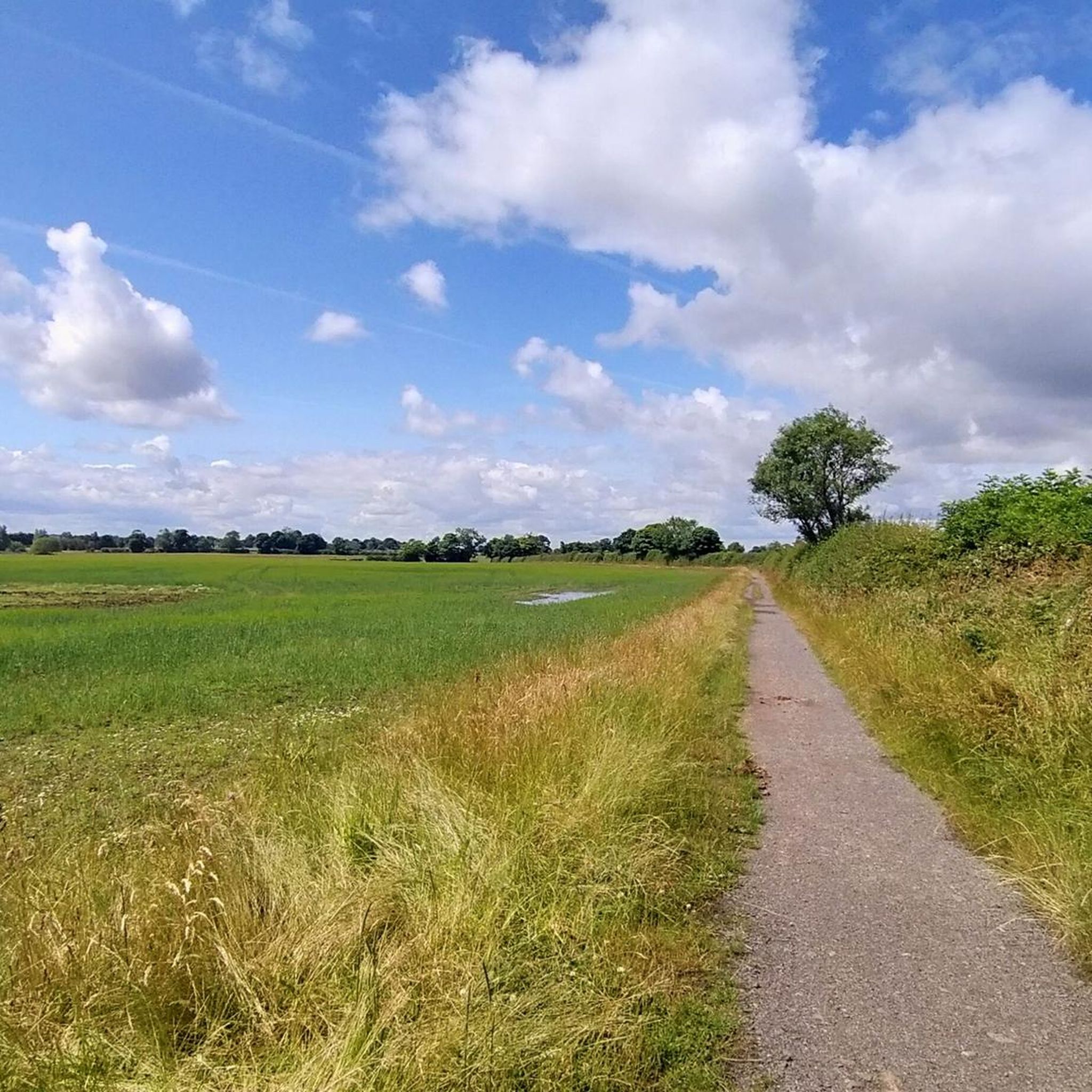
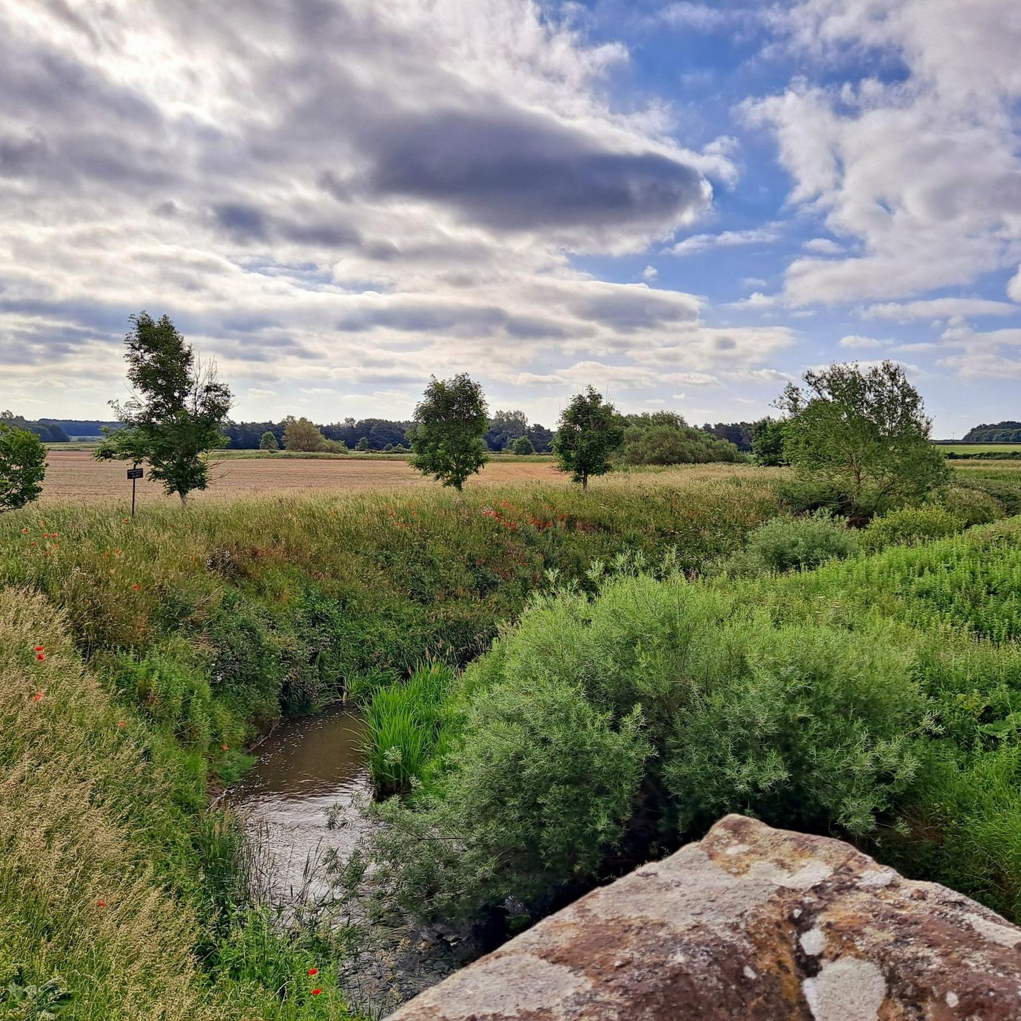
Tips from the Community

October 2025 - track is closed probably to end November for resurfacing and widening work. Looks closed down to Weetslade
0
0

Cycling guides for the wagonways in North Tyneside can be downloaded from the council's website https://my.northtyneside.gov.uk/category/244/waggonways-routes
1
0


🚂 The Seaton Burn Waggonway, originally known as the Brunton and Shields Railway, was an industrial railway line operated between 1826 and 1920 to transport coal from collieries such as Brunton, Burradon and Seaton Burn to the River Tyne. The line was partly horse-drawn and partly rope-operated with stationary steam engines—an early form of funicular railway1. In 1837 the route was extended to North Shields, and around 1867 it was converted to standard gauge to connect with the wider railway network. Today, the former railway line has been converted into a traffic-free footpath and cycleway, part of the Waggonways network in North Tyneside. The path winds through green corridors and past traces of industrial heritage, and is popular with walkers, cyclists and nature lovers.
10
0
🚂 The Seaton Burn Waggonway, originally known as the Brunton and Shields Railway, was an industrial railway line operated between 1826 and 1920 to transport coal from collieries such as Brunton, Burradon and Seaton Burn to the River Tyne. The line was partly horse-drawn and partly rope-operated with stationary steam engines—an early form of funicular railway1. In 1837 the route was extended to North Shields, and around 1867 it was converted to standard gauge to connect with the wider railway network. Today, the former railway line has been converted into a traffic-free footpath and cycleway, part of the Waggonways network in North Tyneside. The path winds through green corridors and past traces of industrial heritage, and is popular with walkers, cyclists and nature lovers.
10
0


Frequently Asked Questions
How many running routes are available in Dinnington?
Dinnington offers a wide selection of running routes, with over 550 options available. These routes cater to various preferences, including easy, moderate, and difficult ability levels.
What kind of terrain can I expect on jogging routes in Dinnington?
You can expect a diverse range of terrain in Dinnington. Many routes traverse redeveloped natural havens, such as the Dinnington Community Woodland, which features footpaths primarily made of non-bonded crushed material. Gradients vary from flat sections to steeper inclines (up to 1:10), offering a good mix for different running styles. The area also boasts rolling countryside, woodlands, wetlands, and meadows.
Are there easy jogging routes suitable for beginners in Dinnington?
Yes, Dinnington has numerous easy jogging routes perfect for beginners. There are 89 routes classified as easy, providing gentle paths through scenic landscapes. These are ideal for those looking for a less strenuous run.
What do other runners enjoy most about jogging in Dinnington?
The running routes in Dinnington are highly rated by the komoot community, with an average score of 4.2 stars from over 90 reviews. Runners often praise the transformation of former industrial sites into flourishing natural havens, the varied terrain, and the extensive network of footpaths that offer great views over the countryside.
Are there any circular running routes in Dinnington?
Yes, many of the running routes in Dinnington are circular, allowing you to start and finish at the same point. For example, the Havannah Nature Reserve loop from Hazlerigg Village is a popular 4.7-mile trail that offers extensive footpaths and countryside views.
Can I jog with my dog on trails in Dinnington?
While specific dog restrictions can vary, many natural areas and public footpaths in Dinnington are generally dog-friendly, provided dogs are kept under control. Areas like Dinnington Community Woodland and the various pocket parks offer open spaces suitable for running with your canine companion. Always check local signage for any specific rules.
What natural features or landmarks can I see while jogging in Dinnington?
Dinnington's jogging routes offer views of diverse habitats, including woodlands, wetlands, and meadows. You might encounter landmarks like the Havannah Nature Reserve, or enjoy the tranquil views from Leys Lane Pocket Park. Other points of interest include the original pit wheel from the former Dinnington Colliery and the Miners Memorial Wall in Coronation Park.
Are there family-friendly running paths in Dinnington?
Yes, Dinnington offers several family-friendly running paths. The Dinnington Public Open Space, for instance, is a woodland area that includes a play park, making it suitable for families. Parks like Triangle Park and The Welfare also provide well-maintained paths and lush greenery, ideal for a leisurely family jog.
Are there longer running routes for more experienced joggers?
Absolutely. For those seeking a longer challenge, Dinnington has routes like the Running loop from Seaton Burn, which is a moderate 6.5-mile path traversing rolling countryside and diverse habitats. There are 62 routes classified as difficult, offering more extensive and challenging options.
Where can I find quiet spots for a peaceful run in Dinnington?
For a peaceful run, consider areas like Leys Lane Pocket Park, which offers a tranquil escape with views over the rolling countryside. Triangle Park and The Welfare also provide serene environments with well-maintained paths away from busier areas, perfect for a quiet jog.
Are there any routes that highlight Dinnington's industrial heritage?
While many routes showcase the regenerated natural landscapes, you can find nods to Dinnington's industrial past. Coronation Park features the original pit wheel from the former Dinnington Colliery and a Miners Memorial Wall, offering a reflective point of interest during your run.
Most popular routes around Dinnington
Most popular attractions around Dinnington

Get inspired with the komoot mobile app


Explore more
Browse the best Running Trails & Routes in other regions.
