The 9 Most Amazing Peaks around Gargunnock
Best mountain peaks around Gargunnock are found within the Gargunnock Hills, a range of hills west of Stirling, Scotland. This area is characterized by volcanic rock formations and a craggy escarpment overlooking the River Forth glen. While not alpine in scale, these hills provide opportunities for outdoor activities and offer notable features and views. The landscape includes various burns and panoramic vistas over the Carse of Stirling.
Best mountain peaks around Gargunnock
- The most popular mountain peaks is Lewis Hill…
Last updated: October 6, 2026
Meikle Bin Summit
Highlight • Viewpoint
Tip by

Cort-ma-Law Summit
Highlight • Viewpoint
Tip by

Sign up now to discover places like this
Get recommendations on the best single tracks, peaks, & plenty of other exciting outdoor places.
Earl's Seat Summit
Highlight • Viewpoint
Tip by

The National Wallace Monument
Highlight • Monument
Tip by

Lewis Hill Trig Point
Highlight • Viewpoint
Tip by

Sign up for free to discover even more peaks around Gargunnock.
Already have an account?
Start today with a free account
Your next adventure awaits.

Tips from the Community

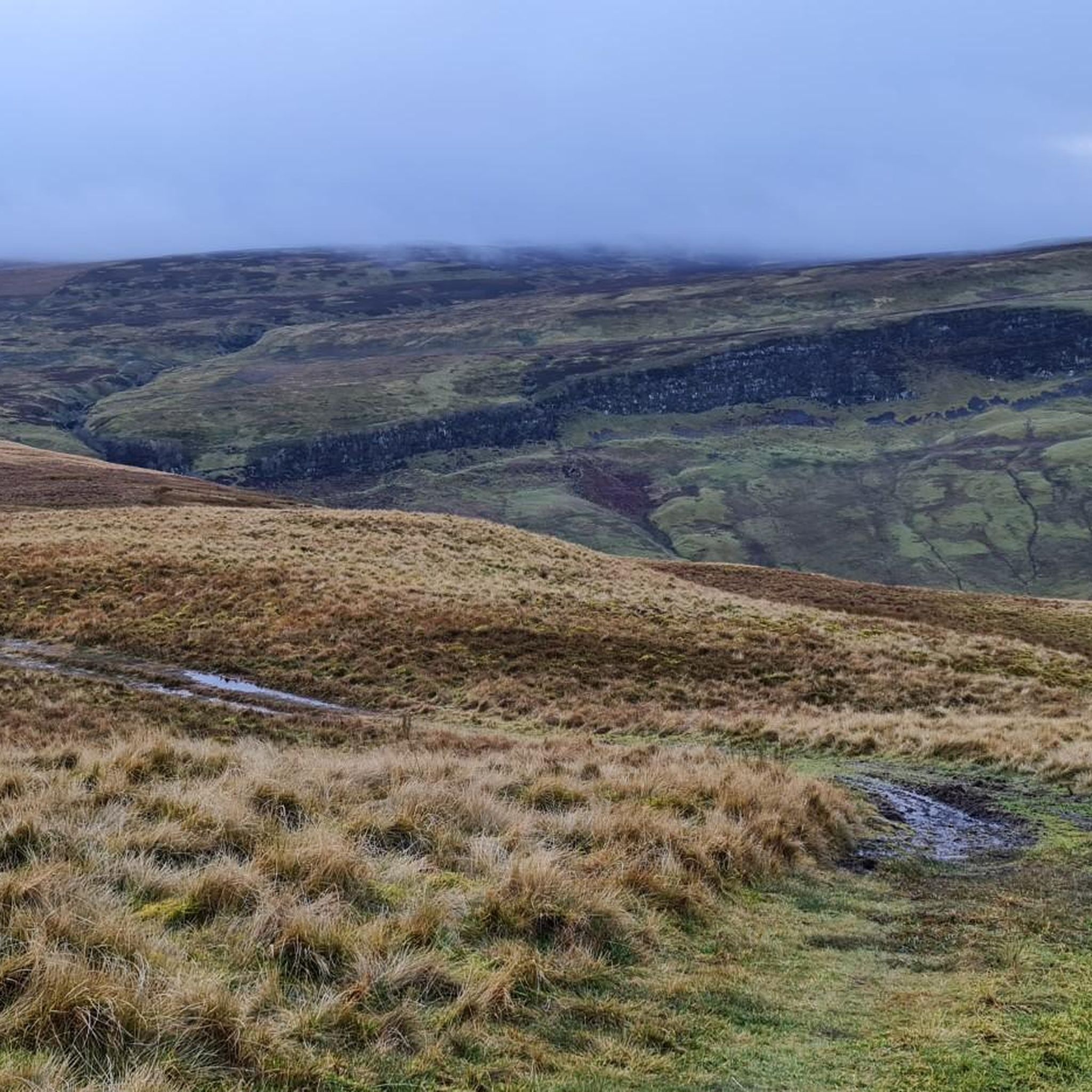
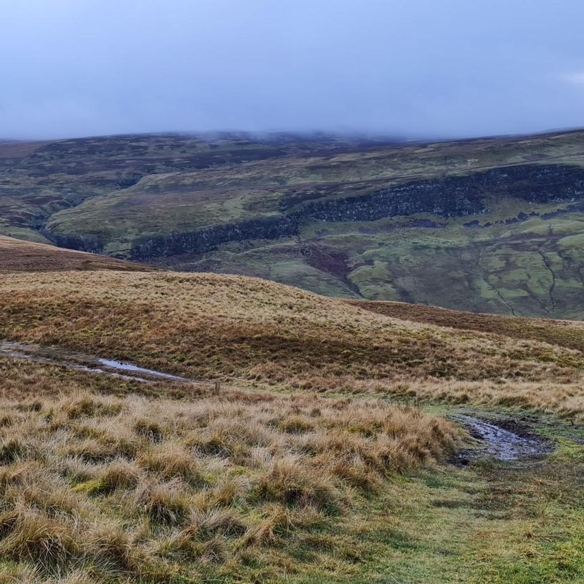
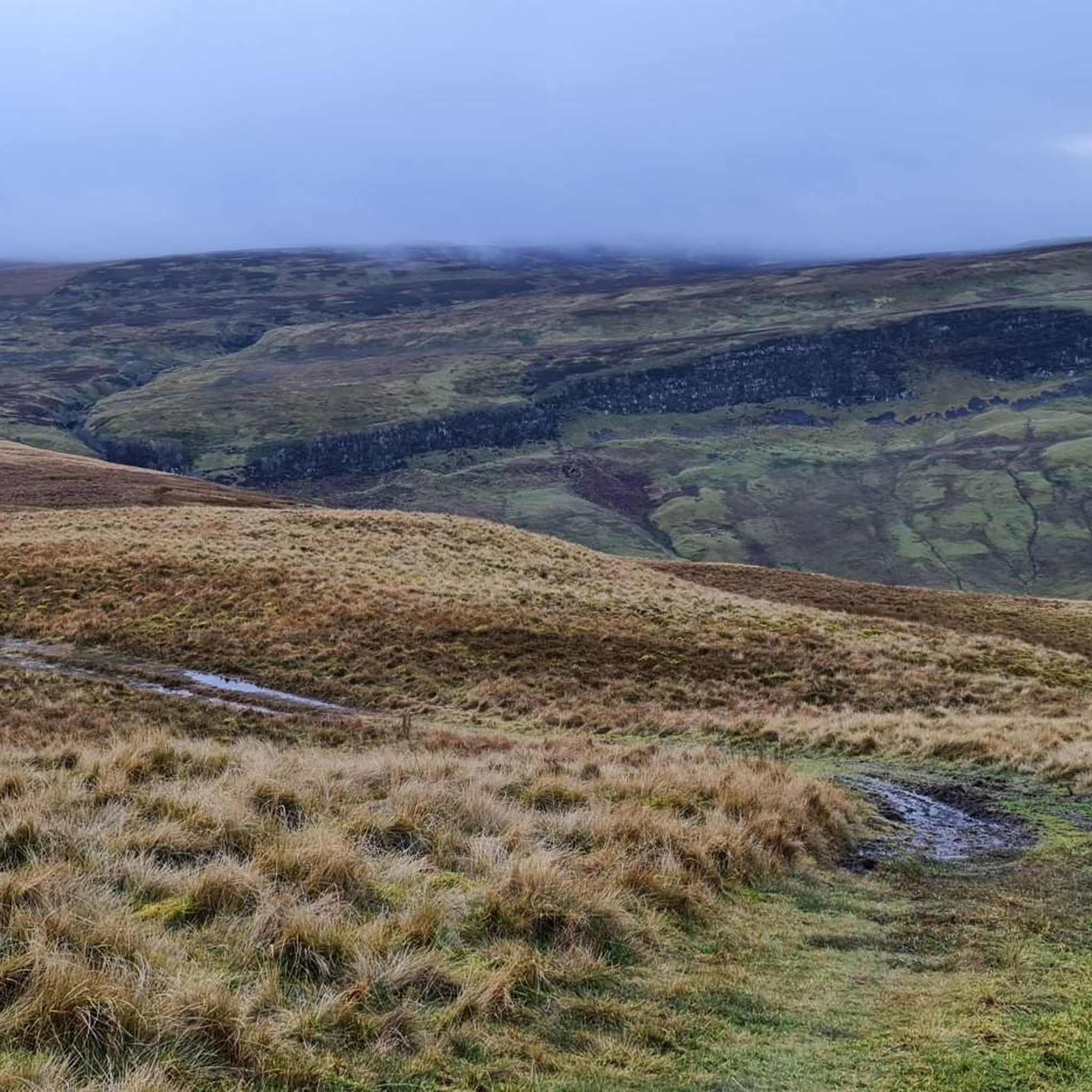
The Cort-ma-Law Summit is located in the Campsie Fells north of Glasgow. The ascent leads through open, partly boggy moorland and rewards with a wide panoramic view over the rolling hills and valleys of the surrounding area. In clear weather, the view extends far beyond the Central Lowlands and up to the distinctive mountains of the Highlands.
0
0

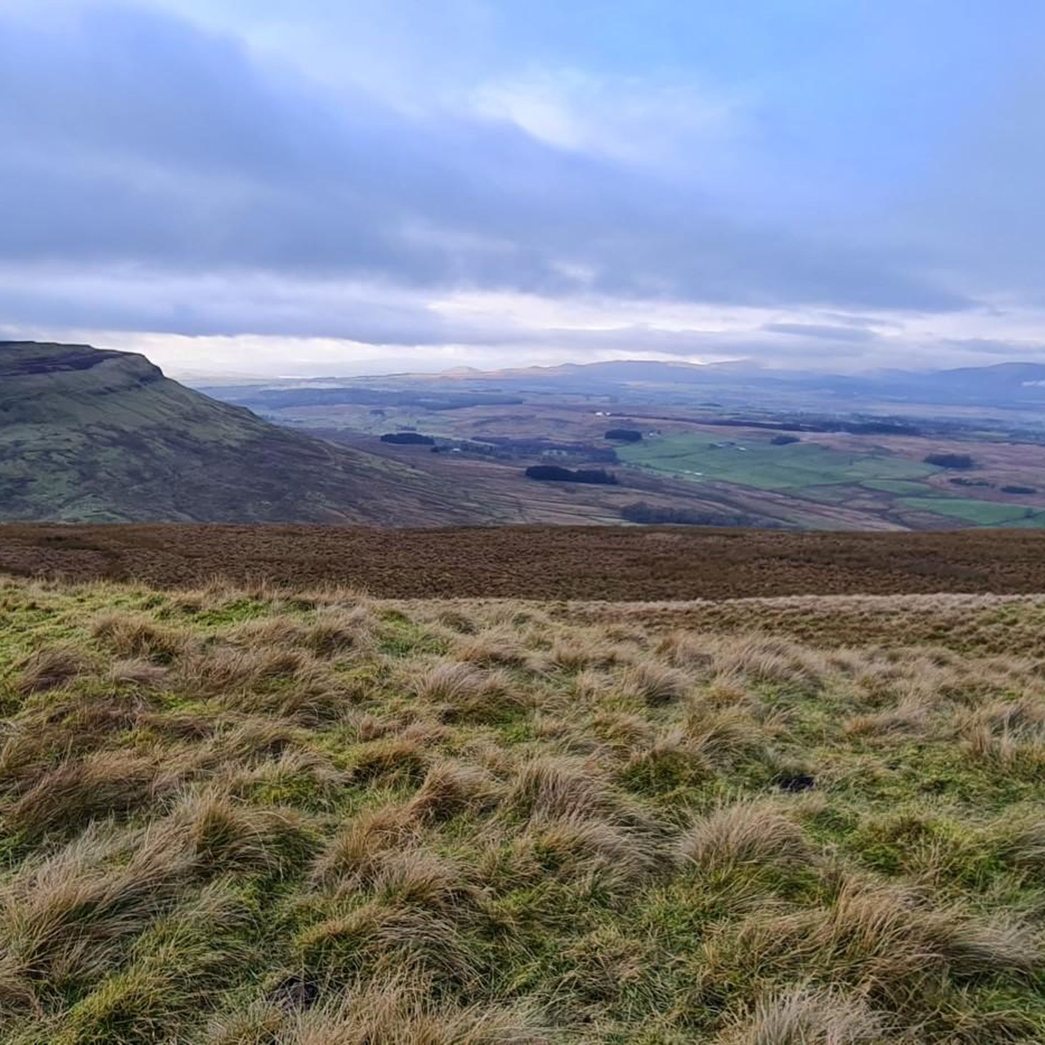
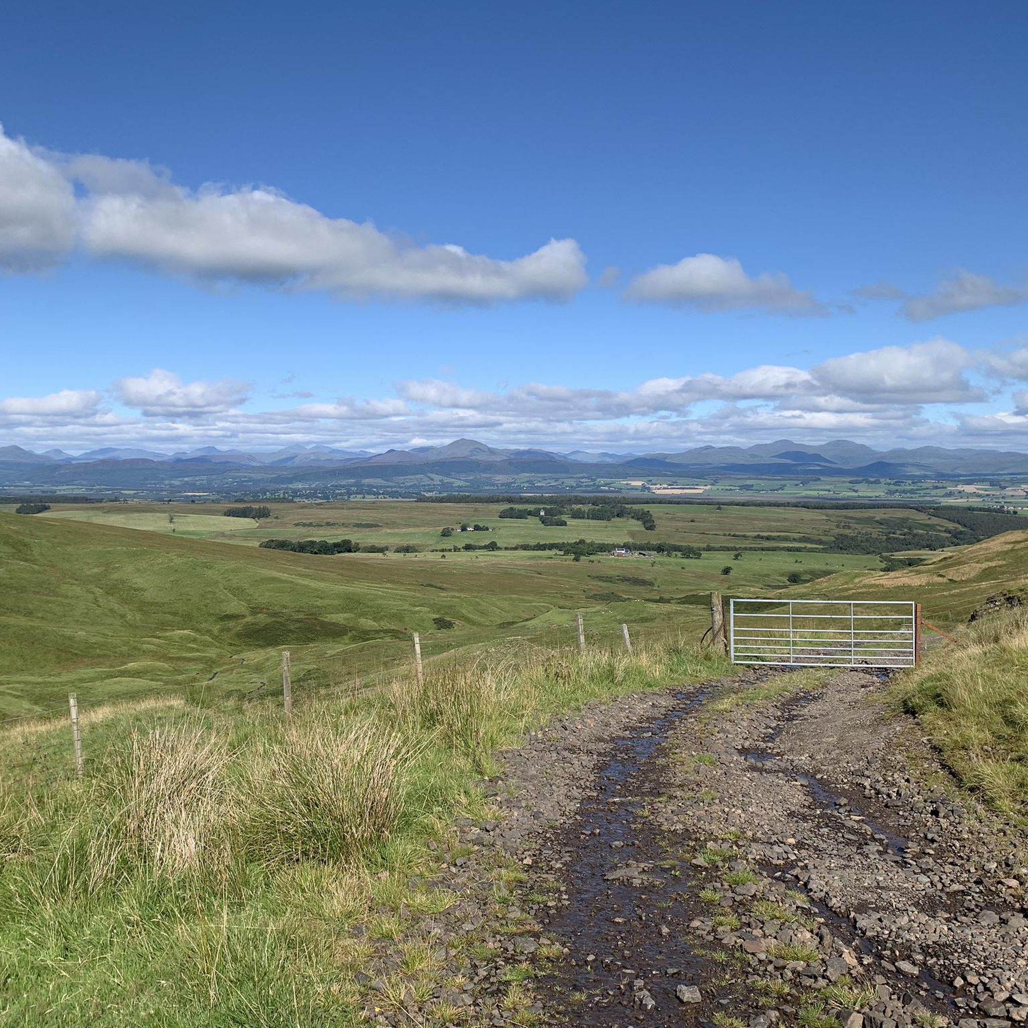
Lewis Hill is a gentle sumit on Sauchie Crag with lovely views to the central belt of Scotland. Part of a good circular walk around the North Third Reservoir.
1
0

Great view, the climb is worth it
1
0

On the horizon, at the other end of Stirling, the castle towers over the city. Be sure to visit if you're ever here.
1
0

Here you have a wonderful view over Sterling and the surrounding area. A little bit of dreaming into historical times!
1
0

A narrow spiral staircase with many steps leads to the top of the viewing platform. It can be tight on the narrow stairs because there is oncoming traffic. Only partially recommended for small children and unsteady stair climbers. However, the path from the parking lot to the monument through the forest is also very beautiful and family-friendly. If you want to save the sporty entrance fee (only for climbing the tower), you can also experience something like this. With a bit of luck you will experience a small spectacle at the foot of the monument.
1
0

An eastern outlier of the Campsie Fells encircled by the Carron Valley Forest. At 570m it's a good hill with a trig point and great views. A good short but steep run from the forest car parks in the north it can also be added to the Kilsyth Hills ridgeline when running from the Carron Valley Reservoir.
0
0
At 578m Earl's Seat is the highest point of the Campsies which makes it a great target for a run in this area. The views are great, it's got a nice trig point and although mountainous it's not that steep. Normally run from Strathblane in the south or from Dumgoyne in the west.
0
0
Frequently Asked Questions
What are some of the most popular mountain peaks to visit around Gargunnock?
The Gargunnock area offers several popular peaks and viewpoints. Among them, Lewis Hill Trig Point is known for its panoramic views towards the Scottish Highlands and is ideal for sunset hikes. Meikle Bin Summit, at 570 meters, is a distinct and family-friendly peak within the Carron Valley Forest. Another favorite is Earl's Seat Summit, the highest point of the Campsies at 578 meters, offering extensive views and a rewarding target for runs and hikes.
Are there family-friendly mountain walks in the Gargunnock Hills?
Yes, the Gargunnock Hills offer options suitable for families. Meikle Bin Summit is considered popular with families due to its accessible nature despite its mountainous appearance. Additionally, the area around The National Wallace Monument provides good cycle paths and is a family-friendly historical site with a cafe and stunning views.
What are the typical hiking conditions like in the Gargunnock Hills, especially regarding boggy areas?
Many trails in the Gargunnock Hills can be quite boggy, especially after rain or during wetter seasons. For instance, the path to Cort-ma-Law Summit is known to be very boggy most of the year, best tackled after a long dry spell or hard frost. Similarly, the descent from Meikle Bin Summit, particularly as it enters the woods, can become incredibly muddy and challenging to navigate.
What is the highest point in the Gargunnock Hills and what can I expect when hiking it?
The highest point within the Gargunnock Hills is Carleatheran, reaching 485 meters (1,591 ft). It is marked by a trigonometrical pillar at its summit. The ascent is often part of a challenging 14.7-mile (23.6 km) loop, offering extensive views over the Carse of Stirling and the mountains to the north.
What natural features, beyond the peaks, can I explore in the Gargunnock area?
Beyond the peaks, the Gargunnock Hills are characterized by their volcanic rock formations and a significant craggy escarpment overlooking the River Forth glen. You can also visit Downie's Loup, a waterfall where the Gargunnock Burn plunges over the scarp. A more accessible higher fall with a small cave is also present, particularly impressive after heavy rain or in winter.
Are there historical sites or monuments near the Gargunnock peaks?
Yes, a notable historical site nearby is The National Wallace Monument. This impressive monument offers stunning views and commemorates Sir William Wallace. It's accessible via good cycle paths and includes a cafe.
What outdoor activities, besides hiking, can I do near the Gargunnock peaks?
The area around Gargunnock is excellent for various outdoor activities. You can find numerous routes for mountain biking, cycling, and gravel biking. For mountain biking, consider routes like the Carron Valley Red Trail. Cyclists can explore options such as the Carron Valley Reservoir loop, while gravel bikers might enjoy the Old Railway Path. You can find more details on these activities in the dedicated guides for MTB Trails around Gargunnock, Cycling around Gargunnock, and Gravel biking around Gargunnock.
What is the best time of year to hike the Gargunnock Hills?
While the Gargunnock Hills can be enjoyed year-round, the best time to hike is generally during drier spells, especially in late spring, summer, or early autumn. This helps mitigate the very boggy conditions common on many trails. Winter hiking is possible but requires appropriate gear for potentially muddy, icy, or snowy conditions, and shorter daylight hours.
Are there any specific tips for descending from peaks like Meikle Bin Summit?
When descending from Meikle Bin Summit, especially heading south into the woods, be prepared for extremely boggy conditions. The mud can be axle-deep in places, making it challenging for both hikers and riders. It's advisable to attempt this section after a prolonged dry spell or to seek alternative routes through the trees if comfortable with potentially slippy underfoot conditions.
What amenities are available in Gargunnock village for visitors?
Gargunnock village offers some basic amenities. While specific details on cafes, pubs, or accommodation are best checked locally, the village serves as a convenient starting point for many walks and activities in the surrounding hills.
Is public transport available to access the Gargunnock Hills or specific trailheads?
Public transport options to the Gargunnock Hills or specific trailheads like Meikle Bin can be limited. It's recommended to check local bus schedules or consider driving to access the various starting points for walks and activities in the area.
What makes the views from Lewis Hill Trig Point special?
Lewis Hill Trig Point offers a beautiful panoramic view looking north towards the Scottish Highlands. It's a highly recommended spot for a snack break and is particularly popular for sunset hikes or bike rides, providing a stunning backdrop over the reservoir and towards the Trossachs.
Most popular attractions around Gargunnock

Get inspired with the komoot mobile app


Explore more
See even more amazing summits around Gargunnock with these guides:
