Crosshill, Straiton And Kirkmichael
Crosshill, Straiton And Kirkmichael
The 16 Most Amazing Peaks around Crosshill, Straiton And Kirkmichael
Best mountain peaks around Crosshill, Straiton And Kirkmichael are situated within the scenic Galloway Hills in South Ayrshire, Scotland. This region features rolling hills and elevated viewpoints, providing numerous hiking opportunities. The area is characterized by a mix of woodlands, riverside paths, and prominent hills that serve as excellent bases for exploration. Villages like Straiton are noted for their picturesque setting, acting as popular starting points for local hill walks.
Best mountain peaks around Crosshill, Straiton And Kirkmichael
- The most…
Last updated: August 27, 2026
The Merrick Summit
Highlight • Natural Monument
Tip by

Tairlaw Summit (Shalloch), Ayrshire Alps
Highlight (Segment) • Climb
Ascent - 157m 514ft
Gradient - 4.1%
Strava segment: strava.com/segments/914200
The Ayrshire Alps consist of numerous challenging road cycle climbs. They were conceived by Ayr Burners …
Tip by

Sign up now to discover places like this
Get recommendations on the best single tracks, peaks, & plenty of other exciting outdoor places.
Sign up for free
Benyellary Summit
Highlight • Summit
Tip by

Corserine Summit
Highlight • Viewpoint
Tip by
Shalloch on Minnoch North Top (Caerloch Dhu)
Highlight • Summit
Tip by
Sign up for free to discover even more peaks around Crosshill, Straiton And Kirkmichael.
Sign up for free
Already have an account?
Start today with a free account
Your next adventure awaits.
Login or Signup
Popular around Crosshill, Straiton And Kirkmichael
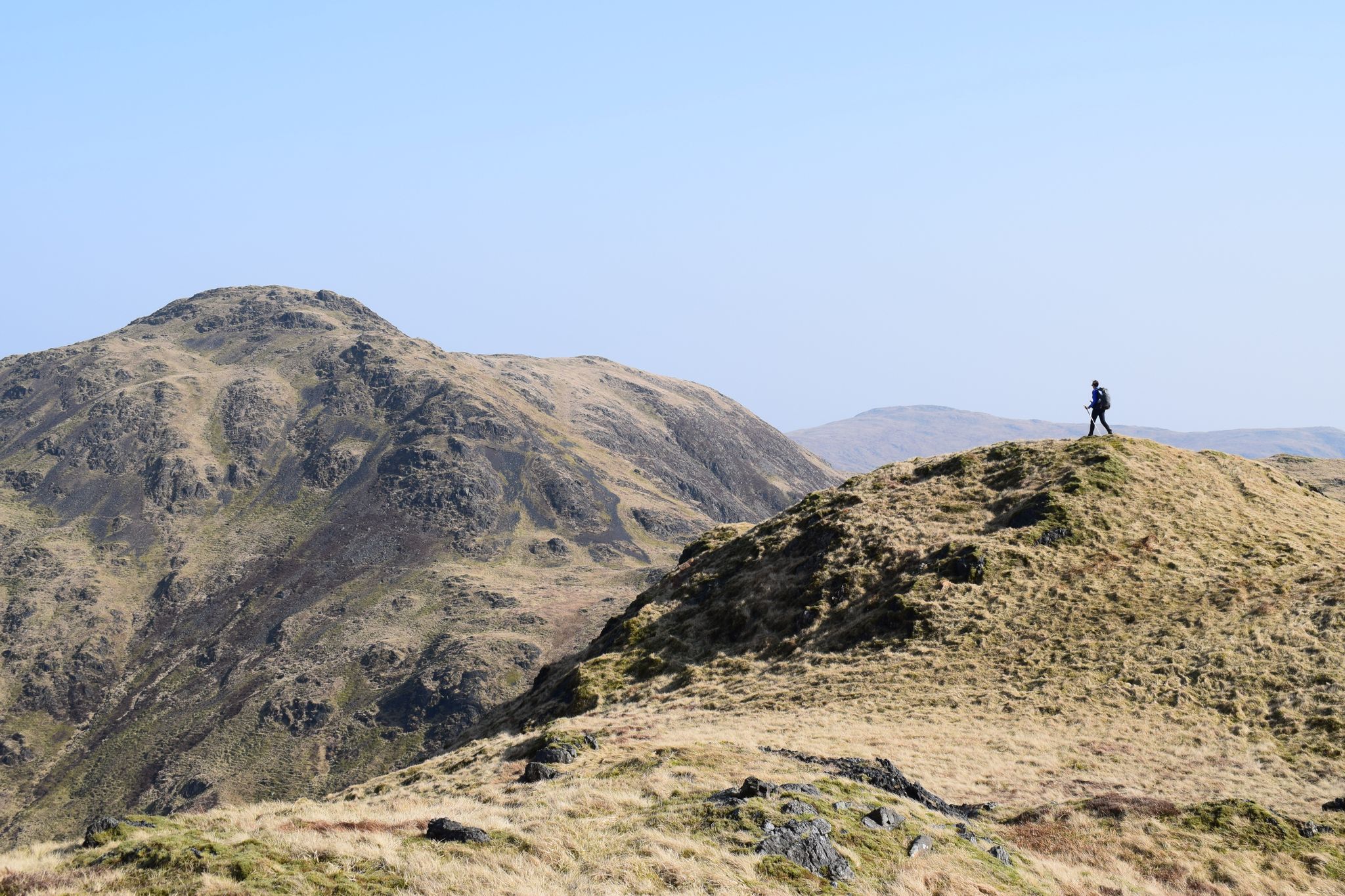
Ring of Fire — a rugged adventure in Scotland's Southern Uplands
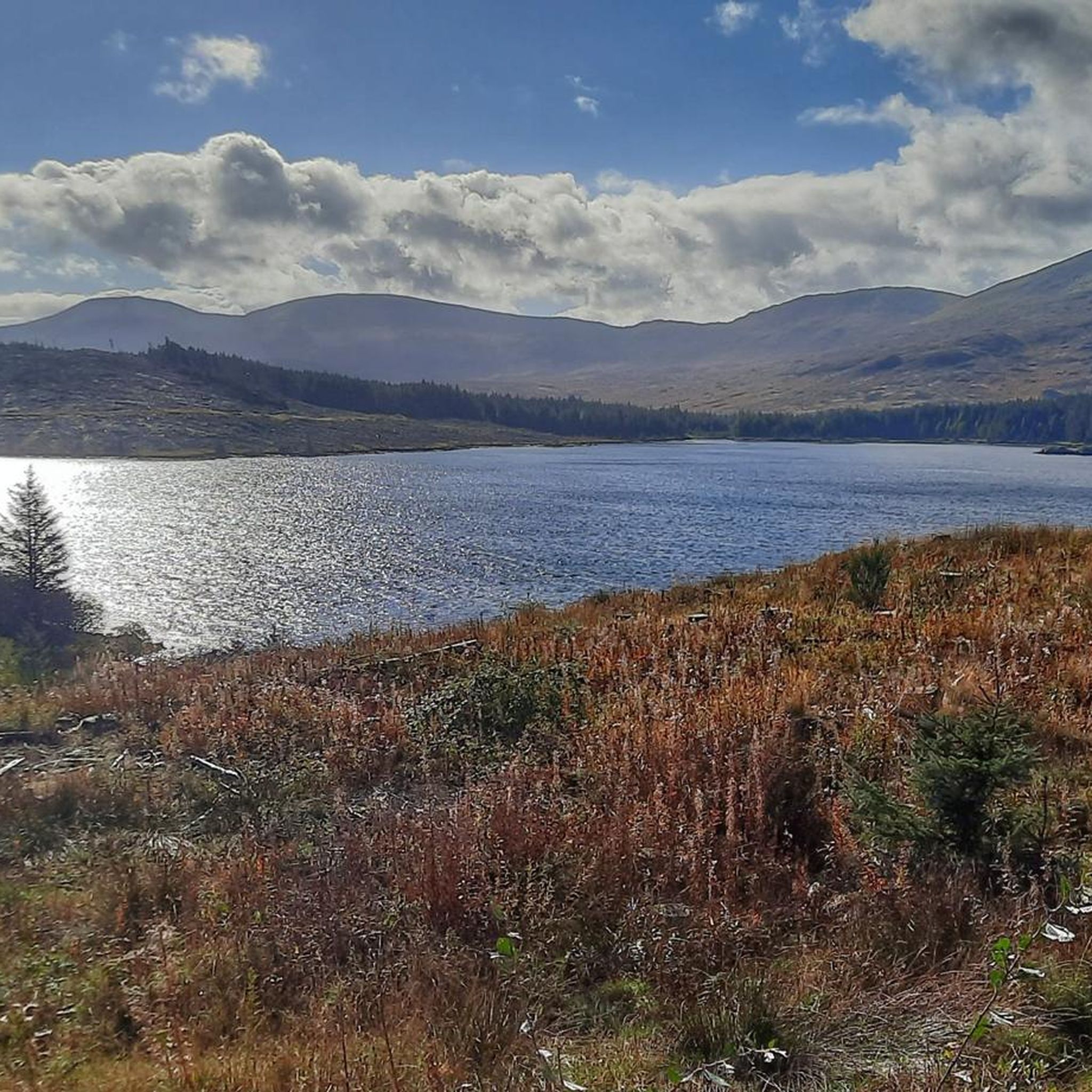
Hiking around Crosshill, Straiton And Kirkmichael
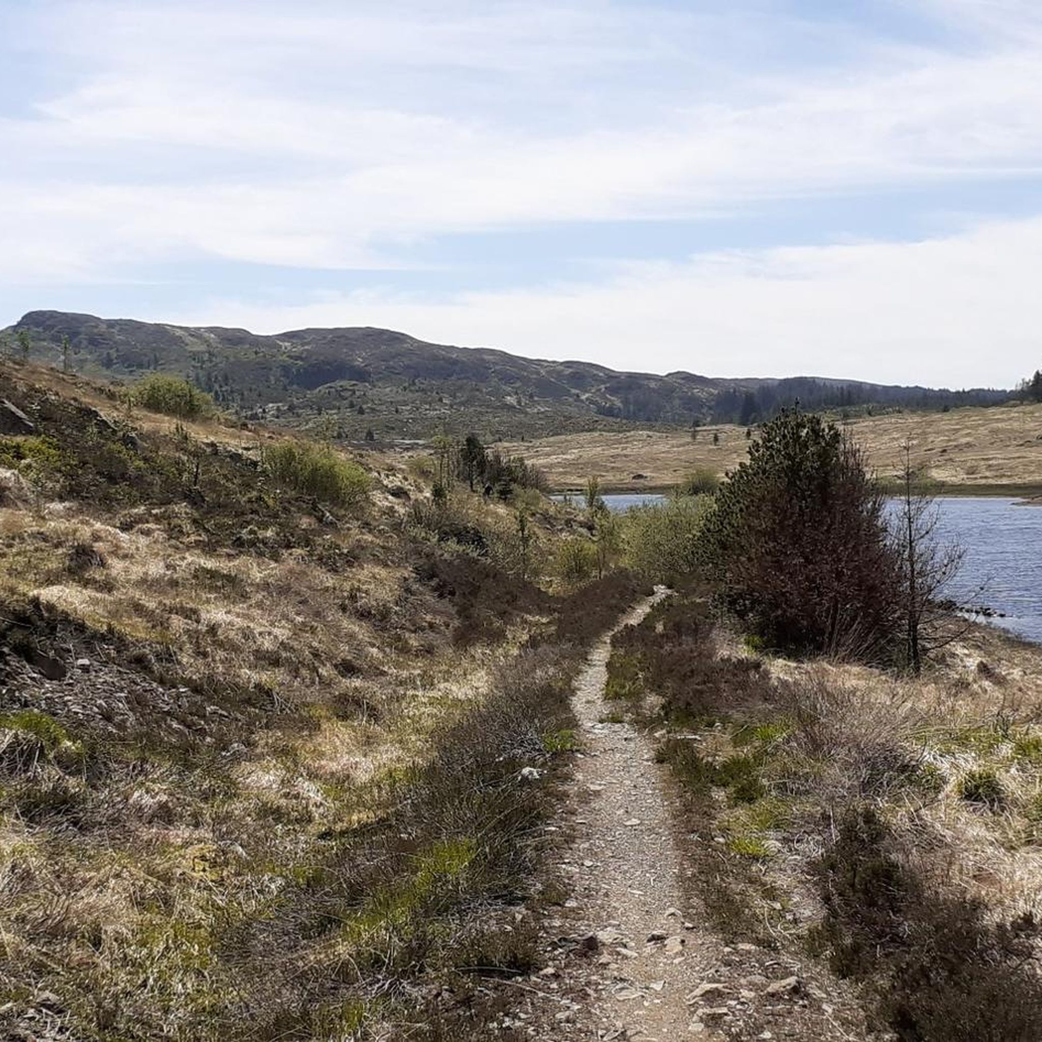
Road Cycling Routes around Crosshill, Straiton And Kirkmichael
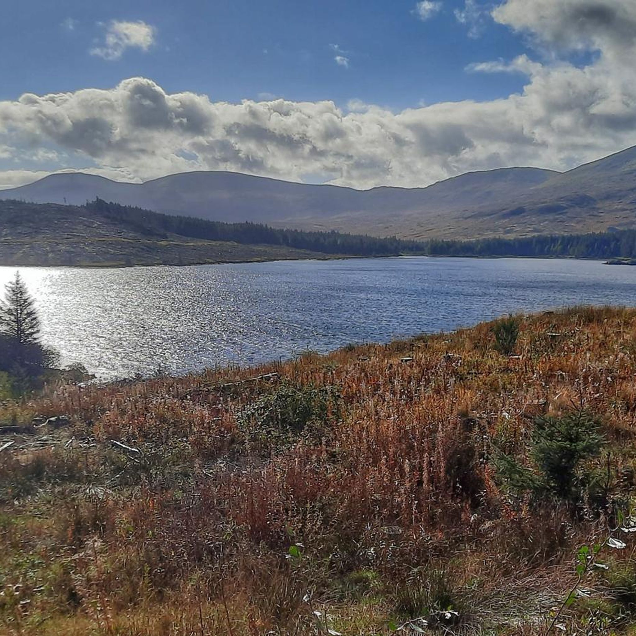
Cycling around Crosshill, Straiton And Kirkmichael
Running Trails around Crosshill, Straiton And Kirkmichael
MTB Trails around Crosshill, Straiton And Kirkmichael
Gravel biking around Crosshill, Straiton And Kirkmichael
Other adventures around Crosshill, Straiton And Kirkmichael

Tips from the Community

A steady climb and glorious descent to Glentrool
0
0

Even at the height of summer (and there has been very little rain this summer) this is a very boggy walk and you need to be very sure footed with good waterproof footwear. The views are excellent on a clear day. Would I do it again, probably not.
0
0

The landscape is stunningly beautiful, but the paths are not as easy to walk as advertised. The barely discernible path up leads almost entirely through muddy, boggy terrain. We often sank ankle-deep, at times knee-deep. From Loch Enech onwards, there is no discernible path; the ground is drier, but eroded and full of holes. The way down is the official route, and considerably better. They've tried to make everything more walkable with fleece and gravel, but the water has already washed away much of it. Unfortunately, it's hard to enjoy the scenery while walking, as you're so busy trying not to slip and sink with every step. In the end, we were glad to be back down with our bones intact. The path can only be recommended with reservations.
0
0


Great little hike with little foot traffic and a free carpark. Lovely views when the clouds lift and babbling brooks all over.
1
0

Bit of a cloud-hugger this top - certainly compared to the other tops on the ridge and the surrounding tops.
1
0
Easy way up, can get busy if the weather is nice. To spice it up and to avoid walking back the same way, worth making the loop and to walk back through the valley along the lochs - just be prepared for the boggy path.
0
0

Corserine is a 814m mountain which is one of the Rhinns of Kells in Galloway in the southern uplands of Scotland. This top is the highest point in the Rhinns of Kells range. It's also the second highest Donald hill in the Galloway Forest Park, second only to Merrick (which can be seen rising up on the other side of the valley to the west).
2
0
Frequently Asked Questions
What are some of the most popular mountain peaks and hills to hike in the Crosshill, Straiton, and Kirkmichael area?
The region, part of the scenic Galloway Hills, offers several excellent hiking opportunities. Among the most popular is The Merrick Summit, the highest point in Southern Scotland, located within Galloway Forest Park. Other notable hills include Craigengower, known for the Colonel Hunter Blair Monument and expansive views, and Black Hill near Straiton, which is part of a tranquil woodland walk.
Are there any challenging climbs for experienced hikers or cyclists in the area?
Yes, for those seeking a challenge, Tairlaw Summit (Shalloch), Ayrshire Alps offers challenging road cycling routes and is part of the 'Ayrshire Alps' collection of climbs. For hikers, the ascent to Corserine Summit, the highest point in the Rhinns of Kells range, provides a demanding experience.
What kind of views can I expect from the mountain peaks in this region?
The peaks and hills in the Crosshill, Straiton, and Kirkmichael area offer stunning panoramic views. From Craigengower, you can see across the wild rolling hills of Ayrshire, and on a clear day, as far as Ben Lomond, the Isle of Arran, and Ailsa Craig. Benyellary Summit, often visited on the way to Merrick, provides distinct views of numerous lochs and lochans.
Are there family-friendly hiking options around Crosshill, Straiton, and Kirkmichael?
Yes, the region offers easy to moderate hikes suitable for families. The 'Hill Wood Walk' to Black Hill from Straiton is approximately 5 km long, well-marked, and takes hikers through tranquil woodlands with picturesque views. The 'Monument and Bennan Circuit' also offers accessible sections and viewpoints.
What outdoor activities, besides peak bagging, can I do near these mountain peaks?
The area is excellent for various outdoor activities. You can explore numerous routes for gravel biking, such as the 'Loch Doon Castle Ruins – Viewpoint at Loch Riecawr loop from Loch Doon Roundhouse', or enjoy cycling routes like the 'Culzean Castle and Turnberry Lighthouse loop from Maybole'. For more options, check out the guides for gravel biking and cycling in the region.
Are there easy hiking trails available near Crosshill, Straiton, and Kirkmichael?
Absolutely. For easier walks, consider trails like the 'Cornish Hill Trail' or the 'Ness Glen Trail'. Another great option is the 'Straiton to Colonel Hunter Blair Monument loop', which is an easy 5.7 km hike. You can find more easy routes in the easy hikes guide for the area.
What is unique about The Merrick Summit?
The Merrick Summit is the highest point in Southern Scotland and is located within Galloway Forest Park, which is the UK's first Dark Sky Park. It's also one of the 'Range of the Awful Hand' and offers potentially the longest line of sight in Britain, reaching Snowdon on a clear day.
What is the 'Monument and Bennan Circuit' and what does it offer?
The 'Monument and Bennan Circuit' is a popular walk that includes an ascent to Craigengower, where the Colonel Hunter Blair Monument stands, and an optional short climb to a viewpoint on Bennan Hill. This circuit offers some of the finest views in the area, combining historical interest with extensive exploration of local hills and woodlands.
Are there any specific tips for hiking <a href="https://www.komoot.com/highlight/4237498" target="_blank" rel="noopener">Shalloch on Minnoch North Top (Caerloch Dhu)</a>?
Hikers should be prepared for a remote feel and potentially boggy, uneven ground, even in summer. Good waterproof footwear is highly recommended. While challenging, the views on a clear day are excellent, making it a rewarding experience for those ready for the terrain.
What makes the villages like Straiton a good base for exploring the peaks?
Straiton, often described as a 'model village' with attractive stone-built cottages, is nestled within the picturesque landscape. Its central location and charming atmosphere make it a popular starting point for many local hill walks, including routes to Craigengower and Black Hill, allowing visitors to easily access the surrounding natural beauty.
What is the best time of year to visit the mountain peaks in this region?
The region offers beauty year-round, but autumn is particularly noted for the vibrant colors in the surrounding woodlands, especially Blairquhan Woods near Craigengower. Clear days in spring and summer provide the best visibility for panoramic views, while winter hikes require appropriate gear for potentially boggy and uneven terrain.
Are there any historical landmarks on the peaks?
Yes, Craigengower is home to the 20-meter high granite Colonel Hunter Blair Monument. This obelisk was erected in memory of Lt. Col. James Hunter Blair, who died in the Battle of Inkerman in 1854, adding a historical dimension to the scenic hike.
Most popular routes around Crosshill, Straiton And Kirkmichael
Most popular attractions around Crosshill, Straiton And Kirkmichael

Get inspired with the komoot mobile app


Explore more
See even more amazing summits around Crosshill, Straiton And Kirkmichael with these guides:
