The best running trails around West Carse
4.8
(12)
3,119
runners
255
runs
Jogging around West Carse offers access to a diverse landscape characterized by flat, fertile plains and the meandering River Forth. The region provides extensive, relatively even terrain ideal for long-distance running, with views of the Ochil Hills to the north and east. While predominantly low-lying, some areas extend onto the lower slopes of these hills, offering varied elevation. This blend of open agricultural land and distant hills creates a scenic backdrop for running routes.
Best jogging routes around West Carse
…Last updated: July 8, 2026
49
runners
Hard run. Good fitness required. Sure-footedness, sturdy shoes and alpine experience required.
22
runners
10.5km
01:05
50m
50m
Moderate run. Good fitness required. Mostly paved surfaces. Suitable for all skill levels.

Sign up for free
14
runners
Easy run. Great for any fitness level. Mostly paved surfaces. Suitable for all skill levels.
12
runners
Easy run. Great for any fitness level. Mostly paved surfaces. Suitable for all skill levels.
7
runners
14.3km
01:36
210m
210m
Moderate run. Good fitness required. Mostly paved surfaces. Suitable for all skill levels.
Get access to more routes and recommendations from other explorers.
Sign up for free
Already have an account?
Our route recommendations are based on thousands of hikes, rides, and runs completed by other people on komoot.
Start today with a free account
Your next adventure awaits.
Login or Signup
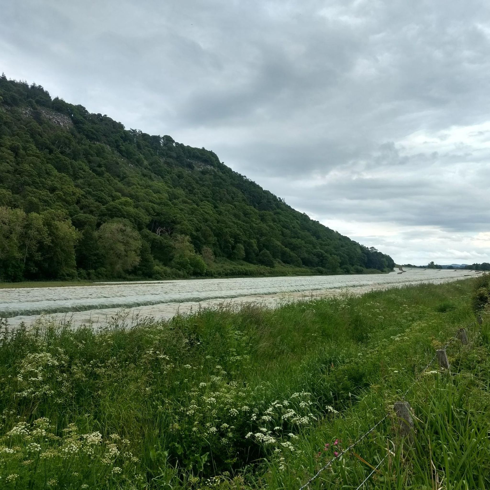
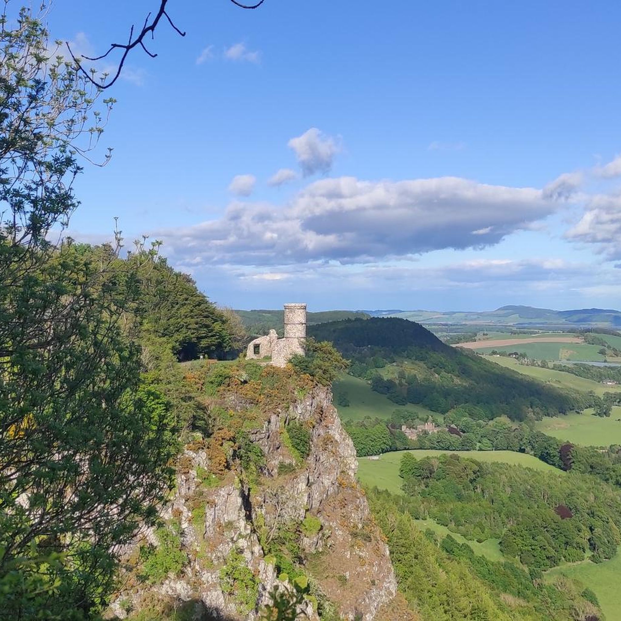
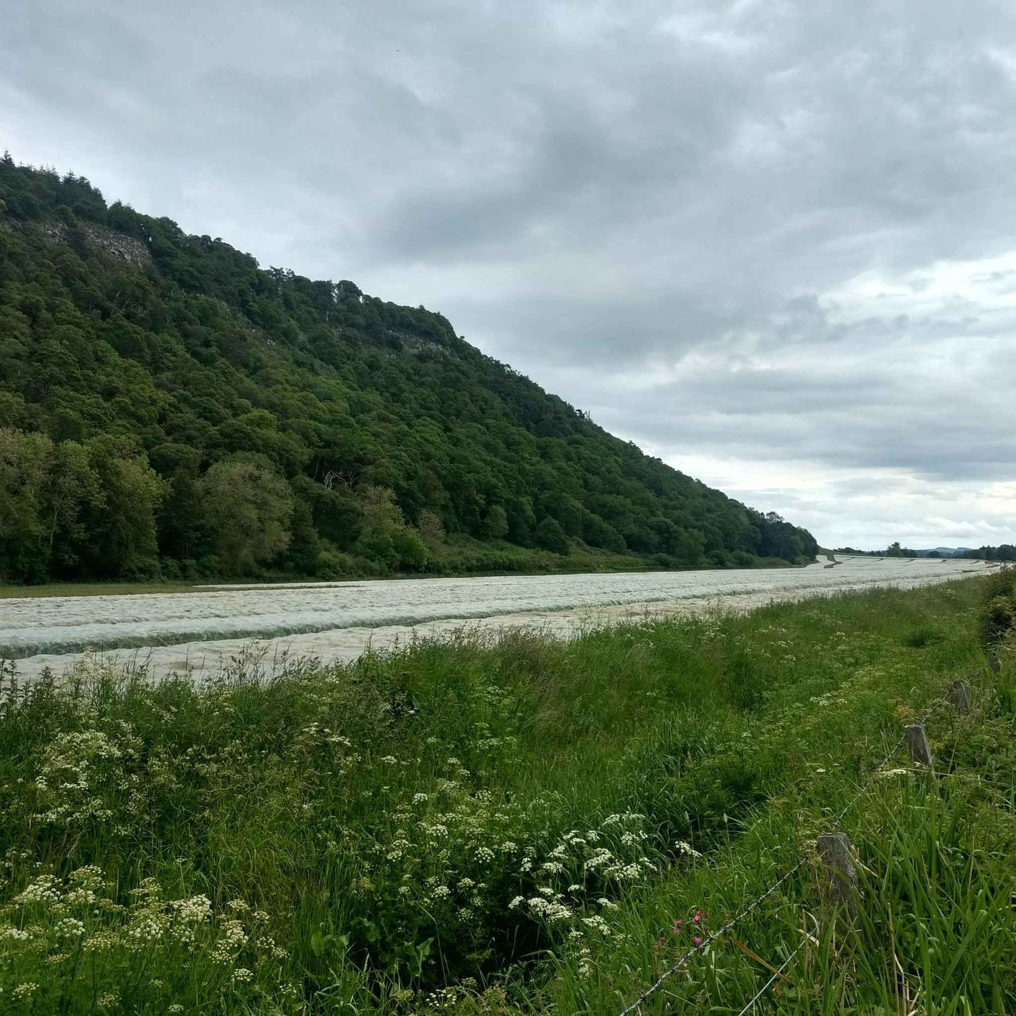
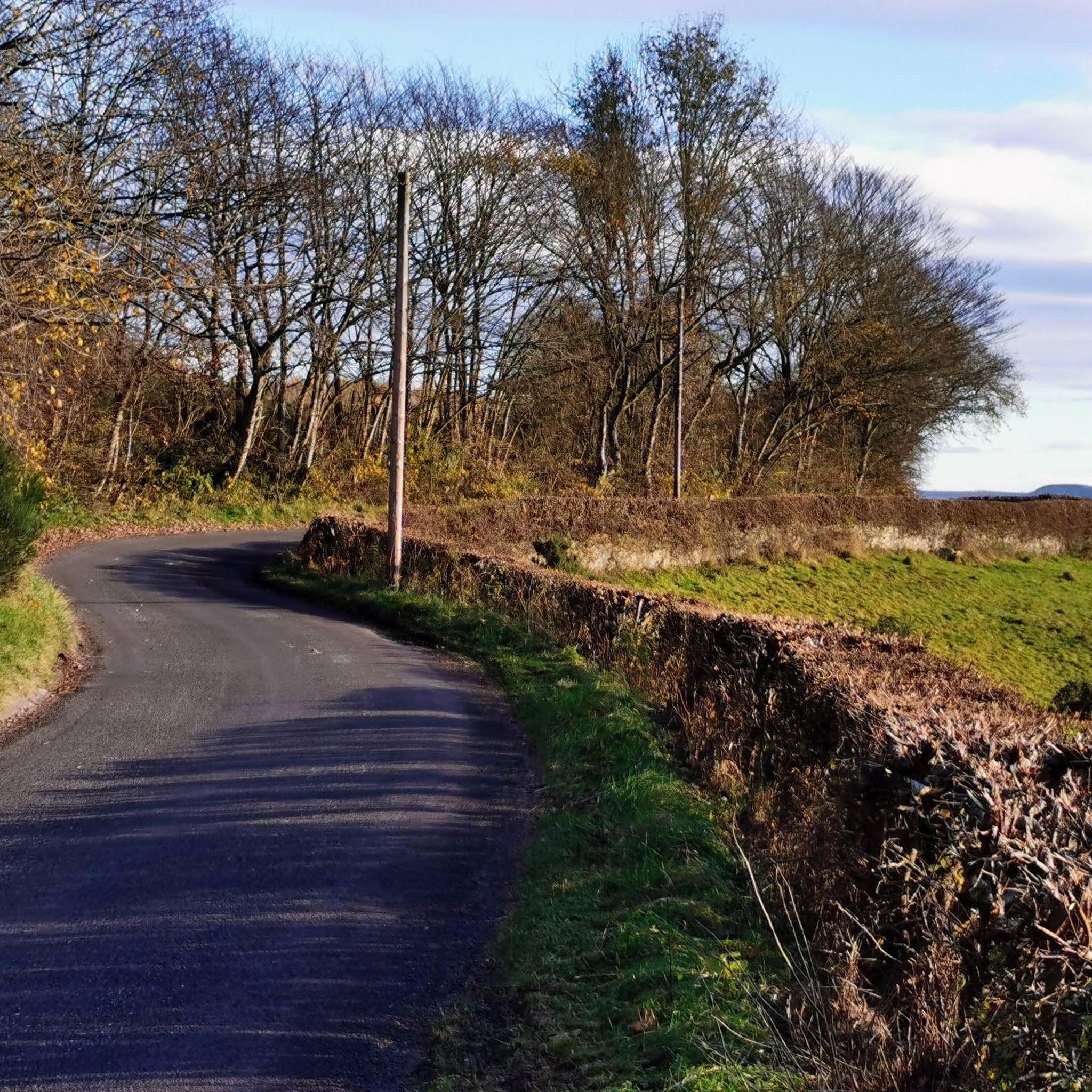
Tips from the Community

Follow the red marker posts and stay on the outside of the woods for a quick assent
0
0

Good gravel tracks and dirt for Trail MTB Explorers on an adventure.
0
0

Be careful in winter weather on these tracks. it is an elevated area, snow & ice capped. Two days after storm Eowyn January 2025, there had been snow fall and black ice was in loads of locations on these tracks. Speed was down considerably, being careful on how brakes are used. Warmer months this is a good location for MTB riding
0
0
Probably the best area to use as a base, the car park will fit maybe 14 cars in. Many trails start from this location, quick and easy to get onto the hills from here. Dog walkers and hikers do use this area commonly also
0
0
There some good tracks up beside the tower, mint views of Perth down below and the river. Mint viewing point
0
0

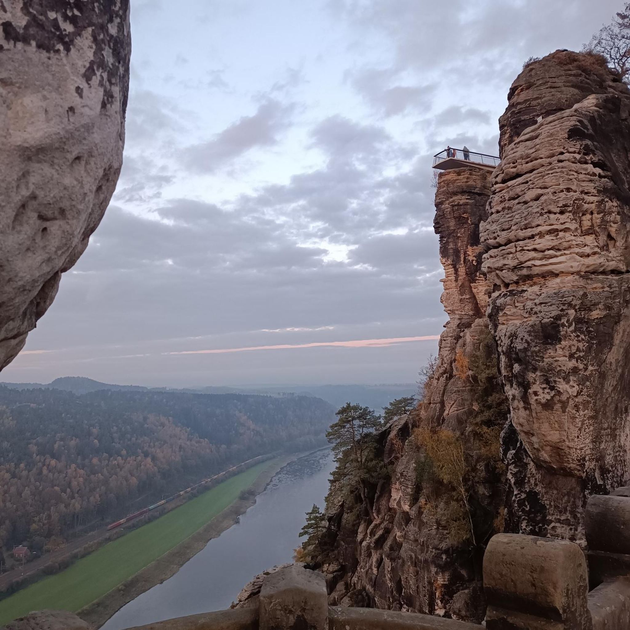
Kinnoull Hill Tower is a structure situated on the edge of a high hill overlooking the River Tay. Built in the early 19th century, it consists of a round tower set between walls. The tower is set in wooded landscaped grounds, with trails through mature beech and pine forests. There is also an arboretum and excellent views across the Tay Valley. The dramatic cliffs at the southern end of Kinnoull Hill reminded the 9th Earl of Kinnoull of the lofty rock formations along the Rhine Valley in Germany and of fairytale castles that do not have rocky outcrops. He felt that Perth needed its own version of these Rhine castles, so he built towers on the summit of Binn Hill and on Kinnoull Hill. In addition to the tower, the Earl built a large stone table for use as a picnic area. Some sources attribute the Tower to Lord Grey of Kirfauns or the 11th Earl of Kinnoull. https://www.britainexpress.com/attractions.htm?attraction=1164
3
0
The hilltop has become known as a suicide hotspot. In 2015, it was "highlighted as a national area of concern for completed suicides". In the same year, 20-year-old Forfar Athletic player Jack Syme committed suicide at Kinnoull Hill. In early January 2002, Daniela Smith, a 31-year-old mother of two, pushed her children off the hilltop while they were strapped into a pushchair before throwing herself. Their bodies were discovered on a ledge about 100 feet (30 m) below the summit on 15 January. The bodies of two men were found under the hill in 2014.
3
0
Frequently Asked Questions
How many running routes are available in West Carse?
West Carse offers a wide variety of running experiences, with over 260 routes available. These range from easy strolls to more challenging trails, catering to all fitness levels.
Are there easy jogging routes suitable for beginners in West Carse?
Yes, West Carse has approximately 30 easy running routes perfect for beginners or those looking for a relaxed jog. One popular option is the Giant Conifer Tree – Snowy Forest Trail loop from Kinnoull Hill Woodland Park, which is about 2.5 miles (4.0 km) and takes around 30 minutes to complete through varied woodland.
What kind of terrain can I expect on running trails in West Carse?
The West Carse region is primarily known for its flat, fertile plains and the meandering River Forth, offering extensive, relatively even terrain ideal for long-distance running. However, you can also find routes with views of the Ochil Hills, and some trails extend onto their lower slopes, providing varied elevation. The area blends open agricultural land with distant hills, creating diverse scenic backdrops.
Can I find long-distance running trails in West Carse?
Absolutely. West Carse features numerous long-distance running trails, with over 190 routes classified as moderate and 40 as difficult. A great example is The North Inch Park – The North Inch Park loop from Perth, a moderate 6.5 miles (10.5 km) path that provides a pleasant run through a riverside park.
Are there any circular jogging routes in the West Carse area?
Yes, many of the running routes in West Carse are circular, allowing you to start and finish at the same point. For instance, the View of Perth from the Bench – Moncreiffe Hillfort Viewpoint loop from Kinnoull Hill Woodland Park is a popular 6.0-mile (9.7 km) circular trail offering panoramic views.
What scenic viewpoints can I discover while running in West Carse?
Joggers in West Carse can enjoy stunning vistas. The Moncreiffe Hillfort Viewpoint and View from Kinnoull Hill offer breathtaking panoramic views, often incorporated into routes like the Wooden Eagle Sculpture – View from Kinnoull Hill loop.
Are there any historical or natural attractions to see along the running routes?
Yes, the region is rich in attractions. You can run past or near historical sites like the Moredun Top Hillfort, or enjoy natural monuments such as the Norman's Law Summit. The Carse of Stirling itself is known for its picturesque landscapes, including the River Forth and the nearby Ochil Hills.
What do other runners enjoy the most about jogging in West Carse?
The running trails in West Carse are highly rated by the komoot community, with an average score of 4.8 stars from over 10 reviews. Runners often praise the diverse terrain, from flat riverside paths to trails offering views of the Ochil Hills, and the well-maintained routes that cater to various ability levels.
Are there any running routes that are particularly family-friendly?
While specific 'family-friendly' routes aren't explicitly highlighted, the numerous easy and moderate trails, especially those through parks or along flat river sections, are generally suitable for families. The Giant Conifer Tree – Snowy Forest Trail loop, being shorter and easy, could be a good option for families.
Is West Carse a good place for winter running?
The predominantly flat and open terrain of West Carse can be suitable for winter running, though conditions will depend on snow and ice. The region's low-lying nature means less extreme elevation challenges compared to mountainous areas. Always check local weather conditions and trail reports before heading out in winter.
Are there opportunities for trail running with some elevation in West Carse?
While the Carse itself is flat, parts of the land extend onto the south and west slopes of the Ochil Hills, reaching altitudes of about 1000 feet. This provides opportunities for trail running with inclines. Routes like the Moncreiffe Hillfort Viewpoint – Moredun Top Hillfort loop offer moderate elevation changes for a more challenging run.
What are some notable natural features I might encounter on a run?
Beyond the flat plains and views of the Ochil Hills, you'll often find yourself running alongside the picturesque River Forth. The Bannock Burn also flows through the Carse land, offering another natural feature around which scenic paths can be found.
Most popular routes around West Carse
Most popular attractions around West Carse

Get inspired with the komoot mobile app


Explore more
Browse the best Running Trails & Routes in other regions.
