The best running trails around Glenfarg
4.6
(18)
3,117
runners
170
runs
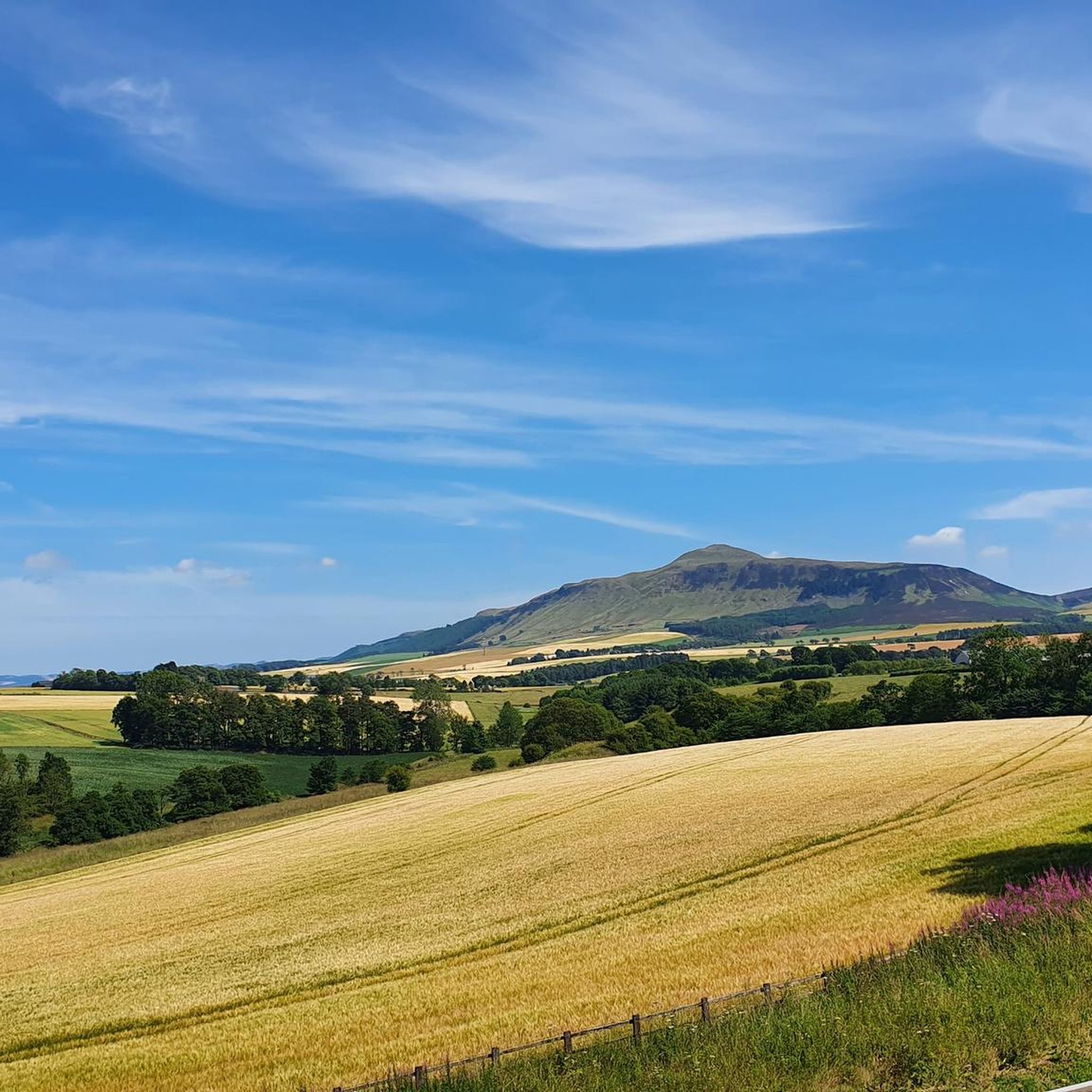
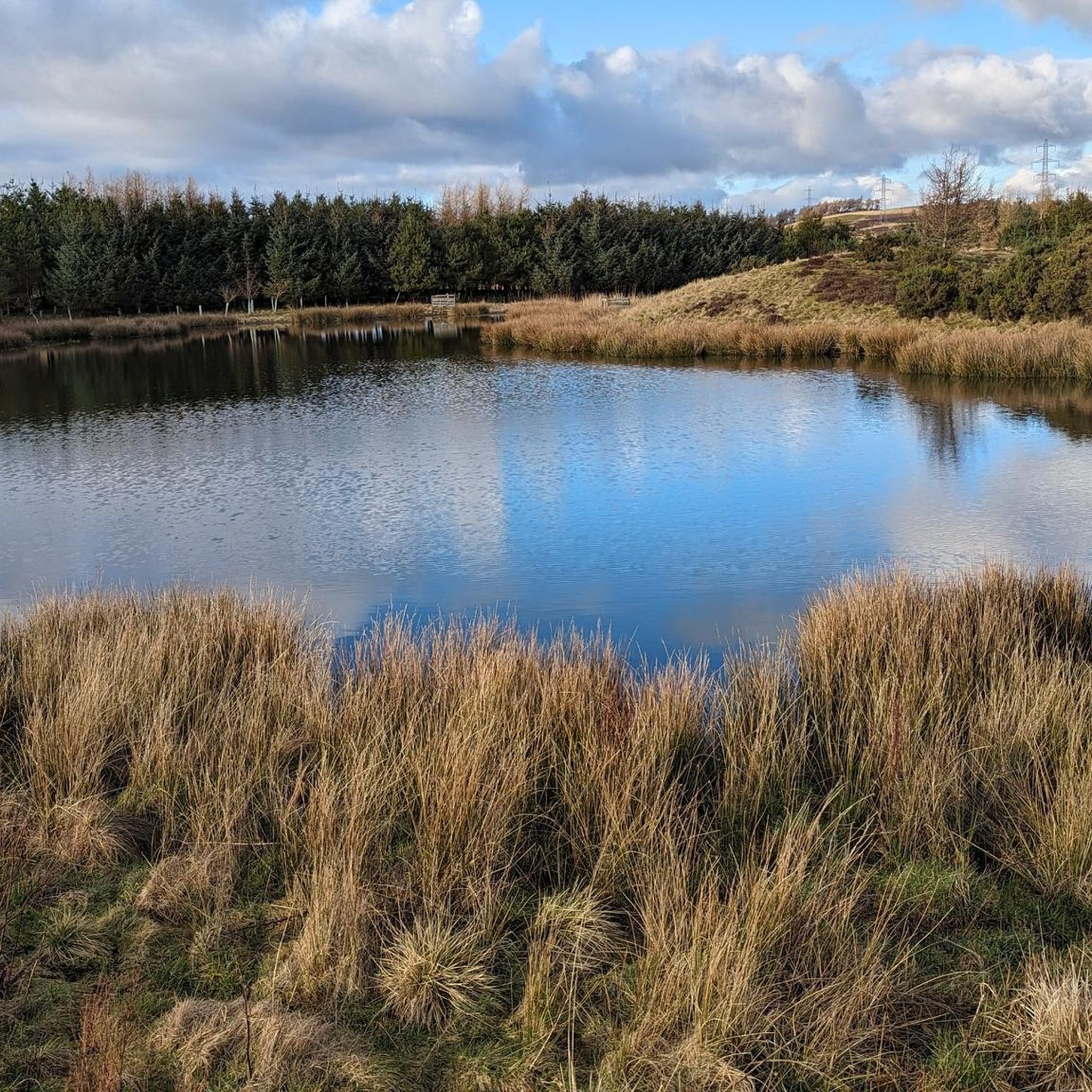
Jogging around Glenfarg offers diverse terrain within the Perth and Kinross region of Scotland. The landscape features rolling hills, including the prominent Lomond Hills and the undulating Ochil Hills, providing varied elevation for running. The area also encompasses tranquil lochs, such as Glenfarg Reservoir, and open countryside. Jogging routes often follow established path networks, minor roads, and disused railway lines, offering a mix of surfaces.
Best jogging routes around Glenfarg
- The most popular jogging route is Glenfarg Viaduct – Glenfarg…
Last updated: June 24, 2026
3.0
(1)
16
runners
8.61km
01:01
170m
170m
Moderate run. Good fitness required. Mostly accessible paths. Some sure footedness required.
11
runners
15.7km
01:39
140m
140m
Hard run. Very good fitness required. Mostly paved surfaces. Suitable for all skill levels.

Sign up for free
12
runners
4.98km
00:31
10m
10m
Easy run. Great for any fitness level. Mostly paved surfaces. Suitable for all skill levels.
5.0
(1)
5
runners
Hard run. Very good fitness required. Sure-footedness, sturdy shoes and alpine experience required.
4
runners
9.48km
01:00
90m
90m
Moderate run. Good fitness required. Mostly paved surfaces. Suitable for all skill levels.
Get access to more routes and recommendations from other explorers.
Sign up for free
Already have an account?
Our route recommendations are based on thousands of hikes, rides, and runs completed by other people on komoot.
Start today with a free account
Your next adventure awaits.
Login or Signup

Tips from the Community

Tunnels (totally about a kilometer) are rideable IF you have lights so it's recommended for the novel experience. Cuttings at ends of tunnel can be very VERY wet.
0
0

This is a good elevated viewing point looking over Perth and the M90 motorway
0
0

Enjoying the view is always a good excuse for a pause.
0
0
Good wide dirt tracks that are generally not too steep. Tracks, in parts, are muddy after rain.
0
0
A scenic view and an excellent excuse for a wee rest and maybe a cuppa.
0
0
Well, it's an excuse for a pause while hiking up the hill.
0
0
For Trail MTB explorers on an adventure. For Trail MTB explorers on an adventure. From the trig point at Moncrieffe Hillfort, there are excellent views over the River Tay and M90 motorway towards the Ochil Hills. The views themselves are worth the effort. The off-road vehicle-grade woodland gravel track from the northwest offers excellent, albeit steep, access and an enjoyable ride (on an eMTB).
0
0

Light or torch required. There are two old railway tunnels each approx. 500m long.Track between the tunnels can be a bit boggy in places but generally good
0
0
Frequently Asked Questions
How many running routes are available around Glenfarg?
Glenfarg offers a wide selection of running routes, with over 180 trails available. These range from easy loops to more challenging hill tracks, catering to various fitness levels.
What kind of terrain can I expect on running trails in Glenfarg?
The terrain around Glenfarg is quite diverse, featuring rolling hills, tranquil lochs, and open countryside. You'll find a mix of surfaces, including established path networks, minor roads, and even disused railway lines. The area is situated within the Ochil Hills, providing a naturally undulating environment.
Are there running routes suitable for beginners in Glenfarg?
Yes, Glenfarg has routes suitable for beginners. For instance, the Running loop from Bridge of Earn is an easy 3.1-mile (5.0 km) trail that takes about 30 minutes to complete, leading through local paths. The Glenfarg Path Network also includes a Green Route (Duncrievie Circular) which is the shortest and offers gentle views.
What are some challenging running routes in the Glenfarg area?
For a more challenging run, consider the View of Perth from Rhynd Road loop from Bridge of Earn, a difficult 9.7-mile (15.7 km) path offering expansive views. Another demanding option is the Moncreiffe Hillfort Viewpoint – View of Perth from the Bench loop from Bridge of Earn, which is over 12 miles (20 km) with significant elevation gain. The Red and Purple routes of the Glenfarg Path Network also feature hill tracks and rougher terrain.
Are there any circular running routes in Glenfarg?
Yes, many routes in Glenfarg are circular. The Glenfarg Path Network itself comprises four circular routes of varying lengths and difficulties, all starting and finishing at the village shop. These include the Duncrievie Circular, Balcanquhal Circular, Lochelbank & Dron Hill, and the Reservoir Circular. The Glenfarg Viaduct – Glenfarg Tunnels loop from Bein Inn is also a popular circular option.
What unique features or landmarks can I discover while jogging near Glenfarg?
You can experience unique features like the disused railway line north of Glenfarg, which includes two old railway tunnels – a torch is recommended for the approximately 500-meter-long first tunnel. You'll also find panoramic views of the Lomond Hills and the Howe of Fife. The Glenfarg Viaduct – Glenfarg Tunnels loop from Bein Inn specifically highlights these railway features.
Are there any historical sites or castles I can see on a run?
Yes, the region around Glenfarg is rich in history. The Blue Route of the Glenfarg Path Network passes by historic sites like Arngask Church and Balvaird Castle. Other nearby castles you might explore include Lochleven Castle and Burleigh Castle.
Can I find routes with scenic viewpoints in Glenfarg?
Absolutely. Many routes offer stunning vistas. The Duncrievie Circular provides elevated views of Glenfarg and the Lomond Hills. Longer routes like the Red Route (Lochelbank & Dron Hill) feature impressive views in all directions from high points such as Cairn Geddes and Dron Hill. You can also find viewpoints like East Lomond and West Lomond Summit in the nearby Lomond Hills.
Are the running trails around Glenfarg suitable for families?
Many trails in Glenfarg are suitable for families, especially those on the easier side. The Green Route of the Glenfarg Path Network is a shorter, more accessible option. While not directly in Glenfarg, the 13-mile (21 km) Loch Leven Heritage Trail is an accessible, mostly level, and barrier-free path suitable for all abilities, including families.
Are there dog-friendly running trails in Glenfarg?
Most of the outdoor trails and path networks around Glenfarg are dog-friendly, provided dogs are kept under control, especially near livestock. The varied terrain, from woodland paths to open hill tracks, offers plenty of options for you and your canine companion to enjoy.
Is there public transport access to the running routes in Glenfarg?
Glenfarg village itself is served by some local bus routes, which can provide access to the starting points of the Glenfarg Path Network. Additionally, National Cycle Route 775 runs through the village, offering further connectivity. For routes starting further afield, like those from Bridge of Earn, checking local bus services to those specific villages would be advisable.
What are the parking options for runners in Glenfarg?
Parking is generally available in or near Glenfarg village, especially for those accessing the Glenfarg Path Network which starts from the village shop. For routes that begin outside the village, such as those near Bridge of Earn, specific parking information would be available on the individual route pages on komoot.
What do other runners say about the trails in Glenfarg?
The running routes in Glenfarg are highly rated by the komoot community, with an average score of 4.5 stars from over 19 reviews. More than 3000 runners have used komoot to explore Glenfarg's varied terrain, often praising the diverse landscape, scenic views, and the unique experience of running through the old railway tunnels.
Are there any longer running trails for endurance training near Glenfarg?
Yes, for endurance training, you can find several longer routes. The Moncreiffe Hillfort Viewpoint – View of Perth from the Bench loop from Bridge of Earn is a difficult 12.8-mile (20.5 km) trail. The Purple Route of the Glenfarg Path Network is also the longest of the four, traversing around the top end of the reservoir and involving moderately steep terrain suitable for longer efforts.
Most popular attractions around Glenfarg

Get inspired with the komoot mobile app


Explore more
Browse the best Running Trails & Routes in other regions.
