The best road cycling routes around Blairgowrie And Rattray
4.6
(65)
1,857
riders
43
rides
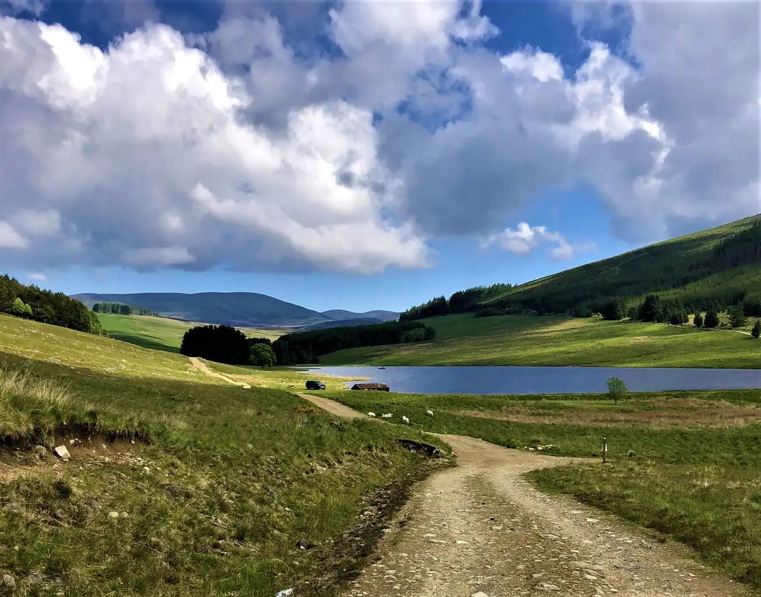
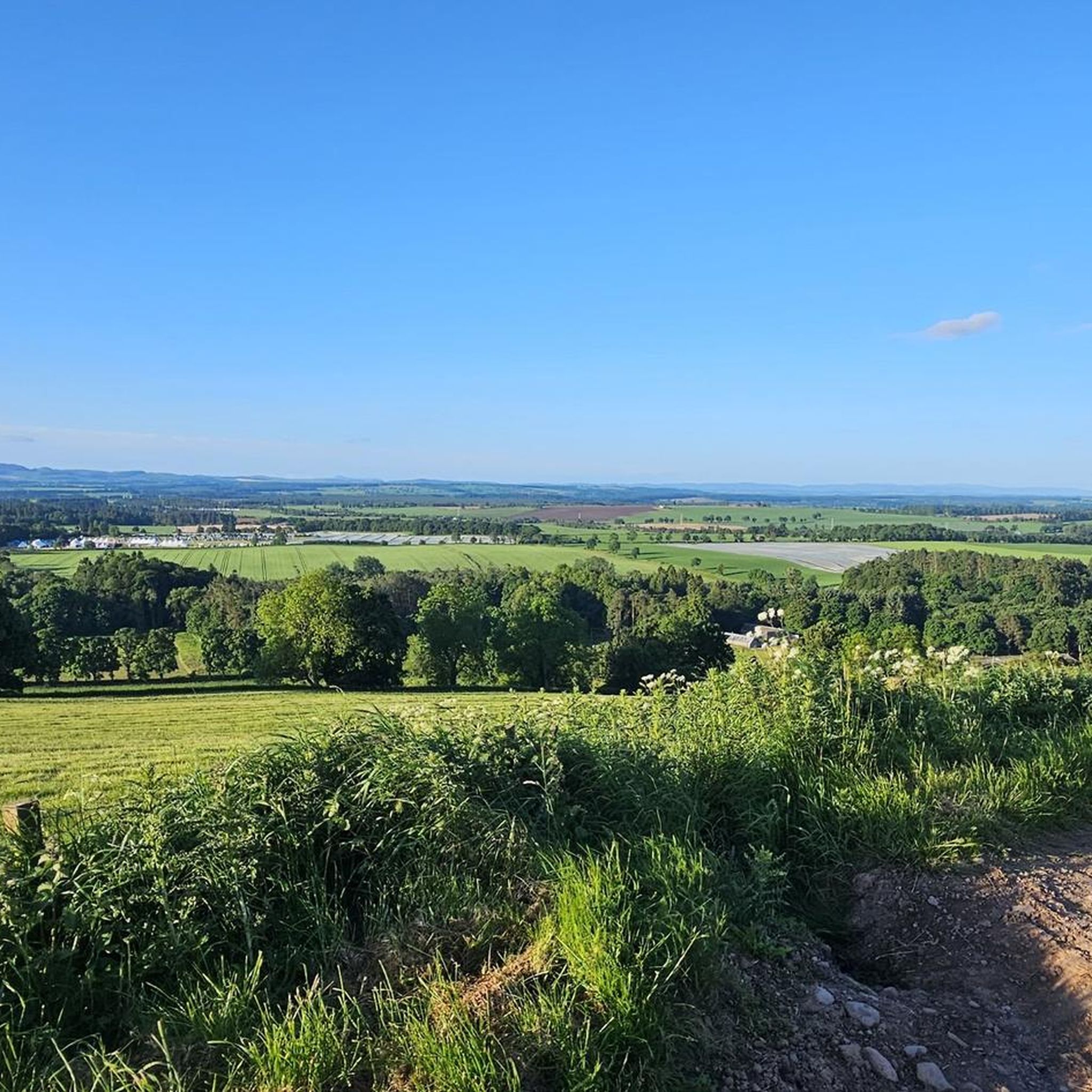
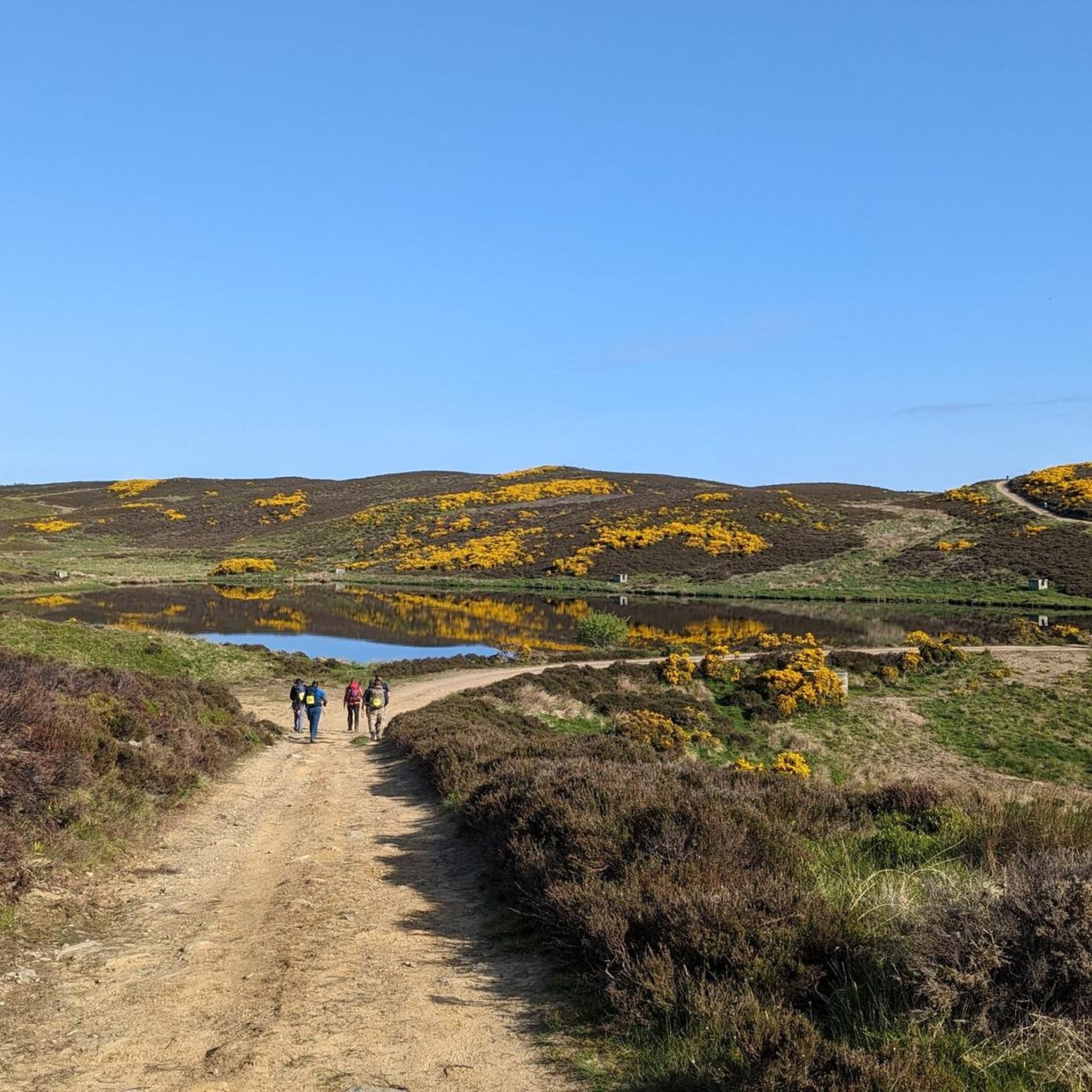
Road cycling around Blairgowrie And Rattray offers a diverse landscape at the foot of the Grampian Mountains. The region features rolling hills, extensive woodlands, and the serene River Ericht, providing varied terrain for cyclists. Routes often traverse open countryside and farmlands, with some sections offering views towards the wider Strathmore area. The mix of challenging gradients and gentler paths caters to different road cycling preferences.
Best road cycling routes around Blairgowrie And Rattray
- The most popular road cycling route is Meikleour Beech Hedge – Perth Bridge loop from Blairgowrie and Rattray, a 51.6 miles (83.0 km) trail that takes 3 hours 32 minutes to complete. This moderate route explores varied countryside and passes by the notable Meikleour Beech Hedge.
- Another top favourite among local road cyclists is Ballater Station – Glenshee Ski Centre loop from Blairgowrie and Rattray, a difficult 101.1 miles (162.7 km) path. This challenging route features significant elevation gain as it heads towards the Grampian Mountains and Glenshee.
- Local road cyclists also love the Dunkeld Cathedral – Dunkeld Town Centre loop from Blairgowrie and Rattray, a 24.1 miles (38.7 km) trail leading through scenic areas around Dunkeld, often completed in about 1 hour 45 minutes.
- Road cycling around Blairgowrie And Rattray is defined by rolling hills, the River Ericht, and extensive woodlands. The network offers options for easy, moderate, and difficult routes, accommodating various ability levels.
- The routes in Blairgowrie And Rattray are highly rated by the komoot community with an average score of 4.8 stars from over 9 reviews. More than 550 road cyclists have used komoot to explore Blairgowrie And Rattray's varied terrain.
Last updated: October 11, 2026
96
riders
83.0km
03:30
590m
590m
Moderate road ride. Good fitness required. Mostly well-paved surfaces and easy to ride.
5.0
(1)
64
riders
163km
07:13
1,620m
1,620m
Hard road ride. Very good fitness required. Mostly well-paved surfaces and easy to ride.

54
riders
38.7km
01:45
320m
320m
Moderate road ride. Good fitness required. Some segments of this route may be unpaved and difficult to ride.
19
riders
34.2km
01:27
270m
270m
Easy road ride. Great for any fitness level. Mostly well-paved surfaces and easy to ride.
5.0
(1)
13
riders
Easy road ride. Great for any fitness level. Mostly well-paved surfaces and easy to ride.
Get access to more routes and recommendations from other explorers.
Already have an account?
Our route recommendations are based on thousands of hikes, rides, and runs completed by other people on komoot.
Start today with a free account
Your next adventure awaits.
Popular around Blairgowrie And Rattray
Other adventures around Blairgowrie And Rattray

Tips from the Community

Ballater is located in the Scottish Highlands, about 85 kilometers west of Aberdeen. The small town lies on the River Dee and at the foothills of the Cairngorm Mountains and the Cairngorms National Park. Until 1966, the towns of Ballater and Aberdeen were connected by the Deeside Line or Deeside Railway. It ran primarily along the River Dee and through the beautiful nature of the region. After its dismantling, the track was converted into a regional cycle path and hiking trail, which is still used by numerous outdoor enthusiasts today. The railway line ended at Ballater station, which is now disused and houses a museum. Among other things, you can see Queen Victoria's waiting room there, who used Ballater station on her journey to Balmoral Castle.
0
0

A steady 8-10% climb from the south - amazing views.
0
0

For those interested in such things: there's an OS benchmark flush bracket on the south-east corner of the bridge parapet.
1
0

Cathedral is nice but the huge old trees are spectacular
0
0

There's nothing more to see here than a gate. Hidden behind it, of course, is Balmoral Castle, the famous summer residence of the British royal family. With a ticket, we were able to visit it with our bikes in hand, which was really nice.
3
0


Good view up and down the river, Perth riverfront city centre and Kinnoull Hill
0
0
Frequently Asked Questions
How many road cycling routes are available around Blairgowrie And Rattray?
There are over 40 road cycling routes around Blairgowrie And Rattray, offering a diverse range of experiences. These include 19 easy routes, 24 moderate routes, and 3 more challenging options, catering to various skill levels.
What kind of terrain can I expect on road cycling routes in Blairgowrie And Rattray?
The region offers a varied landscape for road cycling. You'll encounter rolling hills, extensive woodlands, and scenic stretches along the River Ericht. Routes often traverse open countryside and farmlands, with some sections providing views towards the Grampian Mountains and the wider Strathmore area. This mix includes both challenging gradients and gentler paths.
Are there road cycling routes suitable for beginners or families in Blairgowrie And Rattray?
Yes, Blairgowrie And Rattray offers several easy road cycling routes perfect for beginners or families. For example, the Loch of Clunie – Meikleour Beech Hedge loop from Blairgowrie and Rattray is an easy 21.2-mile (34.2 km) route. Another great option is the Loch of Clunie – Blairgowrie Town Centre loop from Blairgowrie and Rattray, which is 17.2 miles (27.8 km) and also rated easy.
What are some challenging road cycling routes for experienced cyclists?
For experienced cyclists seeking a challenge, the region provides routes with significant elevation gain. The Ballater Station – Glenshee Ski Centre loop from Blairgowrie and Rattray is a difficult 101.1-mile (162.7 km) path that heads towards the Grampian Mountains and Glenshee, featuring substantial climbs.
What interesting landmarks or viewpoints can I see along the road cycling routes?
Many routes offer opportunities to see notable landmarks and enjoy panoramic views. You might pass by historical sites like the Alyth Packhorse Bridge or the impressive Dunkeld Cathedral. For stunning vistas, consider routes that offer views towards Kinpurney Tower or King's Seat, Birnam Hill, which provide expansive views of the surrounding countryside, Strath Tay, and the Sidlaw Hills.
Are there any circular road cycling routes available?
Yes, many of the road cycling routes around Blairgowrie And Rattray are circular, allowing you to start and end in the same location. Examples include the Meikleour Beech Hedge – Perth Bridge loop from Blairgowrie and Rattray and the Dunkeld Cathedral – Dunkeld Town Centre loop from Blairgowrie and Rattray, both designed as loops.
What do other road cyclists enjoy most about cycling in Blairgowrie And Rattray?
The area is highly rated by the komoot community, with an average score of 4.8 stars from over 9 reviews. Cyclists often praise the diverse terrain, from rolling hills to scenic river paths, and the extensive woodlands that provide beautiful, sheltered routes. The mix of challenging and gentler paths also caters to a wide range of abilities.
What is the best time of year for road cycling in Blairgowrie And Rattray?
Spring and autumn are particularly popular for road cycling in Blairgowrie And Rattray. Spring brings blooming landscapes, including the beautiful Bluebell Wood, while autumn offers stunning foliage. Summer provides longer daylight hours, though routes can be busier. Always check local weather conditions, especially when heading towards higher elevations like Glenshee, as conditions can change rapidly.
Are there options for parking near the road cycling routes?
Yes, Blairgowrie And Rattray, as a hub for outdoor activities, generally offers parking options. Many routes start from or pass through towns and villages where public parking is available. It's advisable to check specific starting points for designated parking areas or local car parks.
Can I access road cycling routes using public transport with my bike?
Public transport options are available in the region, connecting Blairgowrie And Rattray to nearby towns. While some buses may accommodate bikes, it's essential to check with the specific bus operator regarding their bike carriage policies and space availability, especially during peak times. The developing Strathmore Cycle Network aims to improve connectivity between towns like Alyth and Coupar Angus with multi-purpose paths.
Are there any cafes or pubs along the road cycling routes for a break?
Yes, many routes pass through or near villages and towns where you can find cafes and pubs. Blairgowrie And Rattray itself has various establishments, and smaller communities along the routes often offer welcoming spots for a refreshment break. It's a good idea to plan your route with potential stops in mind.
What kind of wildlife might I spot while road cycling in the area?
The local environment is rich in nature, with efforts to support biodiversity. While road cycling, you might spot various bird species, deer, and other small mammals, especially in the quieter, wooded sections or along the River Ericht. The region's extensive woodlands and natural features make it pleasant for wildlife spotting.
Most popular routes around Blairgowrie And Rattray
Most popular attractions around Blairgowrie And Rattray

Get inspired with the komoot mobile app


Explore more
Browse the best Road cycling routes in other regions.
