The best walks and hikes around Gramatneusiedl
4.5
(433)
2,476
hikers
255
hikes
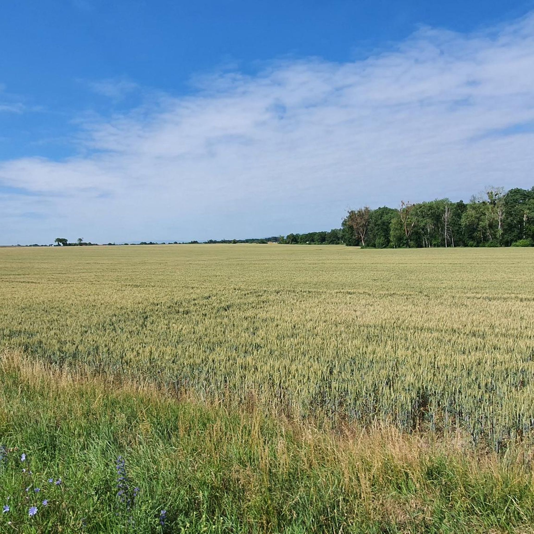
Hiking around Gramatneusiedl offers a network of trails primarily characterized by flat terrain and open landscapes, often traversing agricultural fields and small wooded areas. The region is situated in a relatively low-lying area, with minimal elevation changes, making it suitable for accessible outdoor activities. Trails frequently follow riverine paths and connect small villages, providing a mix of natural and cultural points of interest.
Best hiking trails around Gramatneusiedl
- The most popular hiking route is Catholic Church Mossbrunn – Mossbrunn Cemetery…
Last updated: July 8, 2026
17
hikers
Moderate hike. Good fitness required. Easily-accessible paths. Suitable for all skill levels.
4.0
(1)
20
hikers
6.21km
01:34
10m
10m
Easy hike. Great for any fitness level. Easily-accessible paths. Suitable for all skill levels.

Sign up for free
12
hikers
7.21km
01:50
20m
20m
Easy hike. Great for any fitness level. Easily-accessible paths. Suitable for all skill levels.
5.0
(2)
14
hikers
Easy hike. Great for any fitness level. Easily-accessible paths. Suitable for all skill levels.
5.0
(3)
13
hikers
Easy hike. Great for any fitness level. Easily-accessible paths. Suitable for all skill levels.
Get access to more routes and recommendations from other explorers.
Sign up for free
Already have an account?
Our route recommendations are based on thousands of hikes, rides, and runs completed by other people on komoot.
Start today with a free account
Your next adventure awaits.
Login or Signup
Tips from the Community

Excellent golf course in the south of Vienna, good atmosphere on the course, friendly service at the reception and in the restaurant.
0
0
The original church from the 12th century was a branch of the Traiskirchen parish church and was elevated to a parish church in 1312. In 1684, a chapel was built. In the second half of the 18th century, two side aisles were added. In 1789, it became a parish again in the course of the deconsecration of the cemetery church. In 1861 there was a fire and in 1870 the renovation took place.
0
0
The war memorial consists of a pedestal, on which the natural stone statue of a repatriate in uniform is placed. The inscription reads: TO THE MOSSBRUNN RESIDENTS WHO DID NOT RETURN FROM THE GREAT WARS AND LIE SOMEWHERE IN FOREIGN SOIL. To the right and left, plaques with the names of the fallen and steles with lanterns flank the central inscription plaque.
0
0


now renovated and no more plants and railway tracks on the bridge
1
0


Nice place for a break, if possible the most beautiful place in the municipality for sunset
0
0

Game reserve, for children and adults - very interesting.
25
0
Frequently Asked Questions
How many hiking trails are available around Gramatneusiedl?
There are over 260 hiking routes in the Gramatneusiedl area, offering a wide range of options for different preferences and fitness levels. The majority, around 180, are considered easy.
Are there many easy hiking trails suitable for beginners in Gramatneusiedl?
Yes, Gramatneusiedl is ideal for beginners and those seeking relaxed walks. The region is characterized by flat terrain and minimal elevation changes. For example, the Hammock Rest Area – Haiderbach Stream loop from Himberg is an easy 3.9-mile (6.2 km) path following a tranquil stream.
What kind of landscapes can I expect on hikes around Gramatneusiedl?
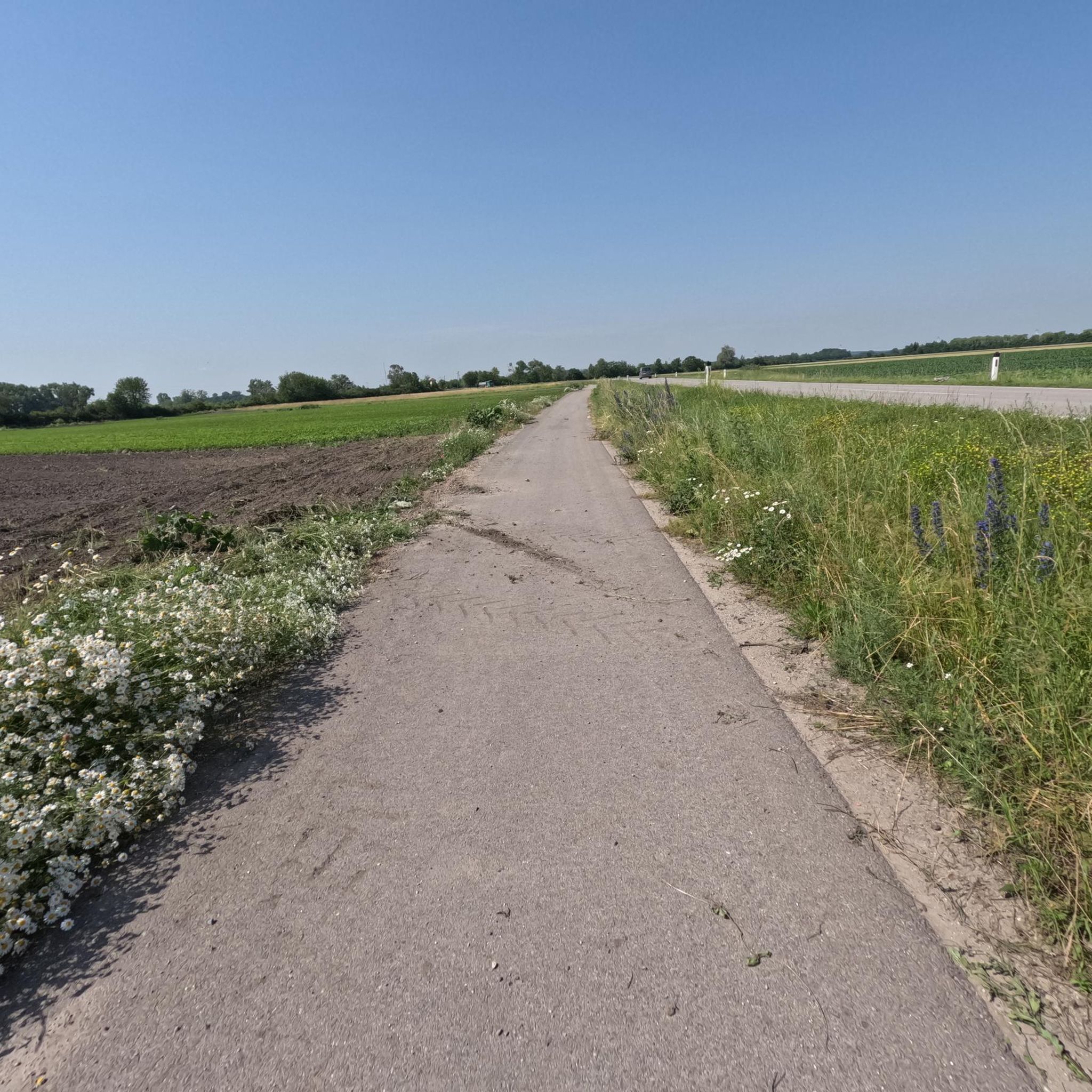
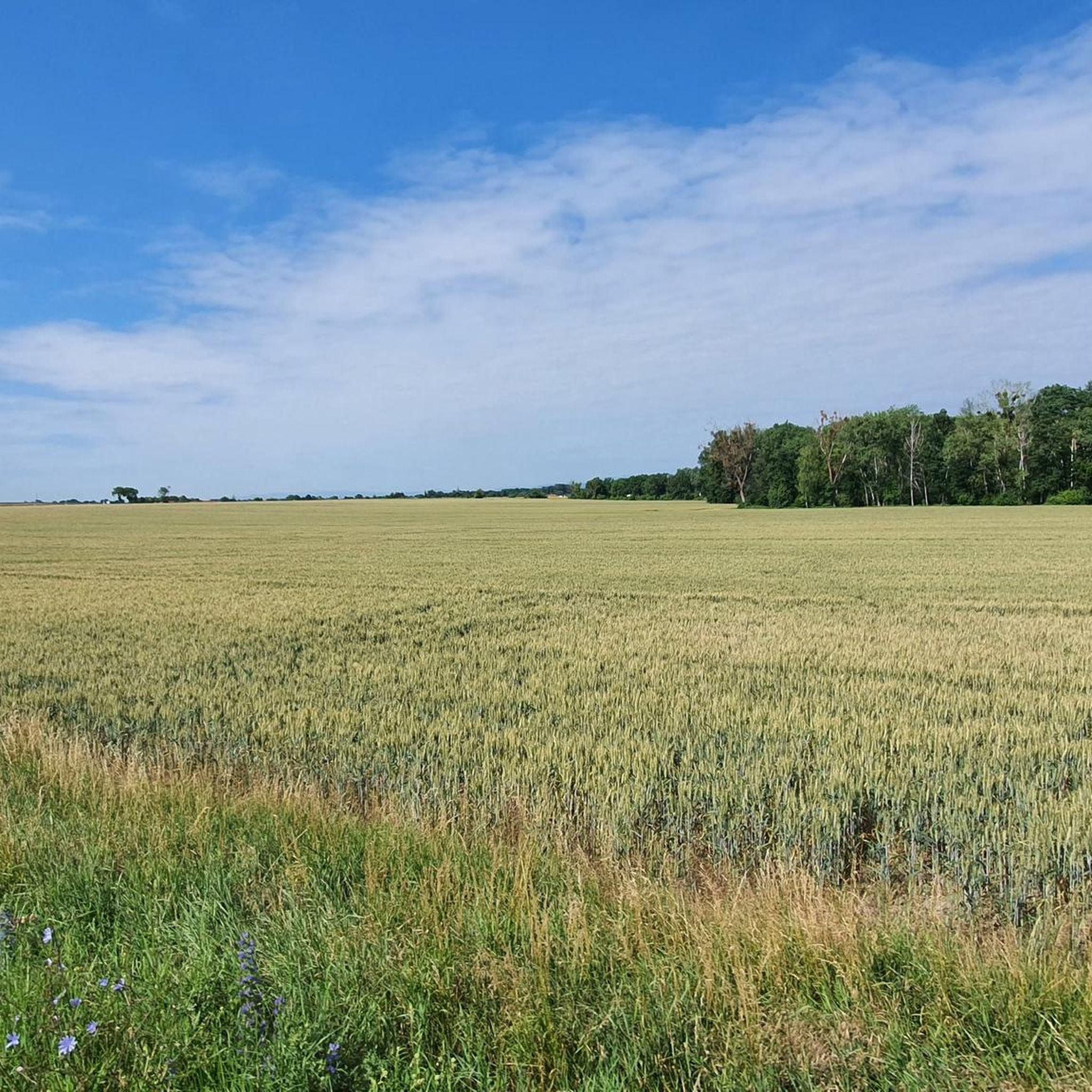
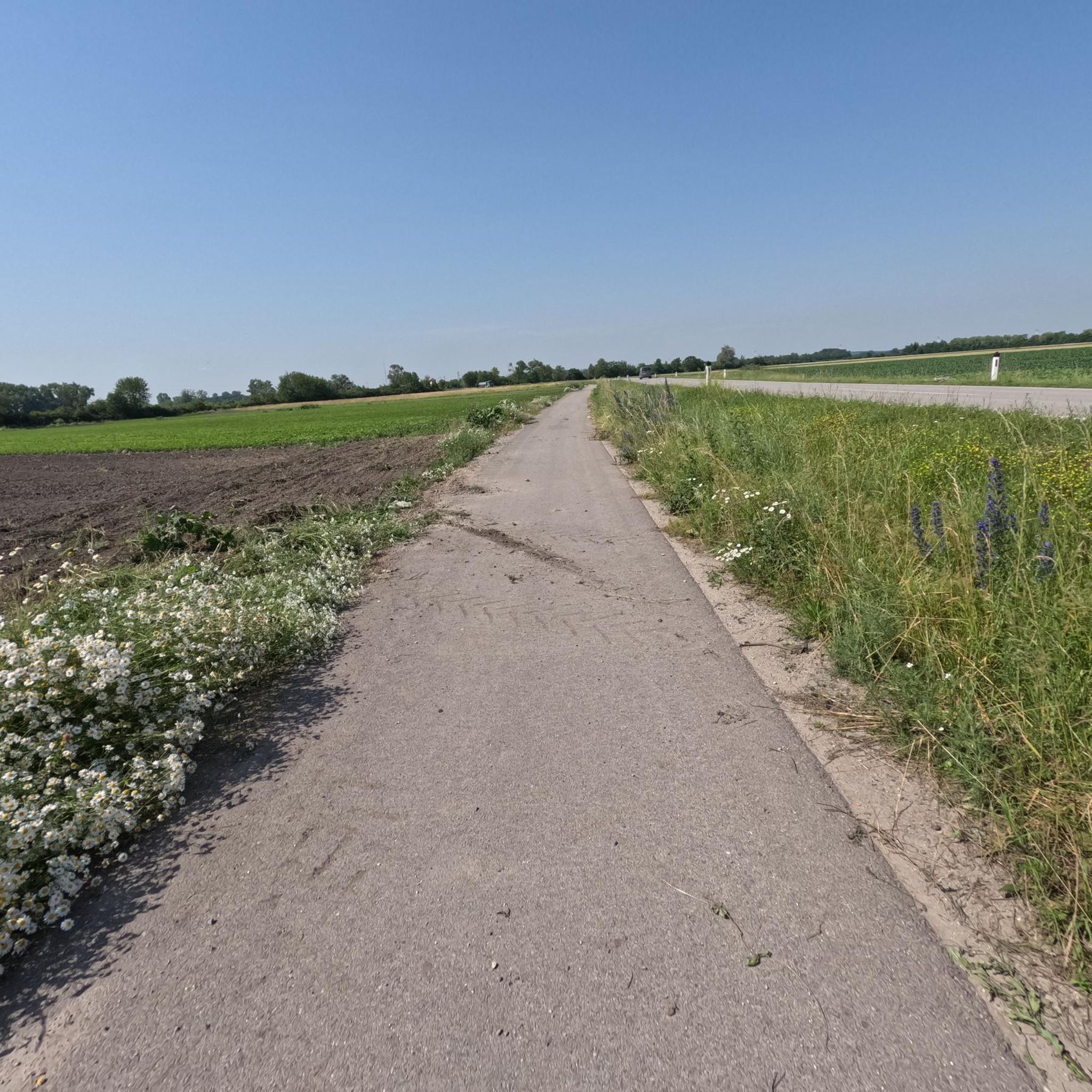
Hiking around Gramatneusiedl primarily features open agricultural landscapes, small wooded areas, and riverine paths. You'll often find trails connecting small villages, offering a mix of natural scenery and local charm.
Are there any family-friendly hiking routes in the area?
Many trails around Gramatneusiedl are suitable for families due to their flat and gentle nature. The Fischabrücke – Old Railway Bridge loop from Ebergassing is a 4.5-mile (7.2 km) easy trail through open fields and along the Fischa river, perfect for a family outing.
Can I bring my dog on the hiking trails in Gramatneusiedl?
Most trails in the Gramatneusiedl region are dog-friendly, especially those traversing open fields and wooded paths. Always keep your dog on a leash, especially near agricultural areas or wildlife, and ensure you clean up after them.
Are there any circular walks available around Gramatneusiedl?
Yes, many of the hiking routes in Gramatneusiedl are designed as circular walks, allowing you to start and end at the same point. The Catholic Church Mossbrunn – Mossbrunn Cemetery loop from Moosbrunn is a popular 5.0-mile (8.0 km) circular trail.
What interesting sights or attractions can I find near the hiking trails?
While hiking, you can explore various points of interest. Consider visiting the Laxenburg Town Centre or the unique Confluence of the Triesting and the Schwechat rivers. For a natural highlight, the Marianneninsel (Marianne Island) and ruins of the Mariannentempel offer a scenic stop.
What do other hikers enjoy most about hiking in Gramatneusiedl?
The area is highly rated by the komoot community, with an average score of 4.5 stars from over 400 reviews. Hikers often praise the tranquil atmosphere, the gentle paths, and the accessibility of the routes, making it a pleasant experience for all skill levels.
Are there any trails that pass by water features like rivers or lakes?
Yes, many routes follow riverine paths, such as those along the Fischa river or Haiderbach Stream. You can also find trails near lakes like Unterwaltersdorf Lake, offering pleasant waterside views.
What is the best time of year to go hiking in Gramatneusiedl?
Spring and autumn are generally the most pleasant seasons for hiking in Gramatneusiedl, with mild temperatures and colorful scenery. Summer can also be enjoyable, especially on shaded paths or early in the morning, while winter offers a different, often serene, landscape for walks.
Are there any trails where I might spot wildlife?
Given the small wooded areas and riverine paths, you might encounter various local wildlife, including birds and small mammals. The Reisenberg Wildlife Enclosure – Mitterndorf Cemetery loop from Mitterndorf an der Fischa is a good option for nature observation.
Are there any cafes or places to eat along the hiking routes?
While specific cafes directly on every trail might be limited, many routes connect small villages where you can find local eateries or shops for refreshments. Planning your route to pass through a village can provide a convenient break.
Is public transport available to reach hiking starting points in Gramatneusiedl?
Gramatneusiedl is accessible by public transport, and some trailheads are within walking distance of train or bus stops. It's advisable to check local public transport schedules and connections to specific starting points before your hike.
Most popular routes around Gramatneusiedl
Most popular attractions around Gramatneusiedl

Get inspired with the komoot mobile app


Explore more
Browse the best Hikes in other regions.
