The 4 Most Amazing Peaks around Brokstedt
Best mountain peaks around Brokstedt are characterized by the region's generally flat landscape, with an average elevation of 21 meters above sea level. However, the area features notable elevated points, often referred to as "moraine peaks," particularly on the edge of the Aukrug Nature Park. The Boxberg, standing at 78 meters, is a prominent example, offering expansive views of the surrounding landscape. These elevated areas provide opportunities to explore the local topography and enjoy scenic viewpoints.
Best mountain peaks around…
Last updated: October 16, 2026
View from Boxberg
Highlight • Viewpoint
Translated by Google •
Tip by

Luisenberger Tower
Highlight • Monument
Translated by Google •
Tip by

Sign up now to discover places like this
Get recommendations on the best single tracks, peaks, & plenty of other exciting outdoor places.
Glasberg
Highlight • Summit
Translated by Google •
Tip by

Itzespitze Summit Cross
Highlight • Summit
Translated by Google •
Tip by

Boxberg Beginner Enduro Trail
Highlight (Segment) • MTB Park
Translated by Google •
Tip by

Start today with a free account
Your next adventure awaits.
Popular around Brokstedt
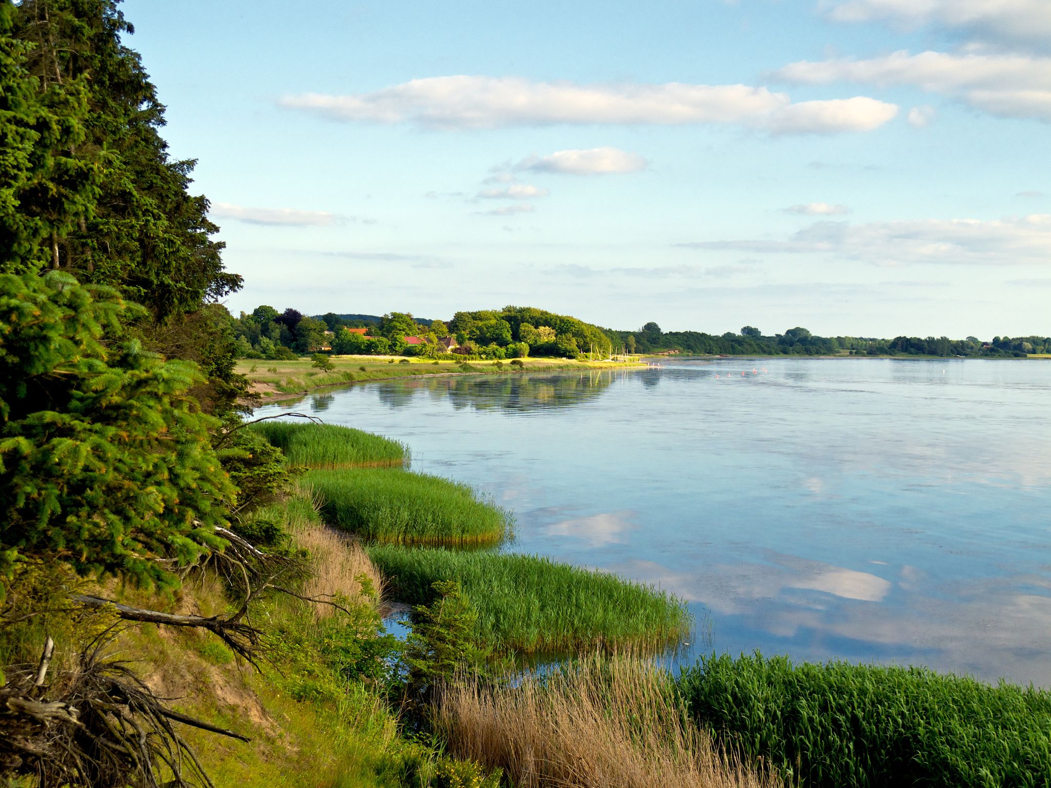
Germany’s blossoming inland — marsh, lakes and fjords in spring
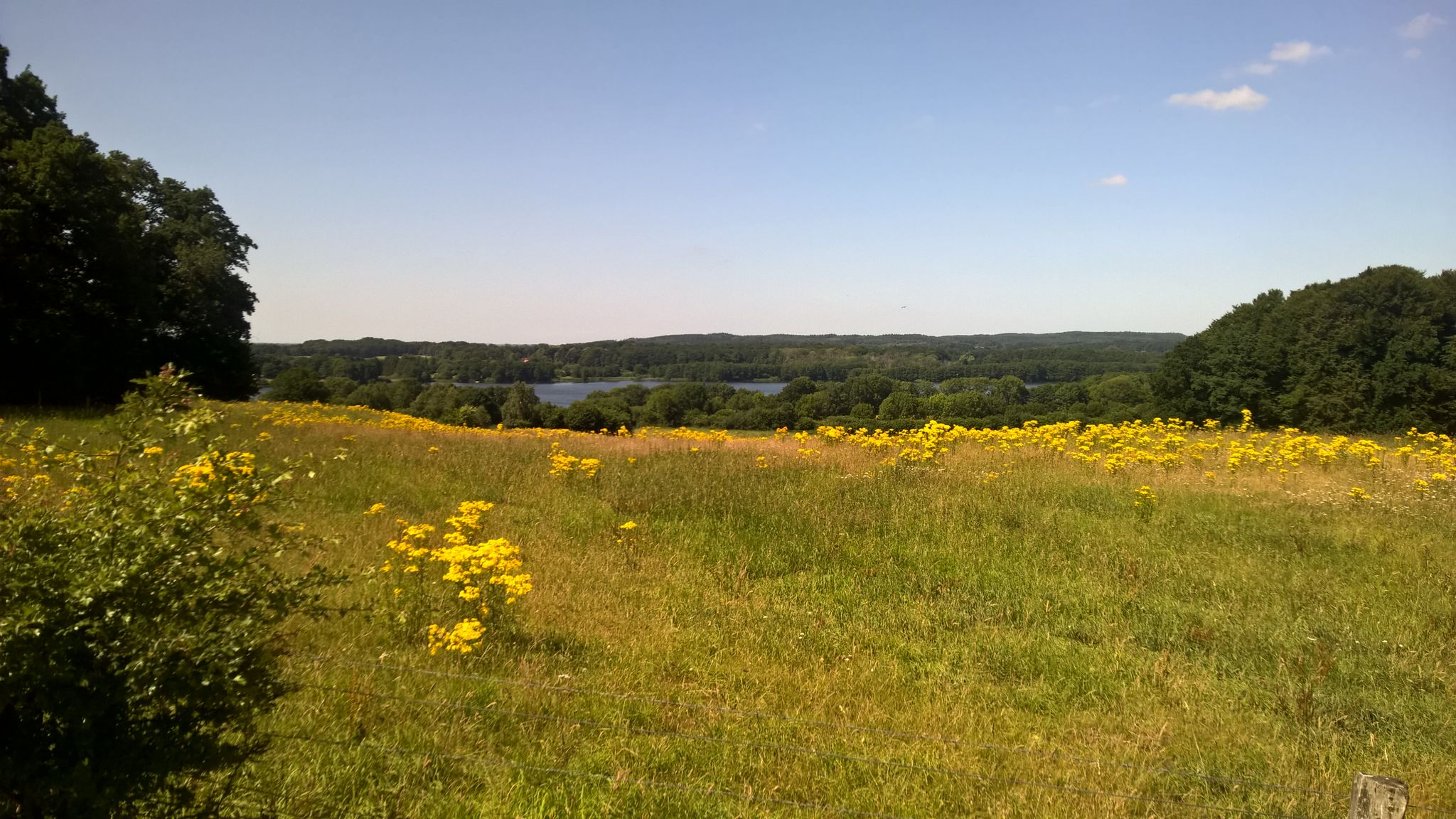
In ten days on Nature park trail through the hinterland
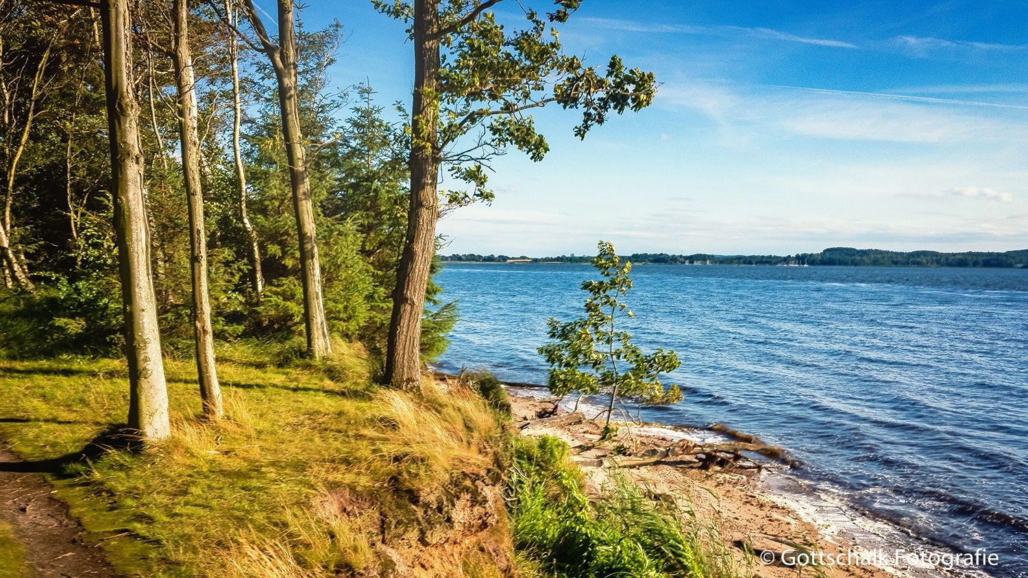
Germany’s golden inland – hike marsh, lakes and fjords in autumn
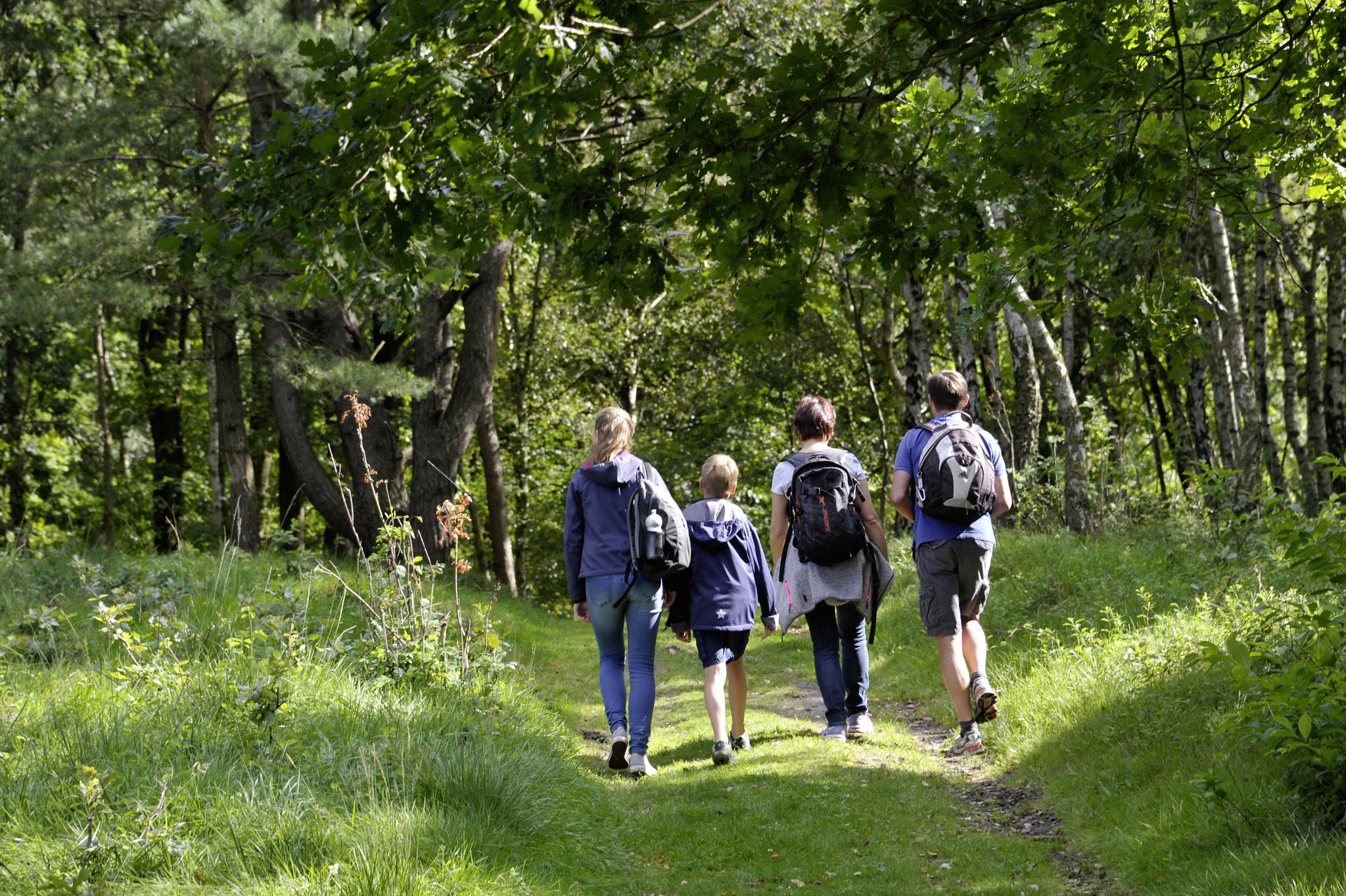
Wandern in Holstein
Pilger- und Fernwanderwege im Binnenland Schleswig-Holsteins
Cycling around Brokstedt
MTB Trails around Brokstedt
Running Trails around Brokstedt
Road Cycling Routes around Brokstedt

Gravel biking around Brokstedt
Other adventures around Brokstedt


Tips from the Community

At 76.8 meters, the Boxberg is not the highest elevation in the Aukrug Nature Park, but it is one of the few moraine peaks in central Holstein that deserves the name "mountain." The Itzespitze, at 83.4 meters, is even higher than the Boxberg. Today, only a few beech trees grow on the grounds of the Boxberg recreational forest. If you want to learn more about the Aukrug Nature Park and its origins, visit: https://nationale-naturlandschaften.de/gebiete/naturpark-aukrug.
4
0

Unfortunately only open for a few hours on the first Sunday of the month.
1
0

Hardly anyone knows the Itzespitze, located on the road between Hennstedt and Aukrug. The Itzespitze is the highest mountain (83.4 meters) in the district of Steinburg - SH. At the summit cross there is a summit book in which you can sign. The summit cross is very easy to reach from the car park below in 10 steps. You can also see the cross from the car park.
3
0


Here is the Itzespitze, the highest elevation or "mountain" in the Aukrug Nature Park. However, you have to search a lot for the cross, because (at least now in December) it disappears very much between the trees.
3
0

The Itzespitze is an elevation on the L121 between Aukrug and Hennstedt. With a height of 83.4 m, it is the highest elevation in the district of Steinburg and in the Aukrug Nature Park. The previously unnamed elevation got its name during a Father's Day outing in 1998 by members of the German Alpine Club. Press and television reported humorously about the first ascent of the highest point in the district of Steinburg, where a summit cross and a climbing aid were attached. In 2018 the name was included in the topographical map of the state surveying office. https://de.wikipedia.org/wiki/Itzespitze
2
0

I would rather not plan the picnic on the summit because it is often too windy here.
8
0

With a height of 76.8 m, the Boxberg is not the highest point in the Aukrug Nature Park, but it is one of the few moraine peaks in central Holstein that deserve the name of a mountain. At 83.4 m, the Itzespitze is even higher than the Boxberg.
10
0
Frequently Asked Questions
What are the highest elevated points or "peaks" near Brokstedt?
The highest elevated point near Brokstedt is the Itzespitze Summit Cross, standing at 83.4 meters. The View from Boxberg is another prominent elevated point at 78 meters, considered one of the highest in Schleswig-Holstein. While not traditional mountains, these moraine peaks offer significant elevation in the otherwise low-lying region.
What kind of views can I expect from the elevated points around Brokstedt?
From elevated points like the View from Boxberg, you can expect wonderful panoramic vistas of the surrounding landscape, including heathland and the Aukrug Nature Park. The Itzespitze Summit Cross also offers views, though it can be partially obscured by trees depending on the season.
Are there any historical sites among the elevated points near Brokstedt?
Yes, the Luisenberger Tower is a notable historical site near Brokstedt. Built in 1858, this impressive structure is open to visitors from April to October on the first Sunday of each month, between 2 and 4 pm.
Are there family-friendly elevated points to visit near Brokstedt?
Many of the elevated points around Brokstedt are considered family-friendly. The View from Boxberg, Glasberg, and Itzespitze Summit Cross are all suitable for families. The Itzespitze, in particular, is very easy to reach from a nearby car park.
What outdoor activities can I do near these elevated points around Brokstedt?
The area around Brokstedt offers diverse outdoor activities. You can find numerous hiking trails, including easy and moderate options like the "Old Farmhouse Brokstedt loop" or the "Pioneer Bridge loop." For cyclists, there are road cycling routes such as the "Cycle Path on the Stör Dike" and mountain biking trails, including the Boxberg Beginner Enduro Trail. You can explore more routes in the Hiking around Brokstedt, Road Cycling Routes around Brokstedt, and MTB Trails around Brokstedt guides.
Are there specific hiking trails to reach these elevated points?
Yes, you can find various hiking trails that lead to or pass by these elevated points. For instance, the View from Boxberg is a popular destination with trails around it. The Itzespitze Summit Cross is easily accessible from a car park. For detailed routes, refer to the Hiking around Brokstedt guide.
Can I go mountain biking on or near these elevated points?
Yes, the area provides opportunities for mountain biking. The Boxberg Beginner Enduro Trail is a dedicated MTB park on the Boxberg. Keep in mind that the Boxberg is a popular spot for hikers and tourists, so it can be heavily frequented. For more options, check the MTB Trails around Brokstedt guide.
What is the best time of year to visit the elevated points near Brokstedt?
The region's elevated points are generally accessible year-round. Spring and autumn offer pleasant temperatures for hiking and cycling, with vibrant natural colors. Summer is ideal for enjoying the views and outdoor cafes. While winter hiking is possible, be aware that the Itzespitze Summit Cross might be less visible among the trees during this season.
Are there facilities like cafes or places to rest near these elevated points?
Yes, at the foot of the View from Boxberg, you'll find the café "Am Boxberg" with a large and inviting beer garden, perfect for relaxation after your visit. The Boxberg also features numerous benches and a shelter at its "summit" for breaks.
Is there a less-known or secluded elevated point to explore?
If you prefer a more secluded experience, the Glasberg is an excellent choice. It rises to 64.2 meters and is off the main paths, making it ideal for those who enjoy a quiet exploration. Finding the way might require some effort as it's not signposted.
What natural features can I expect to see in the area around Brokstedt's elevated points?
The region around Brokstedt, including the Aukrug Nature Park, is characterized by diverse natural features. You can expect to see floodplains, inland dunes, and moraine peaks. The elevated points themselves often offer views of forests and heathland, providing a rich natural experience.
Most popular routes around Brokstedt
Most popular attractions around Brokstedt

Get inspired with the komoot mobile app


Explore more
See even more amazing summits around Brokstedt with these guides:
